• blog
  • gallery
  • shop
  • archive
  • about
Menu

dearantler

  • blog
  • gallery
  • shop
  • archive
  • about
Featured
IMG_3004 2.JPG
Travel
Hooves on the Ground: Onion Valley to Sixty Lake Basin and Col
Travel
Travel
IMG_8926.JPG
Travel
Hooves on the Ground: Grand Canyon's Clear Creek Trail and Cheyava Falls
Travel
Travel
IMG_6880.jpg
Travel
Hooves on the Ground: Miter Basin
Travel
Travel
IMG_6422.jpg
Travel
Hooves on the Ground: Tyee/Midnight/Hungry Packer Lakes, John Muir Wilderness
Travel
Travel
IMG_5896.jpg
Travel
Hooves on the Ground: Yosemite's Murphy Creek to Tuolumne Crest in the early season
Travel
Travel
IMG_5334 2.jpg
Travel
Hooves on the Ground: Grand Canyon's Tanner Trail and Escalante Route
Travel
Travel
IMG_3418.JPG
Travel
Hooves on the Ground: Mineral King Loop via Timber Gap and Lost Canyon
Travel
Travel
Hooves on the Ground: Darwin, Evolution, and Piute Canyons via Lamarck Col and Piute Pass
Travel
Hooves on the Ground: Darwin, Evolution, and Piute Canyons via Lamarck Col and Piute Pass
Travel
Travel
ThousandIsland.jpg
Travel
Hooves on the Ground: Thousand Island Lake via Rush Creek
Travel
Travel
IMG_3348.JPG
Travel
Hooves on the Ground: Grand Canyon's Hermit-Boucher Loop
Travel
Travel
DEARANTLER-SLIDER-2-1.png
Art
Elements of Existence
Art
Art
spellbound banner.png
Art
Spellbound | Wanderings Through the Witching Hour
Art
Art
IMG_0889.jpg
Travel
Hooves on the Ground: Yosemite's Grand Canyon of the Tuolumne and Old Big Oak Flat Road to El Capitan
Travel
Travel
psyche.jpg
Art
Psyche | Introspections In an Era of Uncertainty
Art
Art
LRG_DSC06553.JPG
Travel
Hooves on the Ground: Death Valley Albatross Plane Crash Site
Travel
Travel
HST map illustration.JPG
Travel
Hooves on the Ground: High Sierra Trail
Travel
Travel
Suspension.png
Art
Suspension
Art
Art
Hooves on the Ground: Nepal
Travel
Hooves on the Ground: Nepal
Travel
Travel
Hooves on the Ground: Cottonwood Pass and Lakes Loop (Miter Basin and Mt. Langley)
Travel
Hooves on the Ground: Cottonwood Pass and Lakes Loop (Miter Basin and Mt. Langley)
Travel
Travel
The Troubles We Carry
Art
The Troubles We Carry
Art
Art
Hooves on the Ground: South Lake to North Lake (Evolution Loop)
Travel
Hooves on the Ground: South Lake to North Lake (Evolution Loop)
Travel
Travel
Travel
Hooves on the Ground: Grand Canyon
Travel
Travel
Wanderlust: Hiking on Legendary Trails
Travel
Wanderlust: Hiking on Legendary Trails
Travel
Travel
Peru+Map.jpg
Travel
Hooves on the Ground: Perú
Travel
Travel
Art
Notorious/Glorious
Art
Art
Art
dearantler turns 3!
Art
Art
Art
Music Video for Sara Lov's 'Rain Up'
Art
Art
Travel
Hooves on the Ground: The Palisades
Travel
Travel
Travel
Hooves on the Ground: Tahoe to Yosemite Along the Pacific Crest Trail
Travel
Travel
Art
Strangers On A Trail
Art
Art

Hooves on the Ground: Mount Whitney

October 23, 2014

I'm a buck who believes in the ability of members of different species to transcend their differences. But there are some impulses that are present in other species that I just cannot wrap my furry head around. One of these is the human desire to undertake perfectly irrational pursuits for some intangible psychological reward, and along the way risk one's tail. I thought Homo sapiens were supposed to be a knowing species. But after witnessing E+J's latest harebrained outing (and here I apologize to all hares and members of the genus Lepus), I'm beginning to think that all the knowledge collectively held in this bossy, 7-billion-strong bunch doesn't amount to much. 

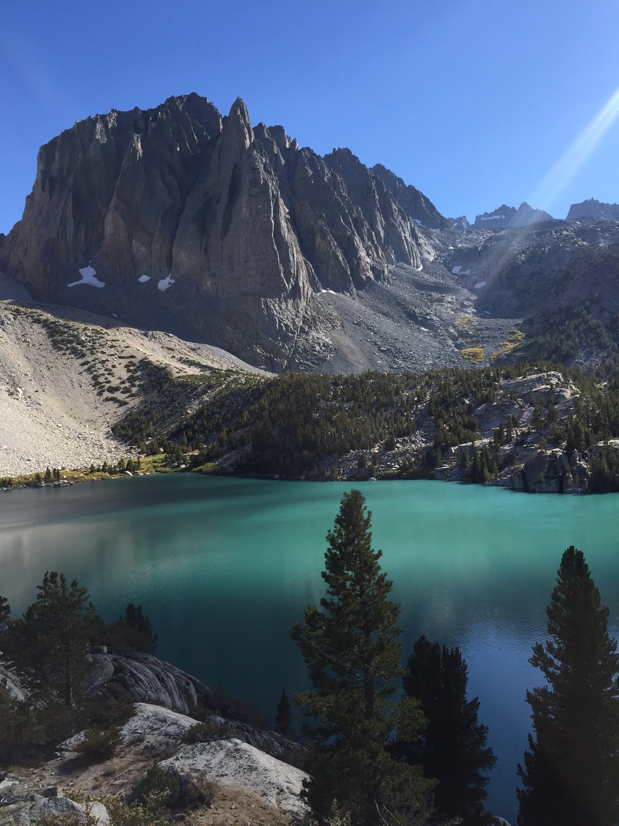
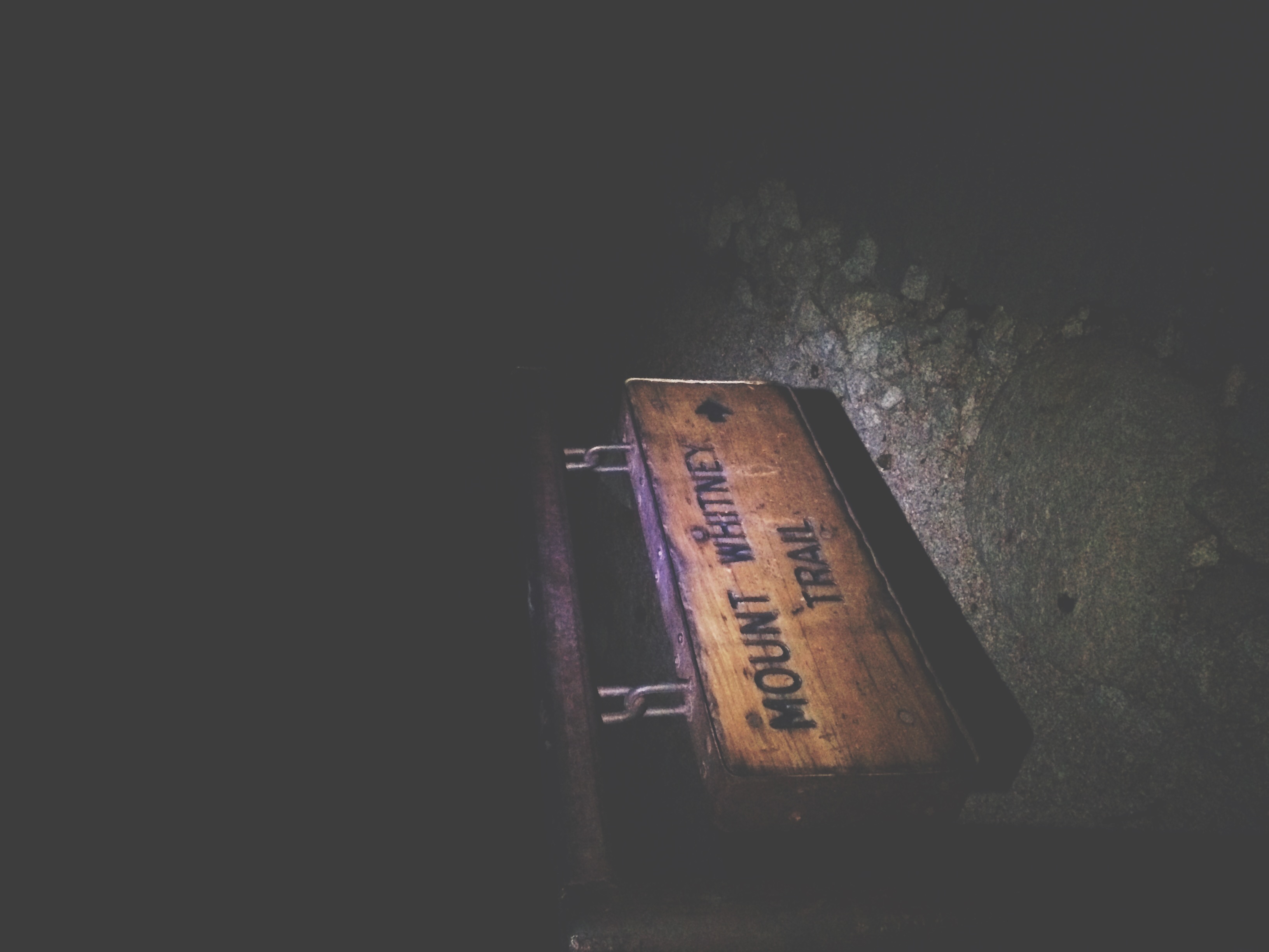
The idea seemed simple: dayhike up the highest mountain in the contiguous US. But let's break that sentence down.

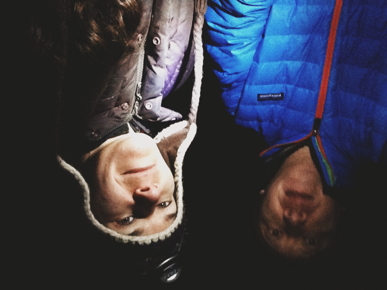
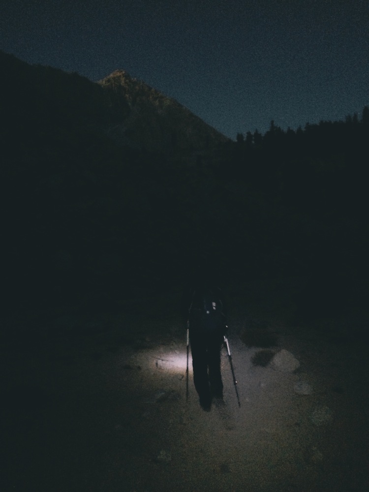
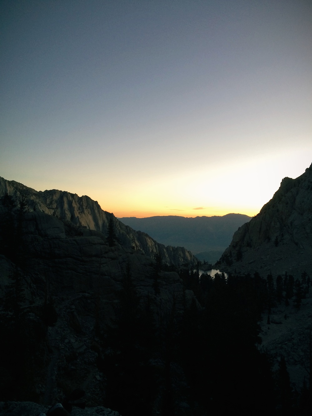
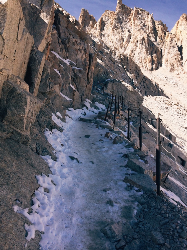
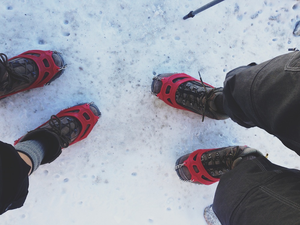
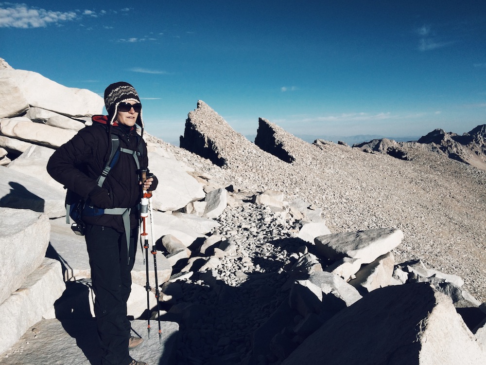
"dayhike" = hike 22+ miles in one day, starting and ending in the dark

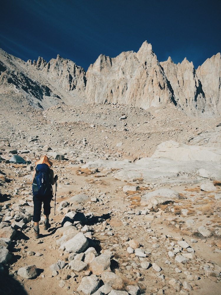
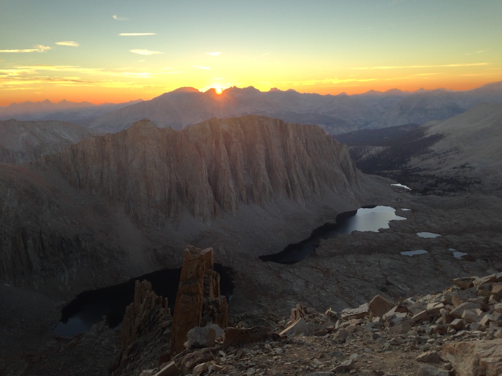
"up" = starting at 8,300 ft. and then climbing more than 6,000 ft.

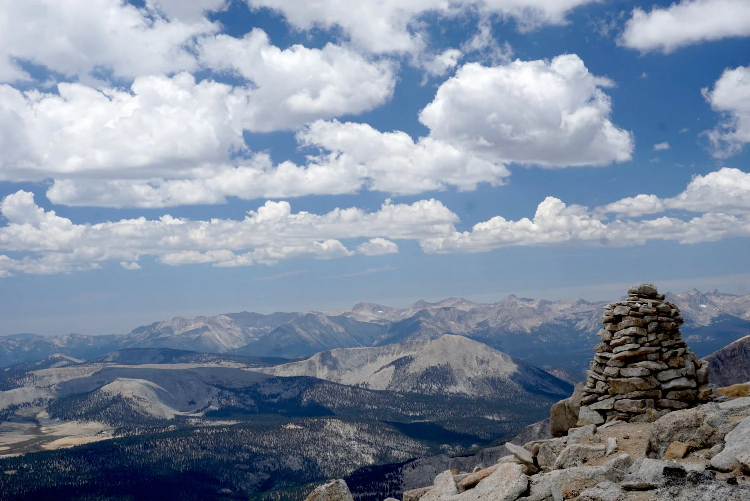
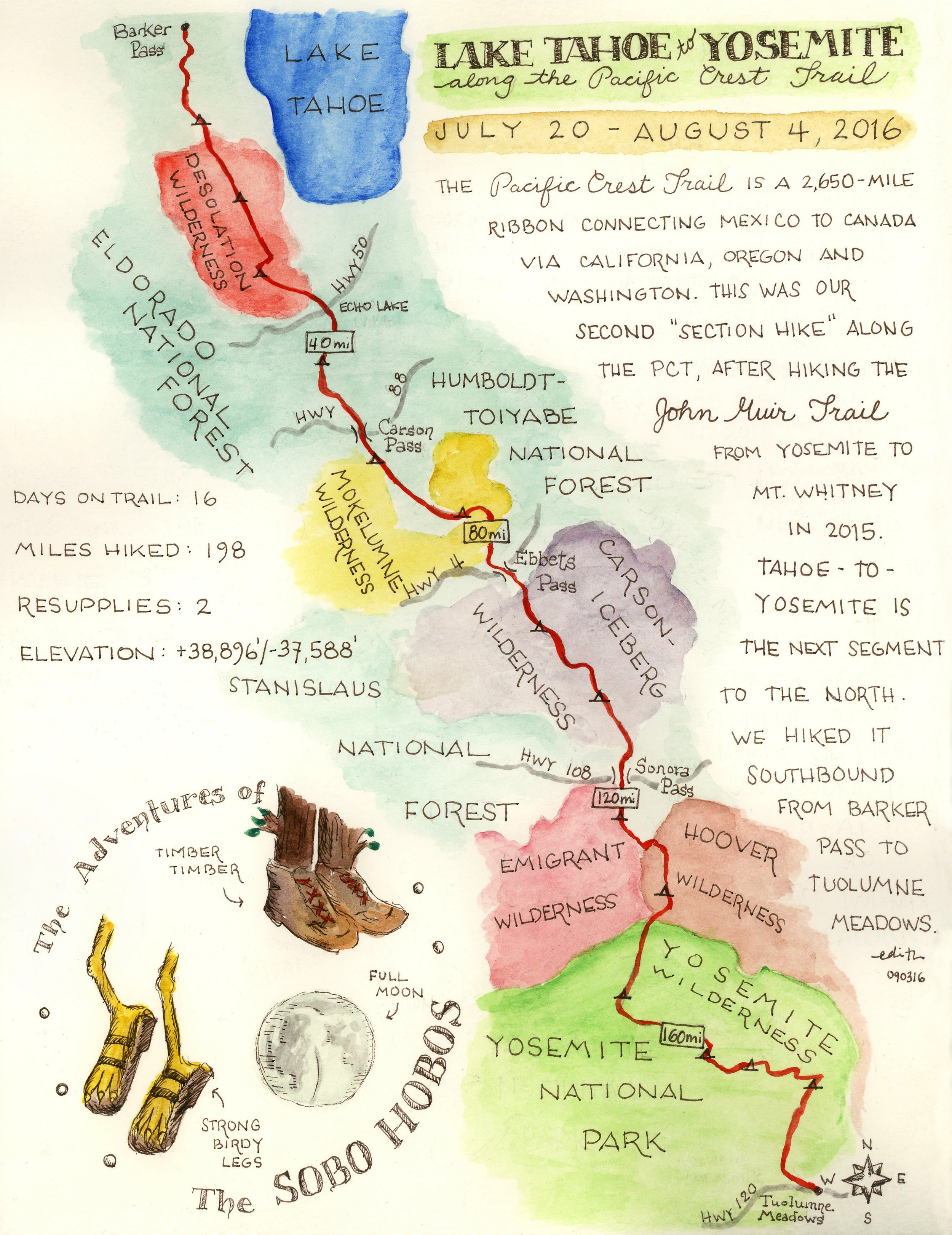
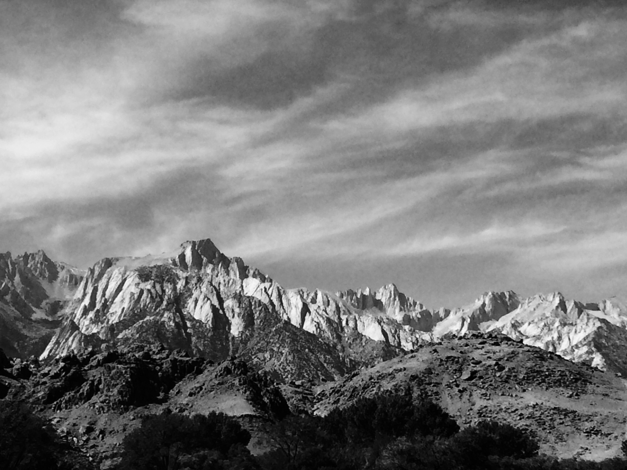
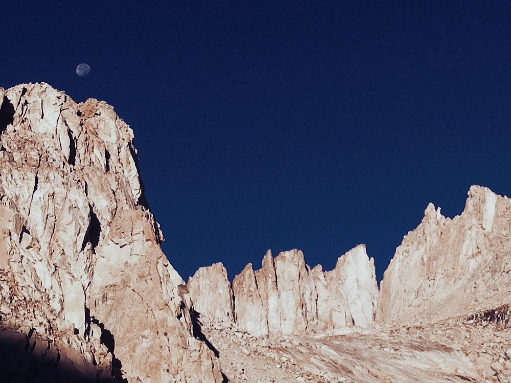
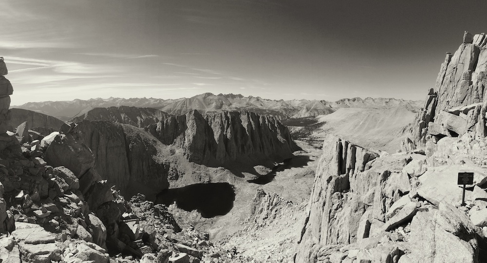
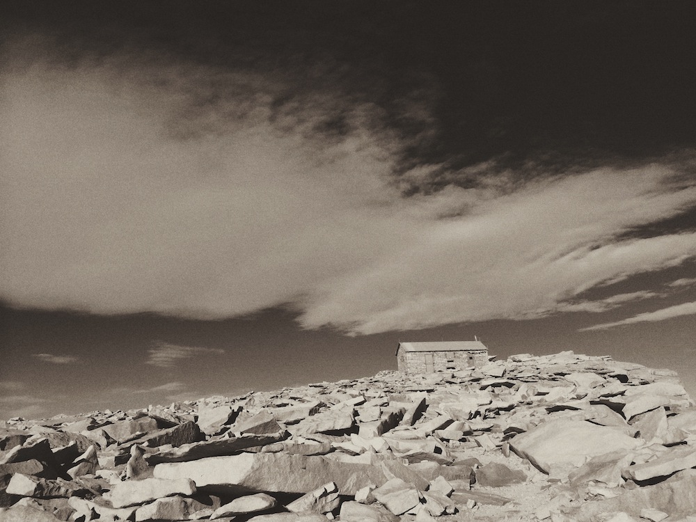
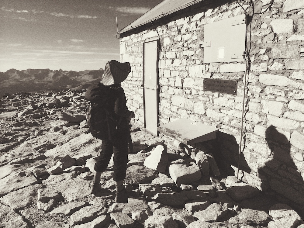
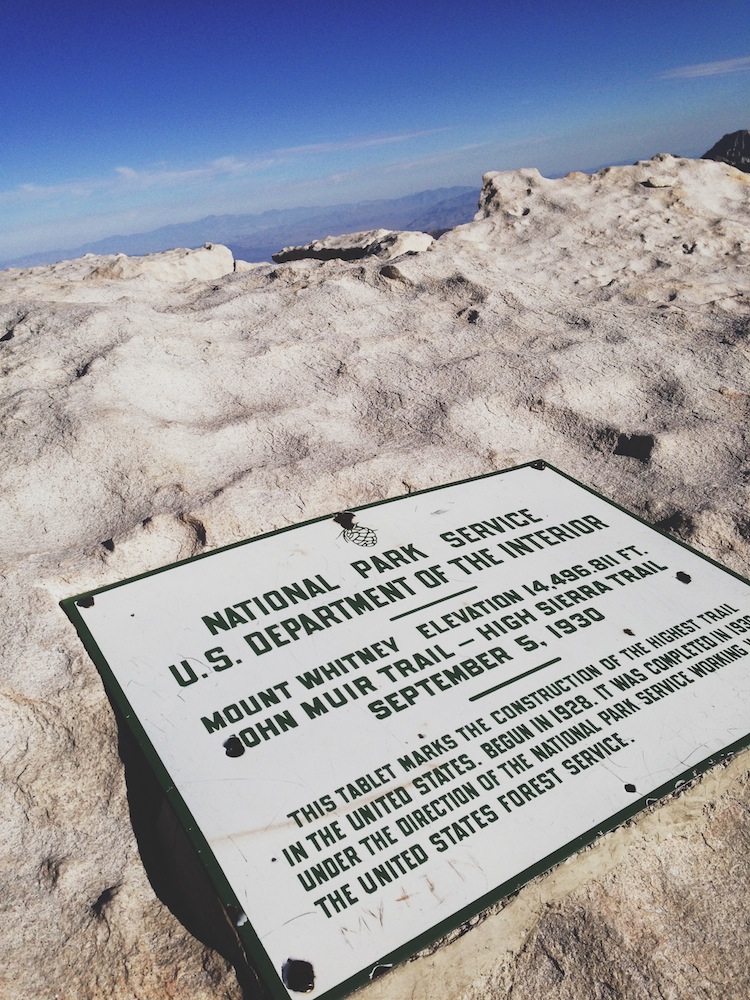
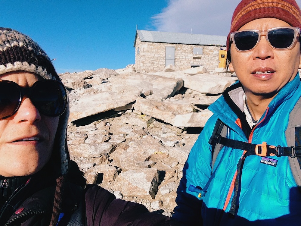
"the highest mountain in the contiguous US" = Mt. Whitney. At 14,508 ft., there is 43% less oxygen at the peak than at sea level, where we live.

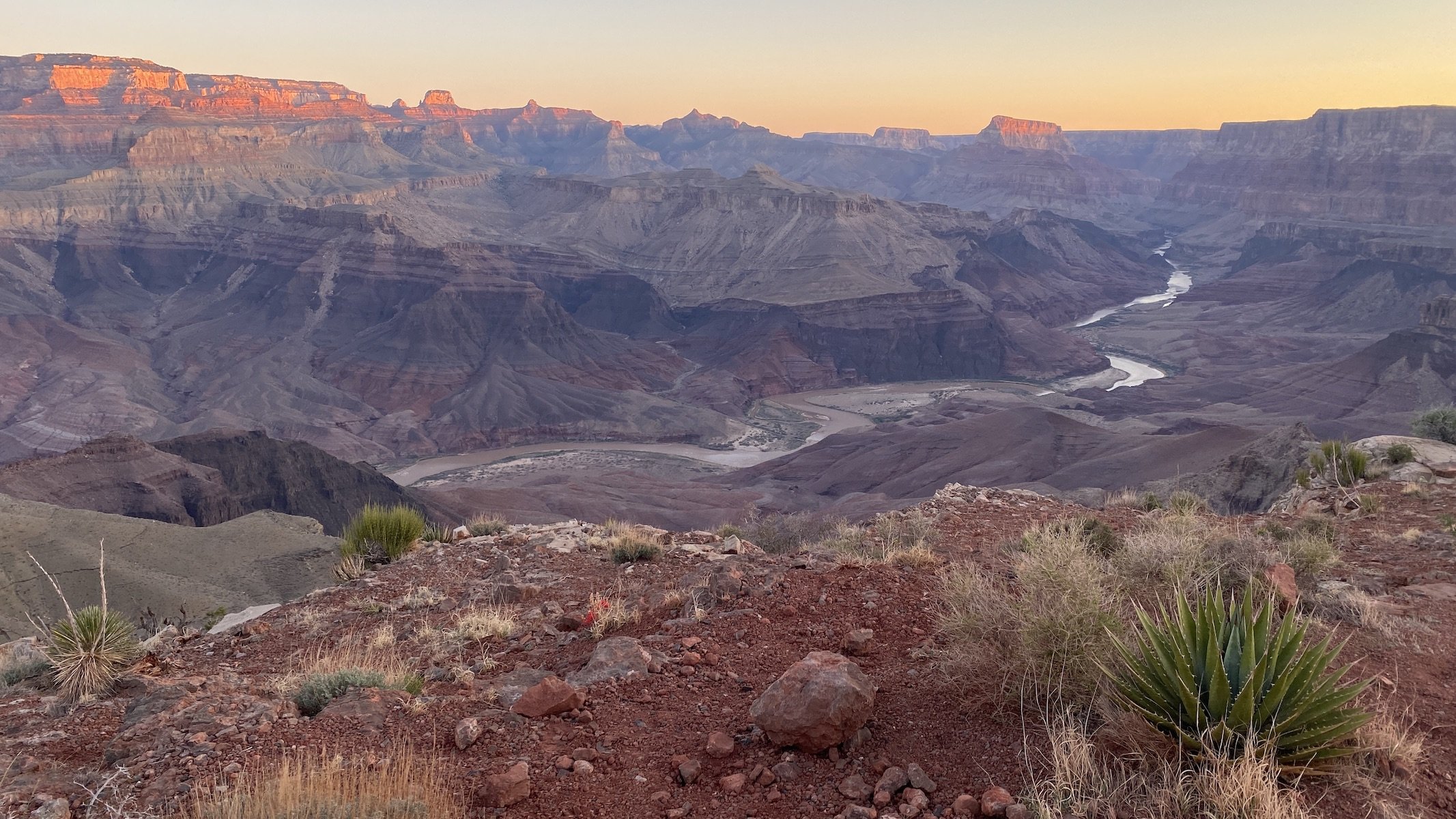
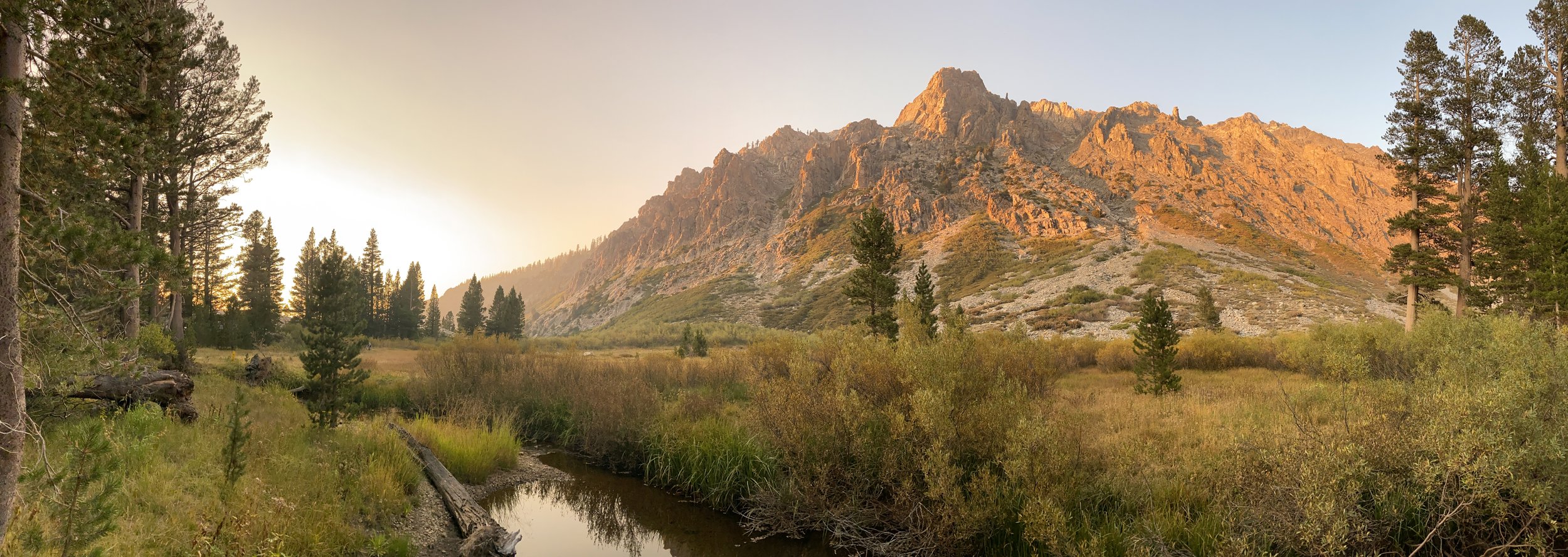
Needless to say, this is no place for buffalo to roam, or for deer or antelope to play. As a rule of thumb, I don't go where trees don't grow. Trees stop growing at about 11,000 ft., so after accompanying E+J on half their journey, I bid them adieu and waited for their return. And I waited. And waited.

E's travelogue below tells the story of what happened next.

 Mt. Whitney as seen from the Interagency Visitor Center in Lone Pine, where hikers go to pick up their permits.

Mt. Whitney as seen from the Interagency Visitor Center in Lone Pine, where hikers go to pick up their permits.

 Starting hours before sunrise, we could only see a few feet in front of us.

Starting hours before sunrise, we could only see a few feet in front of us.

 We had no idea at this point that it would be more than 20 hours before our bodies would get to rest. But it was better that way.

We had no idea at this point that it would be more than 20 hours before our bodies would get to rest. But it was better that way.

 The moon was still high up in the sky as the first hints of sunlight began to illuminate the mountains.

The moon was still high up in the sky as the first hints of sunlight began to illuminate the mountains.

photo 1.JPG
 Sunrise over Owens Valley.

Sunrise over Owens Valley.

 Mount Whitney and its neighboring crags, with the setting moon.

Mount Whitney and its neighboring crags, with the setting moon.

 Just before the 99 switchback began.

Just before the 99 switchback began.

 Snow and ice covered some shaded parts of the trail.

Snow and ice covered some shaded parts of the trail.

 ...but not to worry. We packed our trusty Microspikes.

...but not to worry. We packed our trusty Microspikes.

 Upon reaching Trail Crest, Sequoia National Park and its many lakes and peaks become visible. It's a stunning view.

Upon reaching Trail Crest, Sequoia National Park and its many lakes and peaks become visible. It's a stunning view.

photo 4.JPG
 The summit. The only thing other than rock is the lightning shelter, built in 1909. We arrived so late in the day there was no one else there.

The summit. The only thing other than rock is the lightning shelter, built in 1909. We arrived so late in the day there was no one else there.

 The registry in front of the shelter.

The registry in front of the shelter.

 The sum total of the comments we could muster for the register: "Holy shit!"

The sum total of the comments we could muster for the register: "Holy shit!"

 We had arrived at the highest trail, and the highest point, in the US.

We had arrived at the highest trail, and the highest point, in the US.

 "Let's take this photo already and get it over with. We've got 11.5 miles to still hike."

"Let's take this photo already and get it over with. We've got 11.5 miles to still hike."

 As the sun set, we were elated to have summited. The adrenaline was pumping and we were headed to lower elevation...a cause to celebrate.

As the sun set, we were elated to have summited. The adrenaline was pumping and we were headed to lower elevation...a cause to celebrate.

 Behind E are the famous crags that neighbor Mount Whitney -- Keeler Needle and Crooks Peak.

Behind E are the famous crags that neighbor Mount Whitney -- Keeler Needle and Crooks Peak.

 Sunset over Sequoia National Park.

Sunset over Sequoia National Park.

 Mt. Whitney as seen from the Interagency Visitor Center in Lone Pine, where hikers go to pick up their permits.  Starting hours before sunrise, we could only see a few feet in front of us.  We had no idea at this point that it would be more than 20 hours before our bodies would get to rest. But it was better that way.  The moon was still high up in the sky as the first hints of sunlight began to illuminate the mountains. photo 1.JPG  Sunrise over Owens Valley.  Mount Whitney and its neighboring crags, with the setting moon.  Just before the 99 switchback began.  Snow and ice covered some shaded parts of the trail.  ...but not to worry. We packed our trusty Microspikes.  Upon reaching Trail Crest, Sequoia National Park and its many lakes and peaks become visible. It's a stunning view. photo 4.JPG  The summit. The only thing other than rock is the lightning shelter, built in 1909. We arrived so late in the day there was no one else there.  The registry in front of the shelter.  The sum total of the comments we could muster for the register: "Holy shit!"  We had arrived at the highest trail, and the highest point, in the US.  "Let's take this photo already and get it over with. We've got 11.5 miles to still hike."  As the sun set, we were elated to have summited. The adrenaline was pumping and we were headed to lower elevation...a cause to celebrate.  Behind E are the famous crags that neighbor Mount Whitney -- Keeler Needle and Crooks Peak.  Sunset over Sequoia National Park.

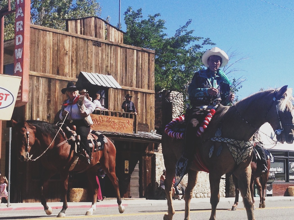
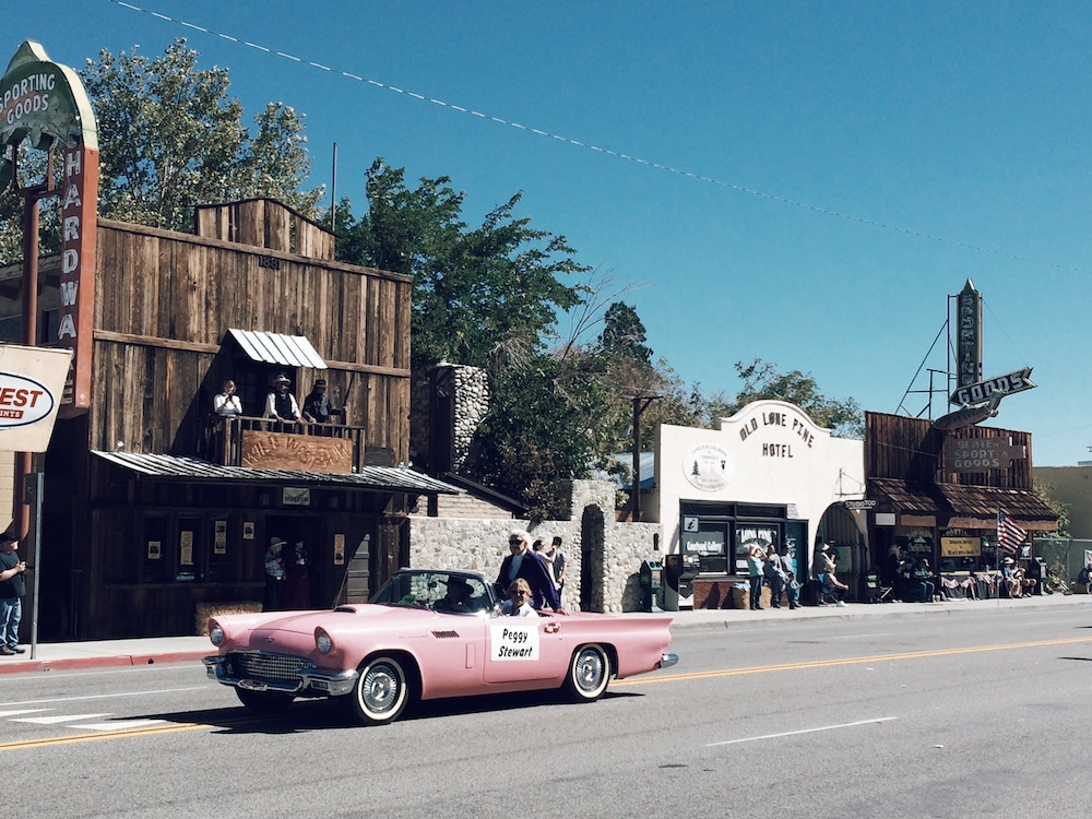
The morning following the hike, E+J broke down camp and headed down to Lone Pine for breakfast at the Alabama Hills Cafe while I snacked on local foothill vegetation. Lone Pine is one of the Owens Valley's four main towns, and with its Wild West topography, provided the background for many Westerns. It just so happened that we found ourselves descending the mountain as the 25th annual Lone Pine Film Festival parade took over Highway 395. Residents and tourists lined both sides of the street, sitting on hay bales and camping chairs, cheering on Western movie stars as they passed in classic convertibles and on horses.

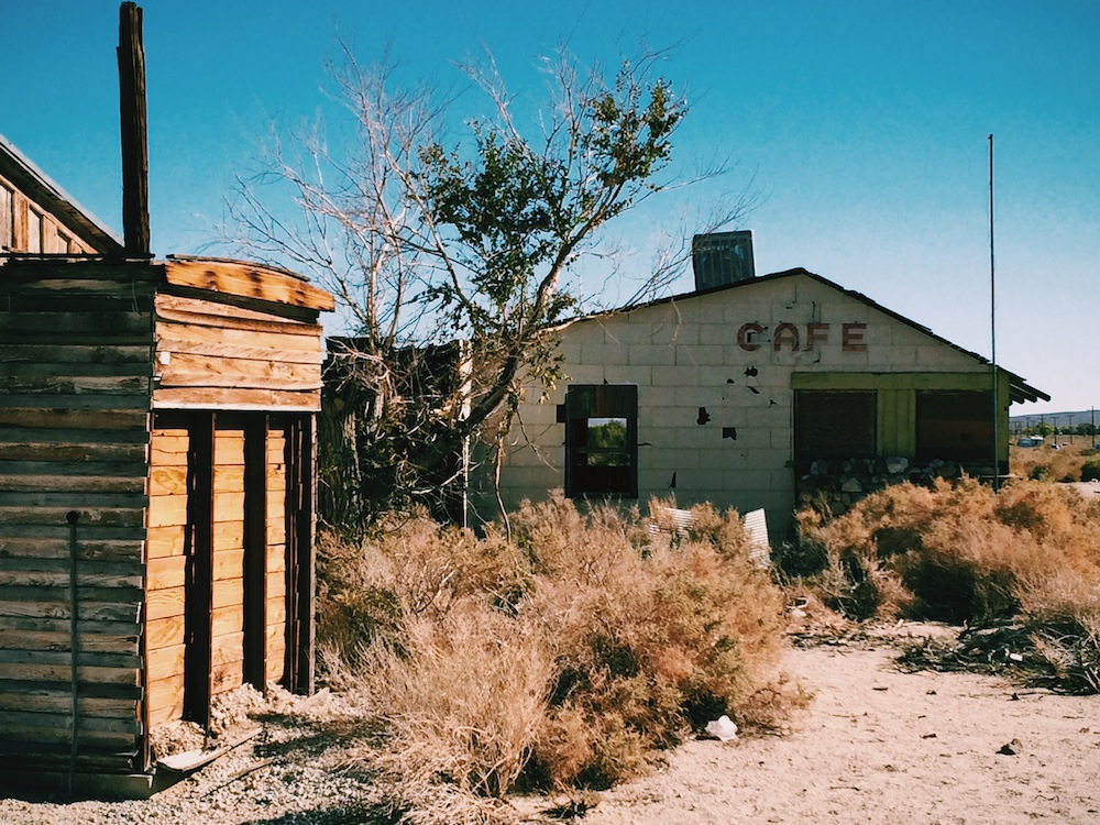
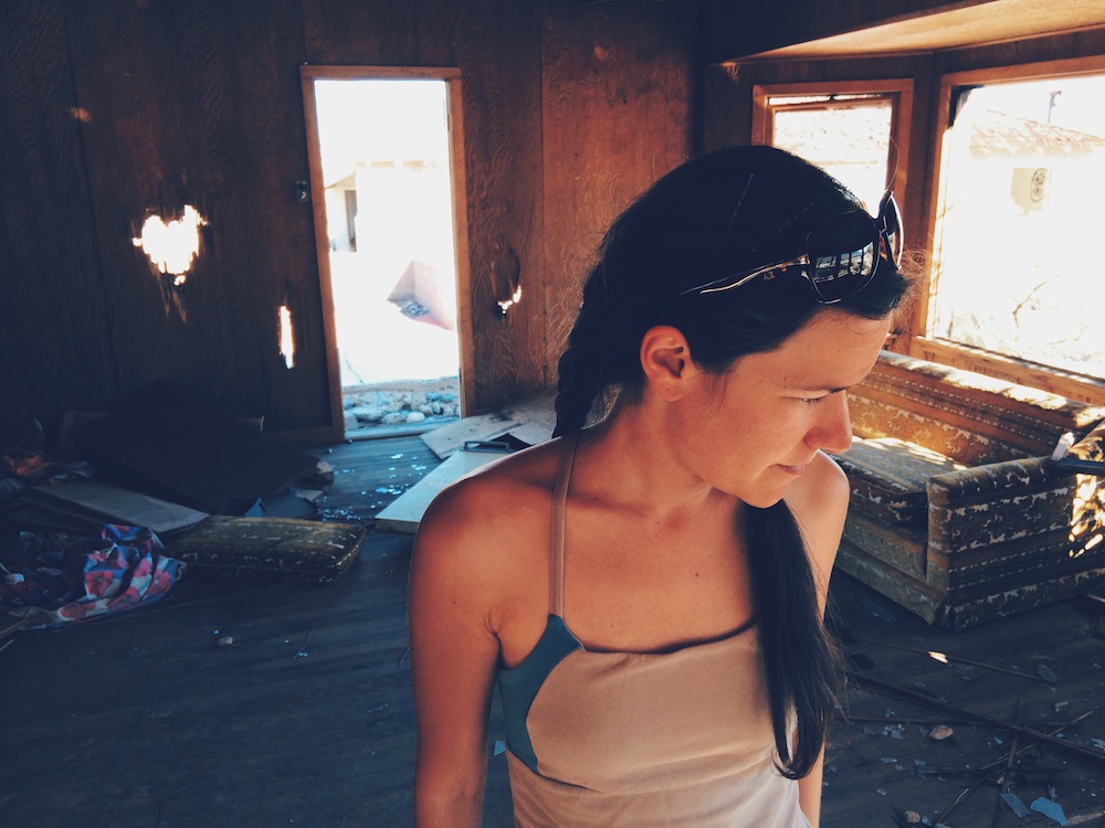
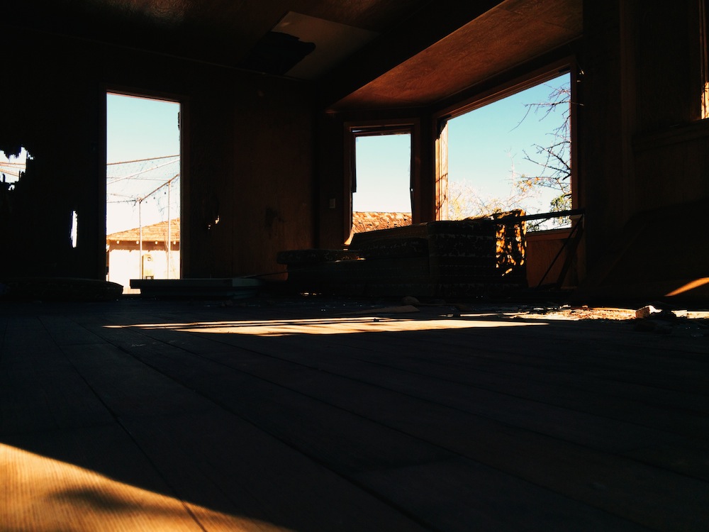
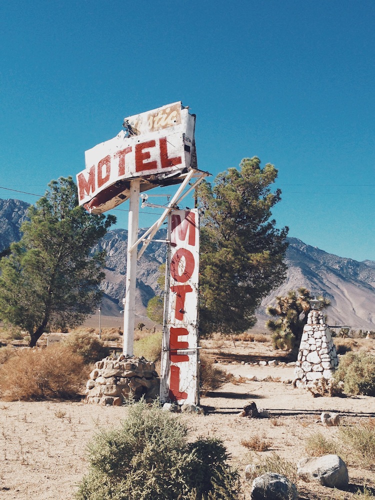
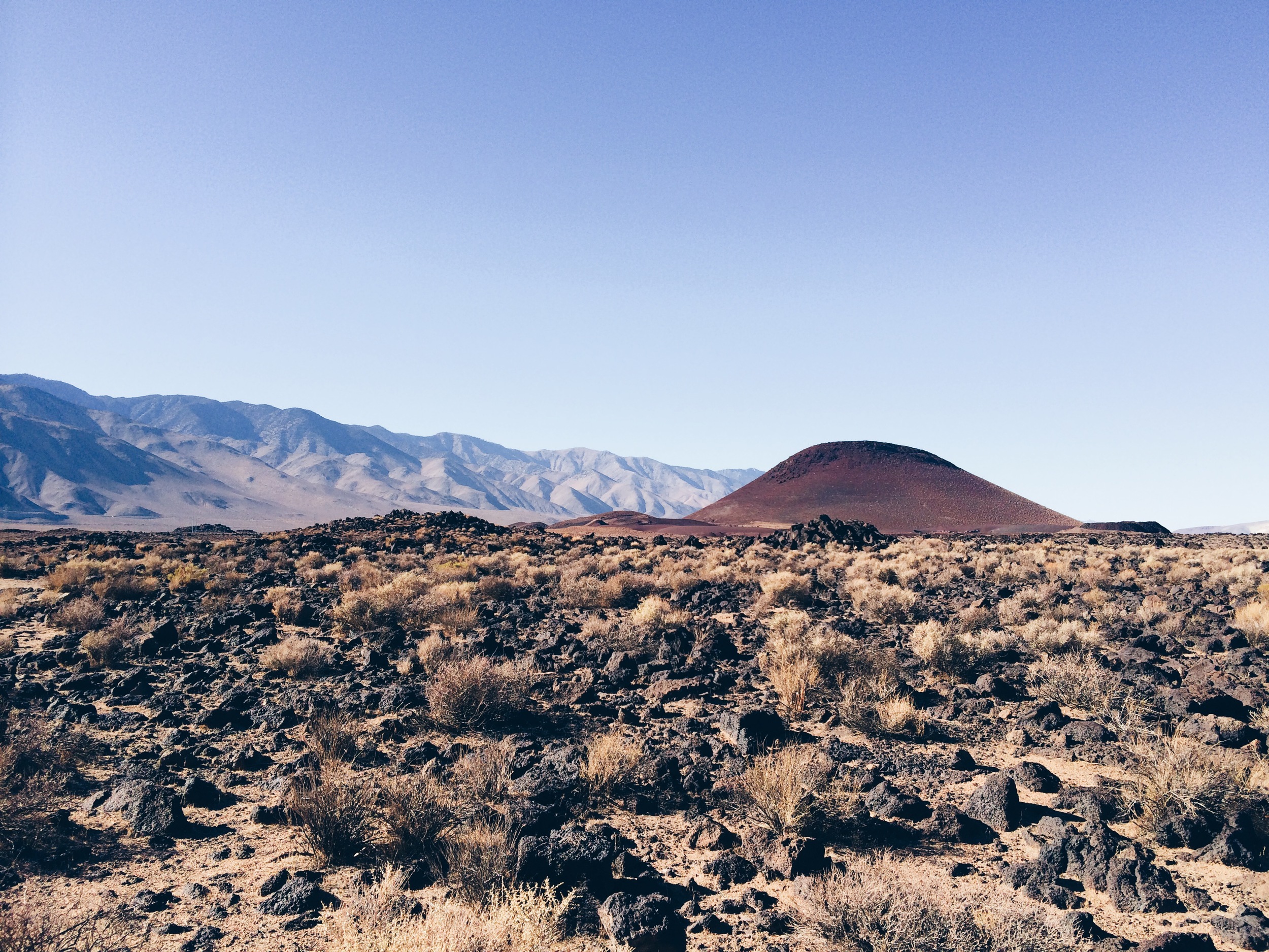
On the drive back home, we stopped to check out a few of the abandoned buildings that litter Highway 395. We also stopped to visit Fossil Falls, which is neither fall nor fossil, but rather a unique geologic formation created when glacial waters were diverted over volcanic basalt flow, shaping and polishing the rocks.

 The Lone Pine Film Festival parade, down the middle of Highway 395.

The Lone Pine Film Festival parade, down the middle of Highway 395.

photo 2.JPG
 One of the many abandoned buildings along Highway 395.

One of the many abandoned buildings along Highway 395.

photo 4.JPG
photo 1.JPG
photo 2.JPG
 Red Hill, near Fossil Falls.

Red Hill, near Fossil Falls.

 The trail to Fossil Falls geologic formation.

The trail to Fossil Falls geologic formation.

 The Lone Pine Film Festival parade, down the middle of Highway 395. photo 2.JPG  One of the many abandoned buildings along Highway 395. photo 4.JPG photo 1.JPG photo 2.JPG  Red Hill, near Fossil Falls.  The trail to Fossil Falls geologic formation.
In Travel Tags Mount Whitney, Eastern Sierra, Hiking, California, Peakbagging, 14ers, hooves on the ground, Lone Pine, Fossil Falls, Highway 395, Owens Valley, hiking, trip report, itinerary
← For the BirdsHooves on the Ground: San Gorgonio Mountain →
Dear Antlerby Jedediah Cornelius Antler"The buck stops here."The advice and musings of the swankiest eight-point buck you'll ever meet.

Dear Antler

by Jedediah Cornelius Antler

"The buck stops here."

The advice and musings of the swankiest eight-point buck you'll ever meet.


See all art posts

See all travel posts

Subscribe

 Be a true "Jedhead" and sign up for our mailing list here. 

We respect your privacy. Truly

Jed says thank you!


blog
Hooves on the Ground: Onion Valley to Sixty Lake Basin and Col
about 9 months ago
Hooves on the Ground: Grand Canyon's Clear Creek Trail and Cheyava Falls
about a year ago
Hooves on the Ground: Miter Basin
about a year ago
Hooves on the Ground: Tyee/Midnight/Hungry Packer Lakes, John Muir Wilderness
about a year ago
Hooves on the Ground: Yosemite's Murphy Creek to Tuolumne Crest in the early season
about a year ago
Hooves on the Ground: Grand Canyon's Tanner Trail and Escalante Route
about 2 years ago
Hooves on the Ground: Mineral King Loop via Timber Gap and Lost Canyon
about 2 years ago
Hooves on the Ground: Darwin, Evolution, and Piute Canyons via Lamarck Col and Piute Pass
about 3 years ago
Hooves on the Ground: Thousand Island Lake via Rush Creek
about 3 years ago
Hooves on the Ground: Grand Canyon's Hermit-Boucher Loop
about 4 years ago
Elements of Existence
about 4 years ago
Spellbound | Wanderings Through the Witching Hour
about 4 years ago
Hooves on the Ground: Yosemite's Grand Canyon of the Tuolumne and Old Big Oak Flat Road to El Capitan
about 4 years ago
Psyche | Introspections In an Era of Uncertainty
about 4 years ago
Hooves on the Ground: Death Valley Albatross Plane Crash Site
about 5 years ago
Hooves on the Ground: High Sierra Trail
about 5 years ago
Suspension
about 6 years ago
Hooves on the Ground: Nepal
about 6 years ago
Hooves on the Ground: Cottonwood Pass and Lakes Loop (Miter Basin and Mt. Langley)
about 6 years ago
The Troubles We Carry
about 7 years ago

© dearantler 2013-2024. All rights reserved.