


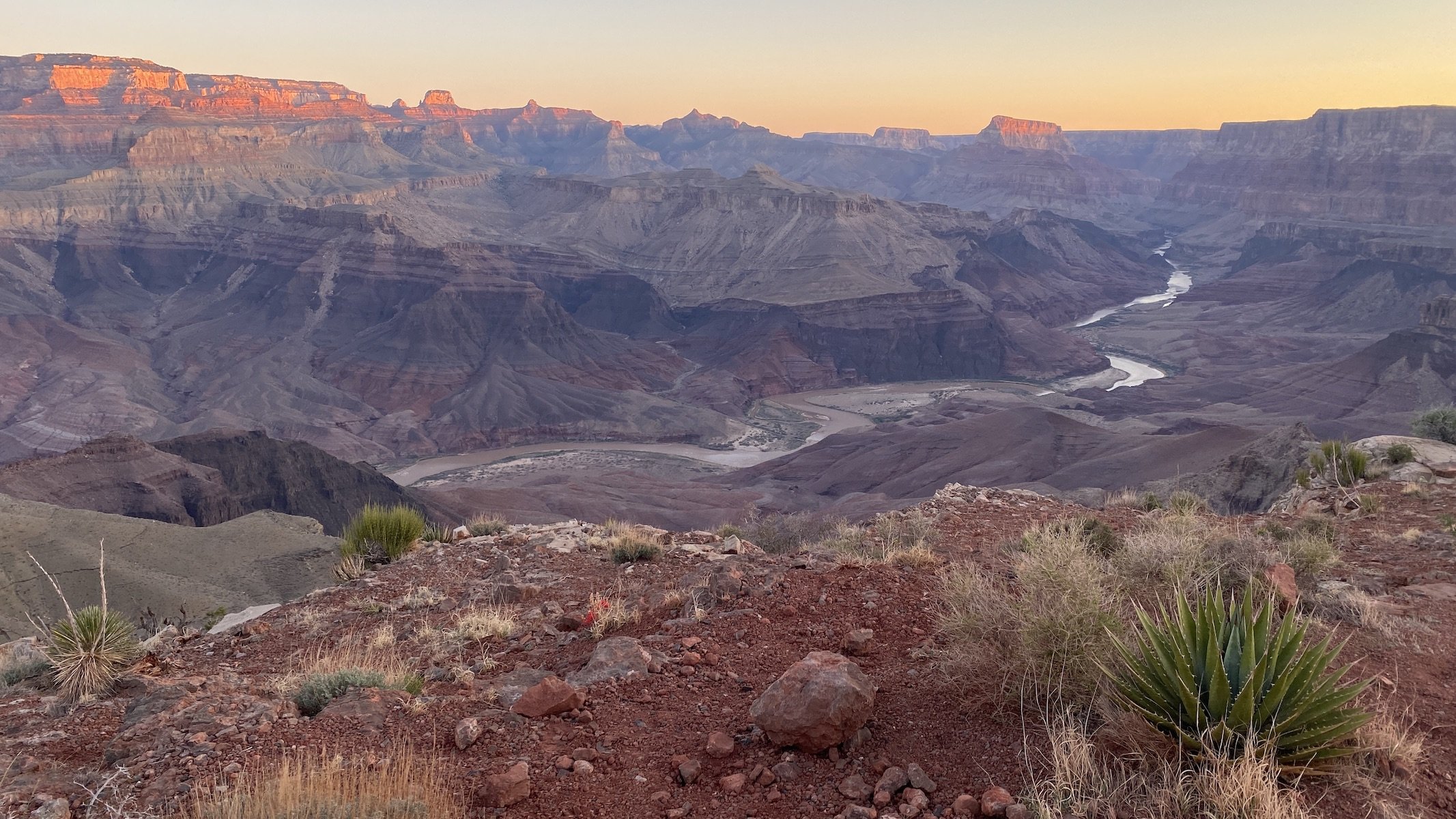


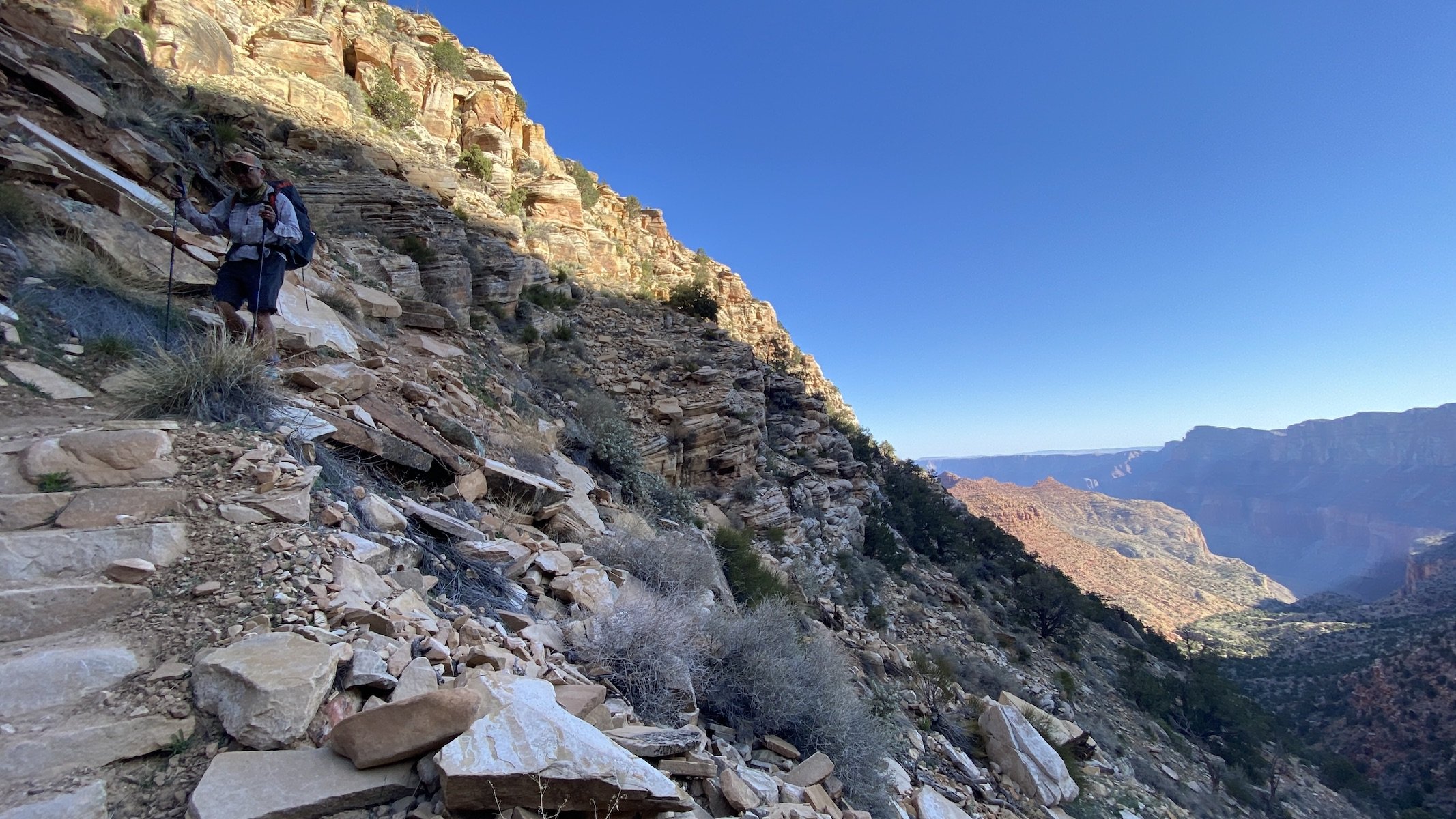
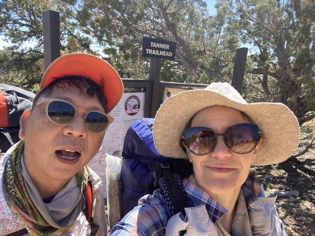
On our eighth trip backpacking into Grand Canyon we were treated to some of best views of a meandering Colorado River that we had ever seen. We started at Lipan Point in the eastern part of the park, descending the Tanner Trail toward the Colorado River over 9 beautiful, sometimes challenging miles. This is a fairly demanding (and largely unmaintained) trail, with several rock slides and steeply eroded sections to negotiate. But it is also a trail that affords a front seat to an ever-changing panorama that goes from narrow and intimate to wide open and majestic.
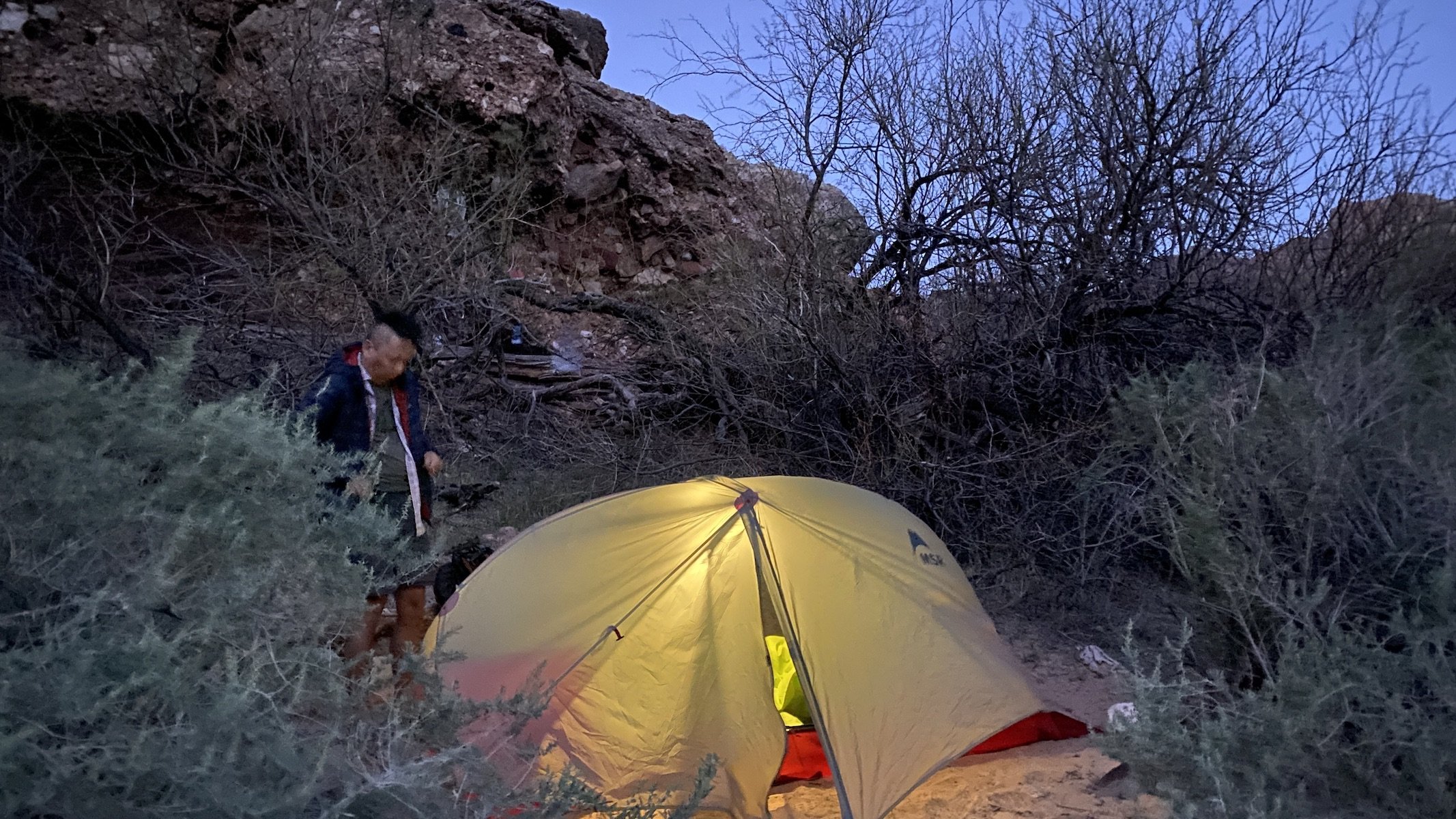
Once down at the river, at Tanner Beach we snagged a coveted campsite beneath overhanging rocks, a spot which offers the only real shade anywhere in the area. We spent the afternoon exploring the beach, watching rafters navigate the rapids, napping, and dealing with water treatment. Water treatment was more of a challenge on this trip than on past Grand Canyon excursions, due both to our proximity to the Little Colorado River and to a recent heat wave that had melted much of the snow higher up in the watershed.
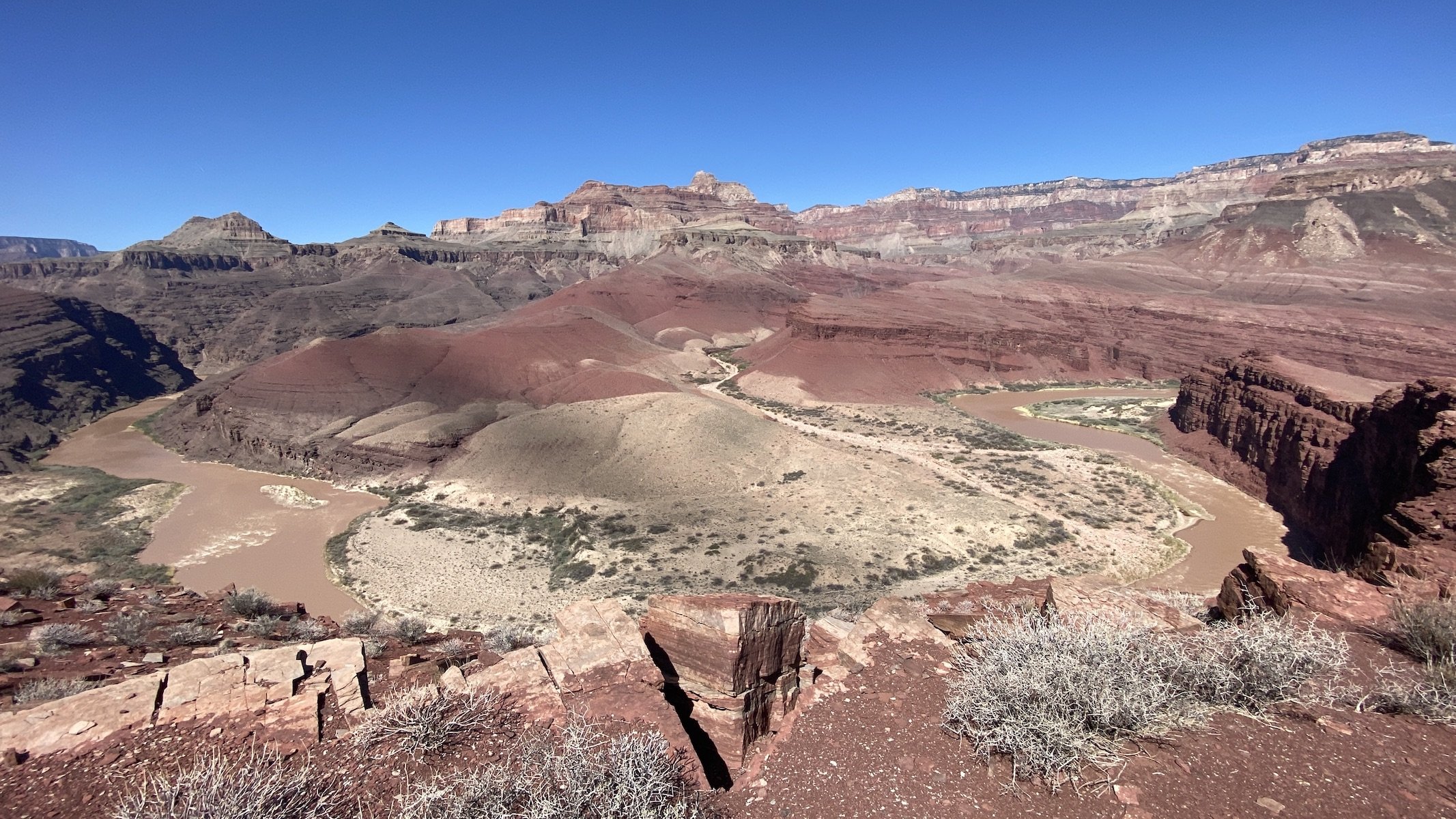
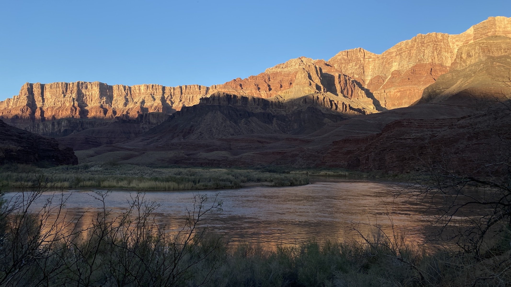
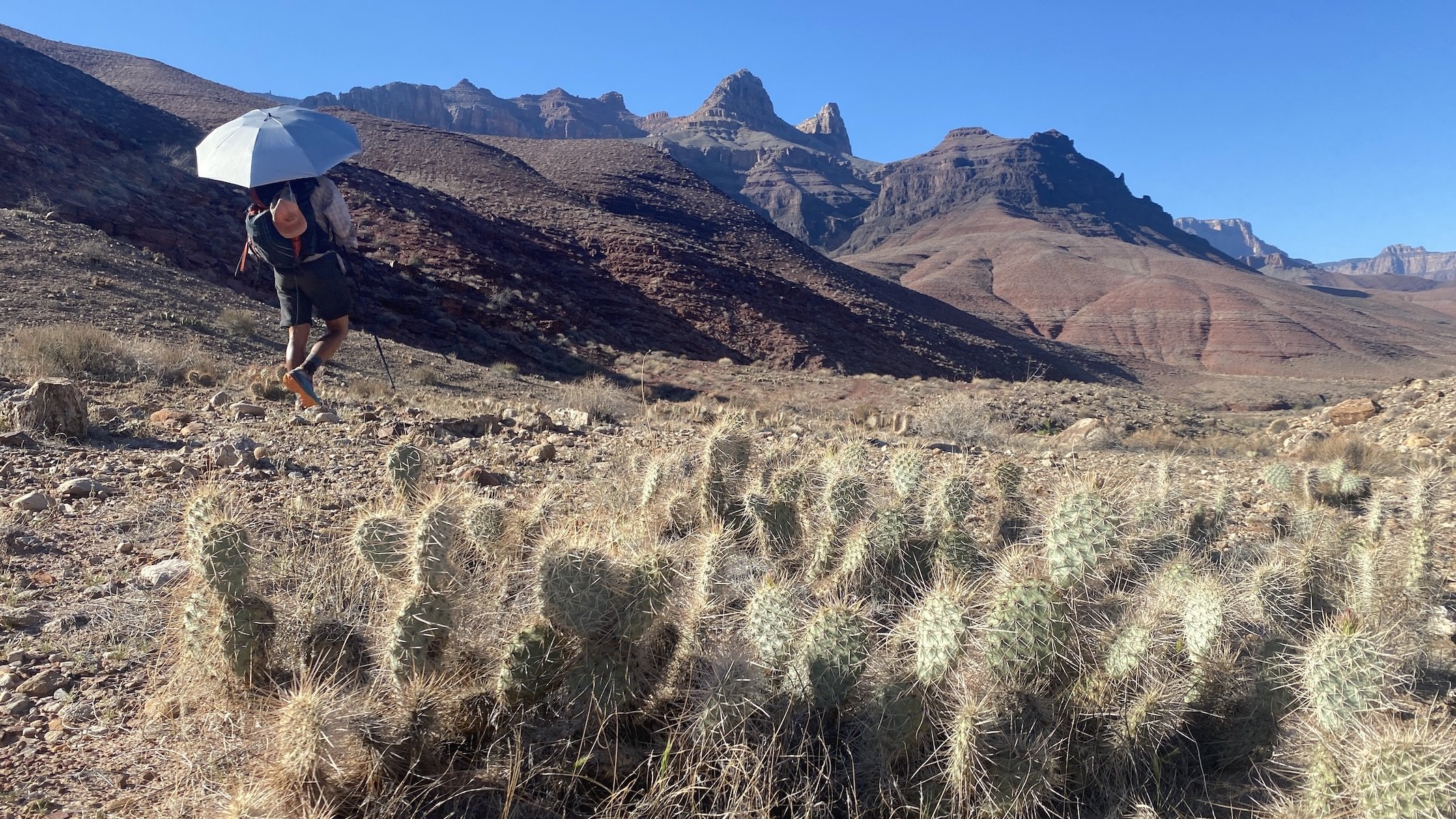
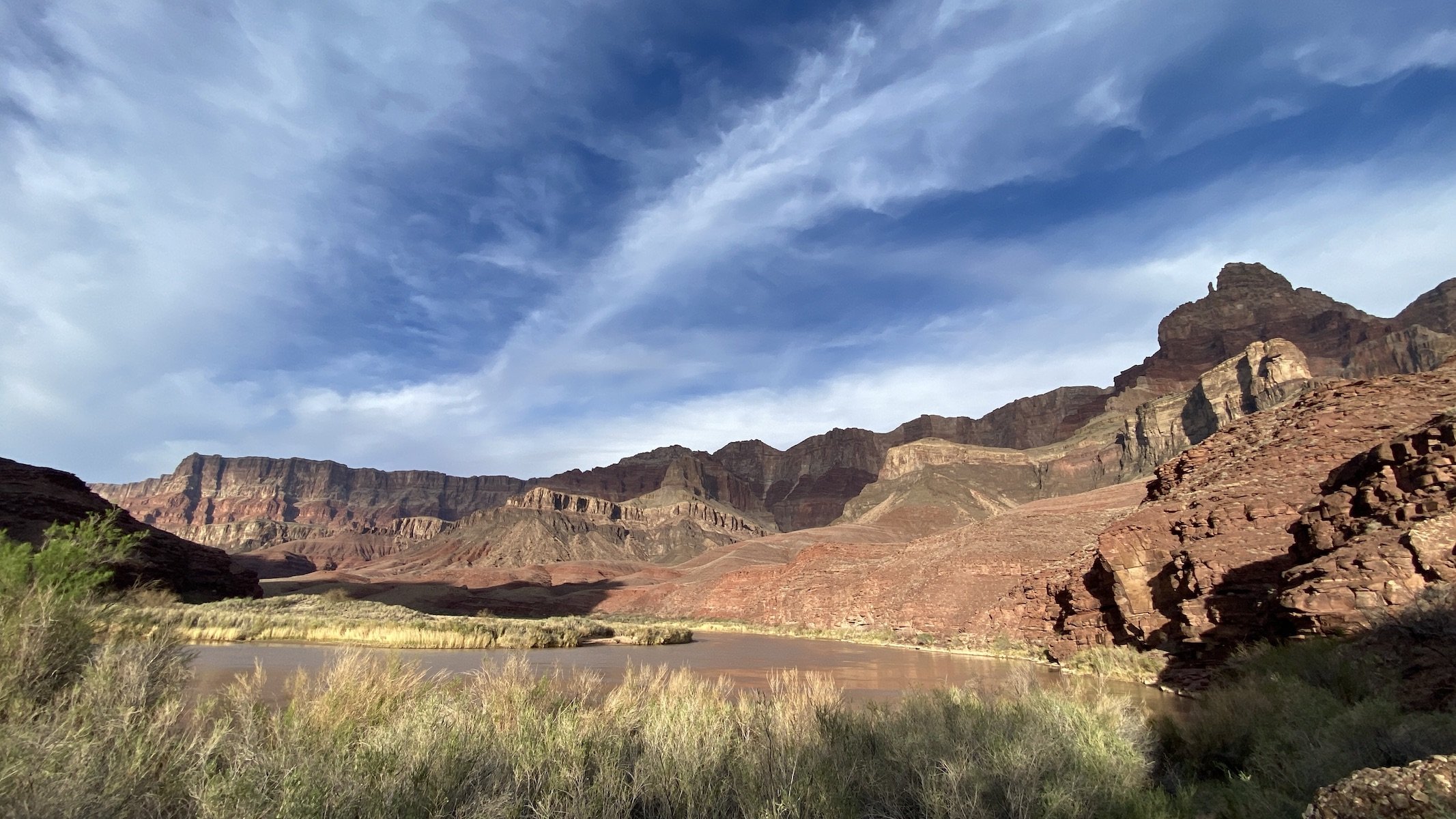
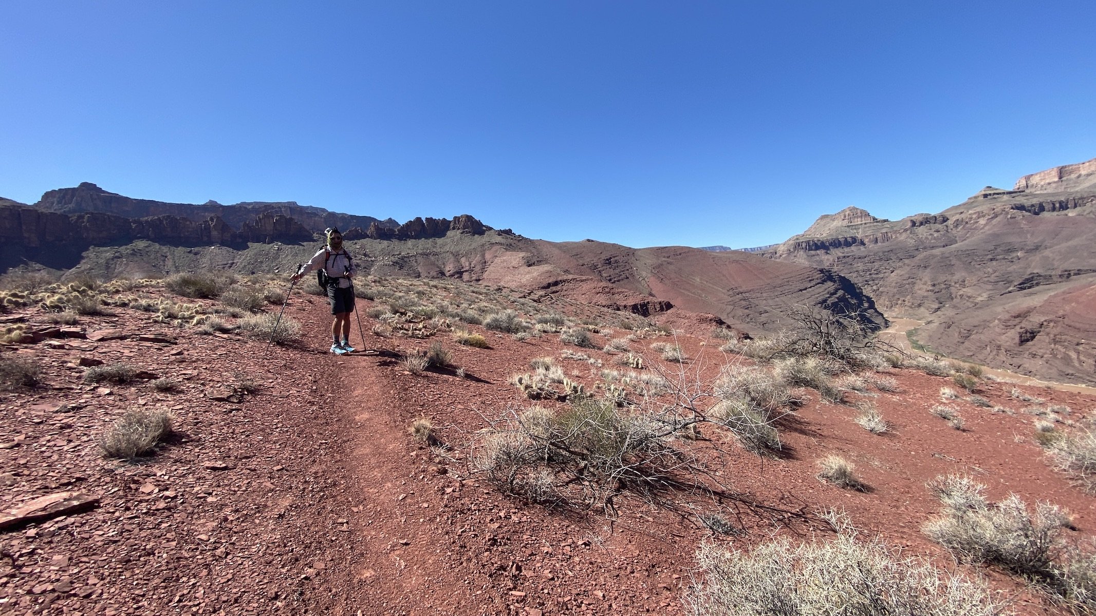
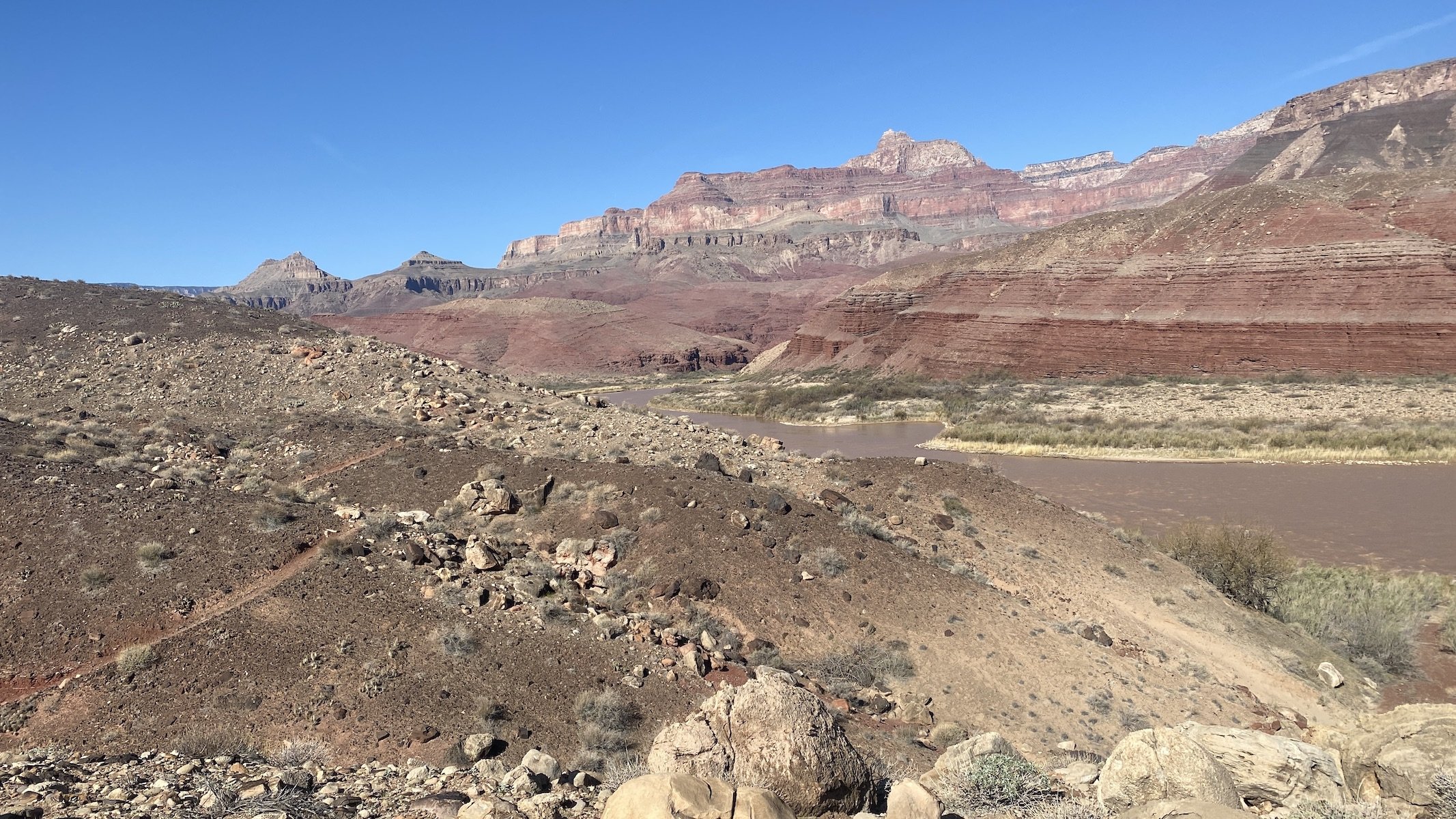
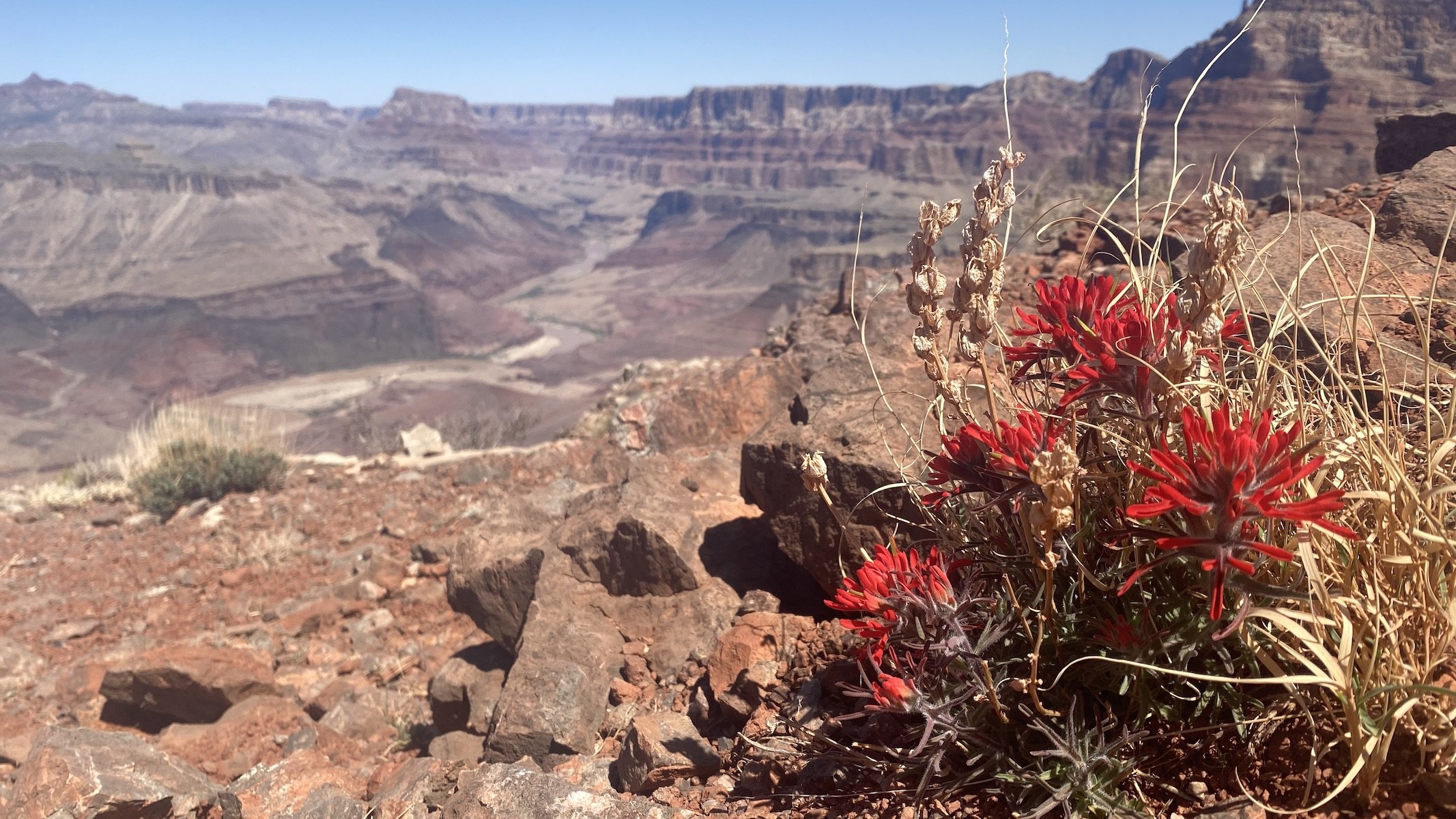
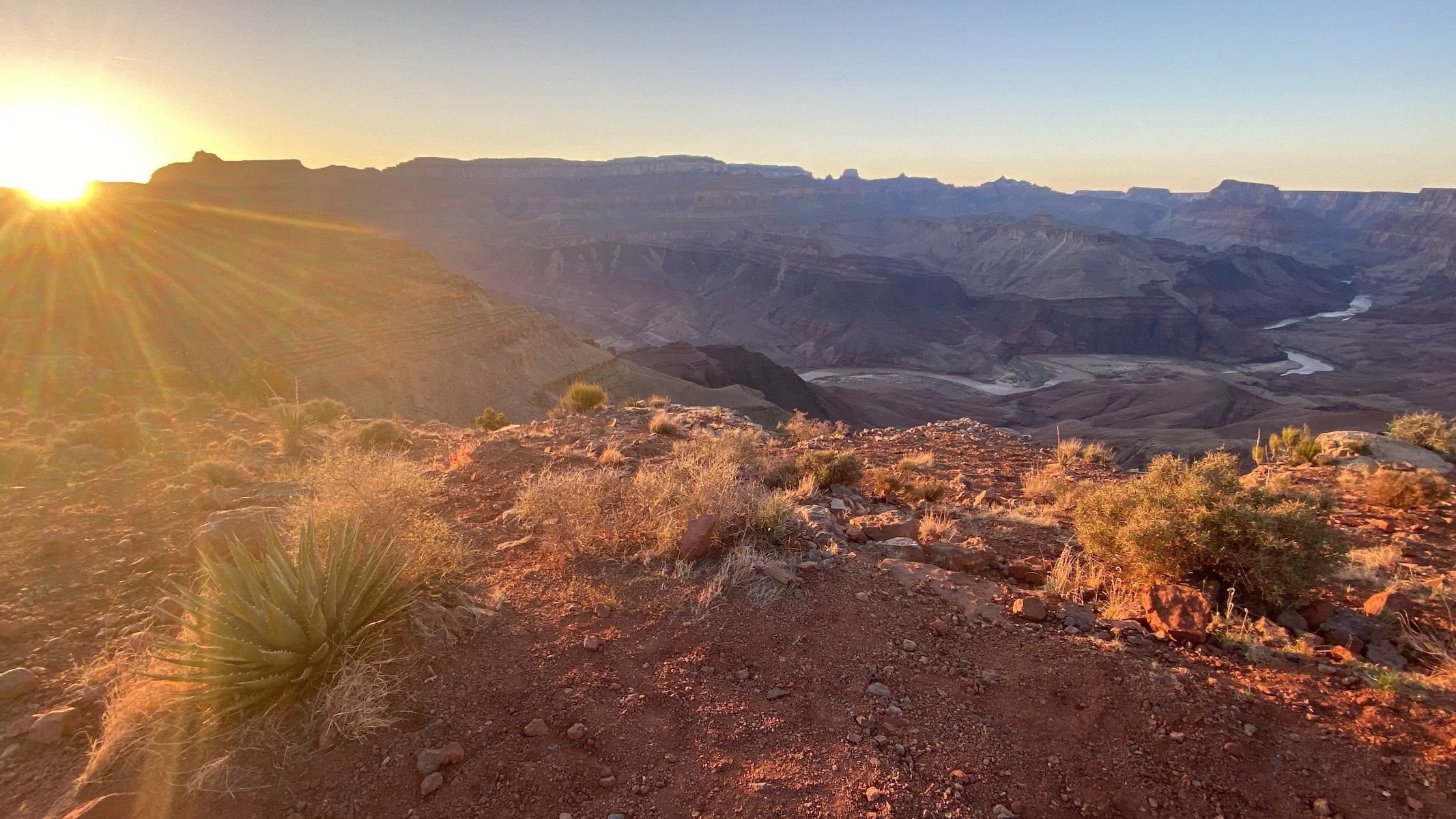

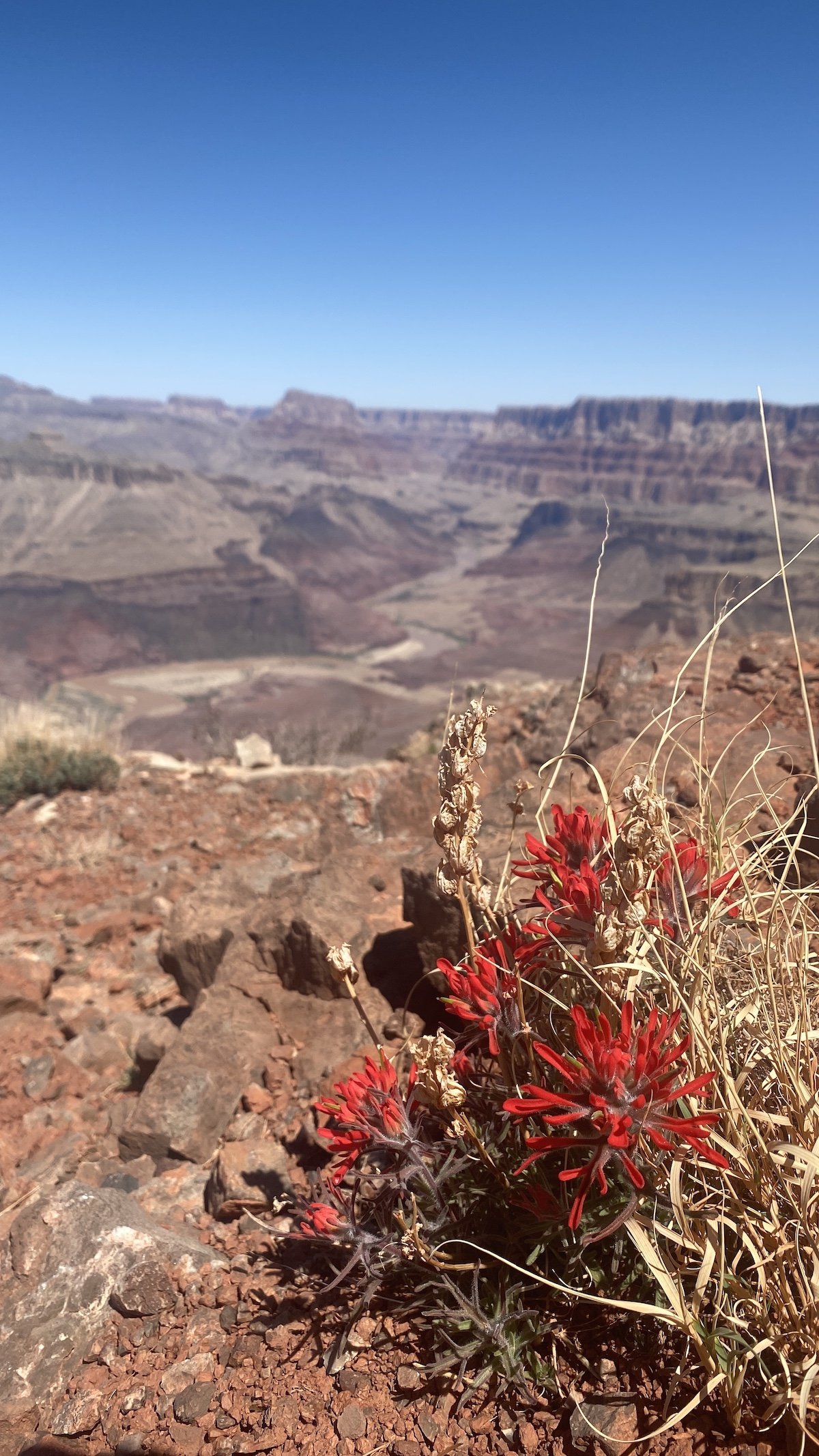
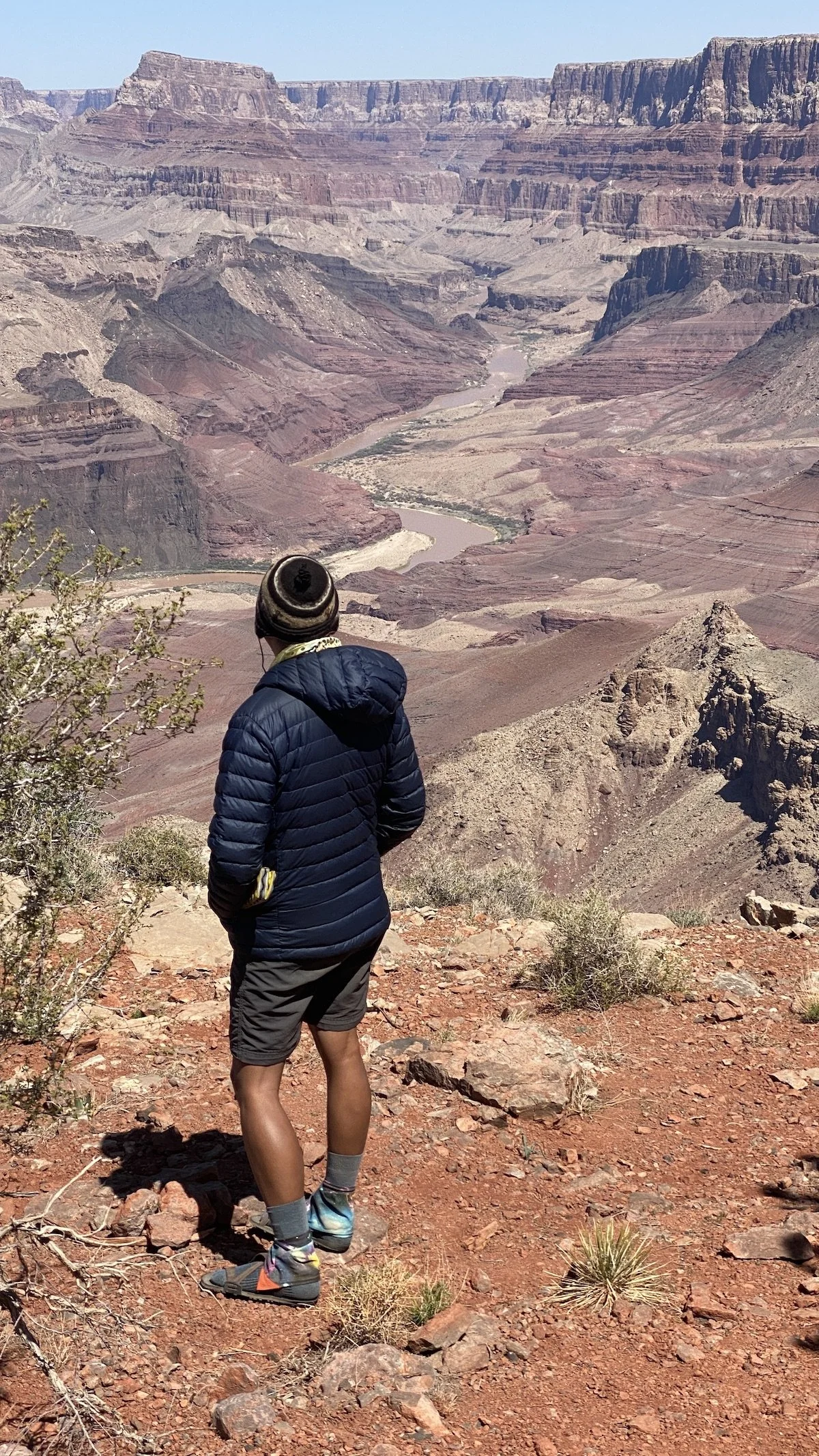
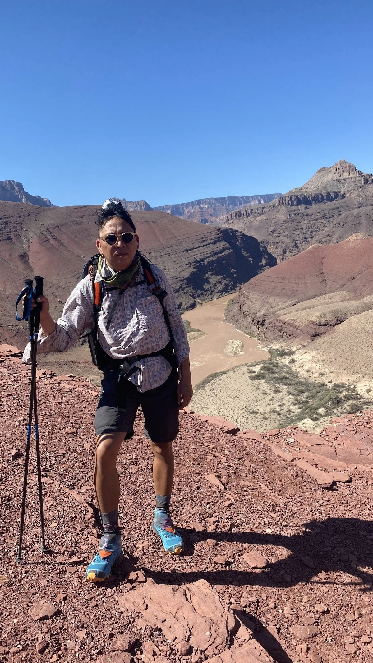
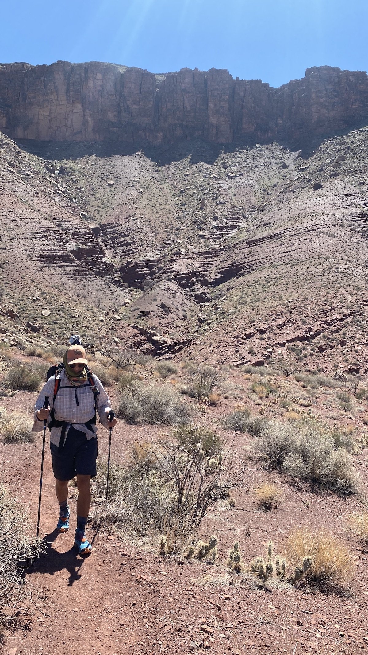
Day two led us away from our original plan to hike eastward along the Beamer Trail to the confluence with the Little Colorado River. The height exposure along the Beamer was a bit too much, and we decided instead to hike westward, covering half of the Escalante Route — an unmaintained but mostly easy-to-follow path leading to beaches, rock gardens, drainages, slot canyons, and even an ancient ruin. It was quite warm and windy, but with the kaleidoscopic views of the river and canyon we really didn’t mind. We also thoroughly enjoyed getting to see the river a bit closer to its natural state, as rain and melting snow had filled it and its tributaries with sediment, making the waters flow a chocolatey brown.
-
The Colorado’s water was filled with sediment when we visited. Our usual reliance of Aquamira drops and/or using bottle-top filter like the Platypus Quickdraw wasn’t going to cut it this time. Here’s what we did.
1. Filled a collapsible Sea to Summit bucket with water.2. Diluted some alum powder per John Ladd’s detailed instructions, and mixed the solution into the bucket.
3. Let the sediment settle for at least 90 minutes.
4. Filtered the water through a Platypus GravityWorks filter.
The Colorado River (or Río Colorado) was named for its naturally reddish-brown color created by plentiful sediment flowing through a vast drainage, from snow-capped mountains to the Gulf of California — a destination it now rarely reaches. Among the most managed rivers in the world, much of the Colorado’s character has changed dramatically, especially since the Glen Canyon Dam was completed in 1966. Where it once flowed sepia, it now flows green most of the year — owing to most sediment getting trapped behind the 710-foot dam. Where its water temperature once varied from just above freezing in winter to 85°F in summer, it now stays around 48°F year-round, drastically changing habitat and ecology for the flora and fauna that call this river home. Where it once caused significant seasonal floods that replenished beaches, today flows are carefully controlled by engineers managing the water demands of an increasingly thirsty American West.
The Colorado River flowing along the Escalante Route
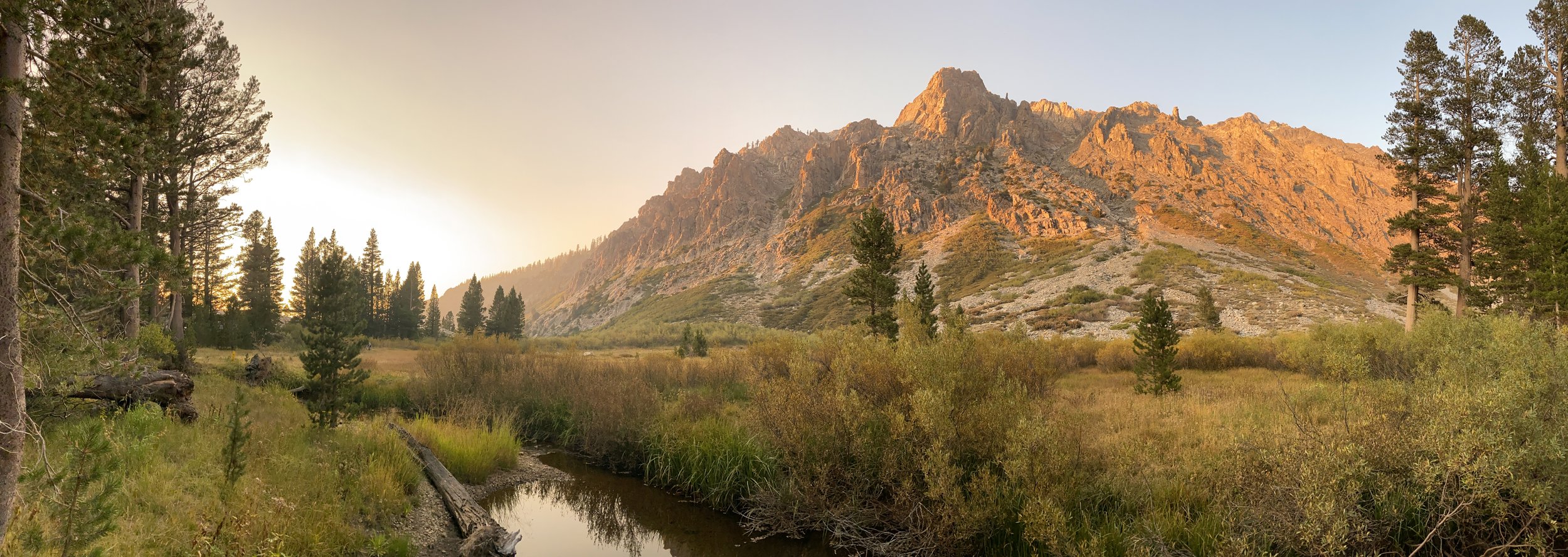
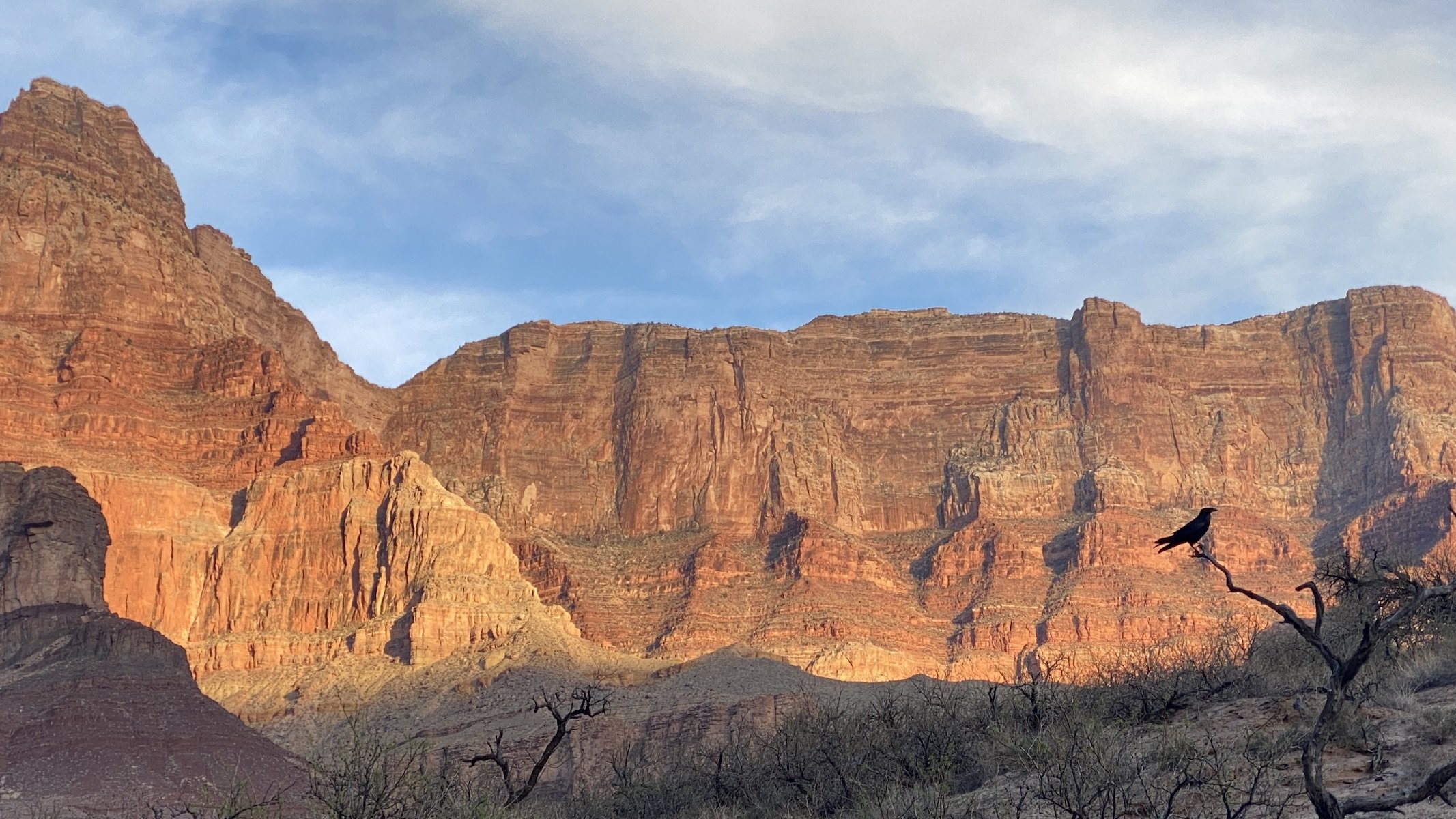
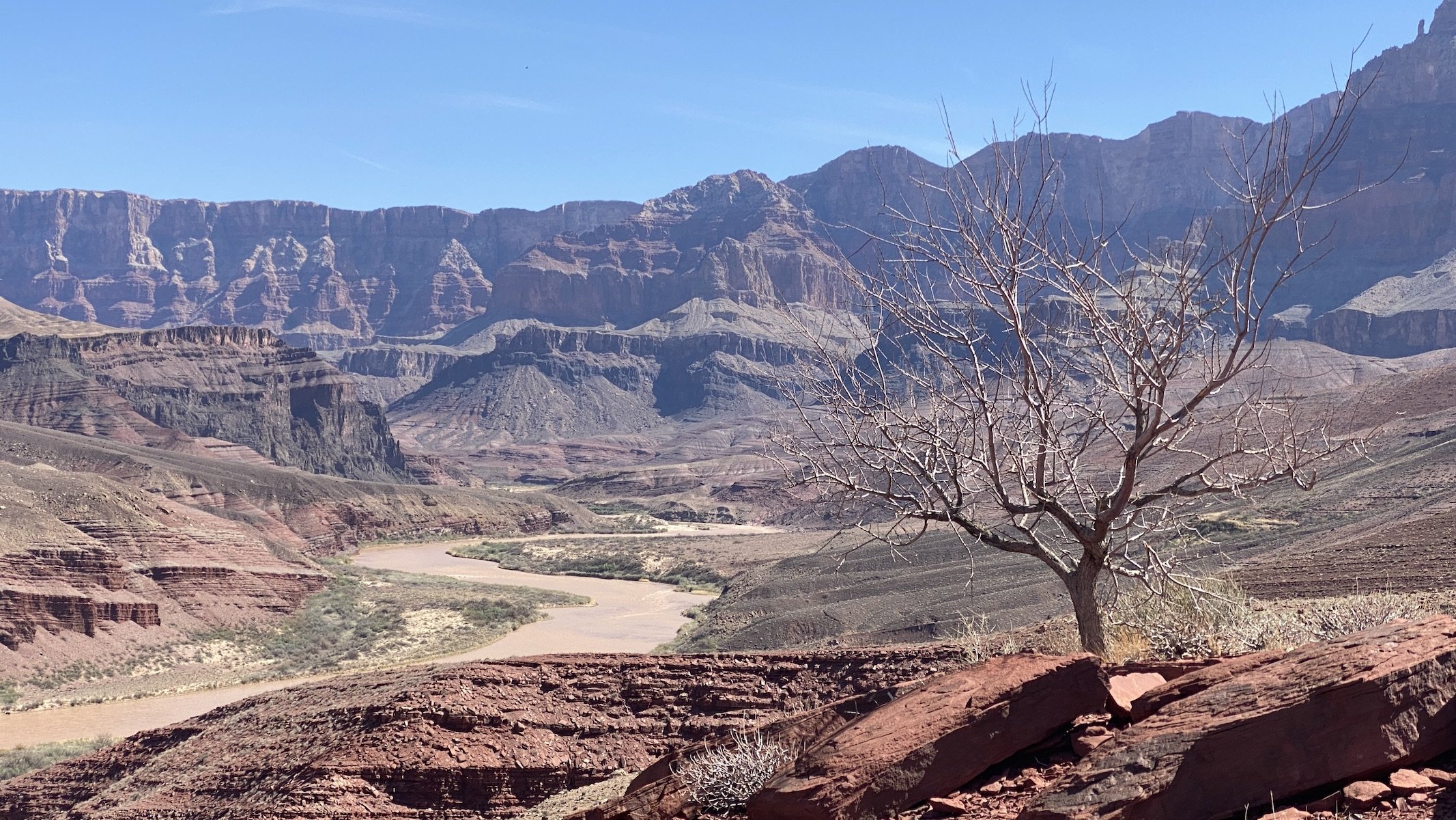
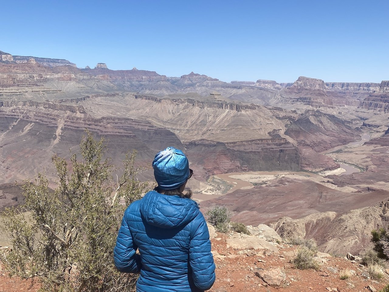
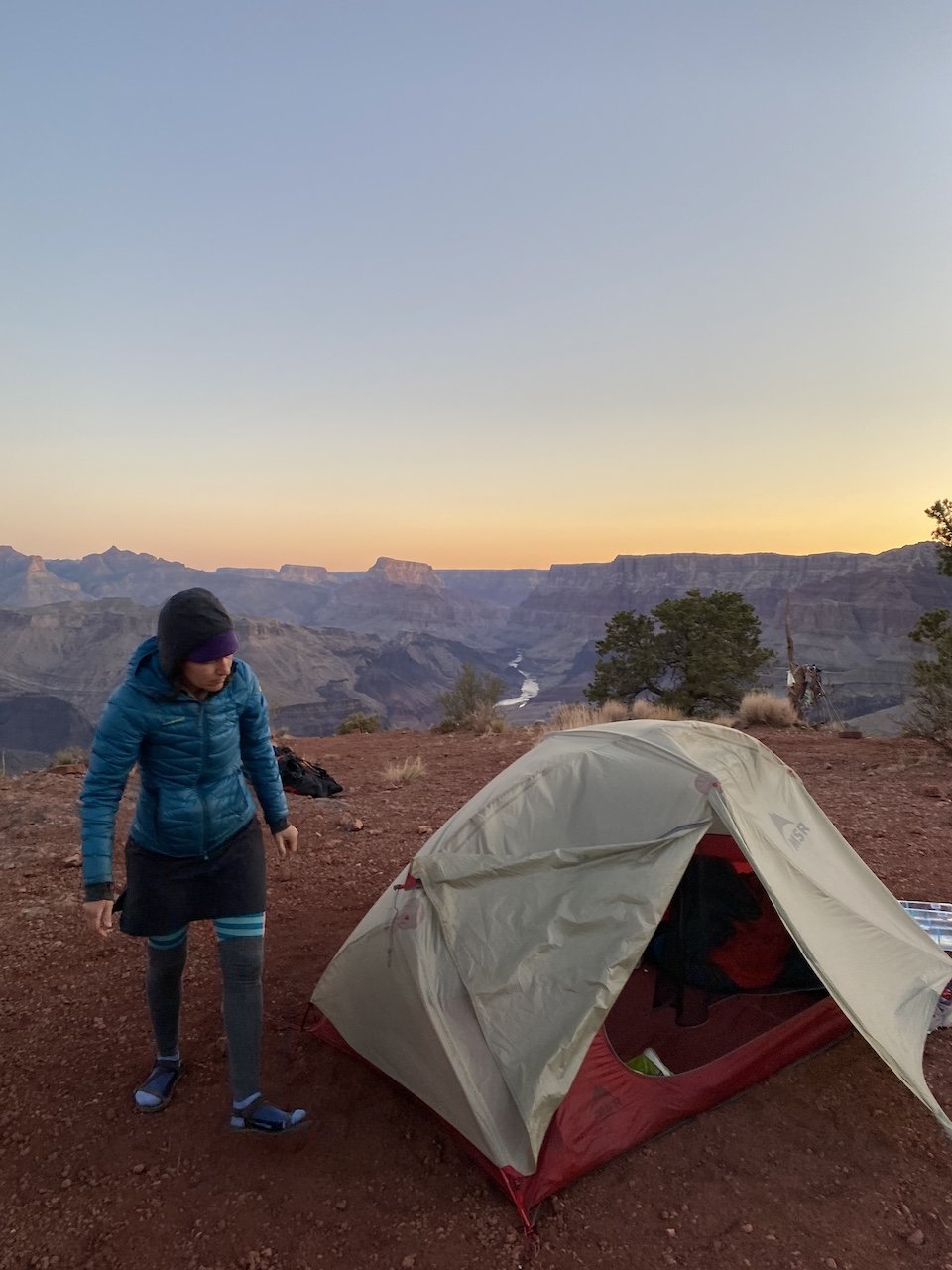
But we digress. On our third day, we hiked out from Tanner Beach early to beat the heat and stopped halfway back up the Tanner Trail. We picked up a couple of gallons of water we had cached on our way down and spent our last full day and night spellbound by views from atop the geologic layer known as the Redwall. Hiking through Grand Canyon means traveling through geologic time and through distinct biotic communities — from riparian, to desert scrub, pinyon-juniper (at the Redwall), and finally ponderosa pine and mixed conifer forest at the rim. The vantage point from this picturesque spot let us ponder all of that and more as we watched the light change and the ravens ride the thermals.
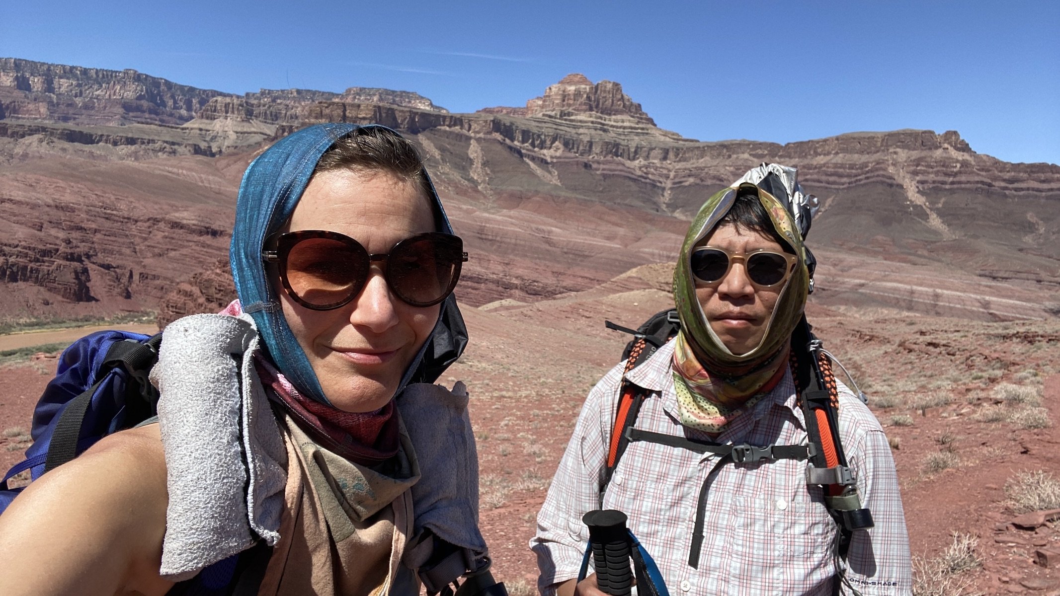
Amazingly, we had this beautiful spot all to ourselves. The only other person we saw that day was Ranger Jen Hogan, who checked in on us and stayed to chat for a few minutes on her patrol toward the river. When we returned home we read up on her and her history-making hike as the first non-native woman to solo hike the entirety of Grand Canyon — a feat she accomplished by hiking 1,000 miles in 77 days in 2021.


The canyon tells many stories, and this part of the canyon reveals countless tales of human history. One of these tales pertains to an event that happened just upriver, near Temple Butte. On June 30, 1956 a mid-air collision occurred between two commercial planes, killing all 128 passengers on board. At the time this was the deadliest crash in the nation’s history, prompting the establishment of the Federal Aviation Administration, giving a single agency authority over managing airspace to avoid similar tragedies.
We hiked to the rim early the next morning and encountered Ranger Della, whom we had met on another canyon hike a few years earlier, when we gave her some information about a hiker that had been reported missing, whom we had seen a day or two prior (all was well in the end). We then headed to Flagstaff for a night. On our way we visited the Navajo Nation and chatted with an elder who is a jewelry maker and Vietnam vet living just above the gorge of the Little Colorado River. The “Little” in the name is misleading, as this body of water is responsible for draining much of northern Arizona and is the primary contributor of sediment to the Colorado River whenever it flows its natural color.
We also visited the Ancestral Puebloan ruins at Wupatki, which we had last visited over a decade ago. The ruins don’t look a day older than when we last saw them all those years ago — but the same cannot be said about us!
Days: 4 (April 4 - 7, 2022)
Mileage: 28.5 mi. (including 12 mi. r/t along Escalante Route)
Elevation: Lipan Point trailhead 7,350'; Colorado River at Tanner Rapids 2,700'. Total elevation loss/gain 6,913’.
Camp locations: Tanner Beach (use area BB9); Red Wall (use area BB9).