• blog
  • gallery
  • shop
  • archive
  • about
Menu

dearantler

  • blog
  • gallery
  • shop
  • archive
  • about
Featured
IMG_3004 2.JPG
Travel
Hooves on the Ground: Onion Valley to Sixty Lake Basin and Col
Travel
Travel
IMG_8926.JPG
Travel
Hooves on the Ground: Grand Canyon's Clear Creek Trail and Cheyava Falls
Travel
Travel
IMG_6880.jpg
Travel
Hooves on the Ground: Miter Basin
Travel
Travel
IMG_6422.jpg
Travel
Hooves on the Ground: Tyee/Midnight/Hungry Packer Lakes, John Muir Wilderness
Travel
Travel
IMG_5896.jpg
Travel
Hooves on the Ground: Yosemite's Murphy Creek to Tuolumne Crest in the early season
Travel
Travel
IMG_5334 2.jpg
Travel
Hooves on the Ground: Grand Canyon's Tanner Trail and Escalante Route
Travel
Travel
IMG_3418.JPG
Travel
Hooves on the Ground: Mineral King Loop via Timber Gap and Lost Canyon
Travel
Travel
Hooves on the Ground: Darwin, Evolution, and Piute Canyons via Lamarck Col and Piute Pass
Travel
Hooves on the Ground: Darwin, Evolution, and Piute Canyons via Lamarck Col and Piute Pass
Travel
Travel
ThousandIsland.jpg
Travel
Hooves on the Ground: Thousand Island Lake via Rush Creek
Travel
Travel
IMG_3348.JPG
Travel
Hooves on the Ground: Grand Canyon's Hermit-Boucher Loop
Travel
Travel
DEARANTLER-SLIDER-2-1.png
Art
Elements of Existence
Art
Art
spellbound banner.png
Art
Spellbound | Wanderings Through the Witching Hour
Art
Art
IMG_0889.jpg
Travel
Hooves on the Ground: Yosemite's Grand Canyon of the Tuolumne and Old Big Oak Flat Road to El Capitan
Travel
Travel
psyche.jpg
Art
Psyche | Introspections In an Era of Uncertainty
Art
Art
LRG_DSC06553.JPG
Travel
Hooves on the Ground: Death Valley Albatross Plane Crash Site
Travel
Travel
HST map illustration.JPG
Travel
Hooves on the Ground: High Sierra Trail
Travel
Travel
Suspension.png
Art
Suspension
Art
Art
Hooves on the Ground: Nepal
Travel
Hooves on the Ground: Nepal
Travel
Travel
Hooves on the Ground: Cottonwood Pass and Lakes Loop (Miter Basin and Mt. Langley)
Travel
Hooves on the Ground: Cottonwood Pass and Lakes Loop (Miter Basin and Mt. Langley)
Travel
Travel
The Troubles We Carry
Art
The Troubles We Carry
Art
Art
Hooves on the Ground: South Lake to North Lake (Evolution Loop)
Travel
Hooves on the Ground: South Lake to North Lake (Evolution Loop)
Travel
Travel
Travel
Hooves on the Ground: Grand Canyon
Travel
Travel
Wanderlust: Hiking on Legendary Trails
Travel
Wanderlust: Hiking on Legendary Trails
Travel
Travel
Peru+Map.jpg
Travel
Hooves on the Ground: Perú
Travel
Travel
Art
Notorious/Glorious
Art
Art
Art
dearantler turns 3!
Art
Art
Art
Music Video for Sara Lov's 'Rain Up'
Art
Art
Travel
Hooves on the Ground: The Palisades
Travel
Travel
Travel
Hooves on the Ground: Tahoe to Yosemite Along the Pacific Crest Trail
Travel
Travel
Art
Strangers On A Trail
Art
Art

Sunrise at Sixty Lake Basin

Hooves on the Ground: Onion Valley to Sixty Lake Basin and Col

August 2, 2024

It had been a few years since we last visited this part of the Sierra and it was time to pay this photogenic landscape a return visit. We started with a night at Onion Valley campground to help these sea-level dwellers acclimate. We were catching the tail end of a week of challenging weather in this region and we caught some afternoon rain, but nothing too intense.


Day 1

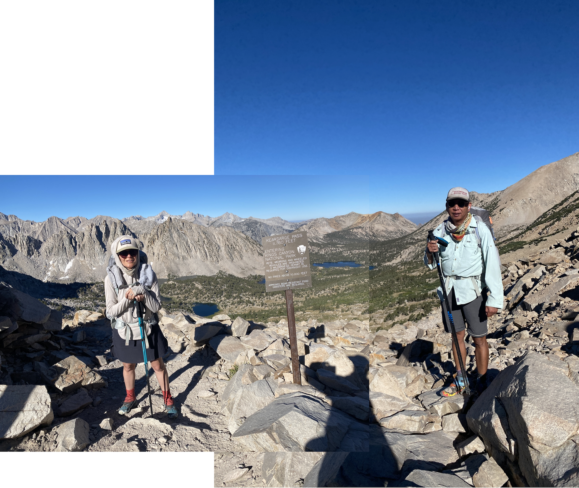
We started at Onion Valley trailhead and went over Kearsarge Pass by late morning, then continued on the high trail, rather than the low trail that leads down toward Kearsarge Lakes and Charlotte Lake. Clouds had been forming, and by mid-afternoon rain and some thunder arrived. We set up camp about 0.75 mi south of Glen Pass, nearish one of the tarns that dot this part of the trail.

Conditions were drier than we expected given the winter had brought average snowpack in the Sierra. Already, many creeks and streams were down to a trickle or totally dry, and many of the tarns had visibly shrunk, likely to be gone by early fall.

What was truly delightful about this side of Glen Pass was that the pika population was alive and well, with many critters (so many we lost count!) industriously skipping from rock to rock to gather their stockpiles of vegetation for the winter. From this camping location, we were treated to a 360-degree sound bath of syncopated pika screeches — to our right, the left, behind us, in front of us! The only other place we had seen so many pikas was near Tuolumne Peak in Yosemite (see The Pika Diaries!). It was a big treat to see these hardy little non-hibernating vegetarians doing their thing.


Day 2

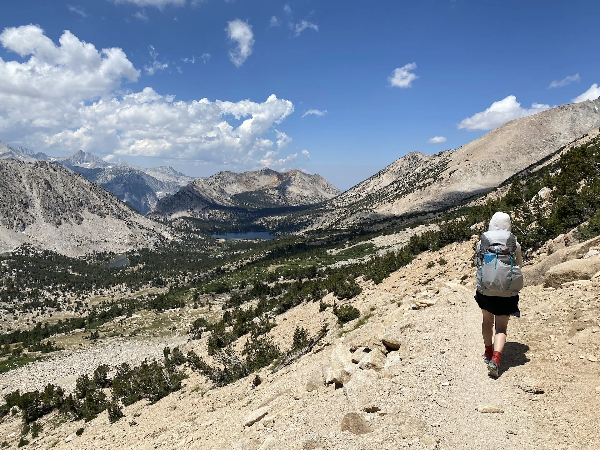
We went over Glen Pass early and descended toward Rae Lakes, chatting with a steady stream of JMTers and a few weekenders. Some were visiting from far-flung states — a solo hiker from Florida, a family from Maryland — and were just discovering the incredible magic of the Sierra for the first time. Seeing them in awe was a pleasant reminder of just how lucky we are to live in proximity to the Range of Light.

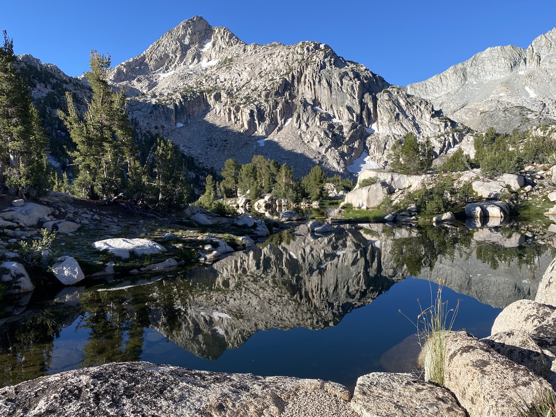
At Rae Lakes we left the JMT and picked up the trail toward Sixty Lake Basin. As we ascended, the trail afforded beautiful views of Rae Lakes, the Painted Lady, and eventually Fin Dome. It is an easy trail to follow, and as it ascends and then summits to drop into Sixty Lakes Basin, the intimacy of this basin becomes apparent. It feels smaller in scale than many Sierra basins, with each of the many lakes in its own bite-sized, forested valley. We found a great spot to camp on the north end of the long, unnamed lake locally referred to as Finger Lake, just east of Mount Cotter. It is at this spot that the grander views up into the high basin above treeline really open up. We typically don’t camp so close to a lake — it brings colder temperatures, more condensation, and often more wind — but it was a jaw-dropping spot. We stayed two nights.

Impressive trailwork above Kearsarge Lakes
IMG_2902.jpg
Pothole Lake near Kearsarge Pass
IMG_2909.JPG
Rae Lakes from Sixty Lake Trail
IMG_2955.JPG
Not a bad place to call home
IMG_2963.JPG
The col is in the center of the photo
IMG_2968.JPG
IMG_2971.JPG
Scouting the cross-country route
Gardiner Basin
Gardiner Basin
Gardiner Basin (ooohhh!)
Trail-finding toward the col
Shaded trail happy hour
Alpenglow starting over Bullfrog Lake
IMG_4236 2.JPG
IMG_4231.JPG
A lake of one's own (60 Lake Basin)
Above Bullfrog Lake
Above Bullfrog Lake
IMG_4134.JPG
Kearsarge Pass.png
Impressive trailwork above Kearsarge Lakes IMG_2902.jpg Pothole Lake near Kearsarge Pass IMG_2909.JPG Rae Lakes from Sixty Lake Trail IMG_2955.JPG Not a bad place to call home IMG_2963.JPG The col is in the center of the photo IMG_2968.JPG IMG_2971.JPG Scouting the cross-country route Gardiner Basin Gardiner Basin (ooohhh!) Trail-finding toward the col Shaded trail happy hour Alpenglow starting over Bullfrog Lake IMG_4236 2.JPG IMG_4231.JPG A lake of one's own (60 Lake Basin) Above Bullfrog Lake IMG_4134.JPG Kearsarge Pass.png


Day 3

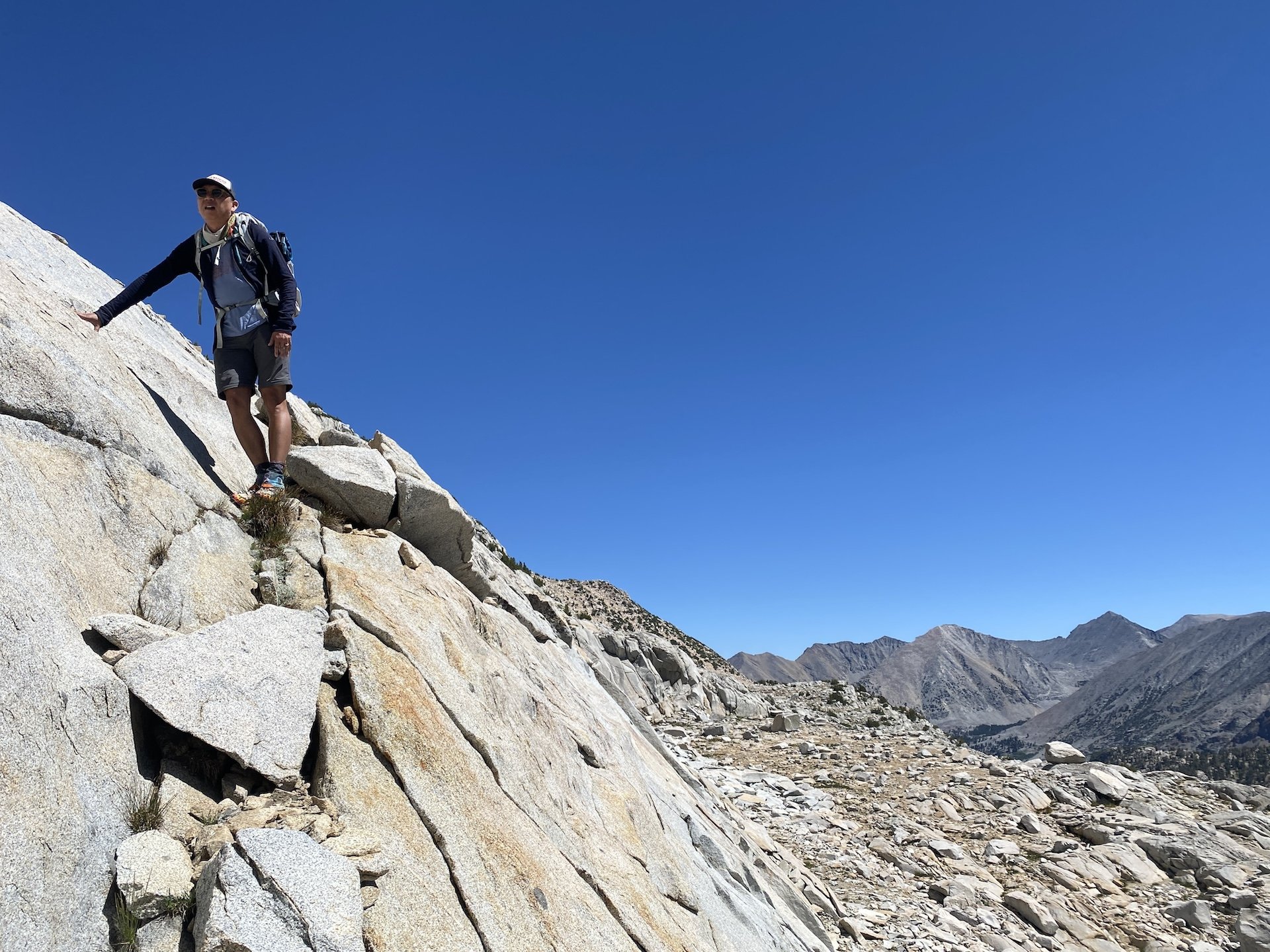
We day hiked cross-country up the basin. This can be accomplished by staying on the west side of Finger Lake. We went high almost immediately to avoid the steep drop-offs encountered along the ledges closer to the lake, alternately following and then ignoring some cairns along the way. The brief description in Secor’s High Sierra was helpful.

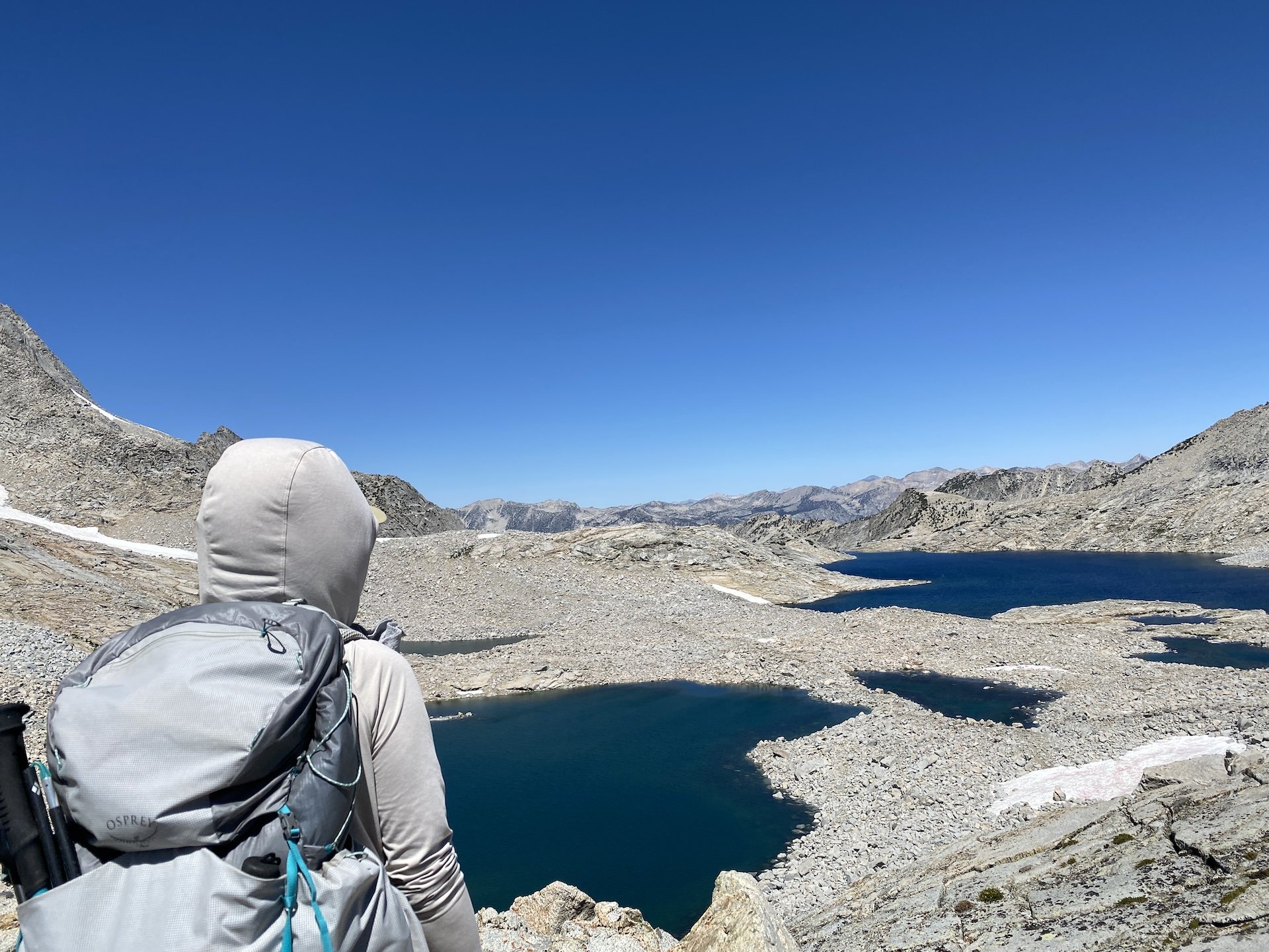
We meandered our way up, encountering some class 2 talus and boulder sections. We stayed due south for much of the route, aiming for the tarns and lake before turning west and zigzagging up ledges to the top. A nice surprise was seeing the last lake before reaching the col come into view to the east with each step, which has a beautiful turquoise blue color owing to the glacial melt that feeds it. It was a treat to see this vibrant hue — there are very few Sierra lakes this color.

Eventually, after about 2 slow miles we made it up to Sixty Lake Col, which offers awesome views into Gardiner Basin and its sparse moonscape. Here we lingered over a lazy lunch, watching a group of about 10 hikers on the Gardiner side crossing their way precariously along what looked to us like the wrong (read: exceedingly steep and eroded) side of the lake nearest the col. At the col we spoke with a solo hiker, Carl from Richmond, CA, who was doing a multiday off-the-beaten-path route starting at Baxter Pass. For having the reputation of being a seldom-visited basin, Gardiner sure seemed busy the day we were there! We opted not to go down into Gardiner Basin, and instead headed back and past camp to explore other parts of Sixty Lake Basin, where we picked up the visible trail once more.

Gardiner Basin from Sixty Lake Col


Day 4

We hiked back the way we came, going back down toward Rae Lakes and over Glen Pass. Once again, we spoke to many hikers along this fairly busy path. We opted to dry camp along the high trail to enjoy one more quiet night on the trail. We found a delightful spot a little over a mile west of Kearsarge Pass, on a promontory ledge with gorgeous views of Bullfrog Lake and the Kearsarge Pinnacles, where we soaked in the afternoon sun and enjoyed a trail happy hour before an early dinner.


Day 5

Enticed by the promise of a hearty meal in Lone Pine, we hiked down at a steady pace. We saw a pair of rather large and healthy-looking sooty grouse foraging near the trail. It was already fairly hot at these lower elevations by the time we reached the trailhead by mid-morning, and we were glad not to be among the hikers just starting their uphill trek!

This area holds a special place in my heart. Onion Valley is it is the first place I ever camped. In preparation for my first night in a tent, I did a great deal of reading about camping in bear country, acclimating to being at altitude, having the right gear etc. Despite my over-preparation, on the morning after my first night I reached into my jacket pocket to find two single-serve packets of honey that I had forgotten to take out of the tent. I thought myself lucky not have been visited by Winnie the Pooh or any other honey-loving ursine!

View fullsize IMG_2908.JPG
View fullsize Look at that pretty moon
Look at that pretty moon
View fullsize IMG_2919.JPG
View fullsize The first of many pikas we'd see
The first of many pikas we'd see
View fullsize IMG_4144.jpg
View fullsize The first of the 60(ish?) lakes
The first of the 60(ish?) lakes
View fullsize IMG_2964.jpg
View fullsize Studying the cross-country options
Studying the cross-country options
View fullsize Negotiating talus
Negotiating talus
View fullsize Did someone say snack?
Did someone say snack?
View fullsize Turquoise lake near Sixty Lake Col
Turquoise lake near Sixty Lake Col
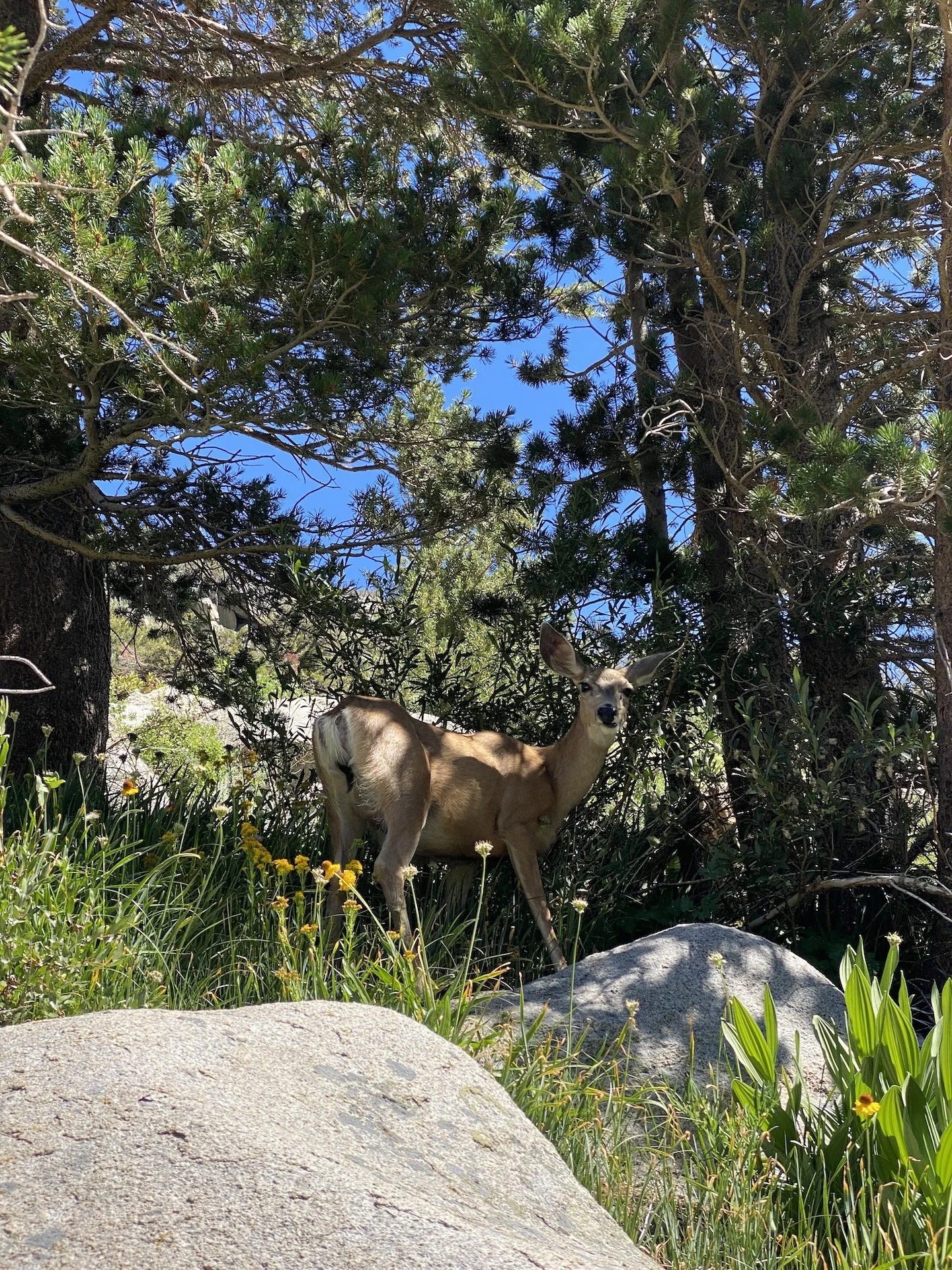
View fullsize Oh deer!
Oh deer!
View fullsize IMG_4243 2.JPG
View fullsize IMG_4237.JPG
View fullsize IMG_4230.JPG
View fullsize A pair of sooty grouse
A pair of sooty grouse
View fullsize Mother Nature's art
Mother Nature's art
View fullsize IMG_4147.JPG
View fullsize Above Kearsarge Lakes
Above Kearsarge Lakes
View fullsize Hot afternoon, cool shade
Hot afternoon, cool shade
View fullsize Trail happy hour
Trail happy hour


Days: 5 (July 2024)

Mileage: 37 mi.

Elevations: Onion Valley trailhead 9,200’; Kearsarge Pass 11,700'; Glen Pass 11,969’; Sixty Lake Col 11,700’. Total elevation gain 9,678’.

Camp locations: tarn south of Glen Pass; Sixty Lake Basin (2 nights); High Trail ~1 mi west of Kearsarge Pass.

In Travel Tags Backpacking, Sierra Nevada, Sierra, Eastern Sierra, Kearsarge, Sixty Lake, Onion Valley
Hooves on the Ground: Grand Canyon's Clear Creek Trail and Cheyava Falls →
Dear Antlerby Jedediah Cornelius Antler"The buck stops here."The advice and musings of the swankiest eight-point buck you'll ever meet.

Dear Antler

by Jedediah Cornelius Antler

"The buck stops here."

The advice and musings of the swankiest eight-point buck you'll ever meet.


See all art posts

See all travel posts

Subscribe

 Be a true "Jedhead" and sign up for our mailing list here. 

We respect your privacy. Truly

Jed says thank you!


blog
Hooves on the Ground: Onion Valley to Sixty Lake Basin and Col
about 9 months ago
Hooves on the Ground: Grand Canyon's Clear Creek Trail and Cheyava Falls
about a year ago
Hooves on the Ground: Miter Basin
about a year ago
Hooves on the Ground: Tyee/Midnight/Hungry Packer Lakes, John Muir Wilderness
about a year ago
Hooves on the Ground: Yosemite's Murphy Creek to Tuolumne Crest in the early season
about a year ago
Hooves on the Ground: Grand Canyon's Tanner Trail and Escalante Route
about 2 years ago
Hooves on the Ground: Mineral King Loop via Timber Gap and Lost Canyon
about 2 years ago
Hooves on the Ground: Darwin, Evolution, and Piute Canyons via Lamarck Col and Piute Pass
about 3 years ago
Hooves on the Ground: Thousand Island Lake via Rush Creek
about 3 years ago
Hooves on the Ground: Grand Canyon's Hermit-Boucher Loop
about 4 years ago
Elements of Existence
about 4 years ago
Spellbound | Wanderings Through the Witching Hour
about 4 years ago
Hooves on the Ground: Yosemite's Grand Canyon of the Tuolumne and Old Big Oak Flat Road to El Capitan
about 4 years ago
Psyche | Introspections In an Era of Uncertainty
about 4 years ago
Hooves on the Ground: Death Valley Albatross Plane Crash Site
about 5 years ago
Hooves on the Ground: High Sierra Trail
about 5 years ago
Suspension
about 6 years ago
Hooves on the Ground: Nepal
about 6 years ago
Hooves on the Ground: Cottonwood Pass and Lakes Loop (Miter Basin and Mt. Langley)
about 6 years ago
The Troubles We Carry
about 7 years ago

© dearantler 2013-2024. All rights reserved.