


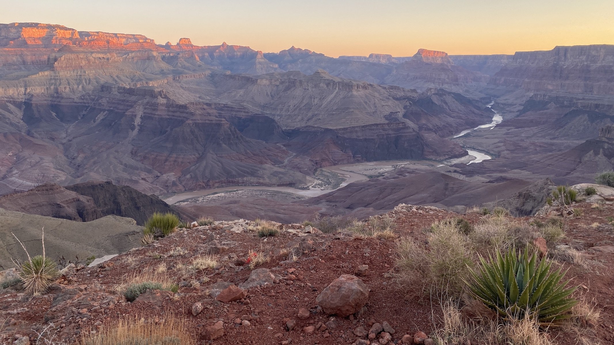


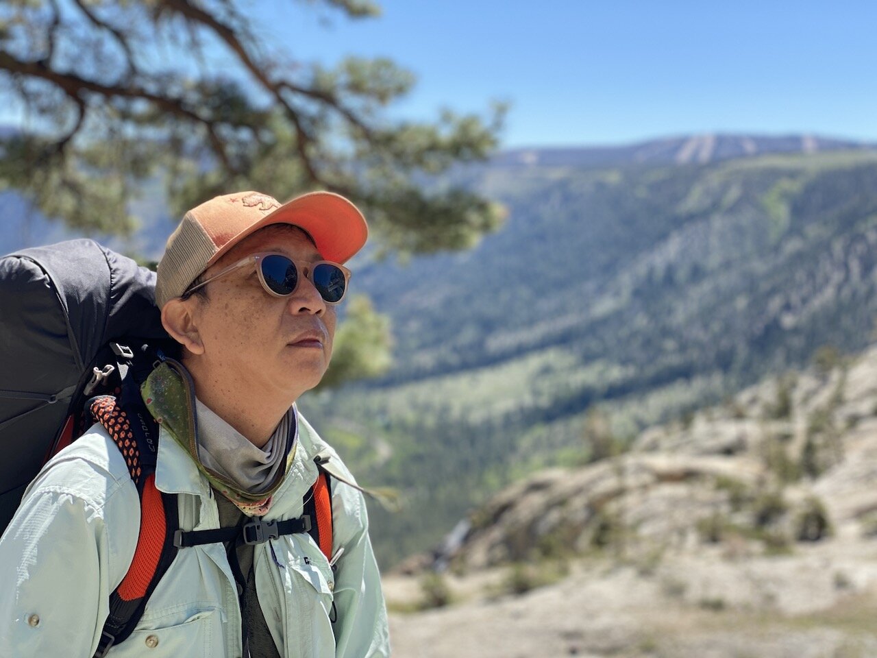
Most years we don’t hit the Sierra for a backpacking trip until July, but the changing climate means the summer backpacking season too is changing. With this year’s low snow and the likelihood of wildfires growing with each passing week, we decided we would head out for a short, last-minute trip to scratch the wanderlust itch we were left with after an off-the-beaten-path trip to Grand Canyon last month. We did some research on Sierra trails that are suitable for early season exploration and settled on this one. We hiked it June 10-12, and while we had traveled the middle portion of this route when we did the John Muir trail back in 2015, the beginning and end portions were new and intriguing to us.
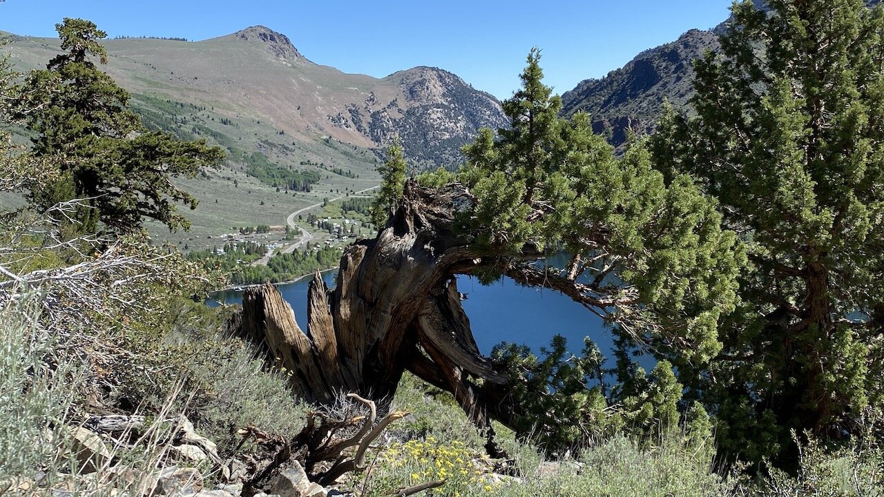
We camped at June Lake Campground the night before the hike, enabling us to have a (fairly) early start the following morning. A sudden cold snap brought snow flurries and lows in the 20s, which made getting out of our warm quilt in early morning a bit of a challenge. Rush Creek trailhead (7,220’) is located near Silver Lake along the June Lakes Loop. We were warned that the parking lot at the trailhead fills on weekends, but we had no problem given our midweek start. It’s possible to park off the road just across the street from Silver Lake and pick up the trail via a short, steep use trail along the lake’s westernmost point. There is one bear box at the parking lot, where we left a box with some extra food and other bear-attracting items we didn’t need on the trail.
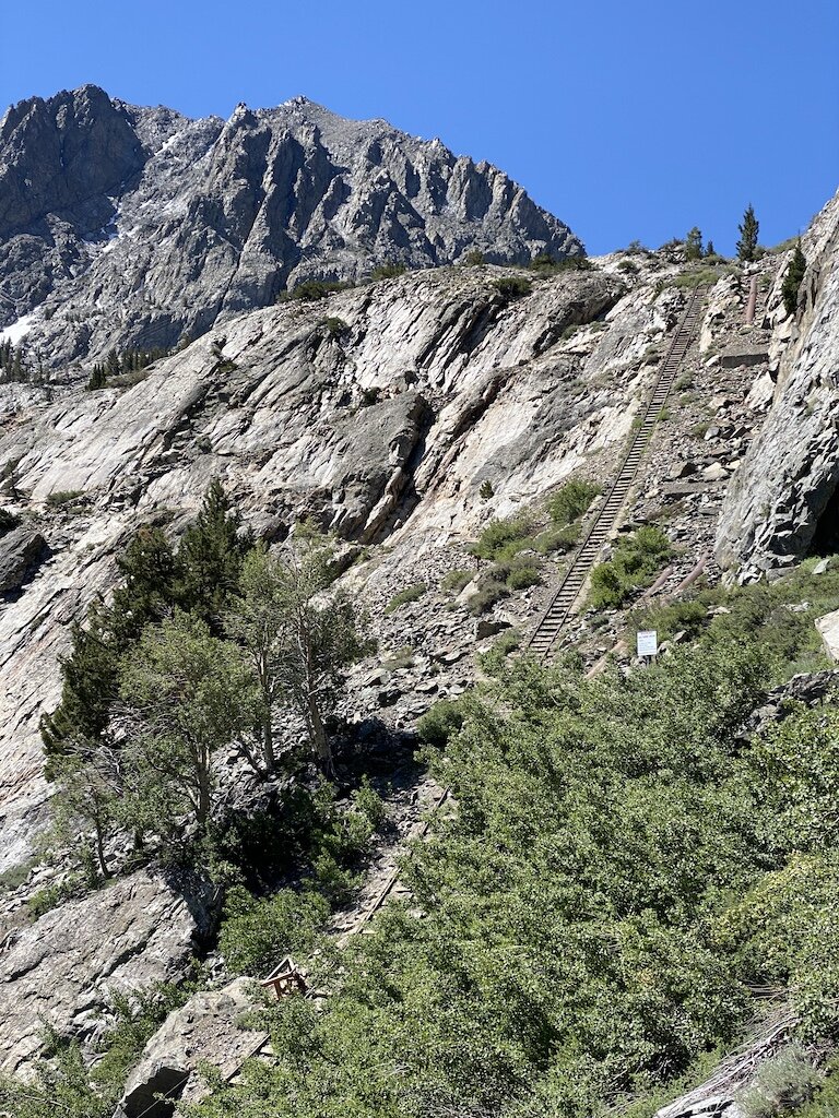
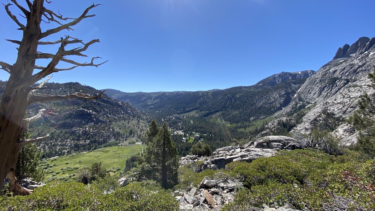
The trail is immediately scenic, gaining about 2,000’ steadily and under little shade in the first 3 miles before letting up somewhat. Views of the lakes and verdant valley along the ascent are a feast for the eyes, and juniper, aspen, and wildflowers kept us company along the trail. We soon passed the first evidence of Southern California Edison’s hydropower infrastructure — a cable funicular laid astonishingly steeply up the mountainside, which transports personnel and supplies up the the dams along Agnew, Gem, and Waugh lakes. The funicular was running as we crossed the tracks and we soon got to say hello to a trio of workers going up up up toward the first dam. Just another day at the office.
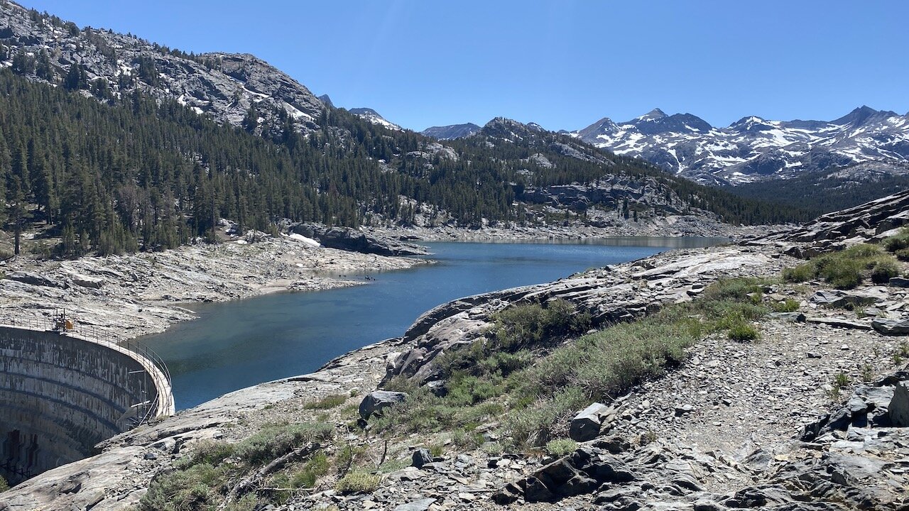
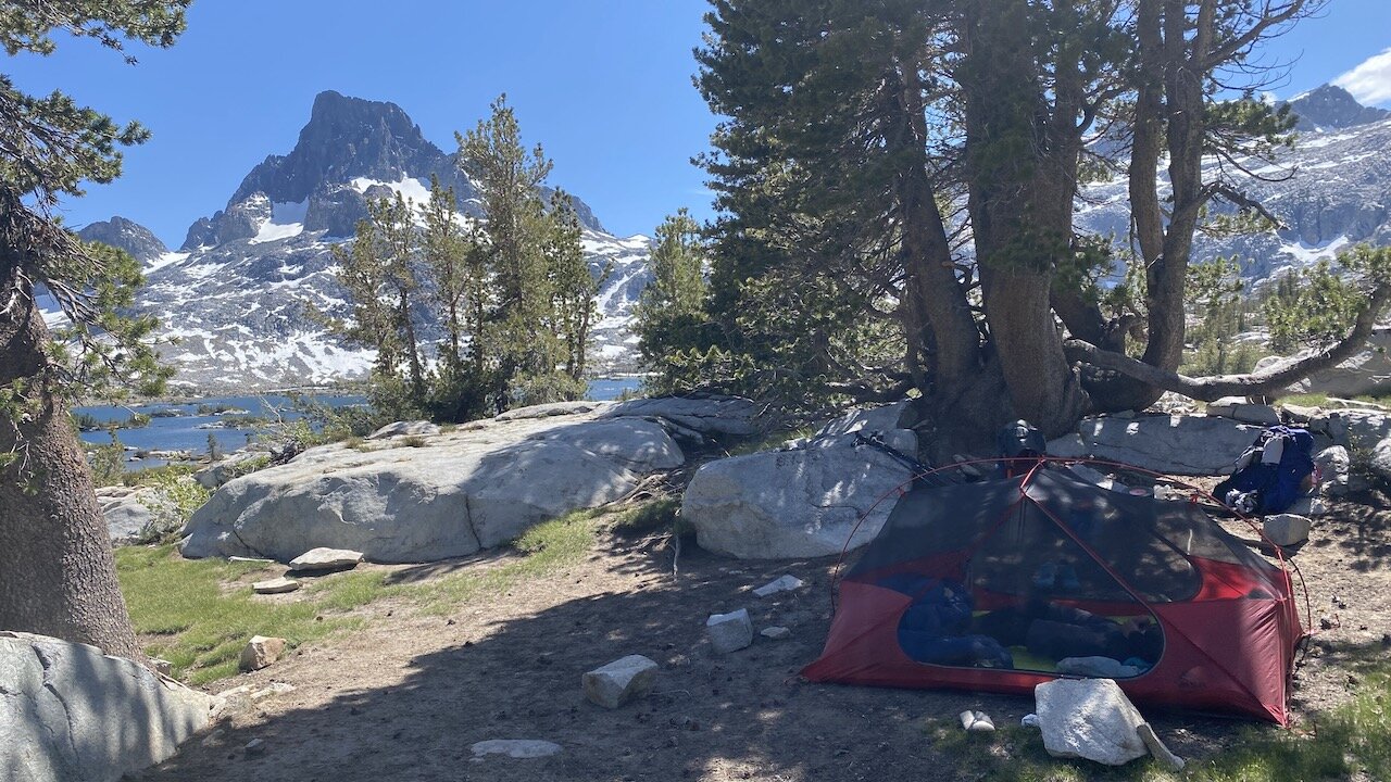
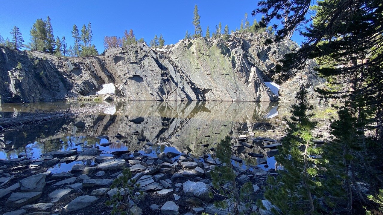
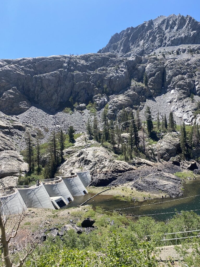
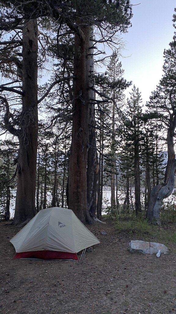
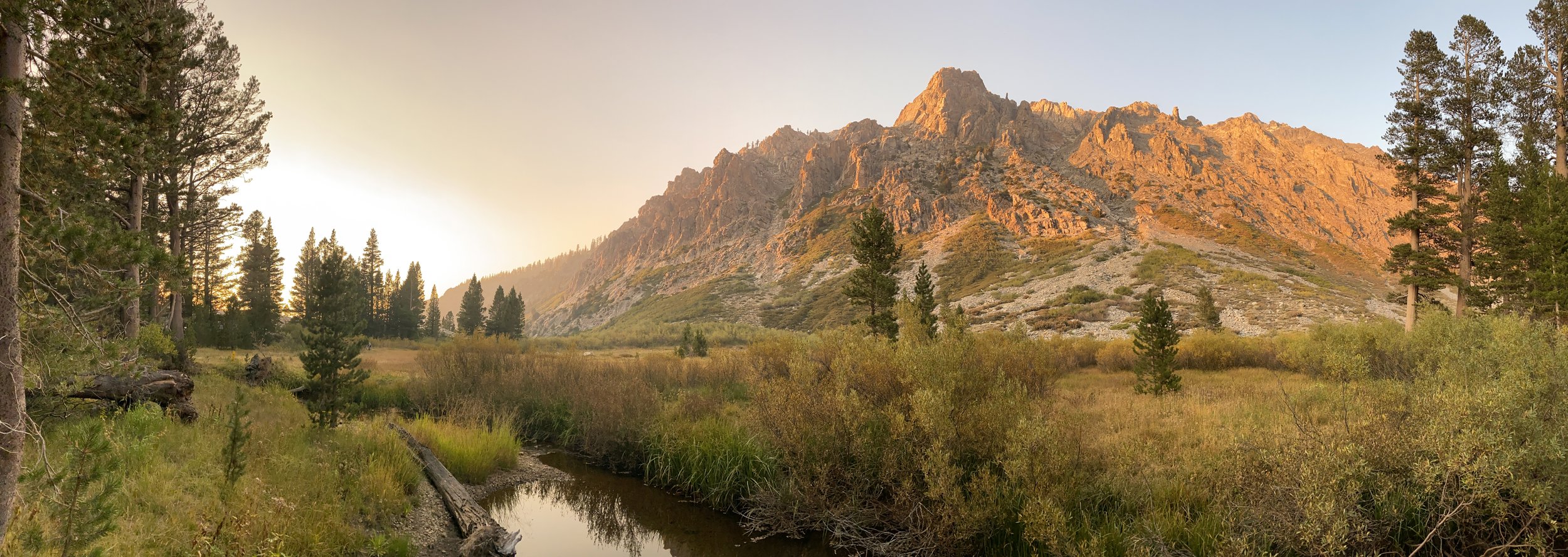
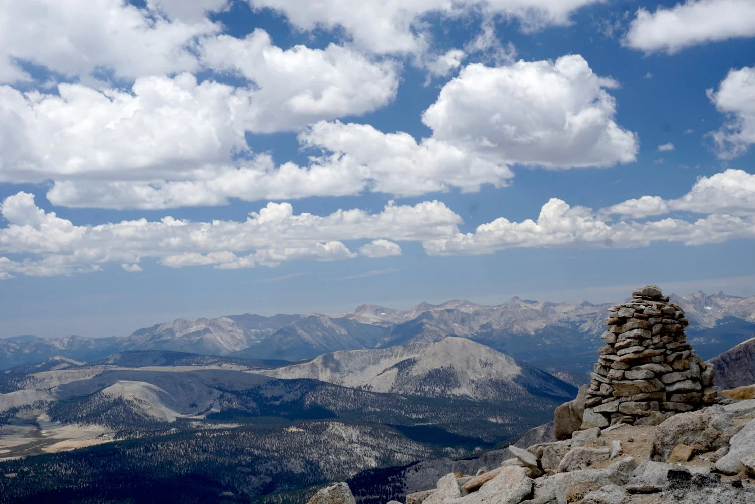
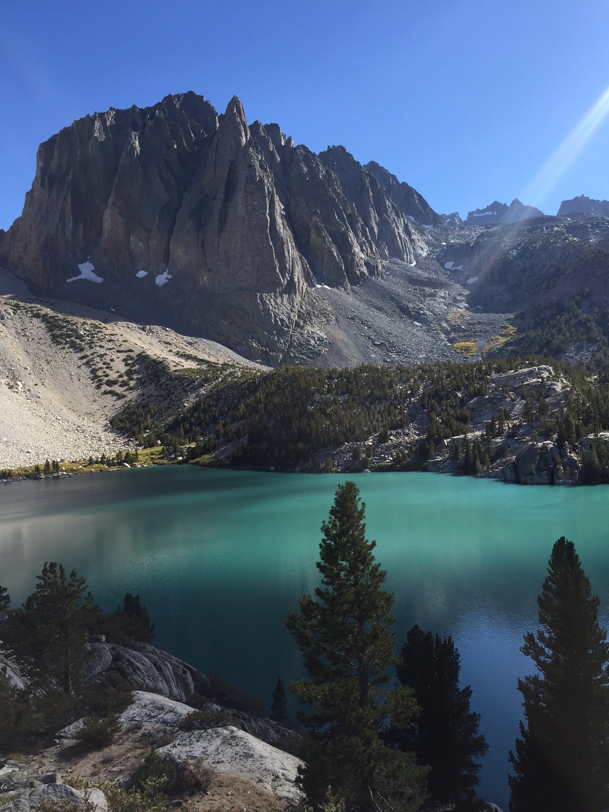
Across Agnew Lake we spotted the rocky trail we’d be traversing in a couple of days’ time. We took a lunch break at pretty Gem Lake, where the first views of the Ritter Range appear — its dark volcanic geology and jagged shapes contrasting photogenically against lingering snow. Pressing on we learned that Rush Creek is aptly named — it’s impressively swift and voluminous, as evidenced by the small gorge spanned by a sturdy bridge near the junction with the Weber Lake trail. We proceeded to Waugh Lake (9,442’), where we set up camp at a spacious, shaded site above the northern shore with stunning views of Mt. Davis and the Ritter Range across the lake. We had the lake to ourselves that night, save for some frolicking chipmunks and marmots.
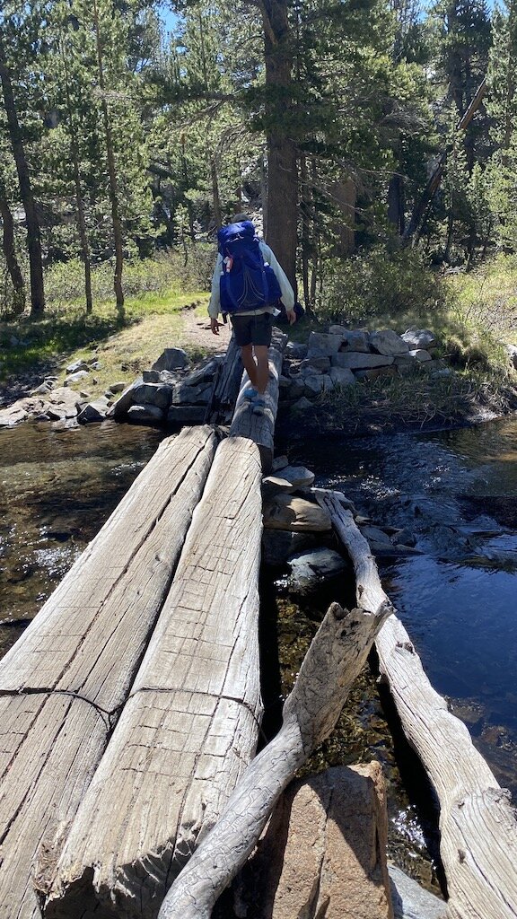
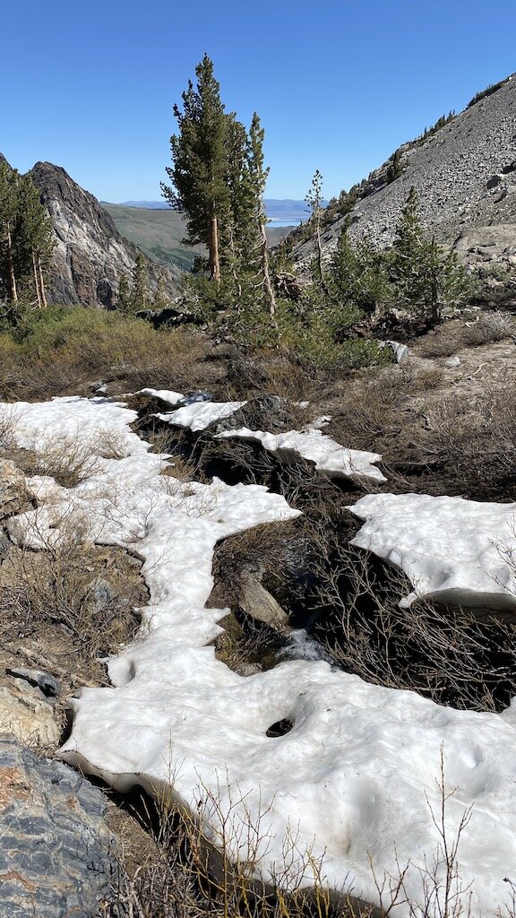
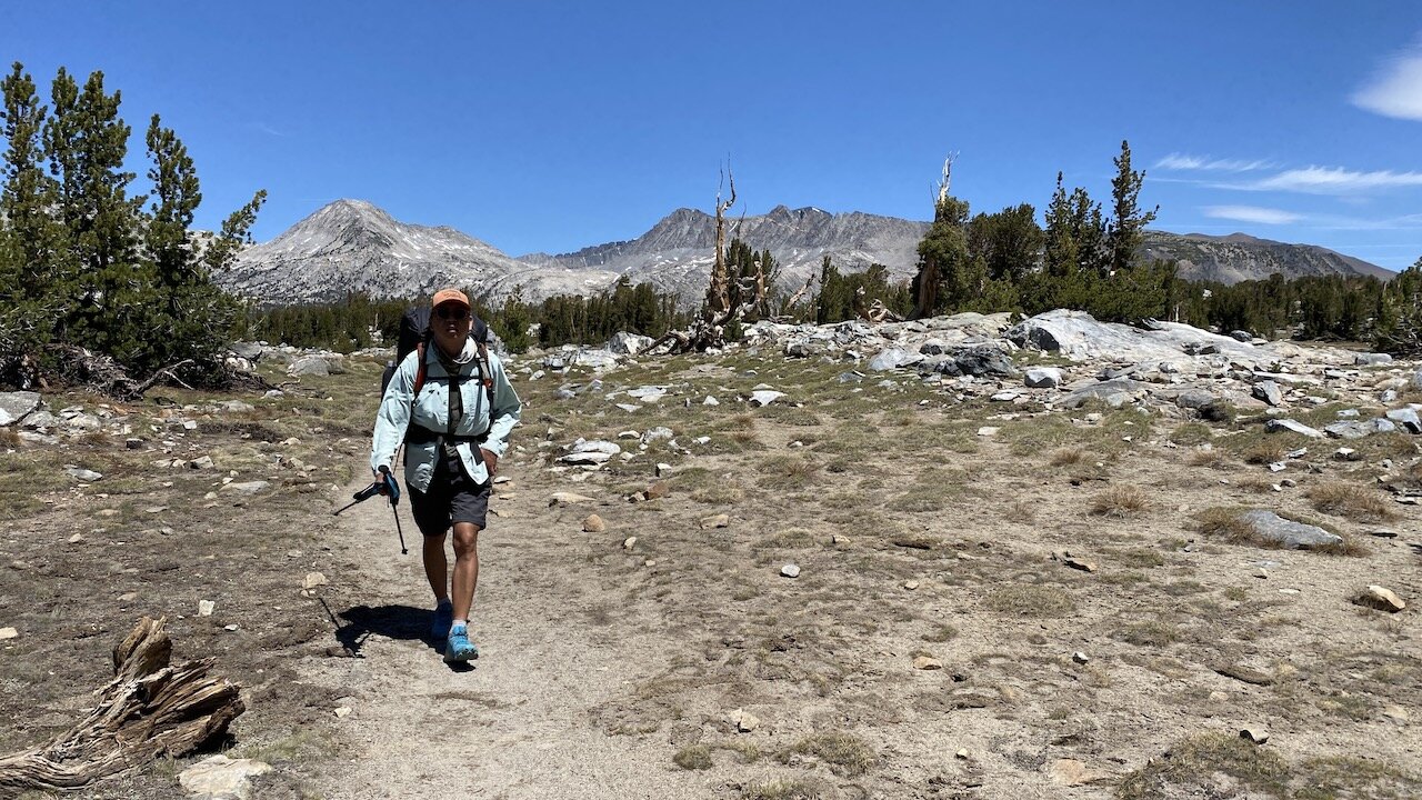
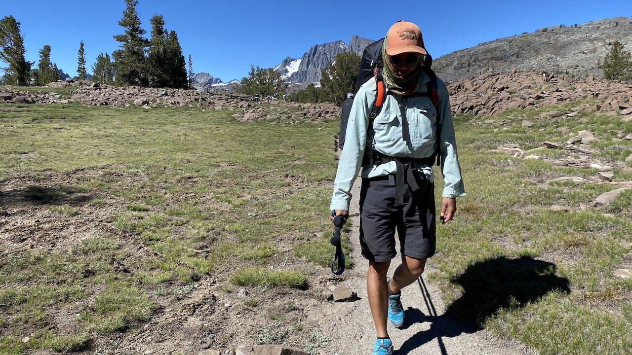
The next day we climbed away from the lake under the shade of lodgepole pines and soon crossed Rush Creek twice along a couple of log bridges that had half collapsed. We soon came to a junction with the Pacific Crest and John Muir trails. Heading south along the PCT/JMT we left the relative solitude of the prior day and were soon greeting a steady stream of Canada-bound PCTers. We had planned to take an early lunch at Island Pass (10,205’) but clouds of mosquitoes made that impossible. We found a dry and rocky spot away from water and practiced the Dalai Lama’s purported philosophy toward mosquitoes: give them a chance and then reincarnate them.
Continuing southeast we stopped to chat with several hikers — “Dogboy” and “Eagle Man” were ⅓ of the way along their PCT thru-hike, while Jim and Katie from Mammoth Lakes are on their second of 10 short Sierra backpacking trips planned for summer and early fall. Without exception, the few dozen hikers we encountered were friendly and in good spirits. We suspect the pandemic-induced euphoria of communing with nature and like-minded folks had something to do with it.
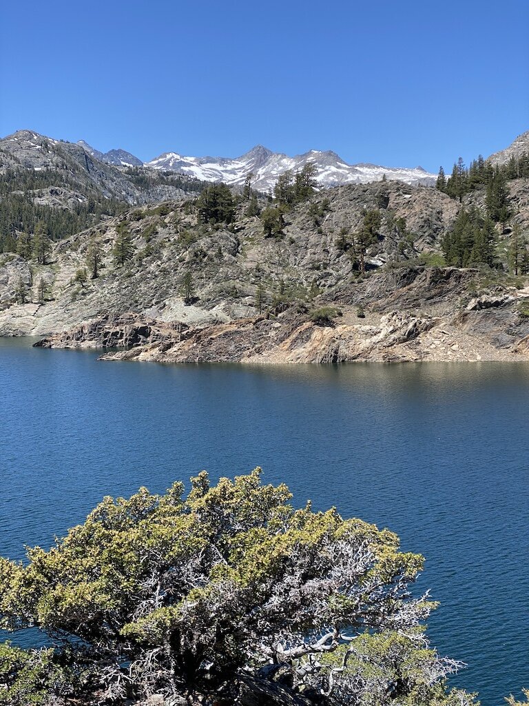
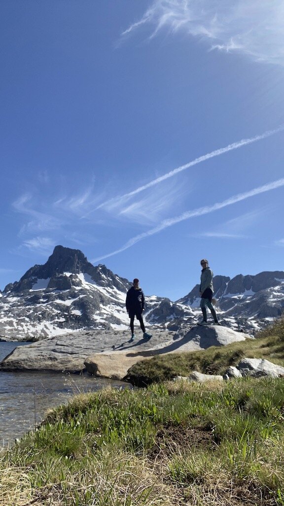
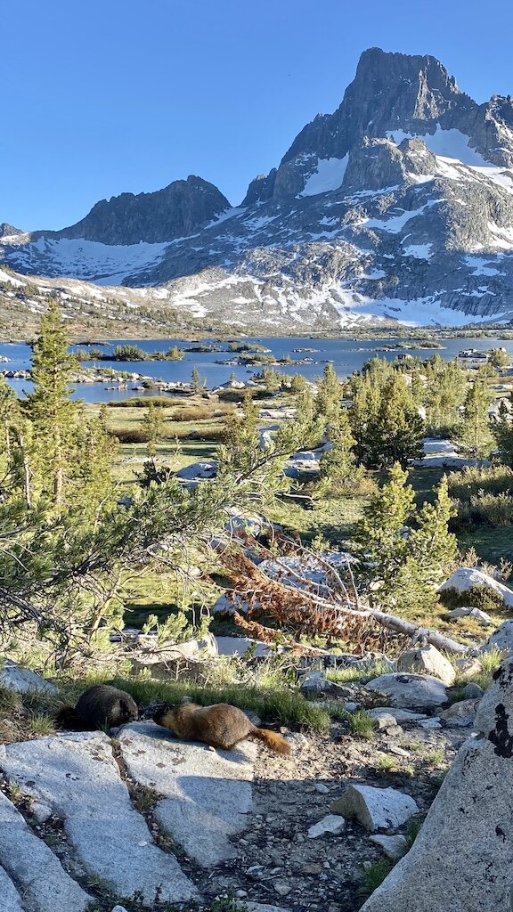
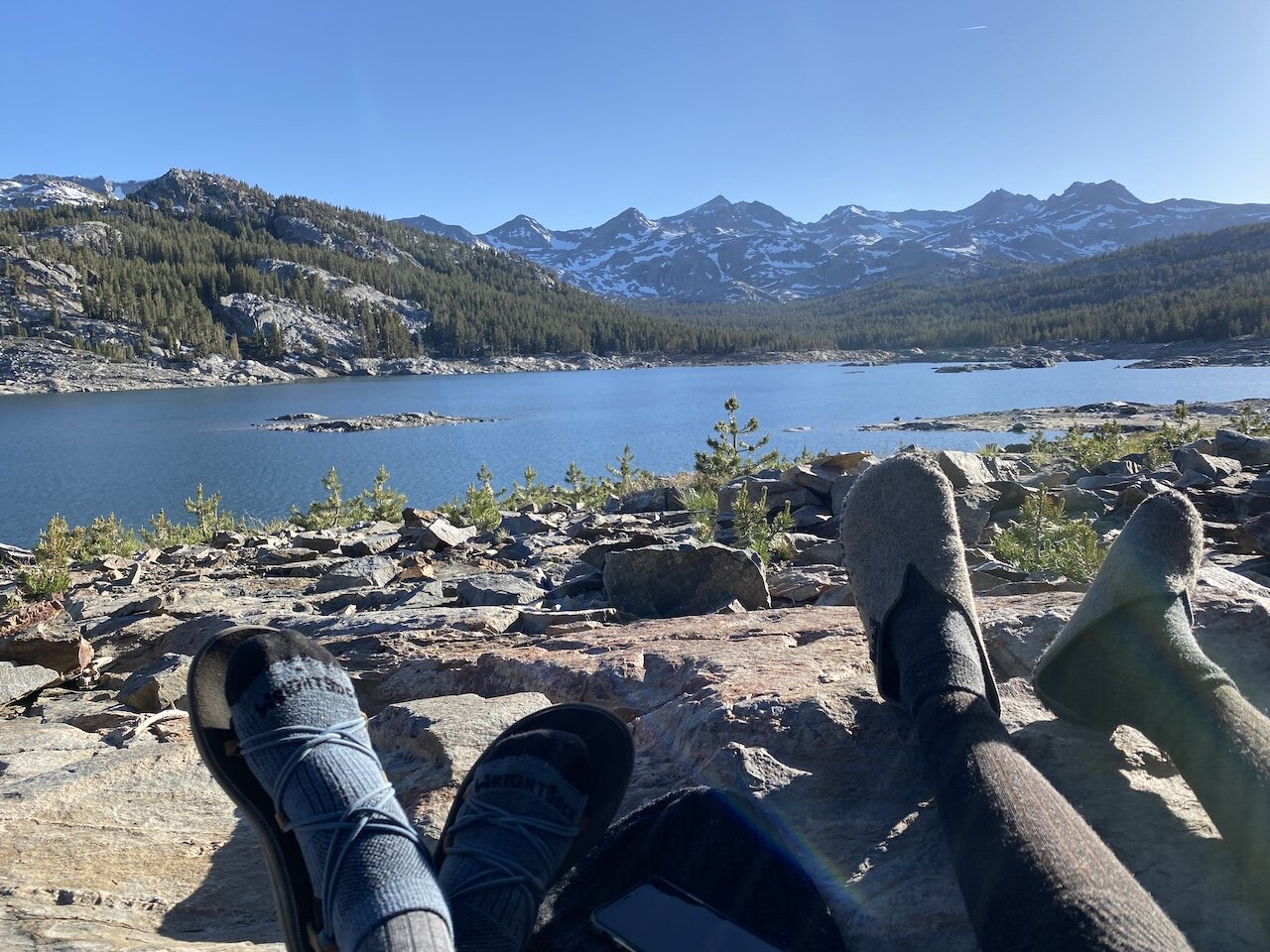
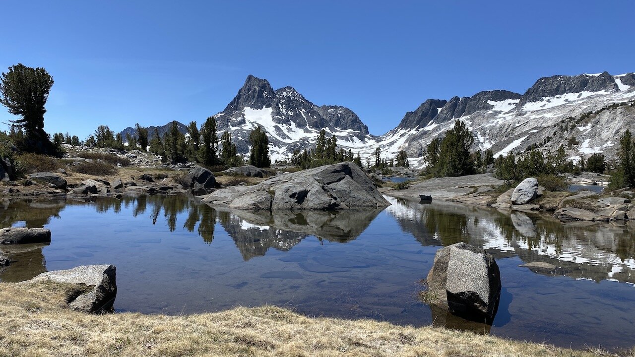
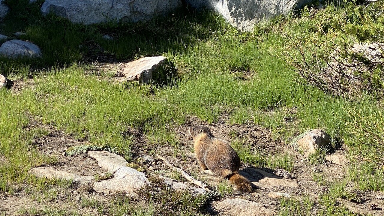
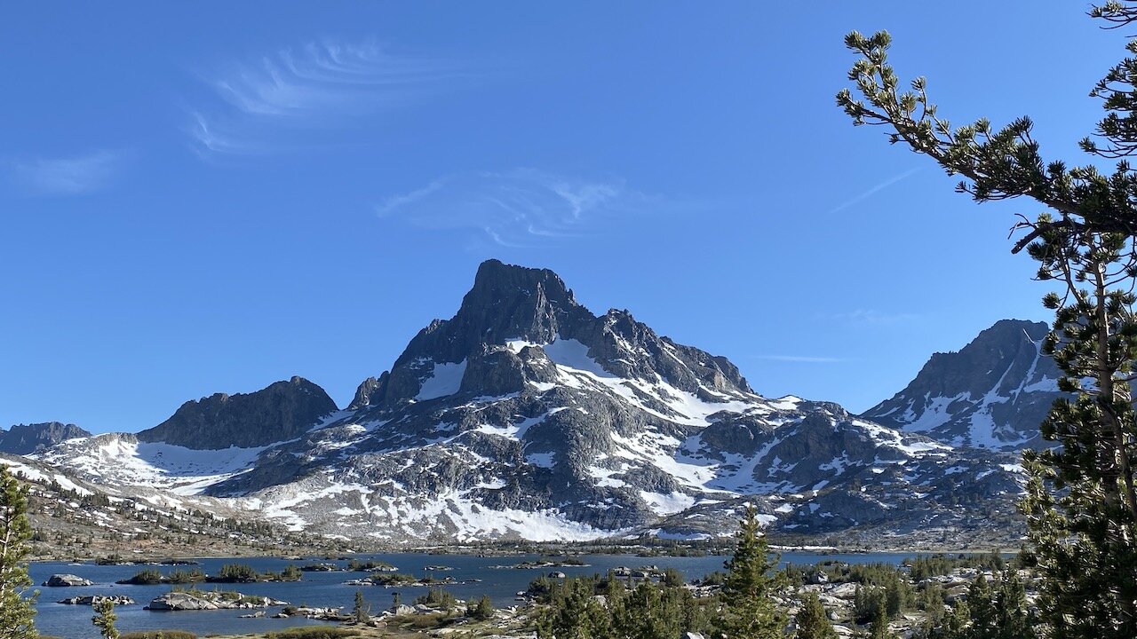
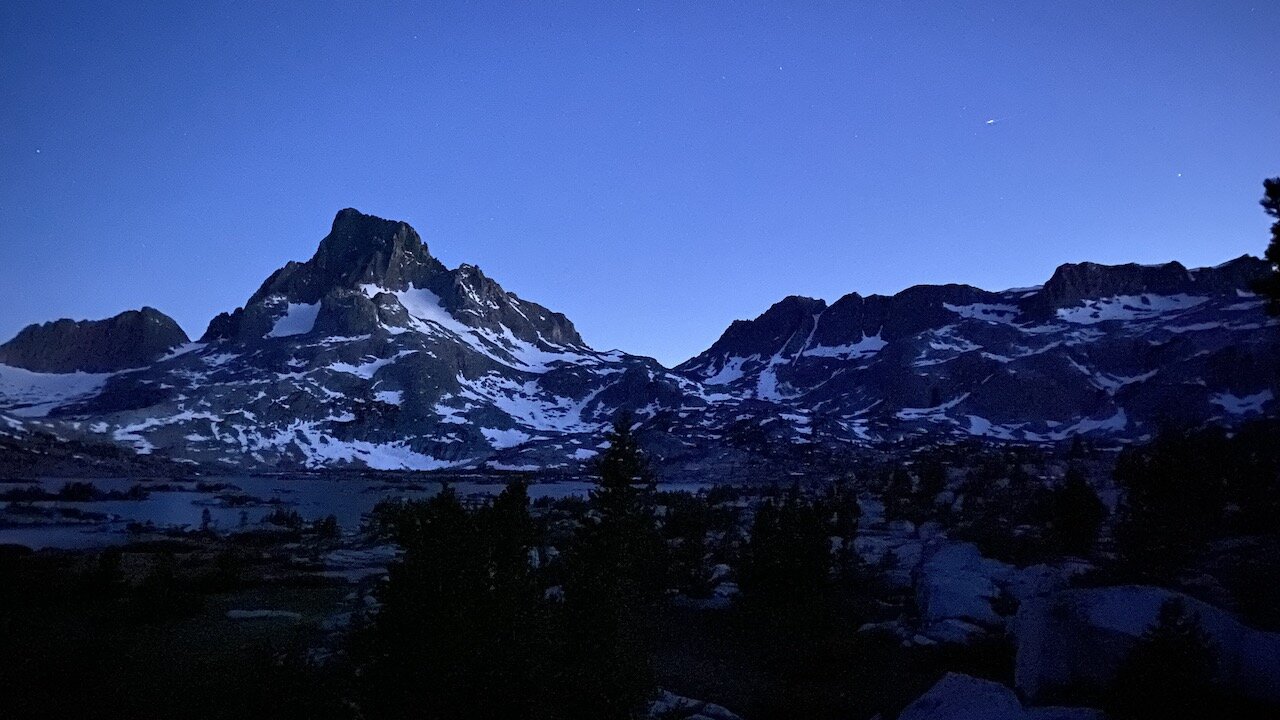
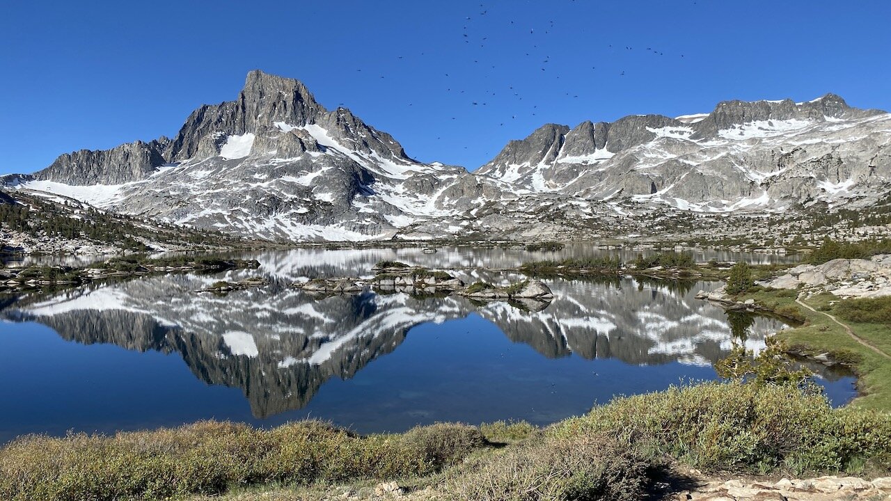
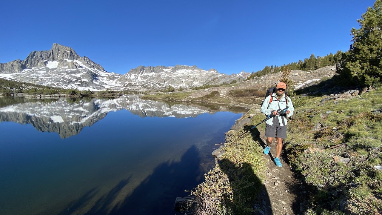
We soon left the trail and took a cross-country route to the northern shore of Thousand Island Lake (9,833’) to look for a campsite well away from the trail junction, where we knew many campers congregate each night. It took us a good while but we eventually spied a use trail that led up to a well-hidden, shaded site above and away from the lake. The mosquitoes were relentless but the views of Banner Peak above the lake’s vegetated islets gave us something else to focus on. We spent a lazy afternoon, first napping and then watching the changing light of day at the lake’s shore. At dinnertime we were joined by a couple of plump marmots who were chomping on grasses and other vegetation while we enjoyed our own meal. Here’s a video of our new furry friends (check out the first video in this series, The Pika Diaries).
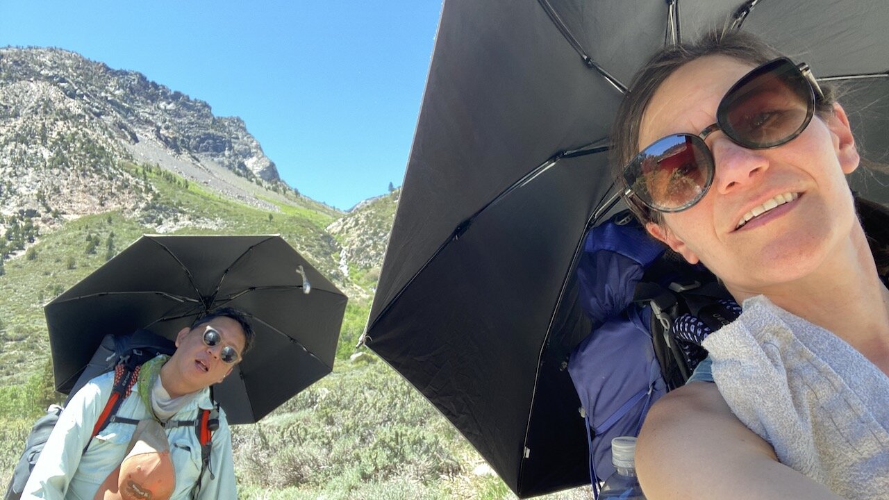
On our final morning we left the JMT and proceeded northeast along the PCT, climbing up toward the Sierra Crest and a nameless pass with lovely views. With clouds of mosquitoes finding us whenever we stopped or slowed, we did not have a leisurely hiking pace that day. Passing Clark Lakes, we hiked Spooky Meadow and a still snow-covered narrow canyon. We caught a glimpse of Mono Lake in the distance and soon began a steady descent west of Carson Peak and toward the junction near Agnew Lake, which we had passed two days prior. It was Saturday and there were many backpackers hiking up the opposite direction, presumably for an overnighter at Thousand Island Lake. Temperatures were in the mid-80s and we soon affixed our trusty Six Moon Designs backpacker umbrellas to our packs. We were the envy of all of the uphill hikers we encountered. We made it back to the trailhead before 1pm and headed to Mountain Rambler Brewery in Bishop for a vegan Impossible Burger washed down with an impossibly satiating beer.
See Wilderness Press’s Sierra South for a good description of this route. Map 11 of Tom Harrison’s 13-part JMT pack cover this area.
Days: 3 (June 10-12, 2021)
Mileage: 25 mi.
Elevation: low point at Rush Creek trailhead 7,220'; high point at Island Pass 10,200’
Camp locations: Waugh Lake, Thousand Island Lake