• blog
  • gallery
  • shop
  • archive
  • about
Menu

dearantler

  • blog
  • gallery
  • shop
  • archive
  • about
Featured
IMG_3004 2.JPG
Travel
Hooves on the Ground: Onion Valley to Sixty Lake Basin and Col
Travel
Travel
IMG_8926.JPG
Travel
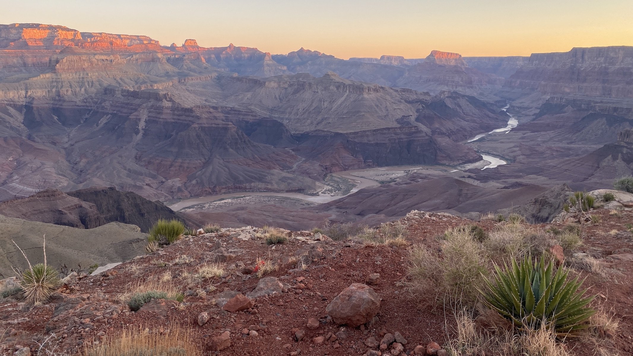
Hooves on the Ground: Grand Canyon's Clear Creek Trail and Cheyava Falls
Travel
Travel
IMG_6880.jpg
Travel
Hooves on the Ground: Miter Basin
Travel
Travel
IMG_6422.jpg
Travel
Hooves on the Ground: Tyee/Midnight/Hungry Packer Lakes, John Muir Wilderness
Travel
Travel
IMG_5896.jpg
Travel
Hooves on the Ground: Yosemite's Murphy Creek to Tuolumne Crest in the early season
Travel
Travel
IMG_5334 2.jpg
Travel
Hooves on the Ground: Grand Canyon's Tanner Trail and Escalante Route
Travel
Travel
IMG_3418.JPG
Travel
Hooves on the Ground: Mineral King Loop via Timber Gap and Lost Canyon
Travel
Travel
Hooves on the Ground: Darwin, Evolution, and Piute Canyons via Lamarck Col and Piute Pass
Travel
Hooves on the Ground: Darwin, Evolution, and Piute Canyons via Lamarck Col and Piute Pass
Travel
Travel
ThousandIsland.jpg
Travel
Hooves on the Ground: Thousand Island Lake via Rush Creek
Travel
Travel
IMG_3348.JPG
Travel
Hooves on the Ground: Grand Canyon's Hermit-Boucher Loop
Travel
Travel
DEARANTLER-SLIDER-2-1.png
Art
Elements of Existence
Art
Art
spellbound banner.png
Art
Spellbound | Wanderings Through the Witching Hour
Art
Art
IMG_0889.jpg
Travel
Hooves on the Ground: Yosemite's Grand Canyon of the Tuolumne and Old Big Oak Flat Road to El Capitan
Travel
Travel
psyche.jpg
Art
Psyche | Introspections In an Era of Uncertainty
Art
Art
LRG_DSC06553.JPG
Travel
Hooves on the Ground: Death Valley Albatross Plane Crash Site
Travel
Travel
HST map illustration.JPG
Travel
Hooves on the Ground: High Sierra Trail
Travel
Travel
Suspension.png
Art
Suspension
Art
Art
Hooves on the Ground: Nepal
Travel
Hooves on the Ground: Nepal
Travel
Travel
Hooves on the Ground: Cottonwood Pass and Lakes Loop (Miter Basin and Mt. Langley)
Travel
Hooves on the Ground: Cottonwood Pass and Lakes Loop (Miter Basin and Mt. Langley)
Travel
Travel
The Troubles We Carry
Art
The Troubles We Carry
Art
Art
Hooves on the Ground: South Lake to North Lake (Evolution Loop)
Travel
Hooves on the Ground: South Lake to North Lake (Evolution Loop)
Travel
Travel
Travel
Hooves on the Ground: Grand Canyon
Travel
Travel
Wanderlust: Hiking on Legendary Trails
Travel
Wanderlust: Hiking on Legendary Trails
Travel
Travel
Peru+Map.jpg
Travel
Hooves on the Ground: Perú
Travel
Travel
Art
Notorious/Glorious
Art
Art
Art
dearantler turns 3!
Art
Art
Art
Music Video for Sara Lov's 'Rain Up'
Art
Art
Travel
Hooves on the Ground: The Palisades
Travel
Travel
Travel
Hooves on the Ground: Tahoe to Yosemite Along the Pacific Crest Trail
Travel
Travel
Art
Strangers On A Trail
Art
Art

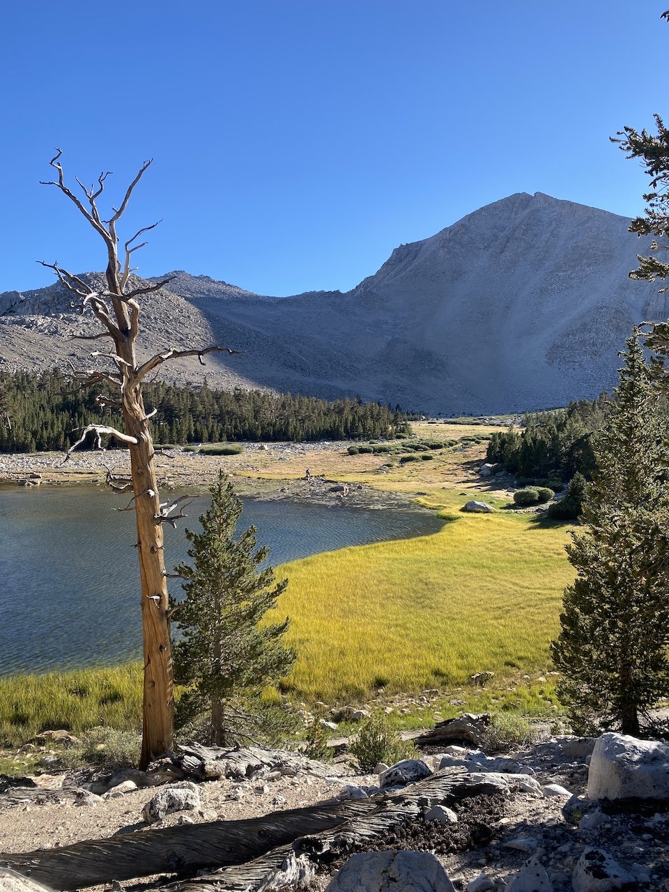
Tree ghost mimicking the rocky peaks of Miter Basin

Hooves on the Ground: Miter Basin

July 19, 2023

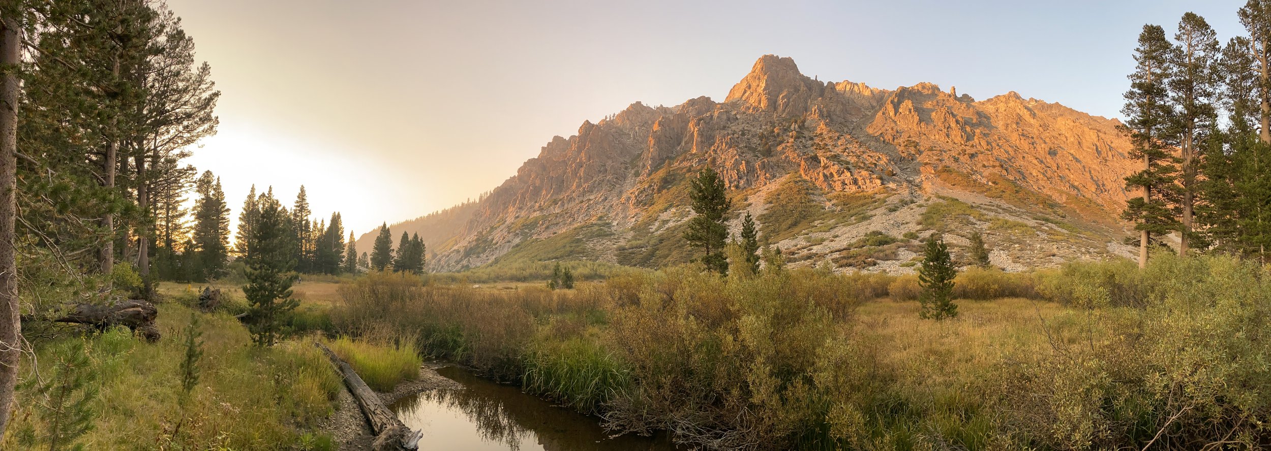
A five-day Sierra trek with beautiful weather, no wildfire smoke, and no mosquitoes? Sometimes you get lucky. This time, we were in the John Muir and Golden Trout Wildernesses and in Sequoia National Park, maximizing our time enjoying a cross-country jaunt of Miter Basin.

We’ve never met a Sierra basin we didn’t like, and Miter is one we’ve been meaning to return to for some time. Our first visit to Miter was brief — a scramble from Soldier Lake for a few hours, as part of a loop of Cottonwood Lakes and Pass that included summiting Mt. Langley. What an indescribably transcendent place, we thought to ourselves. We knew we had to go back.

Sky Blue Lake with the imposing formation of The Miter dominating on the right

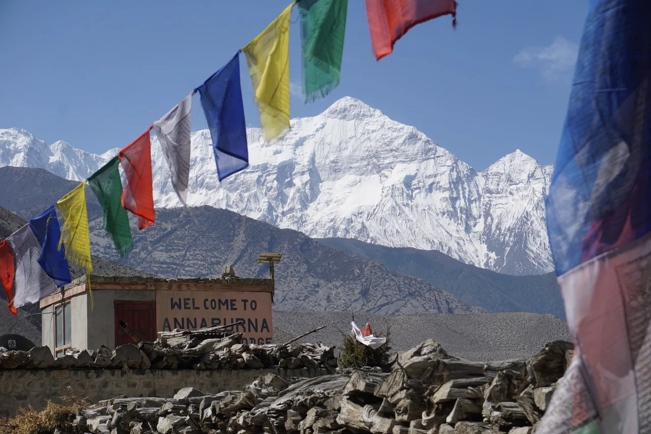
On this trip, we were joined by our Czech pals Jana and Marek, who were interested in a “Wild West wilderness experience,” as they put it. We met Jana in the Himalaya in 2018 while hiking the Annapurna Circuit.

We sometimes forget how fortunate we are to experience nature as we do in the American West, and hiking with Jana and Marek helped remind us. Having large swaths of land protected from development means we have the freedom to roam for days or weeks without stepping into a modern building or crossing an asphalt-covered road. Returning to the comforts of modernity means experiencing them with new eyes and appreciation — which, for us, over the years has tended to be one of the longer-lasting effects of wilderness travel.

View fullsize IMG_6757.jpg
View fullsize Ascending New Army Pass
Ascending New Army Pass
View fullsize Geology of New Army Pass
Geology of New Army Pass
View fullsize A zipper tree, perhaps?
A zipper tree, perhaps?
View fullsize Trail nap
Trail nap
View fullsize IMG_6782.jpg
View fullsize Miter Basin grandeur
Miter Basin grandeur
View fullsize IMG_6763.jpg
View fullsize Underwater rock garden
Underwater rock garden
View fullsize IMG_6745.jpg
View fullsize IMG_6853.jpg
View fullsize IMG_6849.jpg
View fullsize Napping at 12k'
Napping at 12k'
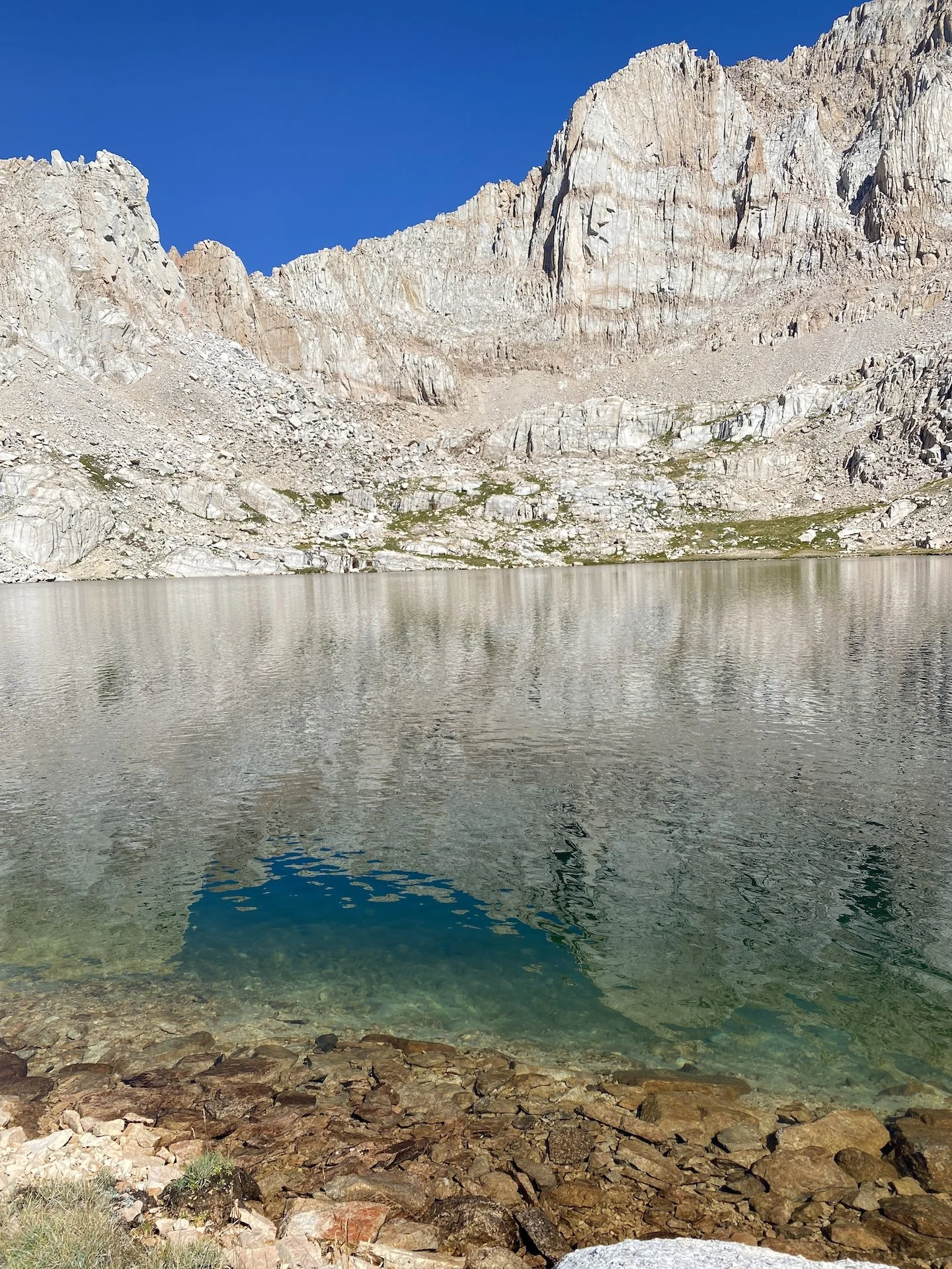
View fullsize Iridescent Lake
Iridescent Lake
View fullsize IMG_7561.JPG
View fullsize IMG_6879.jpg

Our route began at Cottonwood Lakes trailhead (10,040’) — a thin-aired start for sea-level dwellers. To help us acclimatize, the night before the hike we camped at the walk-in backpackers’ campground near the trailhead (which was virtually empty when we arrived in the afternoon and very full by the evening).

Day 1

From Cottonwood Lakes trailhead, the trail first leads west and then north as it passes through equestrian areas, before entering into Golden Trout Wilderness. Passing on the edge of a meadow near Cottonwood Creek, it climbs up and heads west once more. Here we enjoyed expansive views from just south of Cottownwood Lakes #1 and 2. We lunched in the shade of some lodgepole pines and chatted with passing hikers as we soaked in gorgeous vistas of Cottonwood Basin and Mt. Langley.

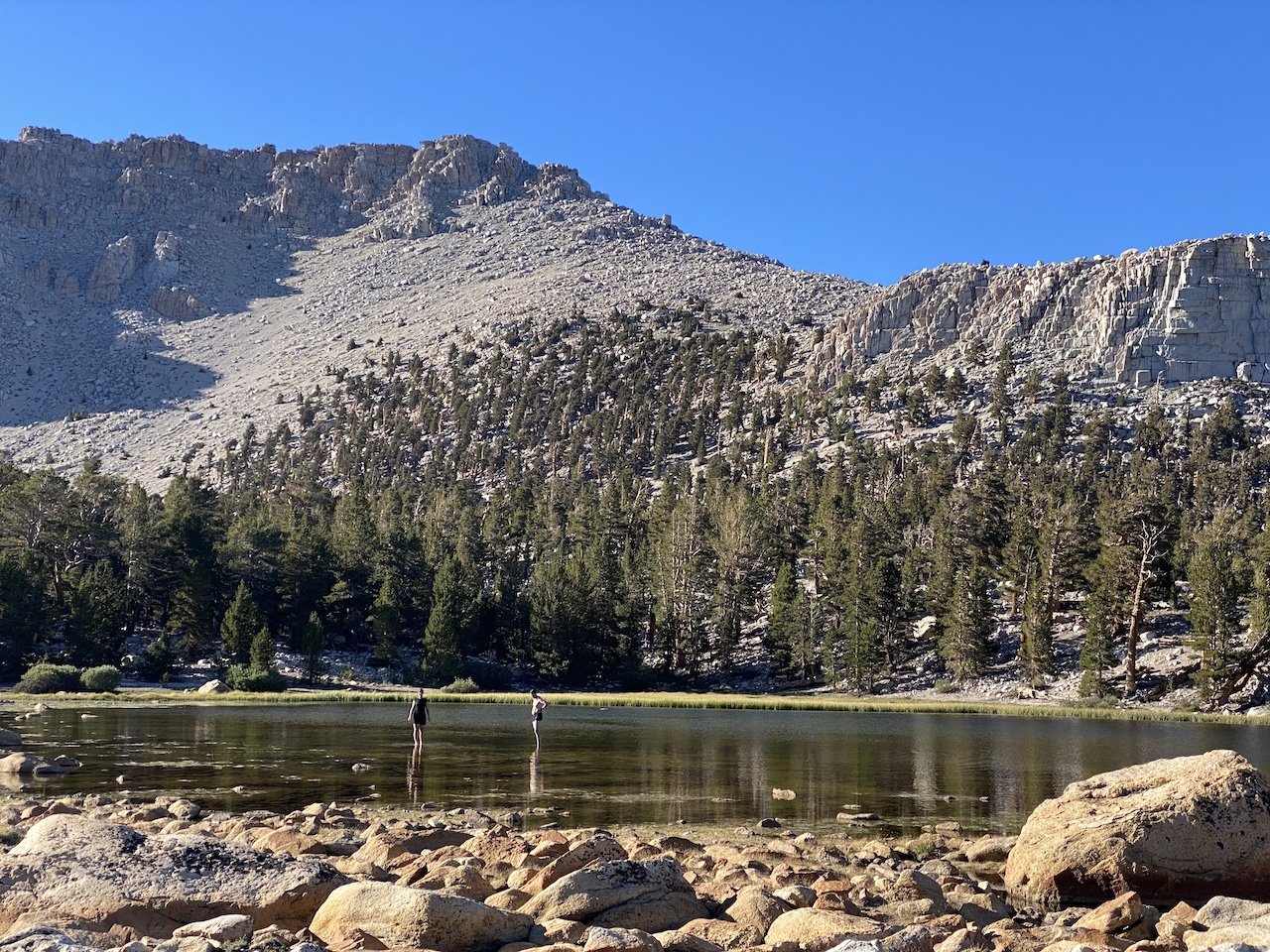
We proceeded another mile or so to camp at South Fork Lakes (11,000’) and stopped there for the night to let ourselves further acclimatize before attempting New Army Pass the following morning. We had the westernmost South Fork Lake to ourselves and enjoyed its unique and picturesque underwater rock gardens and how the changing light shifted the scenery surrounding the lakes throughout the evening.

Day 2

Picking up the trail westward, we started the day by passing Long Lake before a switchback ascent to New Army Pass (12,310’), entering into Sequoia National Park. We were greeted by several resident marmots who begged unsuccessfully for a snack. After taking in the views and exchanging high-fives, we descended gently into the sparse, granite landscape while spying views to the north toward (Old) Army Pass.

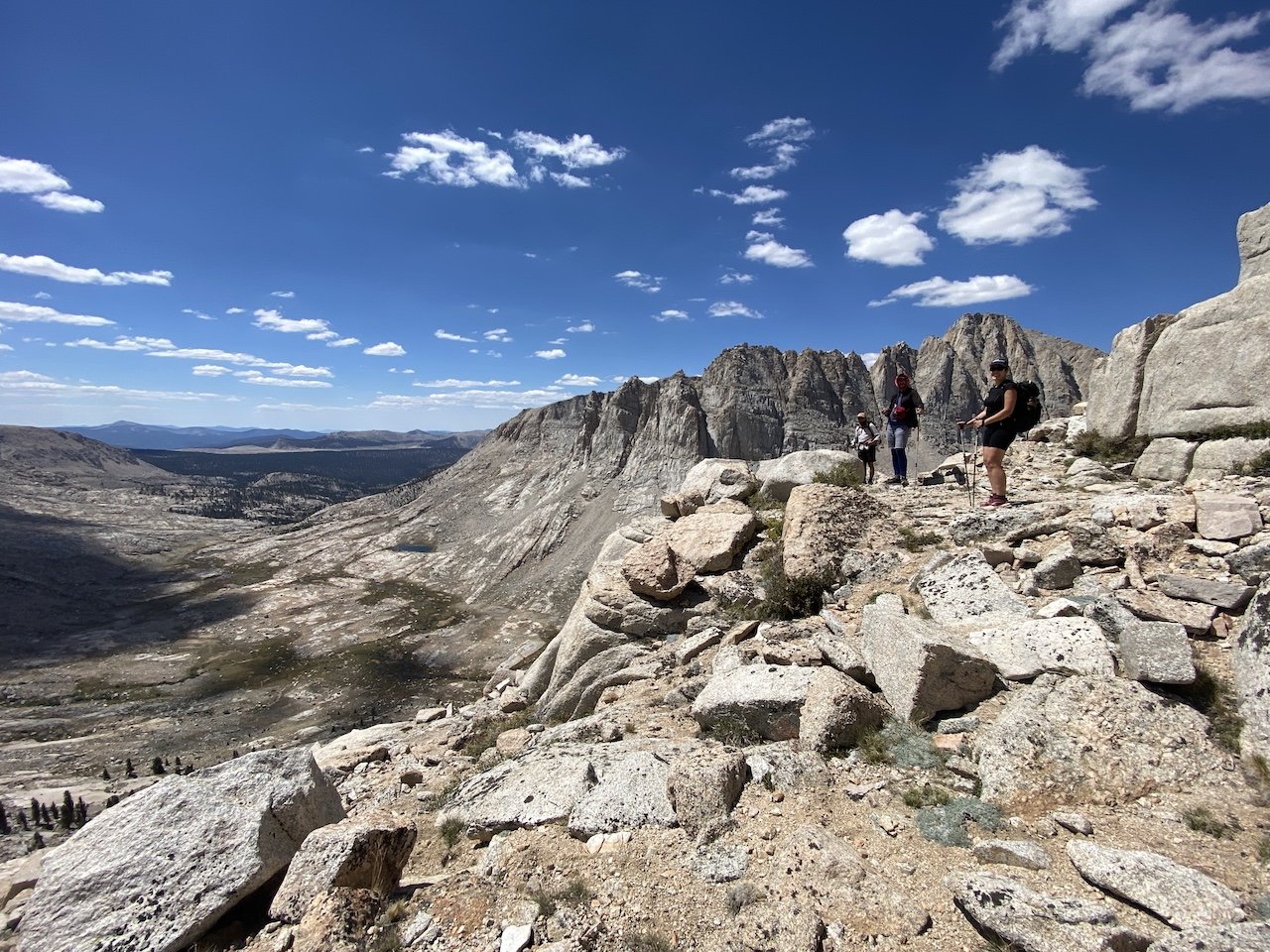
A couple of miles down, we lunched at timberline just below 11,000’ next to a tributary of Rock Creek. We then headed north, and later west, on Upper Rock Creek trail. Though a trail into Miter basin does not appear on the Tom Harrison Mount Whitney High Country map, there is a use trail heading north from the east side of the meadow at Lower Rock Creek Lake. We followed this use trail as it faded and reappeared. Route-finding is sometimes necessary, but we nevertheless found this to be a pleasant route up into Miter Basin and less of a scramble than the bushwhack up from Soldier Lake we had done in the past.

Once in Miter Basin, we proceeded about a mile and a half and found a lovely place to camp near where most maps show three streams converging like a trident. This would be home for the next two nights.

Day 3

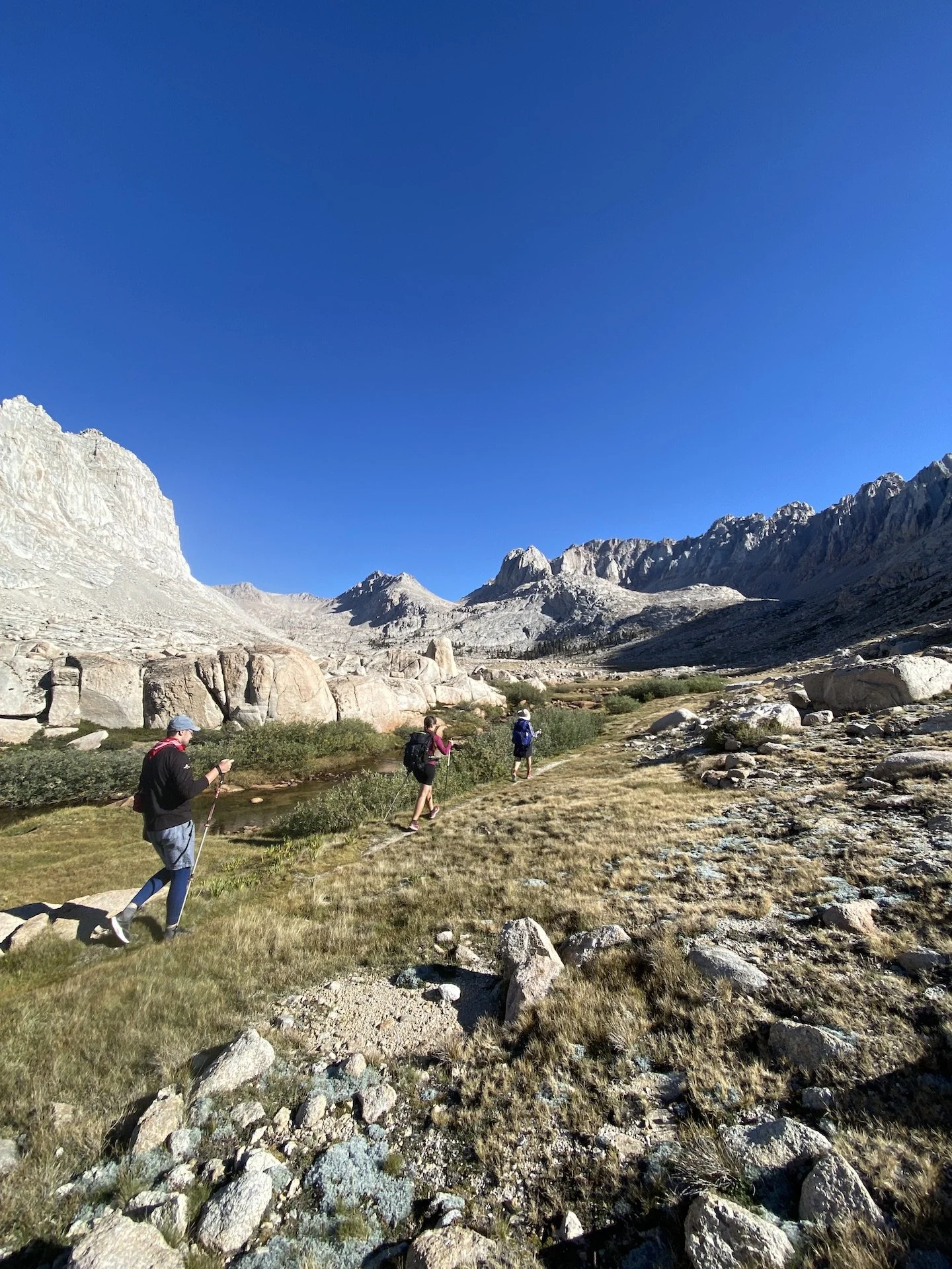
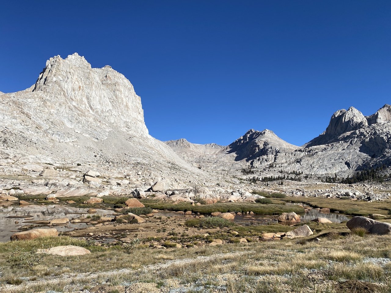
We were really looking forward to a day of putzing around the basin. Options abound, and we decided we’d start with a ramble toward Iridescent Lake. This was very much a start-and-stop day full of pauses and exclamations such as, “look at that ridiculous gorgeousness!” and “oooh, I’ve never seen such splendid combination of rock, water, and sky!”

We followed a use trail northbound along the length of the basin, and we eventually split off to head northwest along a slope to ascend nearly 1,000’ to Iridescent Lake. The landscape alternates between sparse rock and marshy meadow. Once at the lake, the color palette changes — the intense indigo of the sky reflected in the green-red-yellow-turquoise rainbow of a truly iridescent lake. We spent a couple of hours napping, taking brisk dips, and sunbathing on the lake’s south shore.

Eventually we picked ourselves up from this idyllic spot to head southwest over the saddle between Iridescent Lake and Sky Blue Lake. The saddle is immediately south of The Miter (12,770’), and it took a bit of scouting to find the best route — particularly on the descent, where some of the dropoffs on the west side are significant. While on this saddle, we looked up and saw that we were being watched by a Sierra bighorn sheep. It was our first time in our years of Sierra travel ever seeing one (though we are certain we’ve been spotted by them before!)

We spent a lazy afternoon at Sky Blue Lake, lunching and napping. Or, more accurately, most of us spent a lazy afternoon. Jana has a penchant for long-distance swimming in cold water and found Sky Blue to be irresistible. She spent a solid 20 minutes swimming shore-to-shore and back, swimming what we estimate was at least a half mile in deep, cold water. We were exhausted and breathless just watching her.

Eventually we headed south, enjoying the gardens that cropped up in between the filigree of the lake’s network of outlet streams. We stopped frequently to take in stupendous 360-degree views before returning back to camp in the early evening.

Day 4

We packed up and headed back out toward Upper Rock Creek trail, retracing our route toward a junction with Siberian Pass Trail. We filled up on water at the junction and then turned right to follow the forested trail as it climbed toward a junction with the PCT, which we joined southbound. Hiking the southwestern slopes of Cirque Peak (12,900’), we eventually left Sequoia National Park and reentered Golden Trout Wilderness. The trail loses and gains elevation until topping out at about 11,500’ before beginning a gentle switchback descent toward Chicken Spring Lake. We found good camping on the west end, quite a distance from the lake — but not before scouting for sites for a little while.

Day 5

With just a little over 5 miles to go, we packed up and headed back onto the PCT, cresting over Cottonwood Pass (11,160’) within the first mile. Leaving the PCT, we continued east through meadows, losing some 1,000’ of elevation as we neared Horseshoe Meadows. Rather than exit out Cottonwood Pass trailhead, we took a connecting trail northward through the equestrian areas which connected us back to Cottonwood Lakes trailhead, where we had started.

We drove down to Lone Pine and enjoyed a celebratory lunch, looking up at Mt. Whitney and its neighboring peaks and discussing where our next adventure might take us.

Days: 5 (Aug. 30 - Sept. 3, 2022)

Mileage: 34 mi.

Elevations: Cottonwood Lakes trailhead 10,040'; New Army Pass 12,300'; Miter Basin ~11,000’; Saddle between Iridescent and Sky Blue lakes 12,000’. Total elevation gain 5,804’.

Camp locations: westernmost South Fork Lake; Miter Basin (2 nights); Chicken Spring Lake.

View fullsize Cottonwood Lakes
Cottonwood Lakes
View fullsize IMG_6744.jpg
View fullsize IMG_6755.jpg
View fullsize IMG_6758.jpg
View fullsize Descending New Army Pass
Descending New Army Pass
View fullsize From the Miter's base
From the Miter's base
View fullsize IMG_6837.jpg
View fullsize Iridescent Lake
Iridescent Lake
View fullsize Sierra bighorn sheep
Sierra bighorn sheep
View fullsize Czech out the hikers
Czech out the hikers
View fullsize IMG_6790.jpg
View fullsize The Miter and its basin
The Miter and its basin
View fullsize IMG_6791.jpg
View fullsize IMG_6883.jpg
View fullsize IMG_6882.jpg
View fullsize IMG_6875.jpg
View fullsize IMG_6854.jpg
View fullsize IMG_6851.jpg
View fullsize Chicken Spring Lake
Chicken Spring Lake
View fullsize IMG_6890.jpg

In Travel Tags Miter, Sierra Nevada, Sierra, Eastern Sierra, Backpacking, Inyo, trip report, itinerary

Camping at Darwin Bench

Hooves on the Ground: Darwin, Evolution, and Piute Canyons via Lamarck Col and Piute Pass

September 12, 2021

As a buck, I don’t much understand what the big deal about birthdays is. The way I see it, every day spent on this earth is worth celebrating because it means I didn’t get eaten by a mountain lion or hit by a car while crossing the 405 freeway. But E+J have explained to me that for humans, celebrating yearly birthdays is an important tradition, and that’s why we generally find ourselves in the Sierra Nevada each July — to celebrate J’s birthday.

Read More
In Travel Tags Sierra Nevada, Eastern Sierra, Evolution, Backpacking, wilderness, Inyo, John Muir Wilderness, Kings Canyon, trip report, itinerary
Banner Peak and Thousand Island Lake at sunrise

Banner Peak and Thousand Island Lake at sunrise

Hooves on the Ground: Thousand Island Lake via Rush Creek

June 27, 2021

Most years we don’t hit the Sierra for a backpacking trip until July, but the changing climate means the summer backpacking season too is changing. With this year’s low snow and the likelihood of wildfires growing with each passing week, we decided we would head out for a short, last-minute trip to scratch the wanderlust itch we were left with after an off-the-beaten-path trip to Grand Canyon last month. We did some research on Sierra trails that are suitable for early season exploration and settled on this one. We hiked it June 10-12, and while we had traveled the middle portion of this route when we did the John Muir trail back in 2015, the beginning and end portions were new and intriguing to us.

Read More
In Travel Tags Sierra Nevada, Eastern Sierra, High Sierra, Ansel Adams Wilderness, Inyo, June Lake, Backpacking, trip report, itinerary

Wanderlust: Hiking on Legendary Trails

June 29, 2017

We at dearantler are honored to have contributed to the newly-published book Wanderlust: Hiking on Legendary Trails. This beautiful coffee-table book is filled with inspiration and practical tips on hiking some of the world's most enchanting trails. The John Muir Trail chapter includes many of the photos and descriptions of our 2015 JMT trek. The book is published by Berlin-based Gestalten, which has published hundreds of books on art, architecture, design, photography and typography -- and we have been busy reading it to decide which treks to plan next!

Read More
In Travel Tags John Muir Trail, Backpacking, Gestalten, Eastern Sierra, Sierra Nevada, Wanderlust, Sierra, California, John Muir Wilderness, Yosemite, Sequoia, Kings Canyon, Inyo, National Forest, national parks

Hooves on the Ground: John Muir Trail

November 6, 2015

Around Thanksgiving 2014 Edith + Jolly's friends, Kelley and Peter, casually threw out an idea: to hike the John Muir Trail. The JMT travels 220 miles through some of the most rugged and stunning mountain scenery in the world, gaining and losing some 50,000 feet of elevation from iconic Yosemite Valley to the top of Mt. Whitney, the highest point in the contiguous US (see previous Hooves on the Ground posts about exploring the Yosemite high country and Mt. Whitney). The JMT shares most of its route with the Pacific Crest Trail and is widely considered to be the most demanding and scenic portion of that much longer trail.

E+J were more than intrigued: they were up for the challenge. Months of preparation ensued. Permits were secured. Books were read. Maps were studied. The vast resources of the interweb were consulted. Gear was upgraded. Calories were counted. Resupply packages were assembled. Routes were planned. Bodies were trained. Minds were prepared.

Read More
In Travel Tags Backpacking, Thru-hiking, John Muir Trail, Yosemite, Eastern Sierra, Sierra Nevada, Kings Canyon, Sequoia, John Muir Wilderness, Mount Whitney, Mountains, Ansel Adams Wilderness, Inyo, Sierra, Hooves on the Ground, trip report, itinerary
2 Comments
Dear Antlerby Jedediah Cornelius Antler"The buck stops here."The advice and musings of the swankiest eight-point buck you'll ever meet.

Dear Antler

by Jedediah Cornelius Antler

"The buck stops here."

The advice and musings of the swankiest eight-point buck you'll ever meet.


See all art posts

See all travel posts

Subscribe

 Be a true "Jedhead" and sign up for our mailing list here. 

We respect your privacy. Truly

Jed says thank you!


blog
Hooves on the Ground: Onion Valley to Sixty Lake Basin and Col
about 9 months ago
Hooves on the Ground: Grand Canyon's Clear Creek Trail and Cheyava Falls
about a year ago
Hooves on the Ground: Miter Basin
about a year ago
Hooves on the Ground: Tyee/Midnight/Hungry Packer Lakes, John Muir Wilderness
about a year ago
Hooves on the Ground: Yosemite's Murphy Creek to Tuolumne Crest in the early season
about a year ago
Hooves on the Ground: Grand Canyon's Tanner Trail and Escalante Route
about 2 years ago
Hooves on the Ground: Mineral King Loop via Timber Gap and Lost Canyon
about 2 years ago
Hooves on the Ground: Darwin, Evolution, and Piute Canyons via Lamarck Col and Piute Pass
about 3 years ago
Hooves on the Ground: Thousand Island Lake via Rush Creek
about 3 years ago
Hooves on the Ground: Grand Canyon's Hermit-Boucher Loop
about 4 years ago
Elements of Existence
about 4 years ago
Spellbound | Wanderings Through the Witching Hour
about 4 years ago
Hooves on the Ground: Yosemite's Grand Canyon of the Tuolumne and Old Big Oak Flat Road to El Capitan
about 4 years ago
Psyche | Introspections In an Era of Uncertainty
about 4 years ago
Hooves on the Ground: Death Valley Albatross Plane Crash Site
about 5 years ago
Hooves on the Ground: High Sierra Trail
about 5 years ago
Suspension
about 6 years ago
Hooves on the Ground: Nepal
about 6 years ago
Hooves on the Ground: Cottonwood Pass and Lakes Loop (Miter Basin and Mt. Langley)
about 6 years ago
The Troubles We Carry
about 7 years ago

© dearantler 2013-2024. All rights reserved.