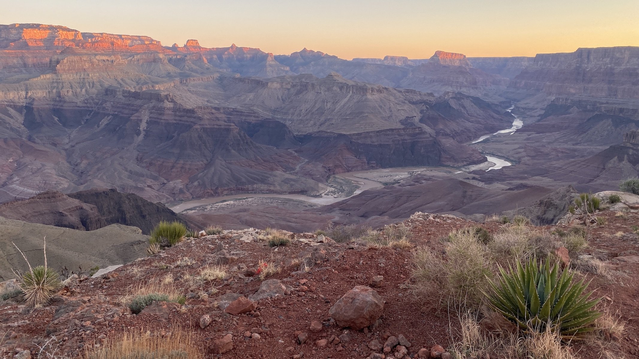
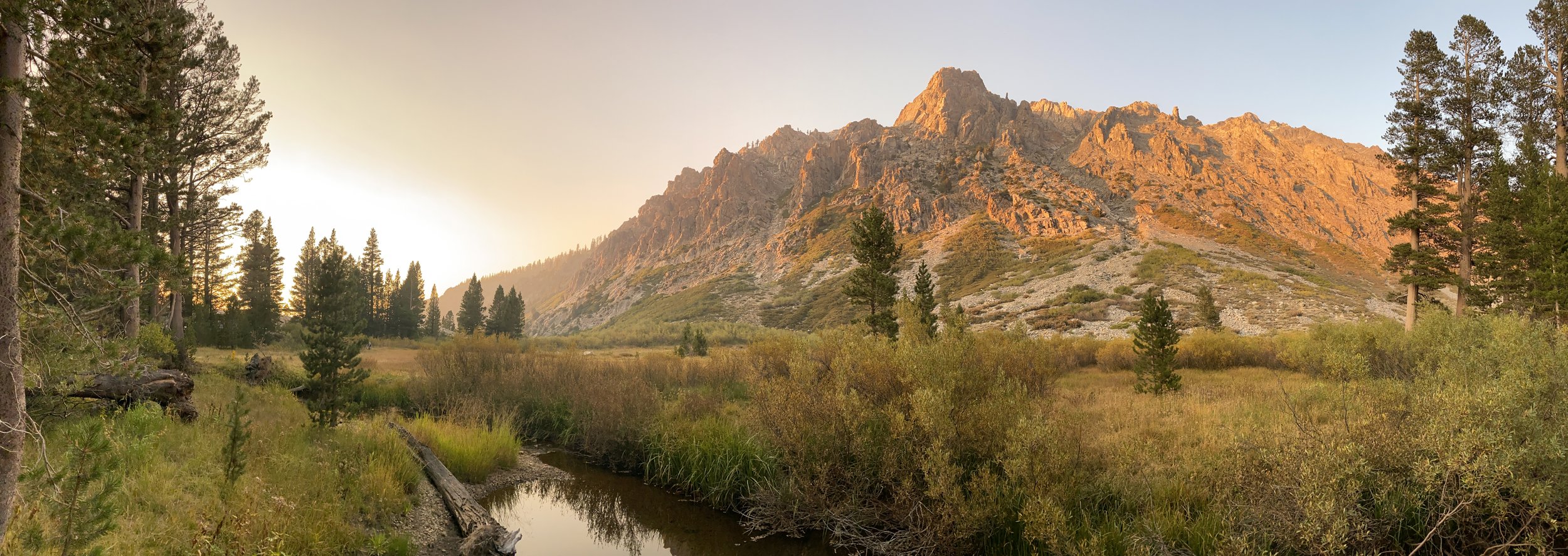
When the Sierra speaks, it’s hard to argue. The HST is a historic traverse of the Range of Light from the verdant and gentle lands at Crescent Meadow in Sequoia National Park’s Giant Forest, to the rugged, weather-beaten escarpments of majestic Mt. Whitney, the highest point in the contiguous U.S. So without further ado, we decided to hike the High Sierra Trail with our pal Torin and see this wonderful stretch of land with our own eyes.
Read MoreIn the latest dearantler show, we pay homage to nature's grandest cathedrals, its most heavenward sacred spaces: mountains. From the most inviting and verdant summits, to inhospitable thin-aired peaks far above timberline, mountains offer weary human souls a dose of the grandiose, a chance for renewal, a baptismal reconnection to our primeval roots of wandering lands high and low.
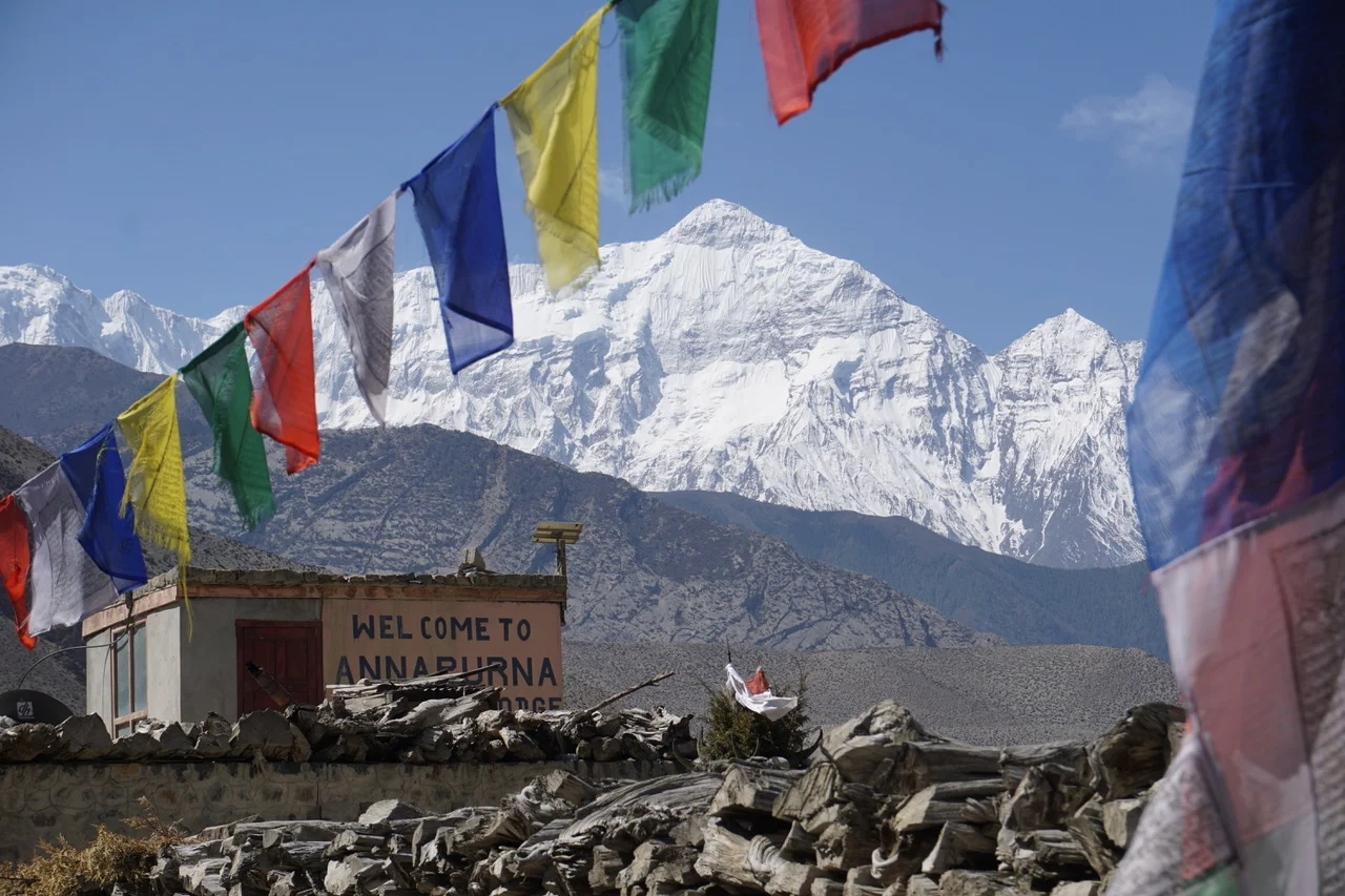
Read MoreIn my book, one way to define good friendship is having friends that push you to new heights and experiences. E+J's Utah buds Christine and James, who live at the doorstep to Zion National Park, have proven their good friendship many times. Most recently, they invited E+J to join them for a trip to Perú. E+J were instantly intrigued and up to the challenge of figuring out logistics and finances to make the trip a reality. And so they did.
I sat this trip out given the difficulty of transporting a full-grown buck with an enormous rack by airplane. Below E recounts the trip as she and J experienced it.
Read MoreAround Thanksgiving 2014 Edith + Jolly's friends, Kelley and Peter, casually threw out an idea: to hike the John Muir Trail. The JMT travels 220 miles through some of the most rugged and stunning mountain scenery in the world, gaining and losing some 50,000 feet of elevation from iconic Yosemite Valley to the top of Mt. Whitney, the highest point in the contiguous US (see previous Hooves on the Ground posts about exploring the Yosemite high country and Mt. Whitney). The JMT shares most of its route with the Pacific Crest Trail and is widely considered to be the most demanding and scenic portion of that much longer trail.
E+J were more than intrigued: they were up for the challenge. Months of preparation ensued. Permits were secured. Books were read. Maps were studied. The vast resources of the interweb were consulted. Gear was upgraded. Calories were counted. Resupply packages were assembled. Routes were planned. Bodies were trained. Minds were prepared.
Read MoreWith summer winding down and higher elevations soon becoming inhospitable and inaccessible, we set out for an impromptu trip to Southern California's tallest peak, San Gorgonio Mountain. "Old Grayback," as it's nicknamed, is in the San Bernardino Mountains and is part of an expansive wilderness (home to many of my deer relatives) about 10 miles southeast of Big Bear Lake and 20 miles northwest of Palm Springs.
There are many different trails to the summit, which is a popular destination with hikers training their legs and lungs for Mt. Whitney. E+J and I did an overnighter and decided the shortest but steepest route was the way to go. But enough of this buck's prose. Following is how E experienced the mountain (as recorded in her travel journal), and how J saw it (in photographs).
Read MoreDear Antler,
I've been hearing quite a bit about the photo published in this month's National Geographic magazine of the famous Griffith Park mountain lion. I admit that members of my species haven't always treated you and your deer relatives with the utmost respect, but we nevertheless consider you the unofficial mayor of the Santa Monica Mountains. As such, I'm curious to ask -- what do you know about this? Should members of my and your species be on heightened alert?
Sincerely,
Walter Coyote
Read More


