
• blog
  • gallery
  • curatorial
  • shop
  • archive
  • about
Menu

dearantler

  • blog
  • gallery
  • curatorial
  • shop
  • archive
  • about
Featured
IMG_3004 2.JPG
Travel
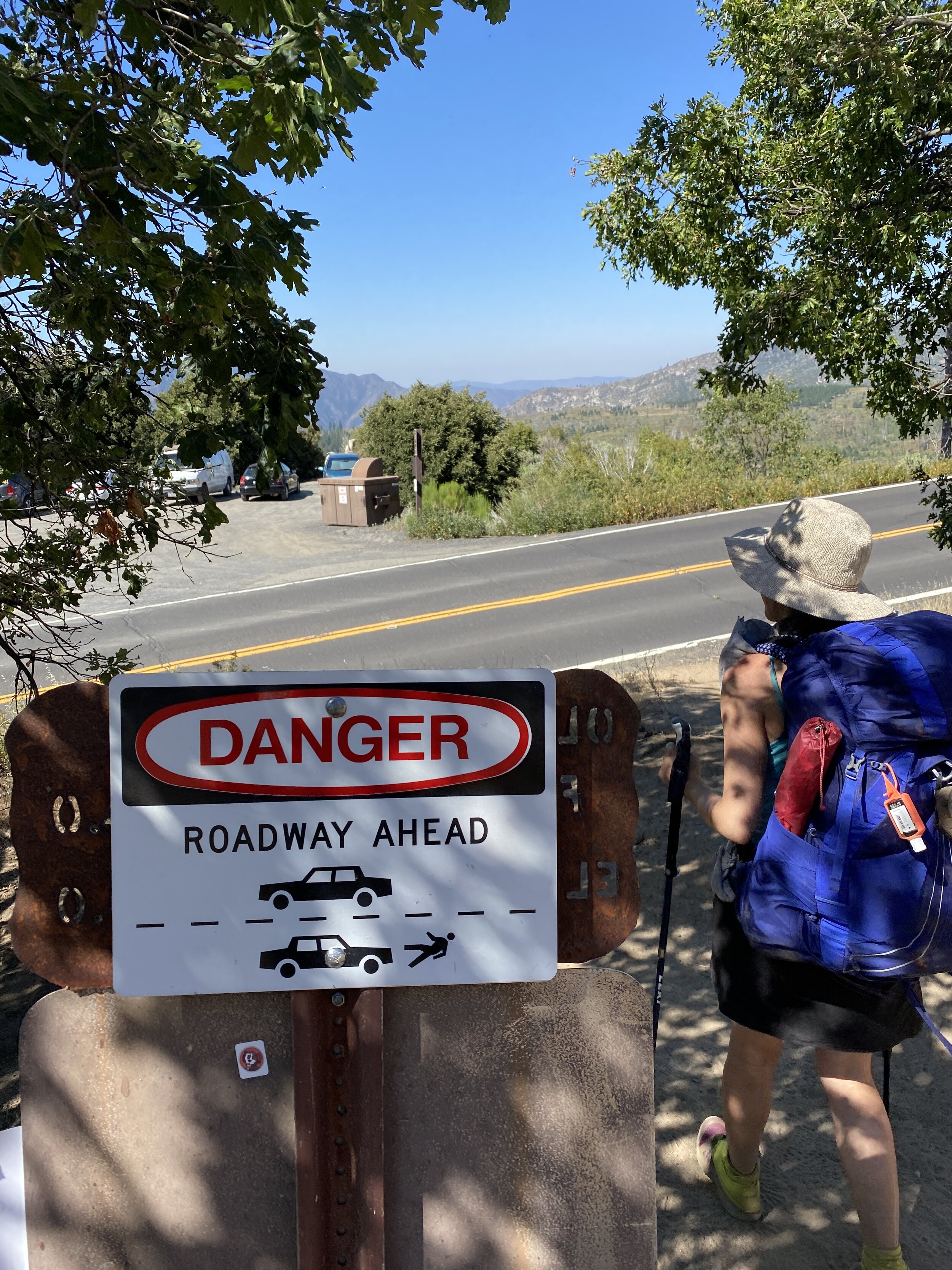
Hooves on the Ground: Onion Valley to Sixty Lake Basin and Col
Travel
Read more →
Travel
IMG_8926.JPG
Travel
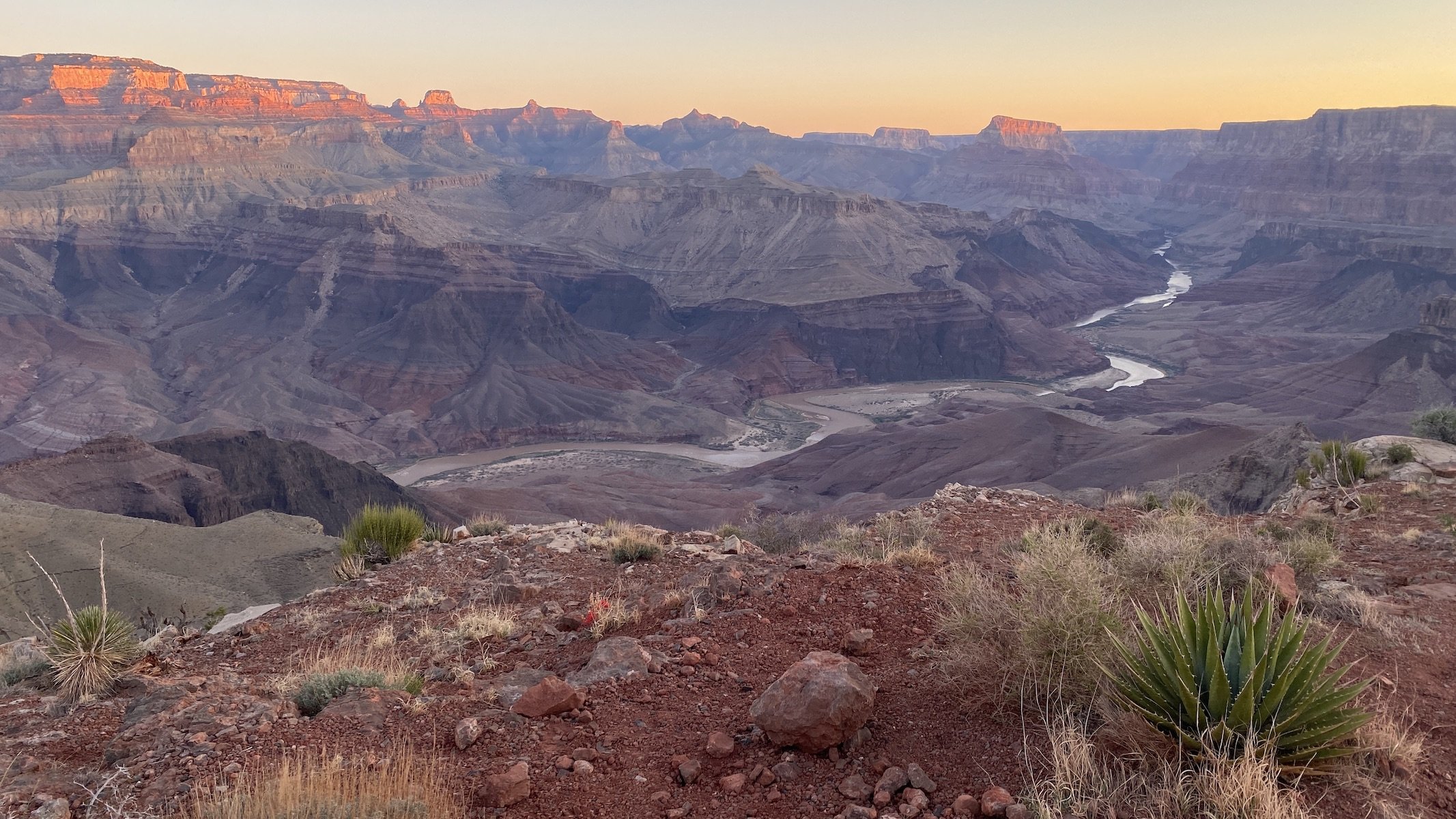
Hooves on the Ground: Grand Canyon's Clear Creek Trail and Cheyava Falls
Travel
Read more →
Travel
IMG_6880.jpg
Travel
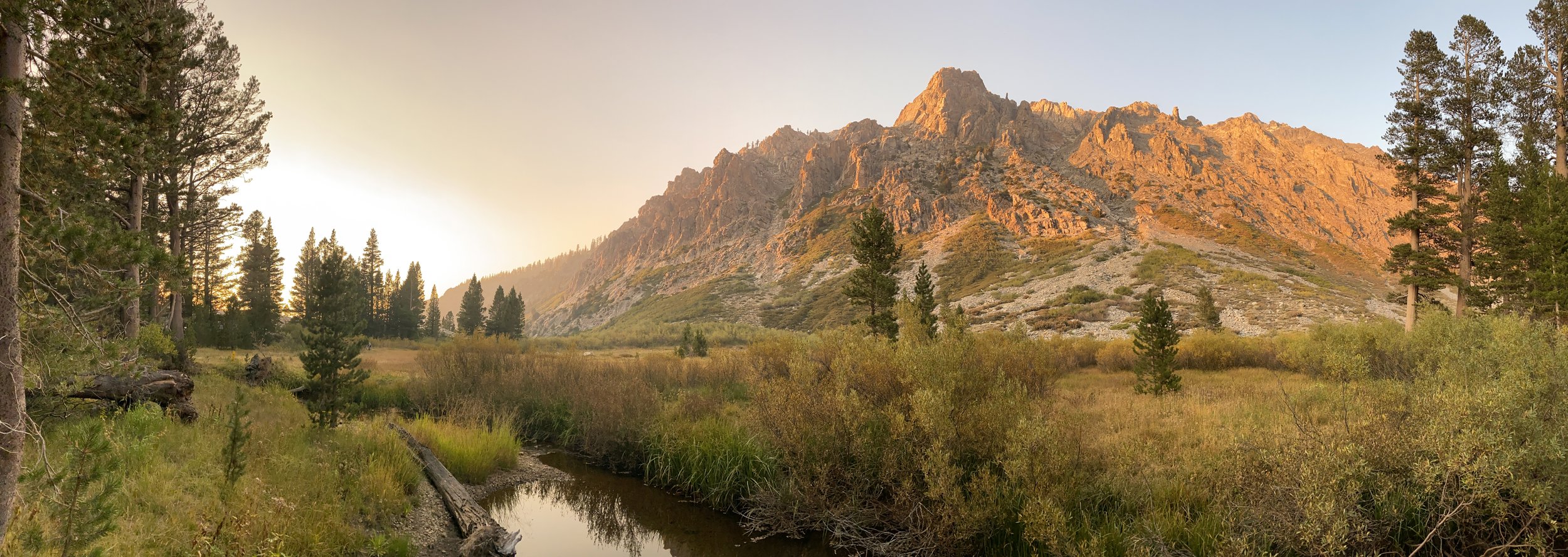
Hooves on the Ground: Miter Basin
Travel
Read more →
Travel
IMG_6422.jpg
Travel
Hooves on the Ground: Tyee/Midnight/Hungry Packer Lakes, John Muir Wilderness
Travel
Read more →
Travel
IMG_5896.jpg
Travel
Hooves on the Ground: Yosemite's Murphy Creek to Tuolumne Crest in the early season
Travel
Read more →
Travel
IMG_5334 2.jpg
Travel
Hooves on the Ground: Grand Canyon's Tanner Trail and Escalante Route
Travel
Read more →
Travel
IMG_3418.JPG
Travel
Hooves on the Ground: Mineral King Loop via Timber Gap and Lost Canyon
Travel
Read more →
Travel
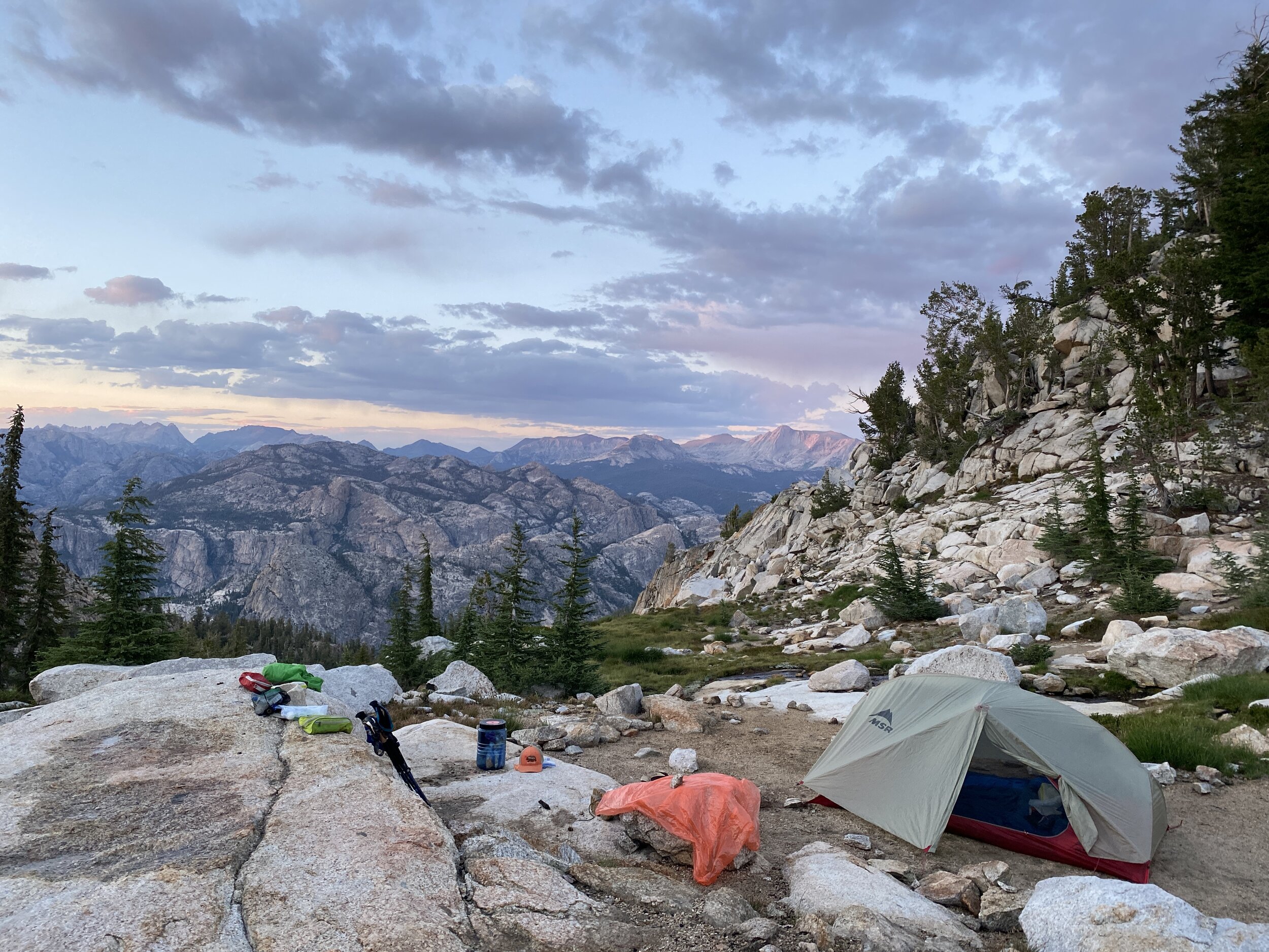
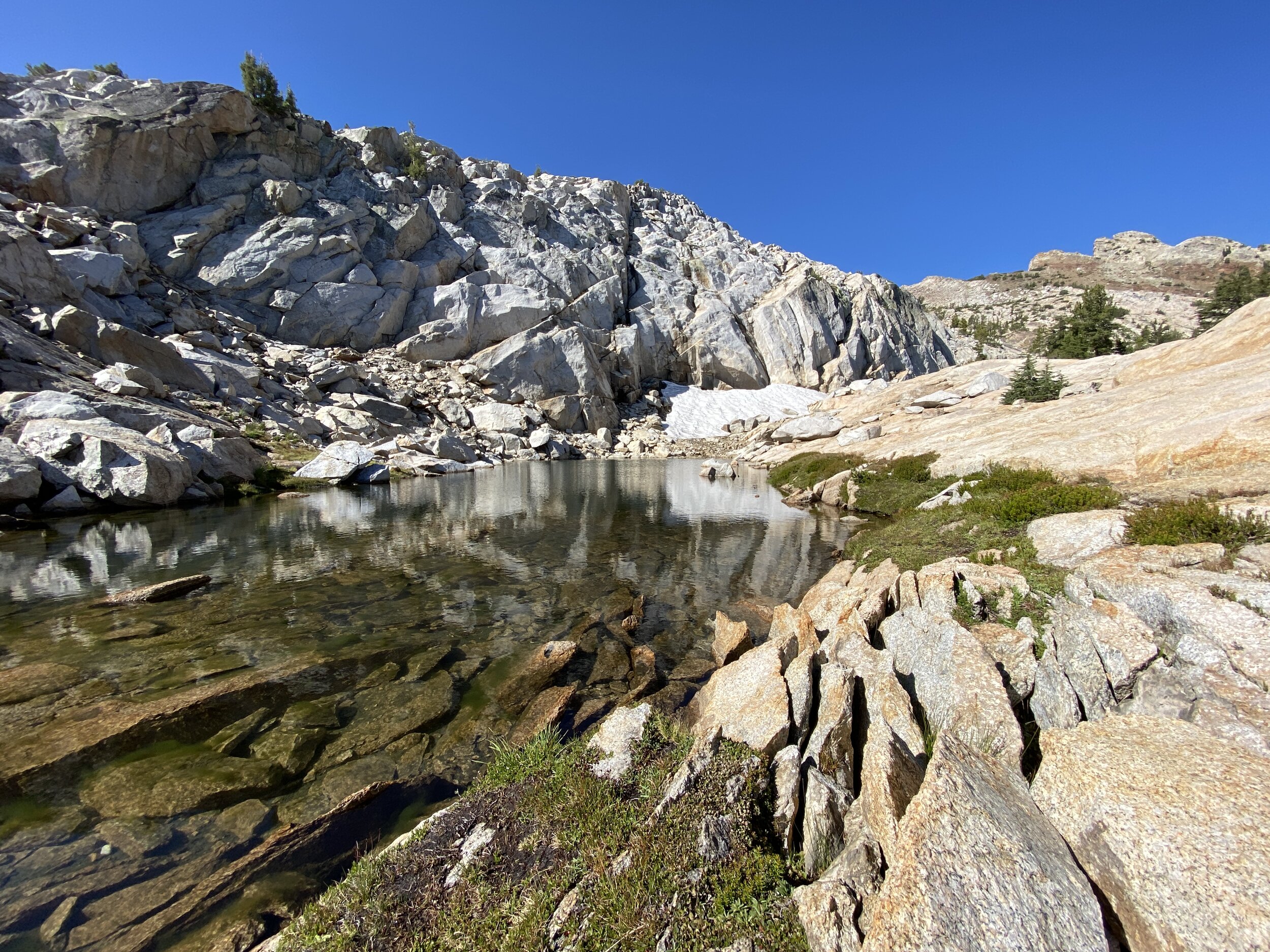
Hooves on the Ground: Darwin, Evolution, and Piute Canyons via Lamarck Col and Piute Pass
Travel
Hooves on the Ground: Darwin, Evolution, and Piute Canyons via Lamarck Col and Piute Pass
Travel

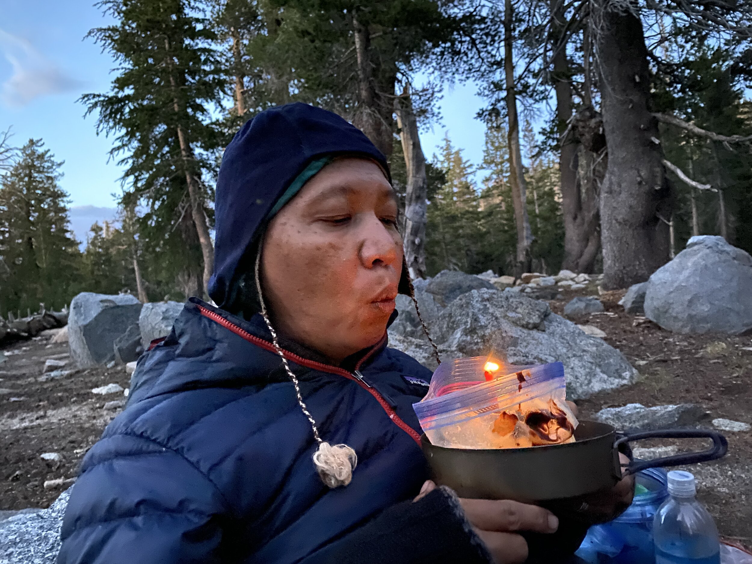
As a buck, I don’t much understand what the big deal about birthdays is. The way I see it, every day spent on this earth is worth celebrating because it means I didn’t get eaten by a mountain lion or hit by a car while crossing the 405 freeway. But E+J have explained to me that for humans, celebrating yearly birthdays is an important tradition, and that’s why we generally find ourselves in the Sierra Nevada each July — to celebrate J’s birthday.

Read more →
Travel
ThousandIsland.jpg
Travel
Hooves on the Ground: Thousand Island Lake via Rush Creek
Travel

Most years we don’t hit the Sierra for a backpacking trip until July, but the changing climate means the summer backpacking season too is changing. With this year’s low snow and the likelihood of wildfires growing with each passing week, we decided we would head out for a short, last-minute trip to scratch the wanderlust itch we were left with after an off-the-beaten-path trip to Grand Canyon last month. We did some research on Sierra trails that are suitable for early season exploration and settled on this one. We hiked it June 10-12, and while we had traveled the middle portion of this route when we did the John Muir trail back in 2015, the beginning and end portions were new and intriguing to us.

Read more →
Travel
IMG_3348.JPG
Travel
Hooves on the Ground: Grand Canyon's Hermit-Boucher Loop
Travel

A backpacking trip to the Grand Canyon was an annual tradition for us for 6 years starting in 2013 — we’ve written about permitting and preparing for these various routes in the past. But in 2018 E went back to school for her Ph.D., which meant that the favorable travel seasons of spring and fall would present a conflict with school. We finally returned in 2021.

As a mule deer, this is among the parks I really enjoy visiting because I am right at home with my fellow hoofed brethren — other deer, elk, and big horn sheep. No one raises an eyebrow when I saunter past. They just think I am part of the mix of wildlife, having no way of knowing they are actually standing eye-to-shoulder with a cosmopolitan, well-traveled buck.

Read more →
Travel
DEARANTLER-SLIDER-2-1.png
Art
Elements of Existence
Art

We are honored that a new exhibit showcasing dearantler’s work will be showing online and in-person by appointment at Avenue 50 Studio from April 17 through May 29. Elements of Existence explores our collective relationship with nature through the lens of the four classical elements -- water, earth, fire, air -- with each element represented on one of the four walls in Avenue 50 Studio's intimate Annex Room. In all, eighty-one paintings, watercolors, and prints offer an homage to nature's therapeutic beauty while also prompting us to examine our misuse of natural resources and our impact on flora, fauna, ecosystems, and our fellow humans in this, our only home. From finding wonder in nature to witnessing catastrophic extremes of rising sea levels and unprecedented wildfires, Elements of Existence offers an array of musings on our past, current, and possible future relationships to all that sustains us on planet Earth.

Read more →
Art
spellbound banner.png
Art
Spellbound | Wanderings Through the Witching Hour
Art

Something stirs you awake during the blue hour, and you can’t be sure if you heard a sound or if your mind is projecting. You are alone but you feel a presence other than your own. Is it benevolent? Is it trying to tell you something? Your eyes are heavy and you drift between waking and dreaming. Is your half-awake, half-asleep state dulling or sharpening your senses? Is this hypnagogic state a doorway to a different reality?

In the latest show from dearantler we wander through the witching hour. Come along as we surrender to the night, open the door to the supernatural, explore the land of dreams, and commune with the impossible.

Read more →
Art
IMG_0889.jpg
Travel
Hooves on the Ground: Yosemite's Grand Canyon of the Tuolumne and Old Big Oak Flat Road to El Capitan
Travel

This is an unusual year for everything, including (and perhaps especially) travel. With California under stay-at-home orders for the first few months of the COVID-19 pandemic, we stuck to day hiking near home and we visited many parts of the Angeles National Forest that we had never before explored, which led us to fall in love with LA and its roomy backyard all over again.

Read more →
Travel
psyche.jpg
Art
Psyche | Introspections In an Era of Uncertainty
Art

The COVID-19 pandemic has turned the world inside out. In one fell swoop, the very nature of human connection has been rewritten. Stay-at-home orders have been imposed in cities around the world. Second-nature expressions like handshakes and hugs are a strange and distant memory. Terms like social distancing, lockdown, quarantine, and droplets (currently our least favorite word in the English language) have invaded the parlance of our times and taken root. A public health disaster whose only logical remedy is an adherence to science and data has been grossly politicized. Moral quandaries usually reserved for academic halls of philosophy are playing out the world over, pinning public health outcomes against economic well-being. The most vulnerable members of our global society — including the elderly and those living in minority communities — are dying in disproportionate numbers while medical staff are literally ill-equipped to prevent it. Patients die alone, their loved ones unable to visit them. Unemployment rates climb past Depression-era highs. On every continent, people are self-isolating while time slows and blurs.

Read more →
Art
LRG_DSC06553.JPG
Travel
Hooves on the Ground: Death Valley Albatross Plane Crash Site
Travel

Death Valley National Park is a vast land full of surprises waiting to be discovered and explored. From the lowest point in North America at Badwater Basin (282 ft. below sea level) to Telescope Peak (11,049 ft.), Death Valley encompasses multiple mountain ranges, valleys, and countless canyons that offer a giant playground for exploring fascinating geology, jaw-dropping terrain, and interesting human and natural history. As the largest national park outside of Alaska, it offers limitless opportunities for exploration and is one of our favorite places to visit.

Read more →
Travel
HST map illustration.JPG
Travel
Hooves on the Ground: High Sierra Trail
Travel

When the Sierra speaks, it’s hard to argue. The HST is a historic traverse of the Range of Light from the verdant and gentle lands at Crescent Meadow in Sequoia National Park’s Giant Forest, to the rugged, weather-beaten escarpments of majestic Mt. Whitney, the highest point in the contiguous U.S. So without further ado, we decided to hike the High Sierra Trail with our pal Torin and see this wonderful stretch of land with our own eyes.

Read more →
Travel
Suspension.png
Art
Suspension
Art

A couple of years ago we were invited to contribute to the hiking book Wanderlust: Hiking on Legendary Trails with photos and descriptions of our 2015 trek of the John Muir Trail. It’s a beautiful coffee-table book that will make any hiker salivate. Flipping through its pages, we fell in love with many trails around the world, but one in particular seemed to beckon more strongly than the rest: the Annapurna Circuit.

Read more →
Art
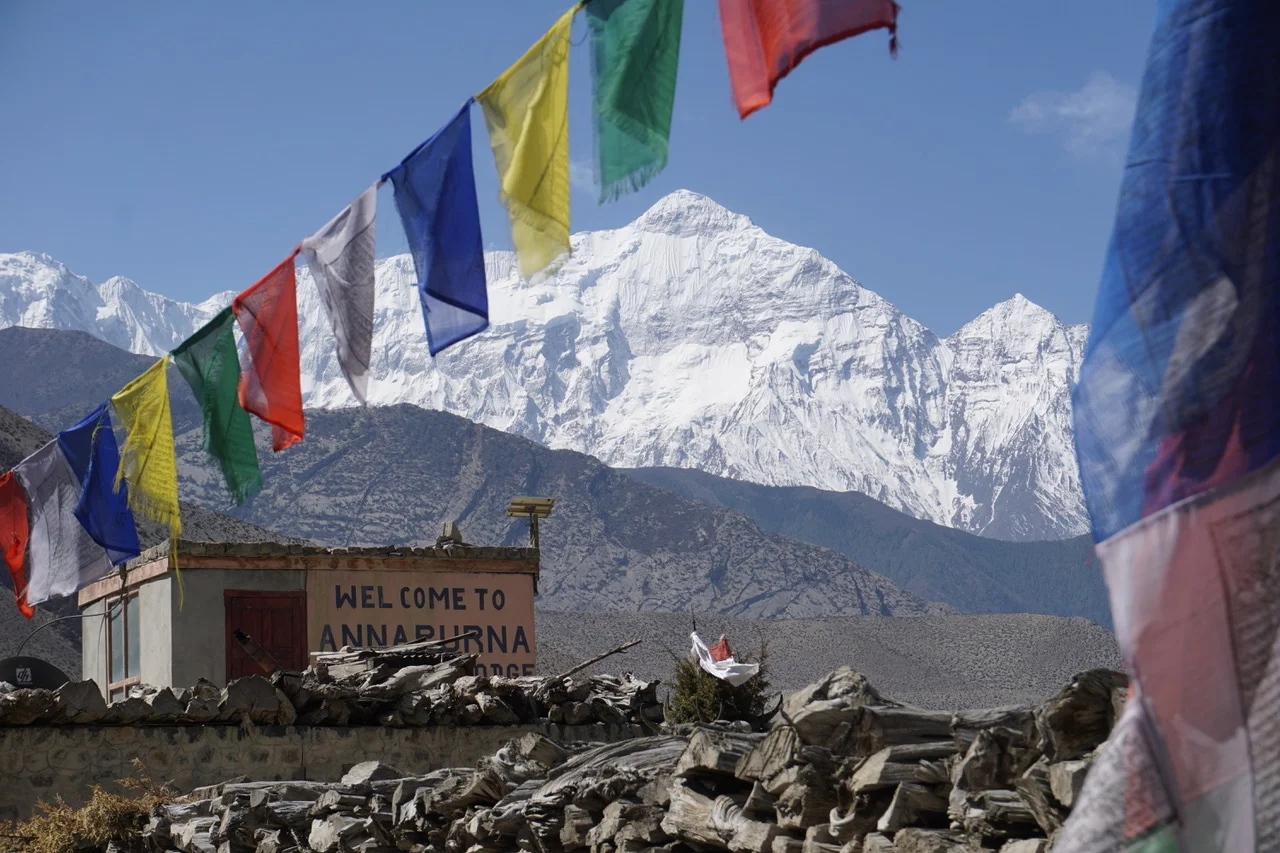
Hooves on the Ground: Nepal
Travel
Hooves on the Ground: Nepal
Travel

When we decided to trek the Annapurna Circuit, J and I had imagined we would have short hiking days with time to spare at the end of each day. Not so. And so I carried a notebook, a novel, and watercolors up and down the world’s highest mountain range and am just now documenting the trip. Now I find myself in the position of recapping an indescribably new and rich set of experiences that occurred over nearly three weeks, with no real idea of how I’m going to do them justice in retrospect, when words are a poor substitute for the real thing.

Read more →
Travel
Hooves on the Ground: Cottonwood Pass and Lakes Loop (Miter Basin and Mt. Langley)
Travel
Hooves on the Ground: Cottonwood Pass and Lakes Loop (Miter Basin and Mt. Langley)
Travel

It's a lucky thing to live in California and have an excuse to visit the High Sierra in late July. Our excuse: J's birthday is July 26 -- prime time to get into those higher elevations. Every year, we make it a point to reserve a few days (or weeks) out of the summer calendar to explore a portion of the Sierra's endless network of trails. This time around we were in the mood for a shorter trek with day hiking and cross-country options for going away from camp. This loop fit the bill perfectly.

Read more →
Travel
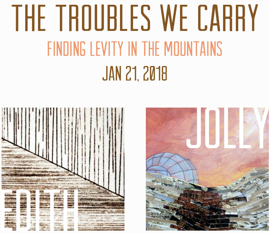
The Troubles We Carry
Art
The Troubles We Carry
Art

In the latest dearantler show, we pay homage to nature's grandest cathedrals, its most heavenward sacred spaces: mountains. From the most inviting and verdant summits, to inhospitable thin-aired peaks far above timberline, mountains offer weary human souls a dose of the grandiose, a chance for renewal, a baptismal reconnection to our primeval roots of wandering lands high and low. 

Read more →
Art
Hooves on the Ground: South Lake to North Lake (Evolution Loop)
Travel
Hooves on the Ground: South Lake to North Lake (Evolution Loop)
Travel

If the John Muir Trail is the crown jewel of the Pacific Crest Trail, then the Evolution Basin and Valley are perhaps the most strikingly-sculpted gem to be carefully placed in that jewel. One bite of the Evolution area is liable to infect any passerby, causing even the most mileage-minded thru-hiker to slow down and soak in the absurdly stunning combinations of rock, water and sky.

Read more →
Travel
Travel
Hooves on the Ground: Grand Canyon
Travel

A few years ago we found ourselves in Grand Canyon during the last week of April. We tried for and were issued a walk-up permit to backpack down into the Canyon, spending a few blissful days and nights soaking in its grandeur. Right then and there we got hooked on the splendor and intimacy of a trek below the rim. And so every last week of April since, we have made it a point to return to that big crack in the earth and tackle a below-the-rim route. 

Read more →
Travel
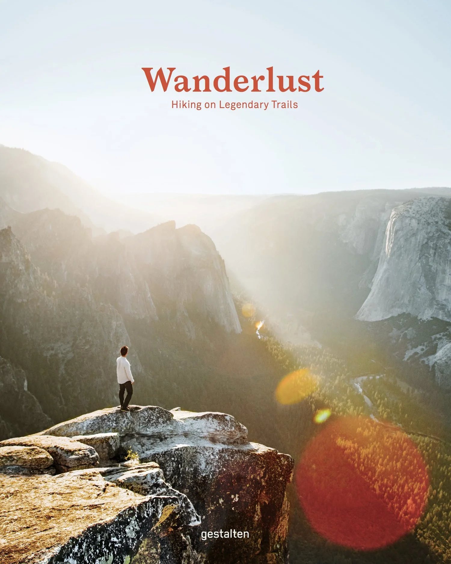
Wanderlust: Hiking on Legendary Trails
Travel
Wanderlust: Hiking on Legendary Trails
Travel

We at dearantler are honored to have contributed to the newly-published book Wanderlust: Hiking on Legendary Trails. This beautiful coffee-table book is filled with inspiration and practical tips on hiking some of the world's most enchanting trails. The John Muir Trail chapter includes many of the photos and descriptions of our 2015 JMT trek. The book is published by Berlin-based Gestalten, which has published hundreds of books on art, architecture, design, photography and typography -- and we have been busy reading it to decide which treks to plan next!

Read more →
Travel
Peru+Map.jpg
Travel
Hooves on the Ground: Perú
Travel

In my book, one way to define good friendship is having friends that push you to new heights and experiences. E+J's Utah buds Christine and James, who live at the doorstep to Zion National Park, have proven their good friendship many times. Most recently, they invited E+J to join them for a trip to Perú. E+J were instantly intrigued and up to the challenge of figuring out logistics and finances to make the trip a reality. And so they did. 

I sat this trip out given the difficulty of transporting a full-grown buck with an enormous rack by airplane.  Below E recounts the trip as she and J experienced it. 

Read more →
Travel
Art
Notorious/Glorious
Art

In the latest dearantler show we attempt to convey the indescribable allure that the desert has for us. My deer relatives, accustomed to the nourishing bounty of Southern California's oak woodlands and chaparral-covered hills, turn their ears away whenever I sing the desert's praises. E+J tell me that their human brethren often greet them with similar disinterest, asking questions like: "What's so special about the desert? Isn't there just a whole lot of nothing out there?" 

Read more →
Art
Art
dearantler turns 3!
Art
Read more →
Art
Art
Music Video for Sara Lov's 'Rain Up'
Art

We are honored to share with you the brand-new video we helped create for Sara Lov's stunningly beautiful song 'Rain Up.' We have been fans of Sara's hauntingly gorgeous music since the early 2000s, when she and Dustin O'Halloran created one great album after another under the Devics moniker. O'Halloran co-wrote 'Rain Up' with Sara.

The video premieres today on Flood Magazine.

Read more →
Art
Travel
Hooves on the Ground: The Palisades
Travel

Just four hours from Los Angeles and a few miles in by trail lies a stunning landscape of 14,000-foot mountains, milky-turquoise lakes, and the largest glacier in the Sierra Nevada. We visited in mid-September and were at once humbled by the beauty, enormity and variety of features within easy reach for even a beginning backpacker.

Read more →
Travel
Travel
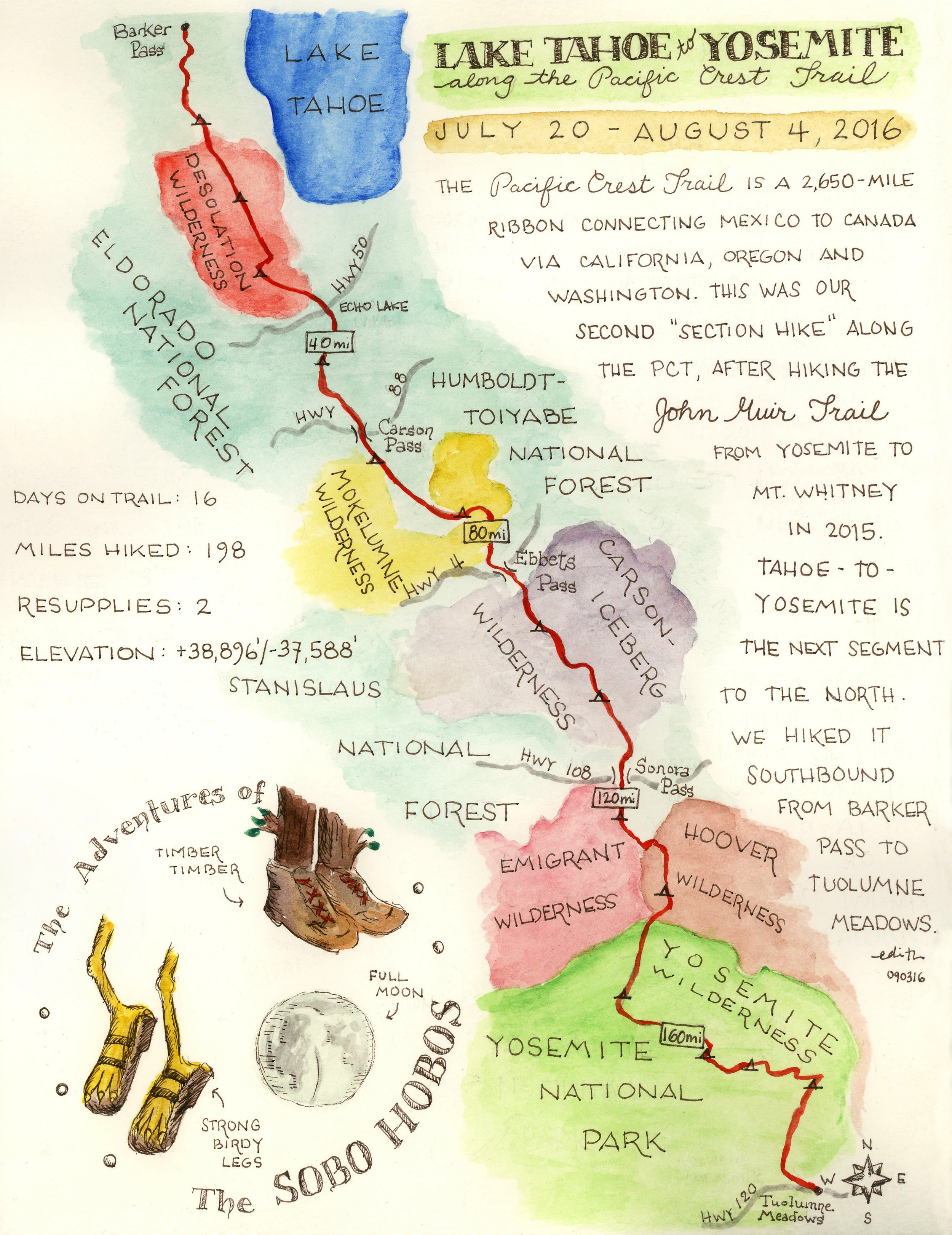
Hooves on the Ground: Tahoe to Yosemite Along the Pacific Crest Trail
Travel

Having successfully completed the John Muir Trail in 2015, we were looking to get back out to the Sierra Nevada for another thru-hike this summer. After some consideration of the many options the Sierra affords, we decided to tackle the next section of the Pacific Crest Trail north of the JMT (the JMT itself overlaps with the PCT for most of its length). Starting at Barker Pass, in the northwest Lake Tahoe area, this section travels nearly 200 miles to Yosemite’s Tuolumne Meadows. Along the way, it passes innumerable lakes, creeks and streams, crosses several roads and highways, climbs up and down numerous mountain passes.

Read more →
Travel
Art
Strangers On A Trail
Art

Another year passes and we find ourselves at summer's doorstep once more. California is fortunate to have year-round access to the outdoors -- but even in the land of never-ending exploration opportunities, summer affords special access to some of the most incredible places this state has on offer. Among these are the Sierra Nevada Mountains -- the Range of Light, as John Muir called it. At 400 miles long -- from Tehachapi Pass in Kern County, to Fredonyer Pass in Lassen County -- the Sierra is home to three national parks (Yosemite, Sequoia and Kings Canyon), 20 wilderness areas, and many other iconic features, including Lake Tahoe and Mount Whitney. 

Many consider the John Muir Trail to be the crown jewel of this spectacular mountain range. Even a well-traveled buck like me would be hard pressed to find a land to match its awe-inspiring magnificence. And so, with summer here once again, we pay homage to this stunning 220-mile ribbon of trail in the hopes of inspiring others to breathe its therapeutic air, see its exhilirating sites and feel its recuperative effects. 

Read more →
Art
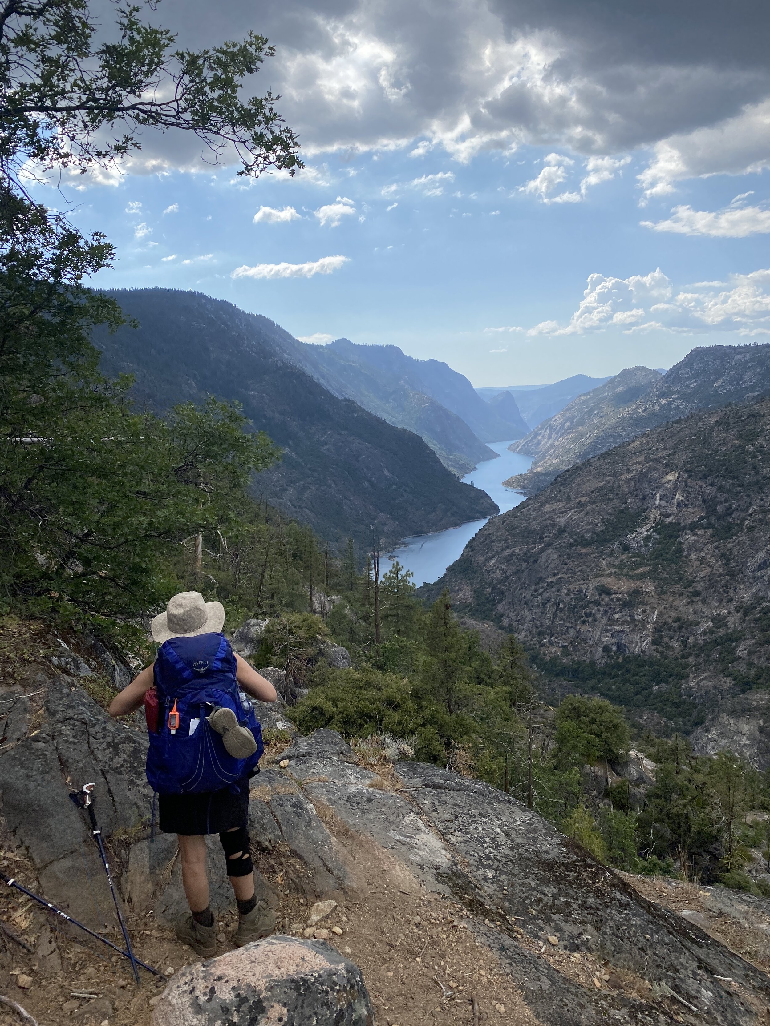
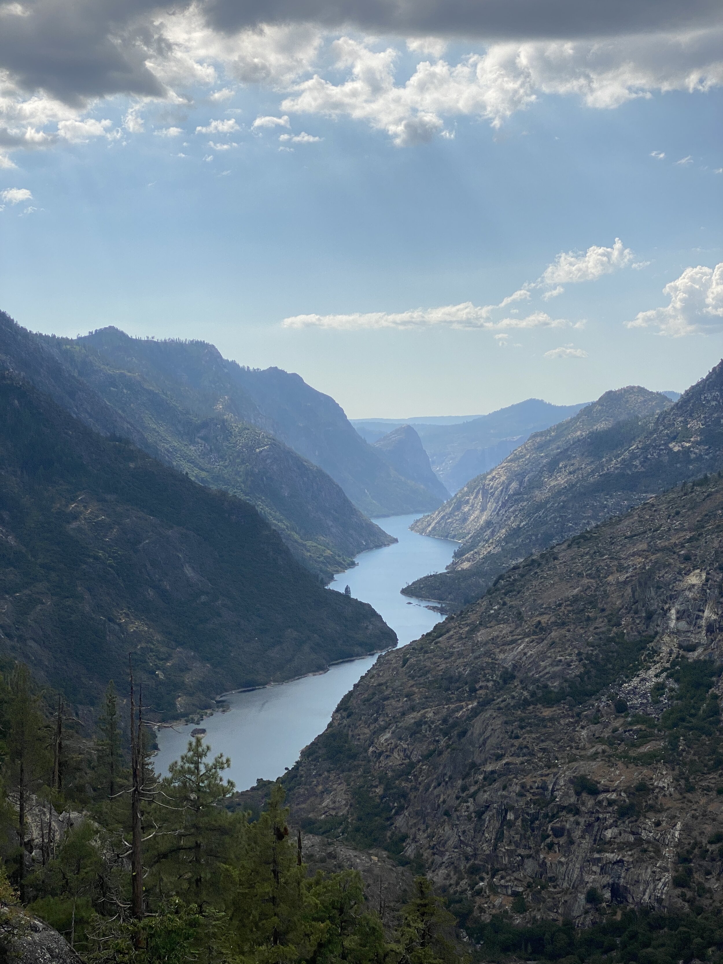
Looking toward Hetch Hetchy on the descent into the Grand Canyon of the Tuolumne River

Looking toward Hetch Hetchy on the descent into the Grand Canyon of the Tuolumne River

Hooves on the Ground: Yosemite's Grand Canyon of the Tuolumne and Old Big Oak Flat Road to El Capitan

August 9, 2020

This is an unusual year for everything, including (and perhaps especially) travel. With California under stay-at-home orders for the first few months of the COVID-19 pandemic, we stuck to day hiking near home and we visited many parts of the Angeles National Forest that we had never before explored, which led us to fall in love with LA and its roomy backyard all over again.

Just before the pandemic we secured wilderness permits for Yosemite, and to our surprise the National Park Service moved to honor existing permits during these strange time. But this good news did not automatically mean we were ready to take this trip. We weighed the pros and cons of traveling a few hundred miles from home during this precarious time, ultimately deciding that we would proceed with our travel plans if we could be reasonably assured that exposure risk would be low — from others to us and vice versa. We felt that our plan met this criteria. Each of our two chosen routes had the same starting and ending trailhead and are considered lightly-trafficked even during a normal year, meaning we could be self-reliant and self-contained without the need to take public transportation or use any resupply services, and without encountering very many people on the trail.

We proceeded with our plan and ended up having a unique experience in this unusual year. Yosemite was largely empty owing to the fact that only those with wilderness permits, lodging reservations, campground reservations, or day-use permits entry were allowed to enter. With only one campground open and plenty of folks canceling their trips, there were far fewer summer visitors than Yosemite is used to seeing, and less than we’ve ever experienced on past trips. Ironically, it was a great time to visit.


Grand Canyon of the Tuolumne

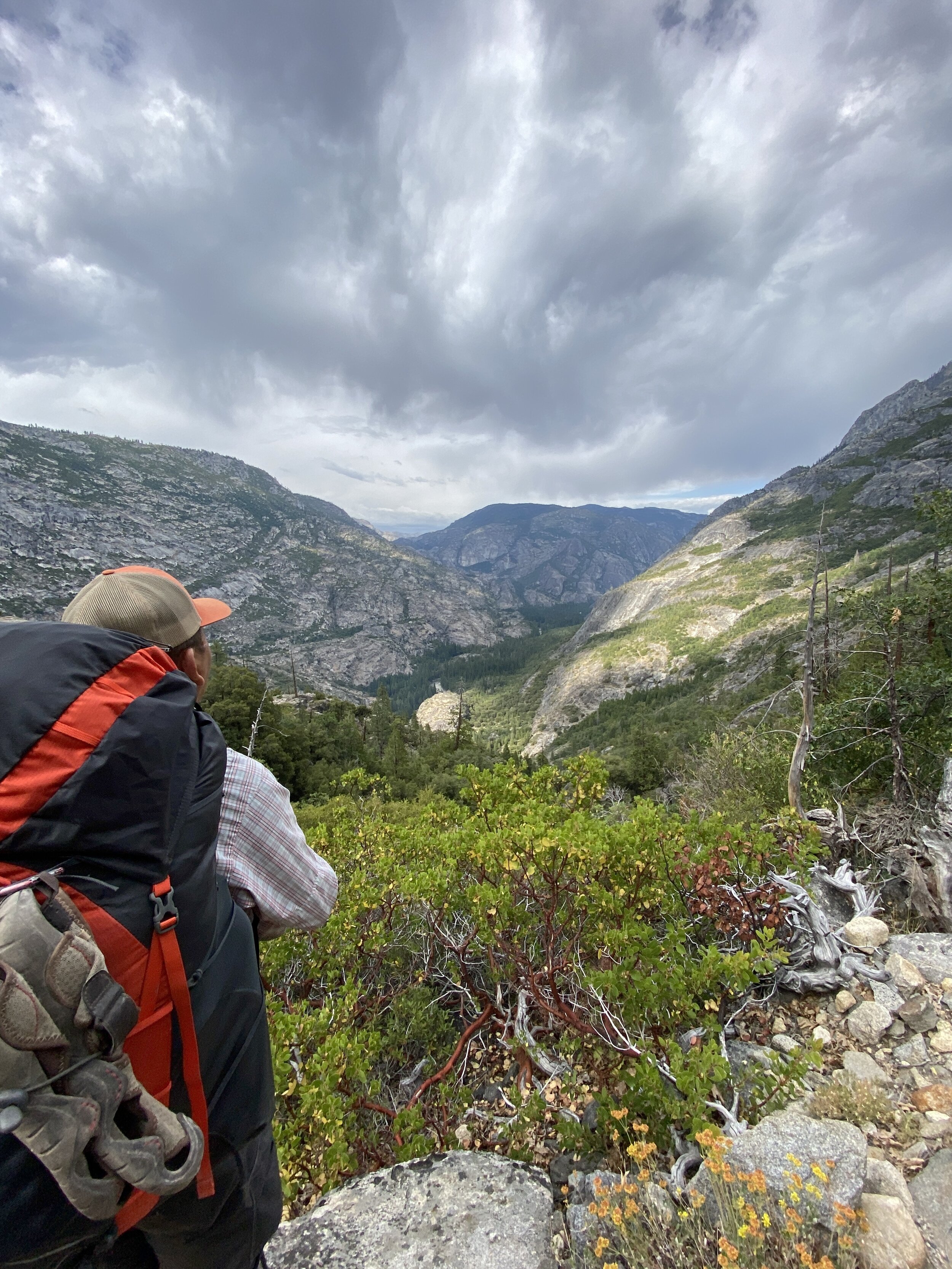
Of the many canyons and basins in Yosemite, this is the only one that earns the moniker “Grand Canyon“ — and for good reason. This route passes through a wide variety of geographies, topographies, and habitats in dramatic fashion, and if traveled clockwise (as we did), it reveals the Tuolumne River’s deep canyon through a lengthy descent that provides plenty of opportunities for ooh-ing and aah-ing. The adventure only gets better thereafter.

Day 1 : White Wolf to Pate Valley (11.7 mi)

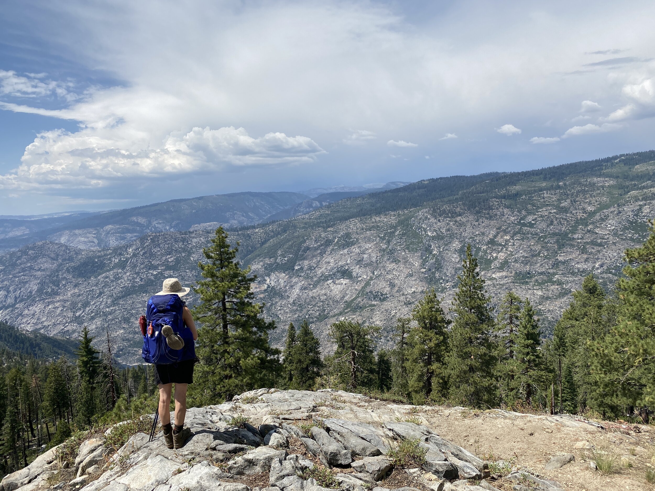
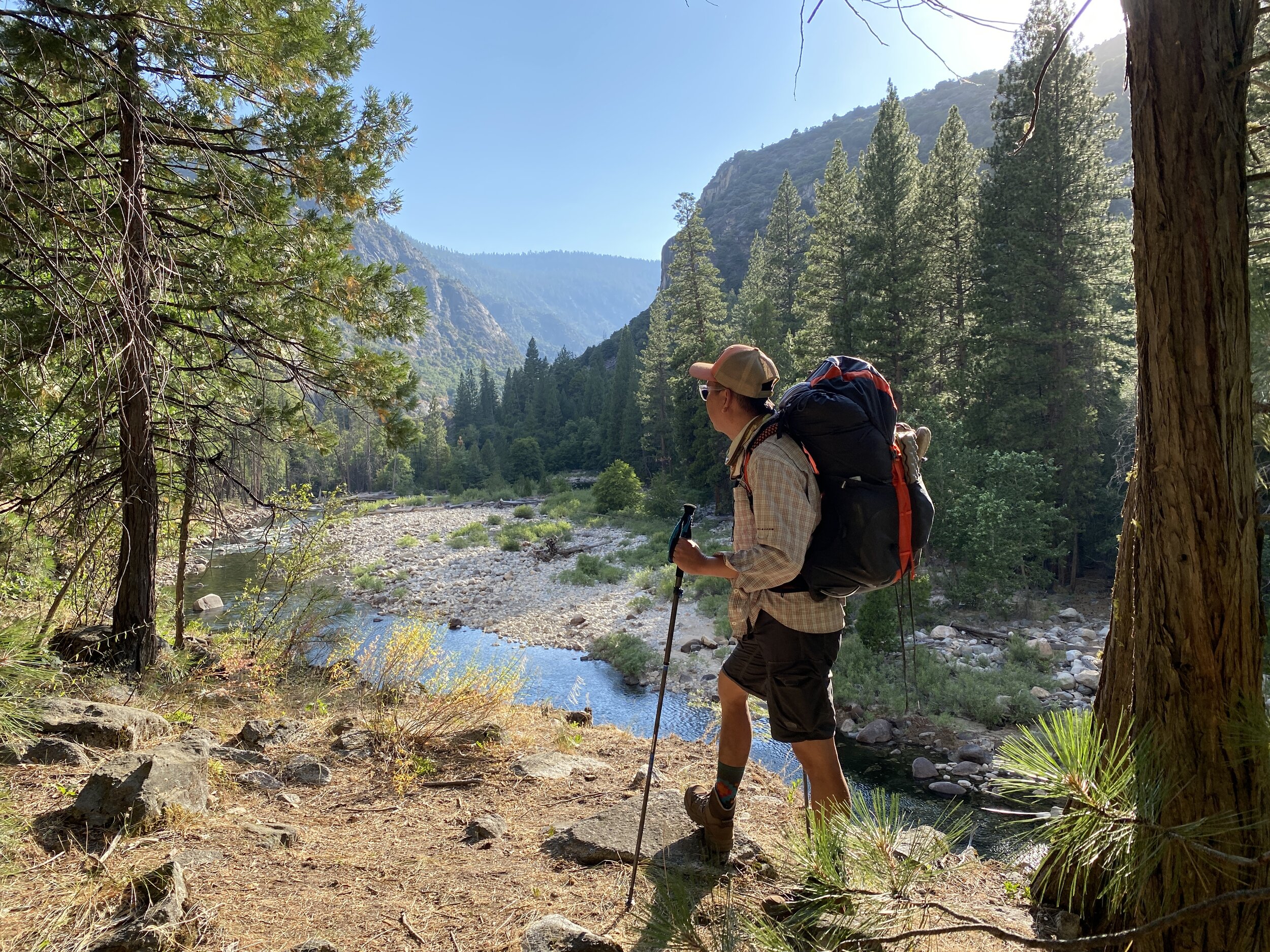
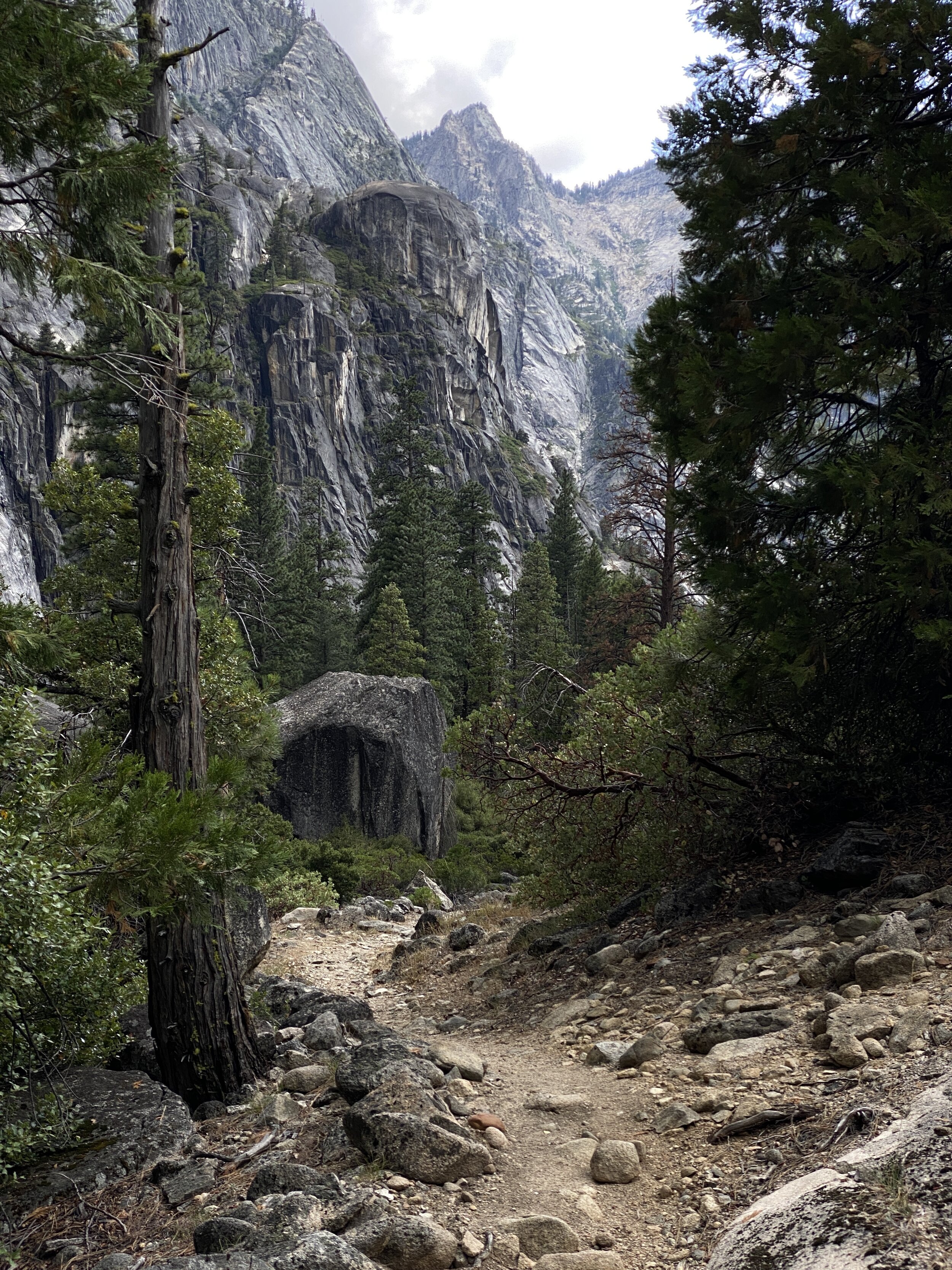
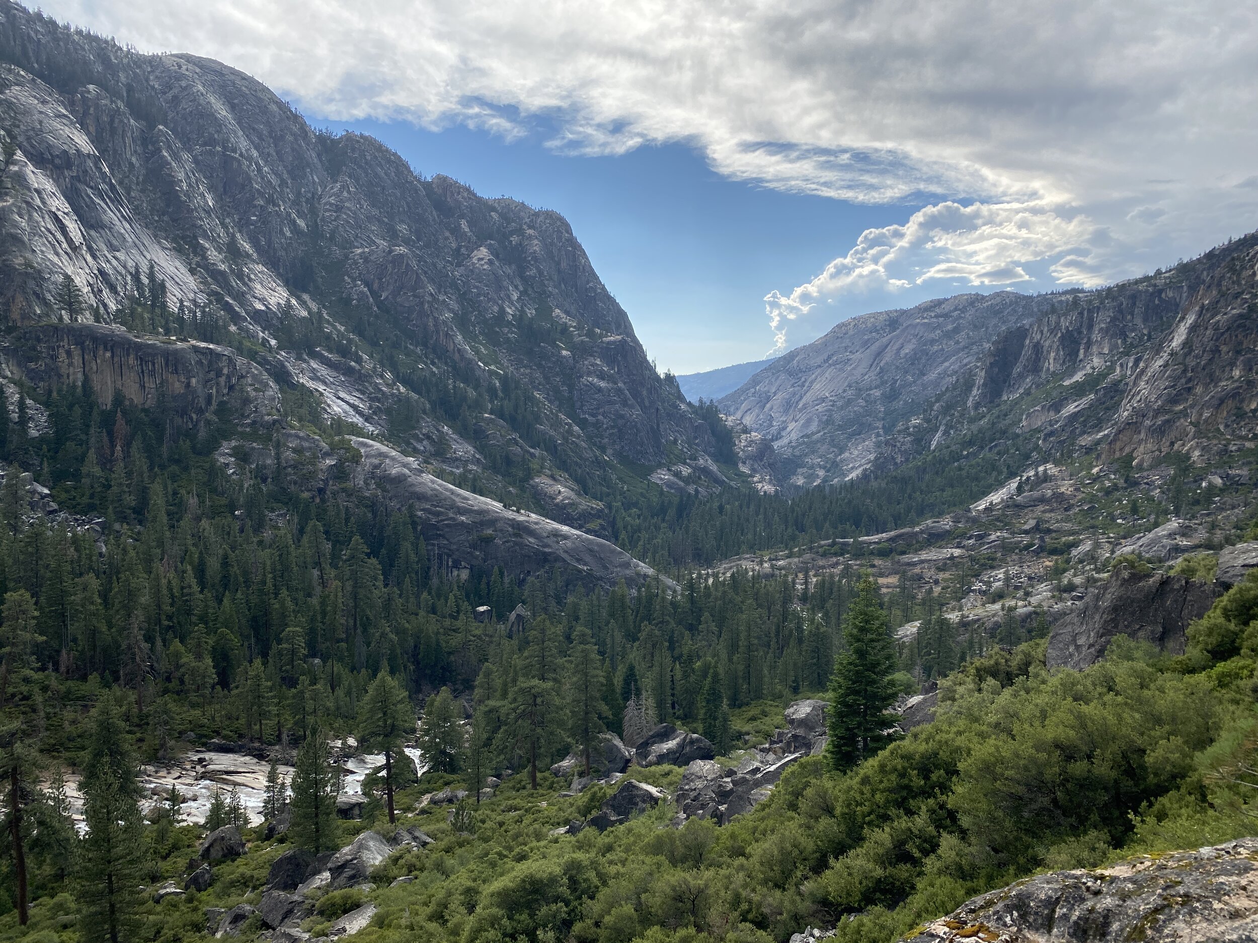
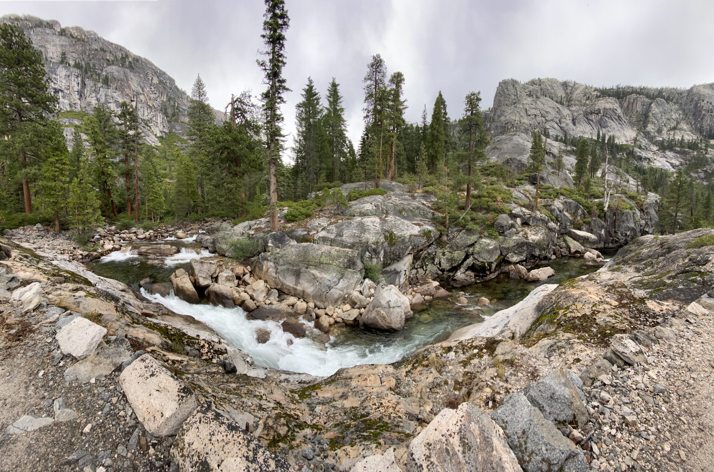
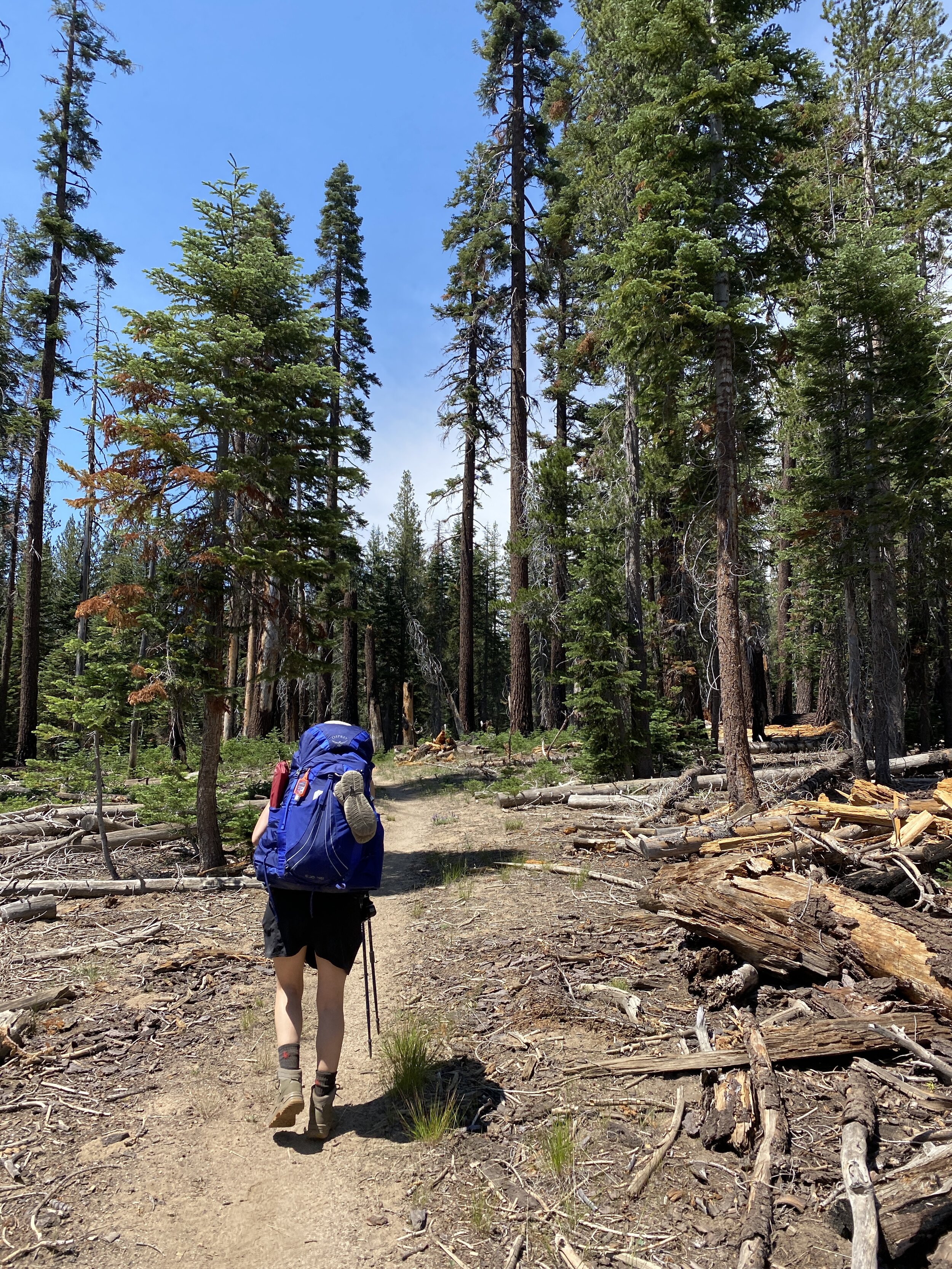
White Wolf Lodge and Campground were closed due to the pandemic, as was the road that leads to them, so we started our hike about a mile away from the trailhead. We parked along Highway 120 and walked 1.1 miles to White Wolf. Once on the trail, the route follows pine forest for a fairly level section before starting a steady descent from just above 8,000 feet, down to Pate Valley at 4,200 feet — the lowest point along the entire route. Views into the Grand Canyon start to open up a few miles in, giving hikers a break from the lengthy and sometimes incessant descent through a stretch that we found to be rather dry and hot in this low-snow year. Along the descent, views to the west reveal Hetch Hetchy reservoir — Yosemite Valley’s famous “little sister” who was drowned in the 1920s due to dam construction to serve San Francisco with a reliable water supply, despite John Muir’s vehement opposition. Once at the bottom, the trail reaches the Tuolumne River. Following the river northeast for a few miles, we arrived at a bridged junction with Piute Creek, where we found some great options for making our home that night. 
IMG_0865.jpg
IMG_0872.jpg
IMG_0818.jpg
IMG_0822.jpg
IMG_0823.jpg
IMG_0873.jpg
IMG_0876.jpg
IMG_0830.jpg
IMG_0833.jpg
IMG_0886.jpg
IMG_0891.jpg
IMG_0844.jpg
IMG_0848.jpg
IMG_0897.jpg
IMG_0900.jpg
IMG_0865.jpg IMG_0872.jpg IMG_0818.jpg IMG_0822.jpg IMG_0823.jpg IMG_0873.jpg IMG_0876.jpg IMG_0830.jpg IMG_0833.jpg IMG_0886.jpg IMG_0891.jpg IMG_0844.jpg IMG_0848.jpg IMG_0897.jpg IMG_0900.jpg

Day 2: Pate Valley to Waterwheel Falls (12.1 mi)

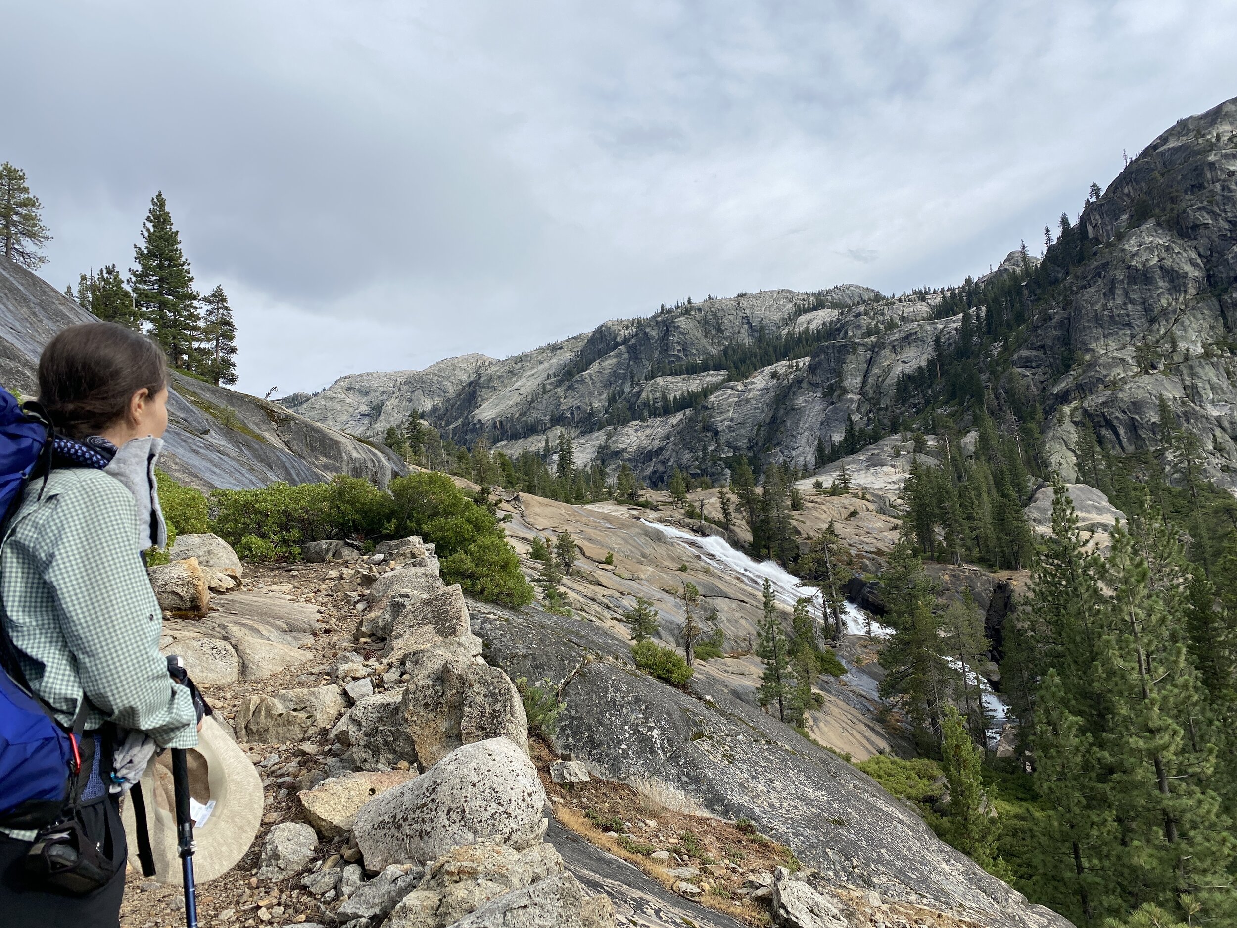
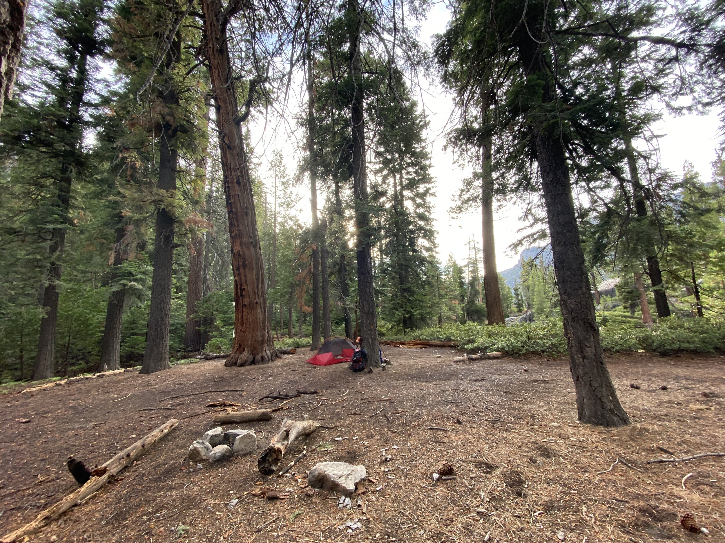
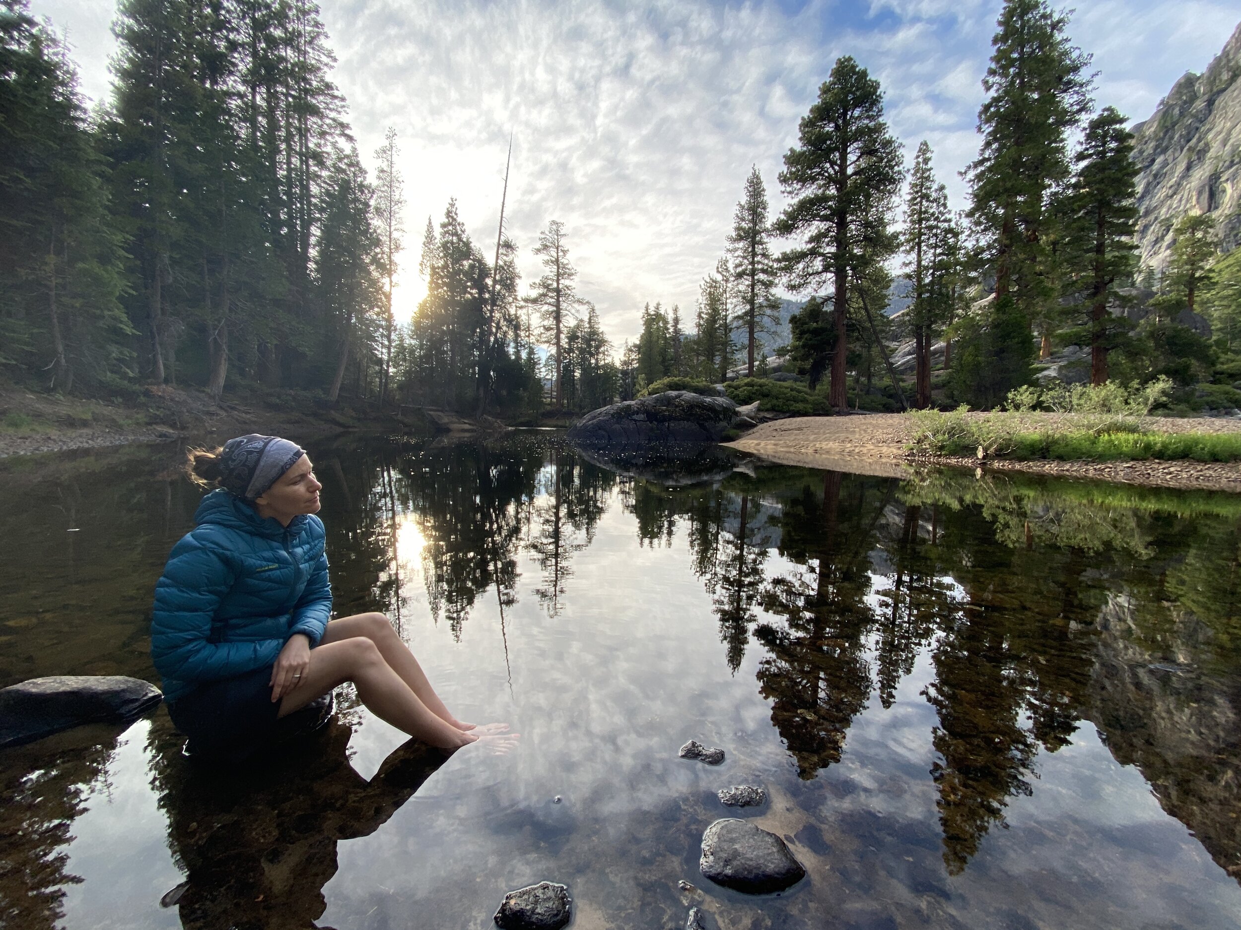
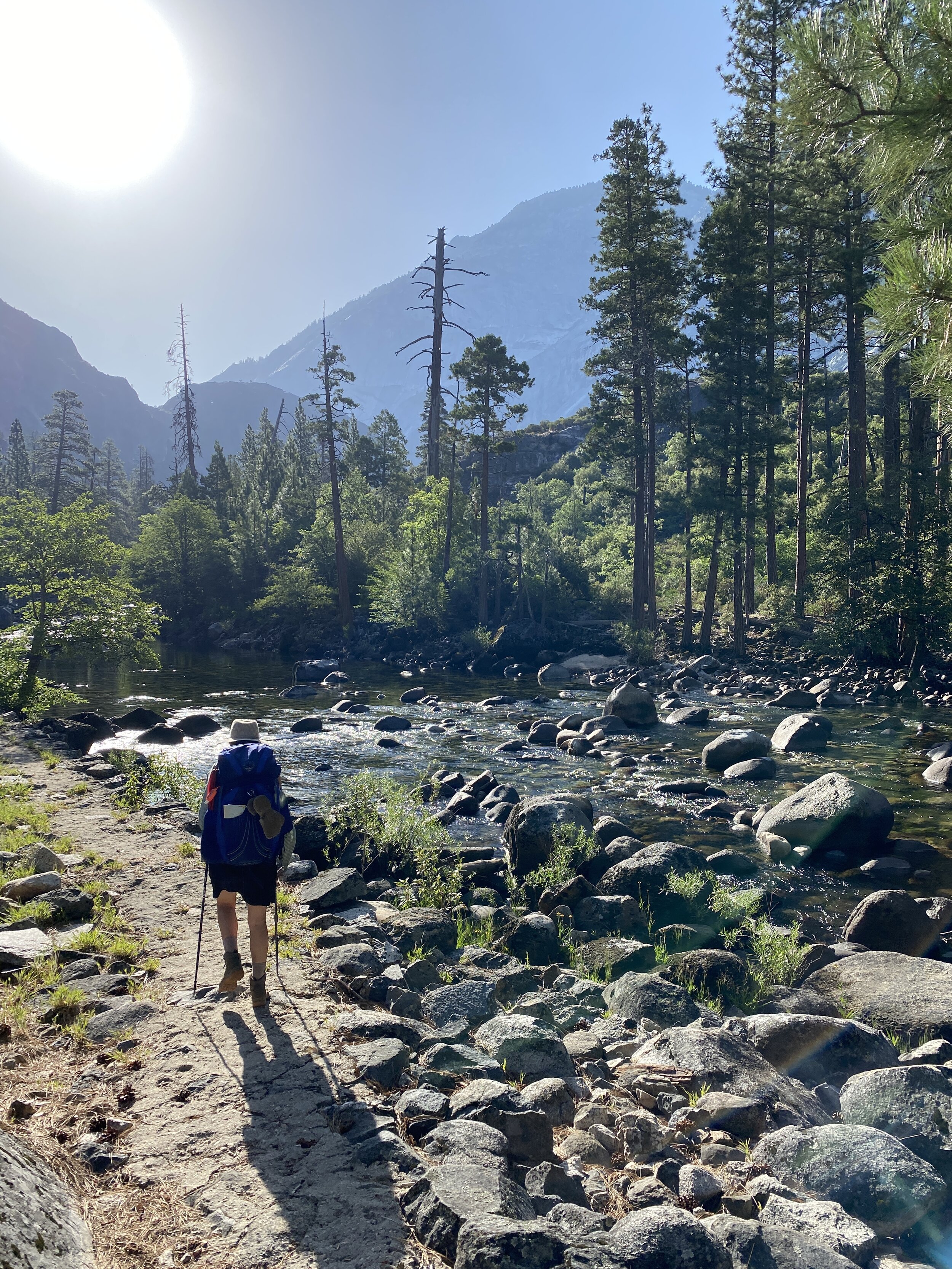
Leaving the bottom of the canyon, the trail begins its ascent as the canyon narrows into Muir Gorge. A treat awaits as the trail crosses Rodgers Creek — a beautiful chasm of vertical walls through which cool Sierra water seeps offers respite in a sanctuary-like space. Climbing on and still following the path of the mighty Tuolumne River, the vegetation changes from oak woodland to conifer forest. The canyon widens again past Muir Gorge, with views once more opening up and revealing the many verdant miles of canyon from which you just emerged. Reaching Waterwheel Falls at about 7,000 feet, we took a faint use trail down to find a forested flat adjacent to the river. No one else camped there that night.
IMG_0906.jpg
IMG_0908.jpeg
IMG_0911.jpeg
IMG_0856.jpg
IMG_0917.jpg
IMG_0860.jpg
IMG_0931.jpg
IMG_0951.jpg
IMG_0874.jpg
IMG_0955.jpg
IMG_0882.jpg
IMG_0966.jpg
IMG_0879.jpg
IMG_0971.jpg
IMG_0977.jpg
IMG_0992.jpg
IMG_0889.jpeg
IMG_0906.jpg IMG_0908.jpeg IMG_0911.jpeg IMG_0856.jpg IMG_0917.jpg IMG_0860.jpg IMG_0931.jpg IMG_0951.jpg IMG_0874.jpg IMG_0955.jpg IMG_0882.jpg IMG_0966.jpg IMG_0879.jpg IMG_0971.jpg IMG_0977.jpg IMG_0992.jpg IMG_0889.jpeg

Day 3: Waterwheel Falls to Tuolumne Peak (11 mi)

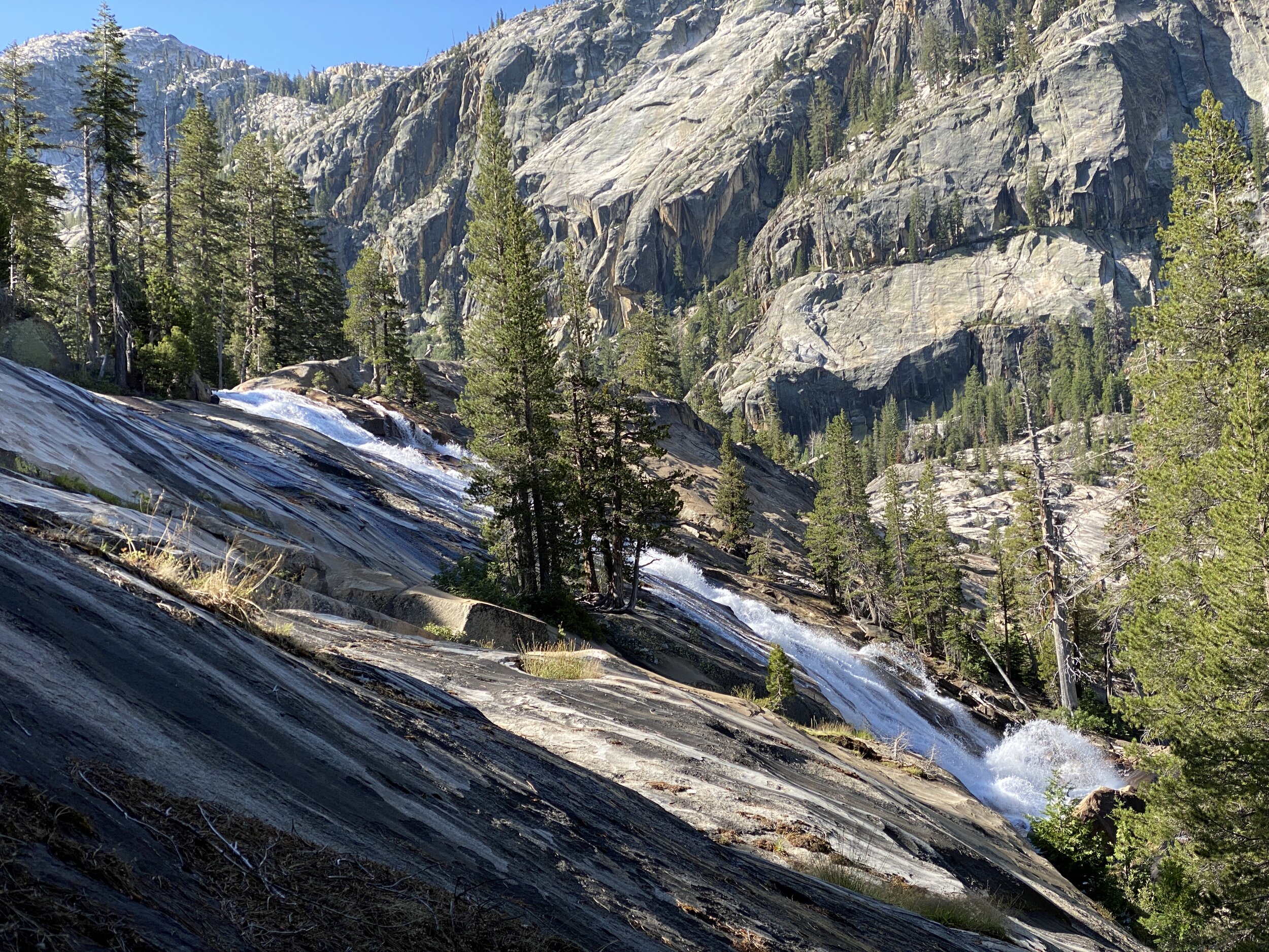
The ascent continues on the approach toward Glen Aulin, site of one of the High Sierra Camps. We parked ourselves opposite the river from Glen Aulin, near its dramatic waterfall White Cascade, and had an early lunch. We did some laundry and chatted with a lone Pacific Crest Trail hiker who seemed pleased to have someone to talk to (the few intrepid PCTers on the trail this year were mostly north of Yosemite by now). Leaving Glen Aulin we joined the PCT and continued our upward journey, passing pretty McGee Lake and walking under tree cover for the next several miles. Clouds had been accumulating since early afternoon, and by about 2:30pm it began to rain, and then hail, on and off for the rest of the afternoon. Turning northeast onto Ten Lakes trail, we started our final ascent for the day, which would land us at the highest elevation on this route, at about 10,000 ft., near Tuolumne Peak. Dropping slightly to a small tarn, we entered territory with a distinct High Sierra flavor — an elemental combination of granite, high-elevation vegetation, and sky. Frolicking in this idyllic landscape were several pikas — which we had seen on several hikes before, but always in a quick, passing moment as they scurried away behind a rock. Here, near Tuolumne Peak, they lingered and seemed rather fearless, letting us observe them while they gathered tasty vegetation for their winter stockpiles and nourished themselves over nutrients seeping from rocks. We were very pleased to call this home for the night and to wake up in this wonderland for Jolly’s birthday. 
IMG_0893.jpg
IMG_1002.jpg
IMG_0902.jpg
IMG_1008.jpg
IMG_0905.jpg
IMG_1012.jpg
IMG_1014.jpg
IMG_0927.jpg
IMG_0932.jpg
IMG_0893.jpg IMG_1002.jpg IMG_0902.jpg IMG_1008.jpg IMG_0905.jpg IMG_1012.jpg IMG_1014.jpg IMG_0927.jpg IMG_0932.jpg

Day 4: Tuolumne Peak to Ten Lakes (7.5 mi)

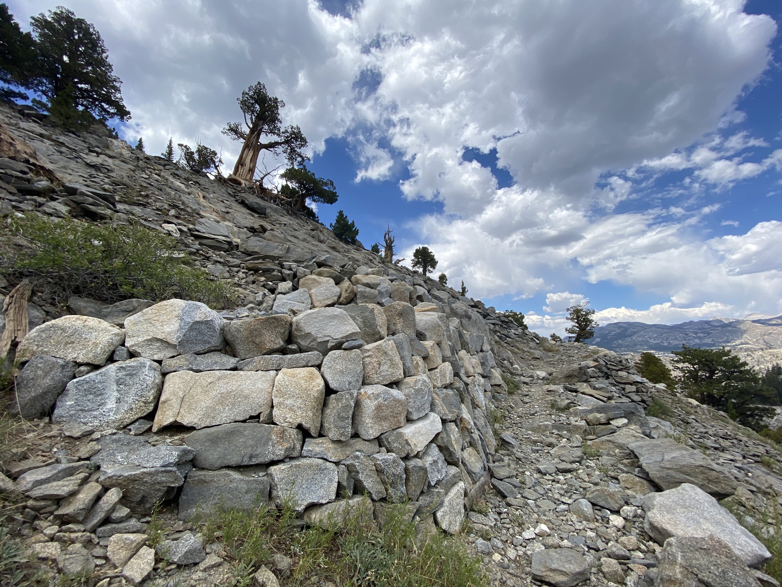
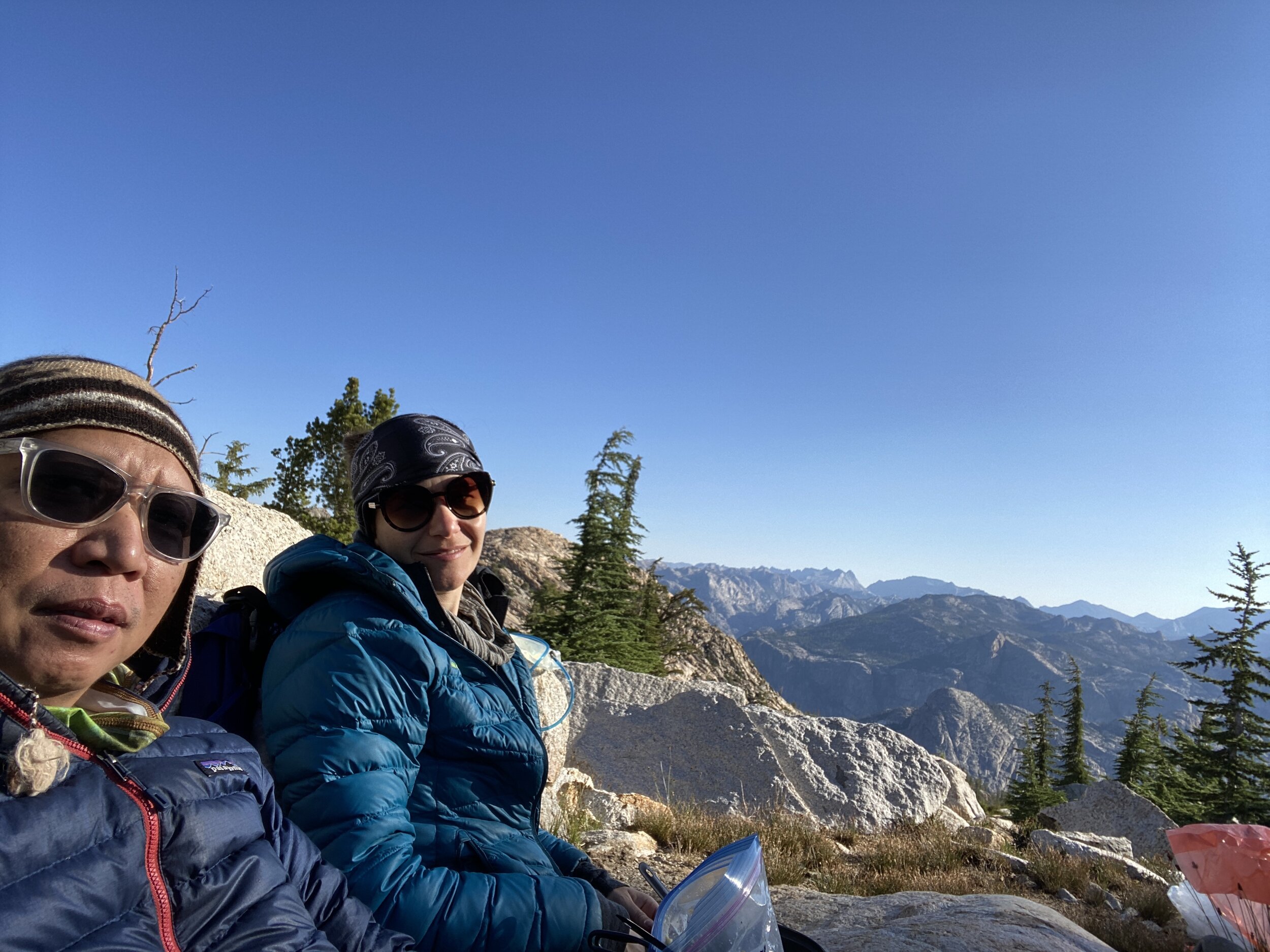
A late-July Sierra hike is a Jolly birthday tradition in our household. Today’s was the big day and we were determined to have an easier day today. Leaving the lovely Tuolumne Peak area, we climbed slightly and then switchbacked down while taking in views of Cathedral Canyon, reaching the South Fork of Cathedral Creek, the lowest elevation of the day. Here we took a long and lazy lunch complete with a nap under a tree. Leaving the canyon we once again found ourselves climbing and gaining more and more views to give perspective over the terrain we had covered during previous days. Though the entire trail along this 50+ mile route is well engineered and maintained, this particular stretch of trail was downright gorgeous, with beautifully-crafted rockwork that made us ponder whose artistry we were enjoying and how long it had been there. With the slope easing, we found ourselves walking in the forest again, reaching the first and largest of the Ten Lakes and finding a suitable spot to call home for the night. A gentle evening rain fell and the skies cleared overnight.
IMG_1021.jpg
IMG_0948.jpg
IMG_0951.jpeg
IMG_0952.jpeg
IMG_1022.jpg
IMG_1023.jpeg
IMG_0954.jpg
IMG_0963.jpg
IMG_1029.jpg
IMG_0960.jpg
IMG_1034.jpg
IMG_0968.jpg
IMG_0971.jpg
IMG_1042.jpg
IMG_0975.jpg
IMG_1021.jpg IMG_0948.jpg IMG_0951.jpeg IMG_0952.jpeg IMG_1022.jpg IMG_1023.jpeg IMG_0954.jpg IMG_0963.jpg IMG_1029.jpg IMG_0960.jpg IMG_1034.jpg IMG_0968.jpg IMG_0971.jpg IMG_1042.jpg IMG_0975.jpg

Day 5: Ten Lakes to White Wolf (13 mi)

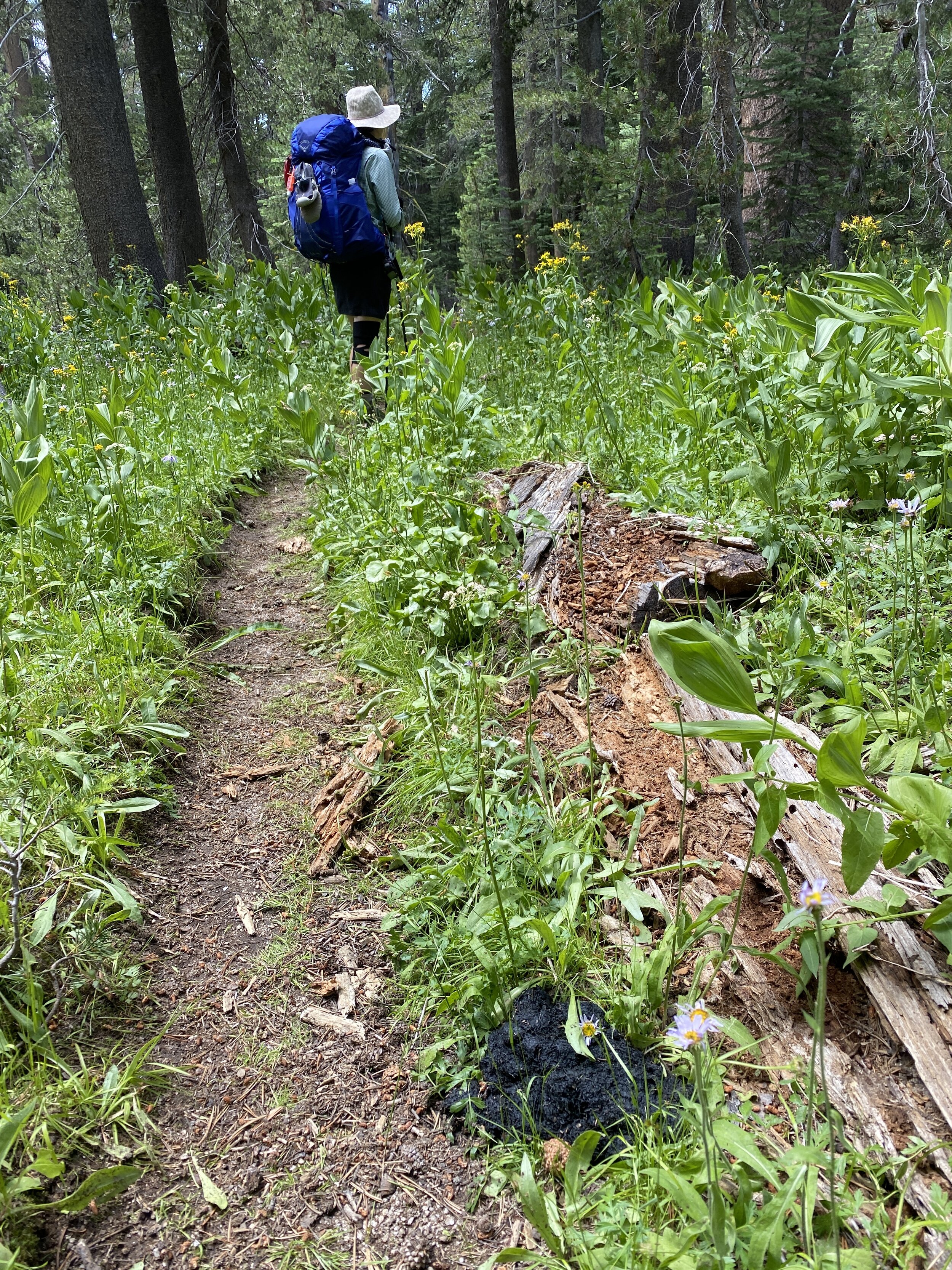
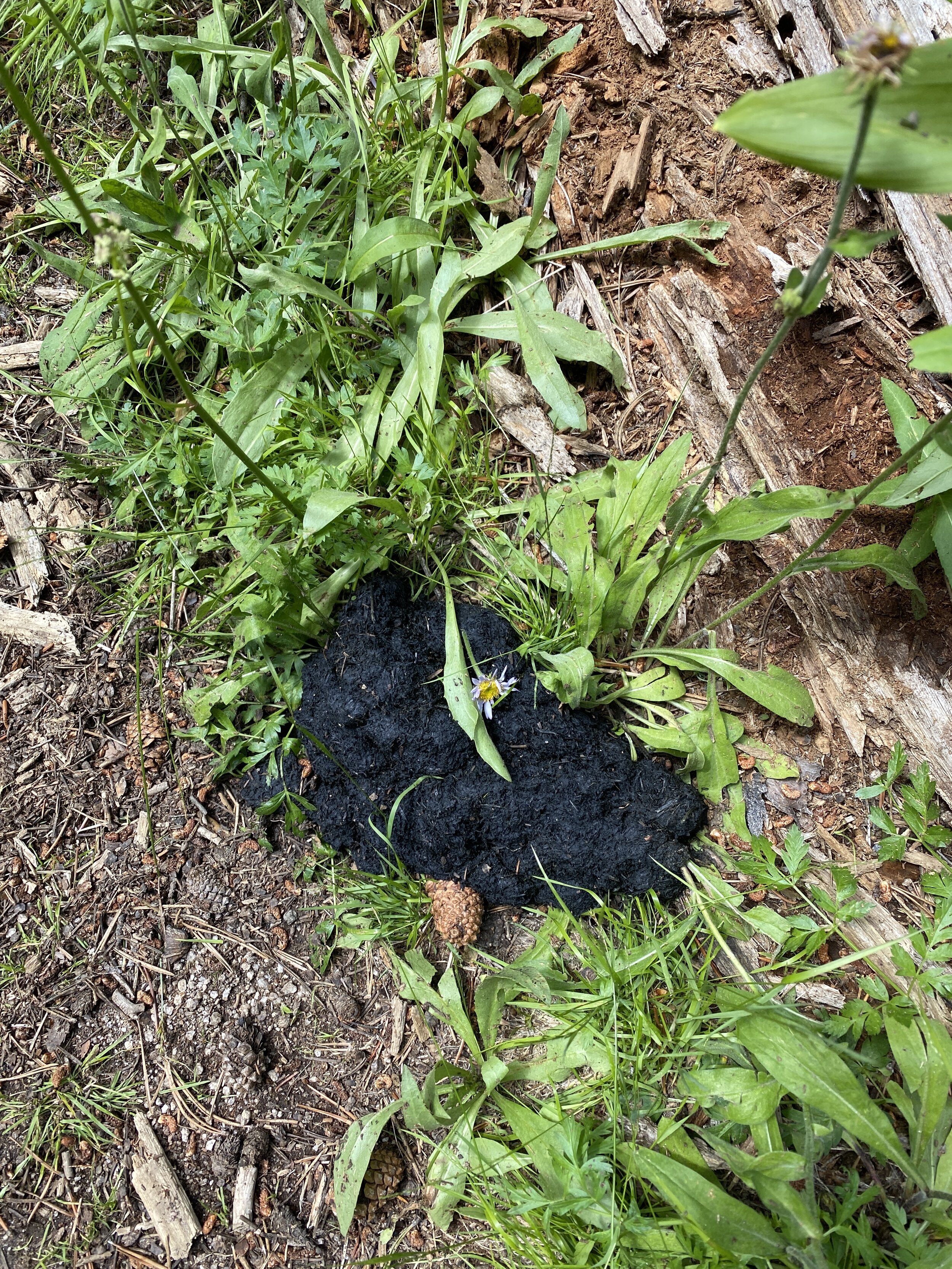
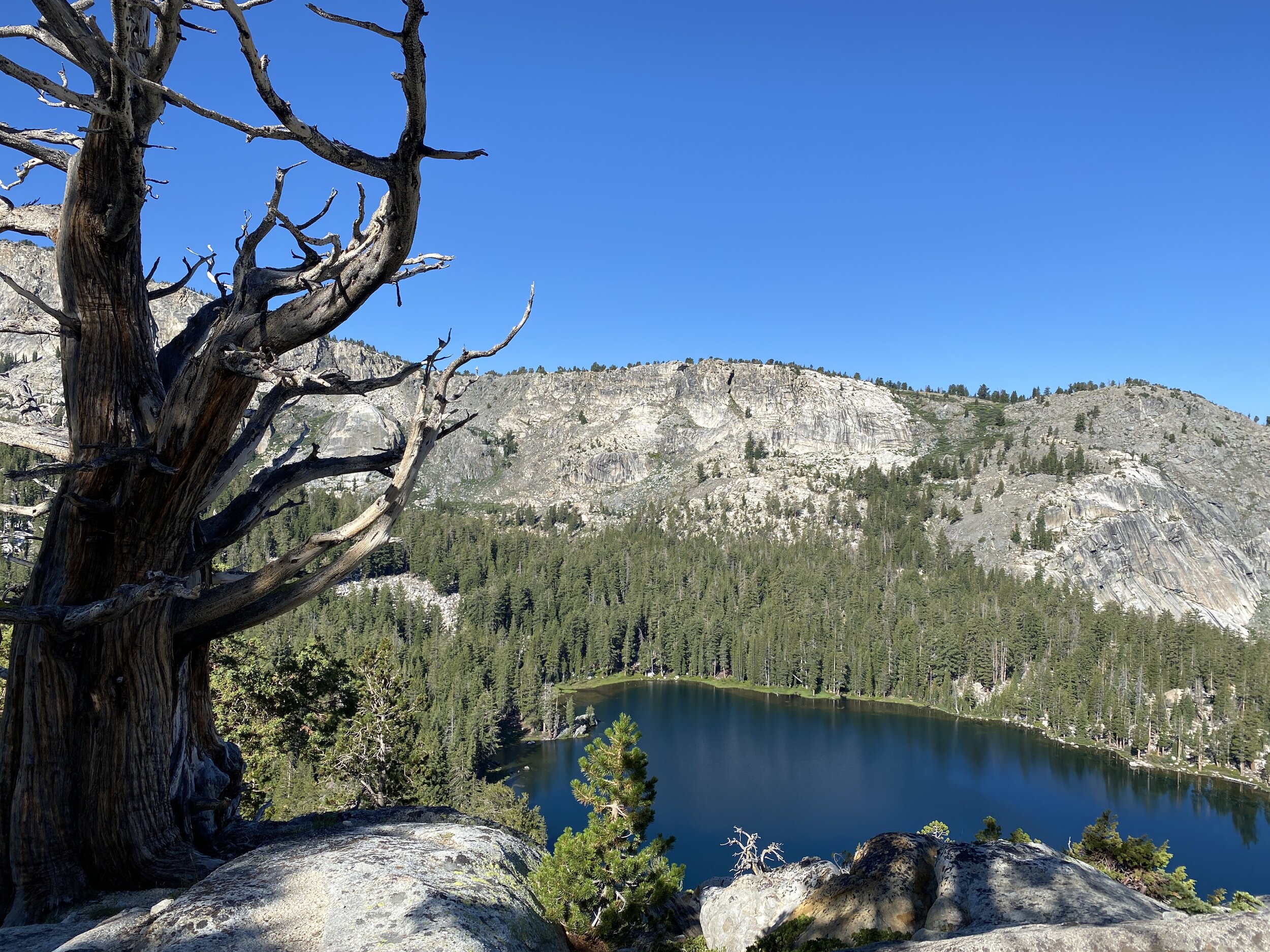
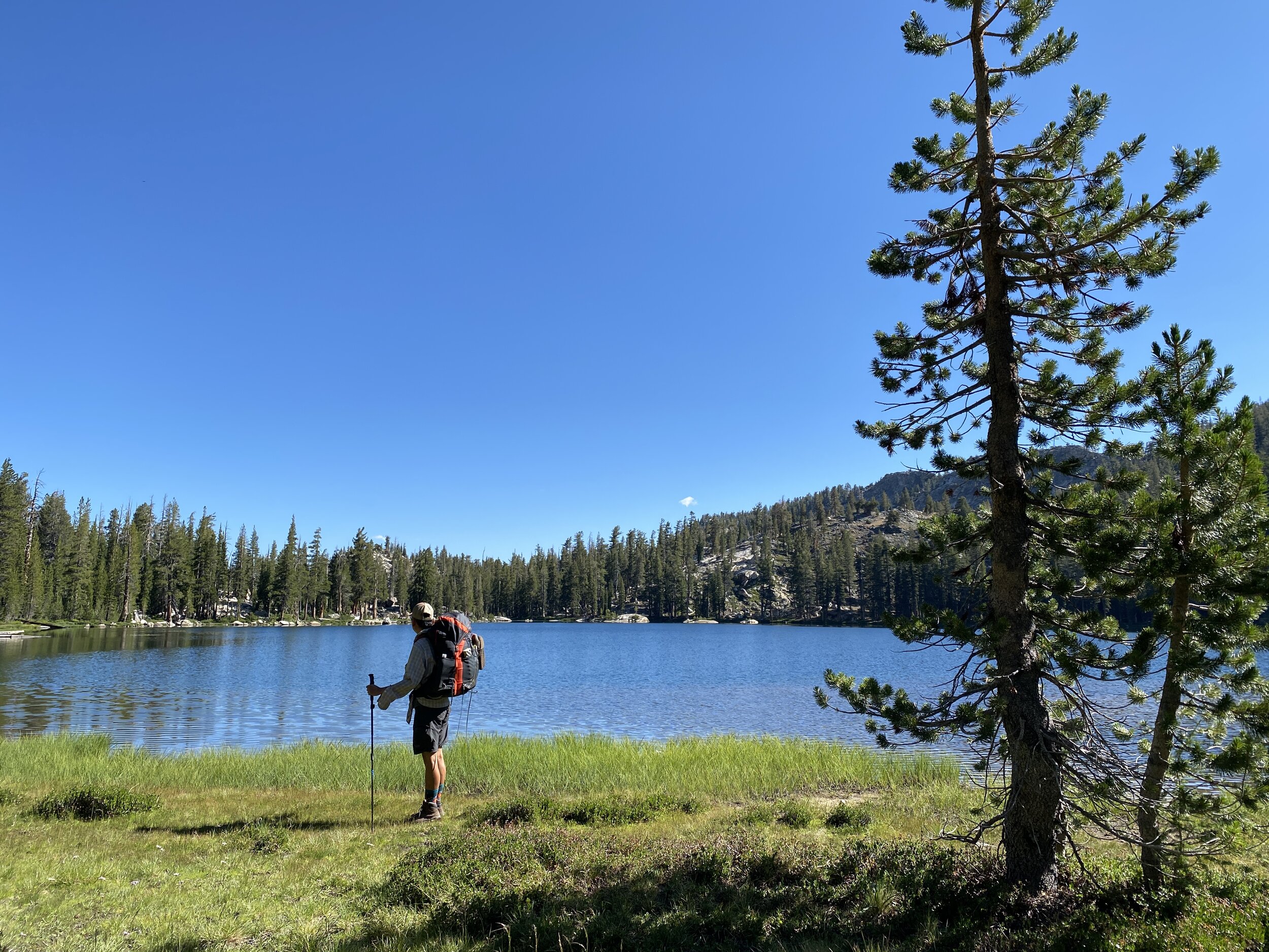
From the largest, easternmost lake, we descended toward two of the other accessible lakes in the grouping and then found ourselves climbing again, this time toward Ten Lakes Pass — a broad, wildflower-covered ridge that affords 360-degree views of this beautiful land. We descended for the following few miles, passing Halfmoon Meadow and more bear scat than we’ve ever seen in our lives. It seemed every couple of minutes there was evidence that bears had recently taken the same trail we had — but they must have not been feeling very social because we did not see any bears. Leaving Ten Lakes trail and heading west we climbed gently under heavy tree cover, passing a junction with Lukens Lake trail before finally reaching White Wolf. Another 1.1 miles’ walk up White Wolf Road and we reached Highway 120, completing a challenging and rewarding adventure replete with varied habitats and destinations to tickle the senses.
IMG_0977.jpg
IMG_0978.jpg
IMG_0982.jpg
IMG_0983.jpeg
IMG_1044.jpg
IMG_1045.jpg
IMG_1047.jpg
IMG_0989.jpeg
IMG_1049.jpg
IMG_1050.jpg
IMG_0990.jpg
IMG_0991.jpg
IMG_0977.jpg IMG_0978.jpg IMG_0982.jpg IMG_0983.jpeg IMG_1044.jpg IMG_1045.jpg IMG_1047.jpg IMG_0989.jpeg IMG_1049.jpg IMG_1050.jpg IMG_0990.jpg IMG_0991.jpg
Click for Grand Canyon of the Tuolumne Map (Caltopo)

ElCap.jpg

Old Big Oak Flat Road to El Capitan

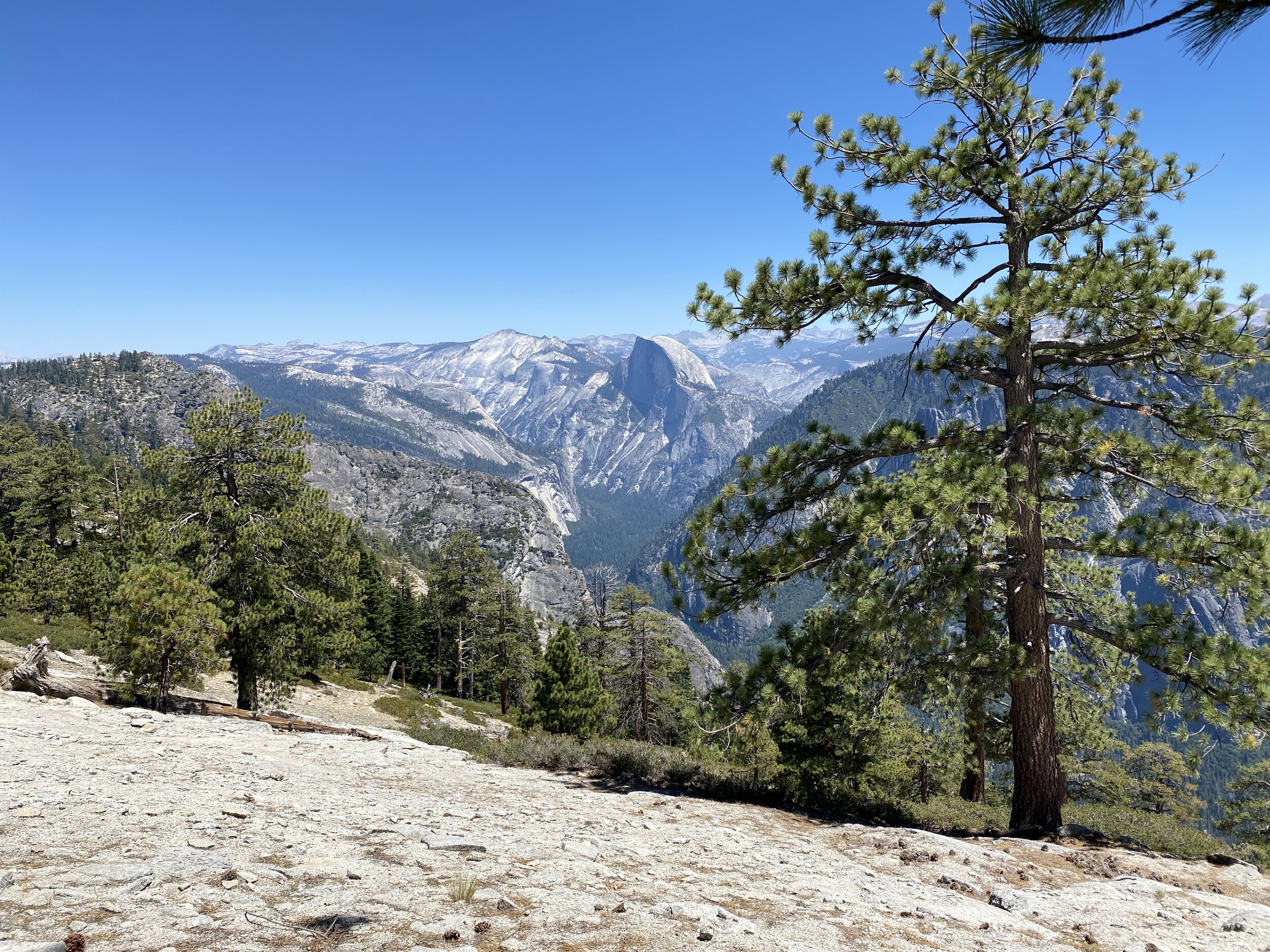
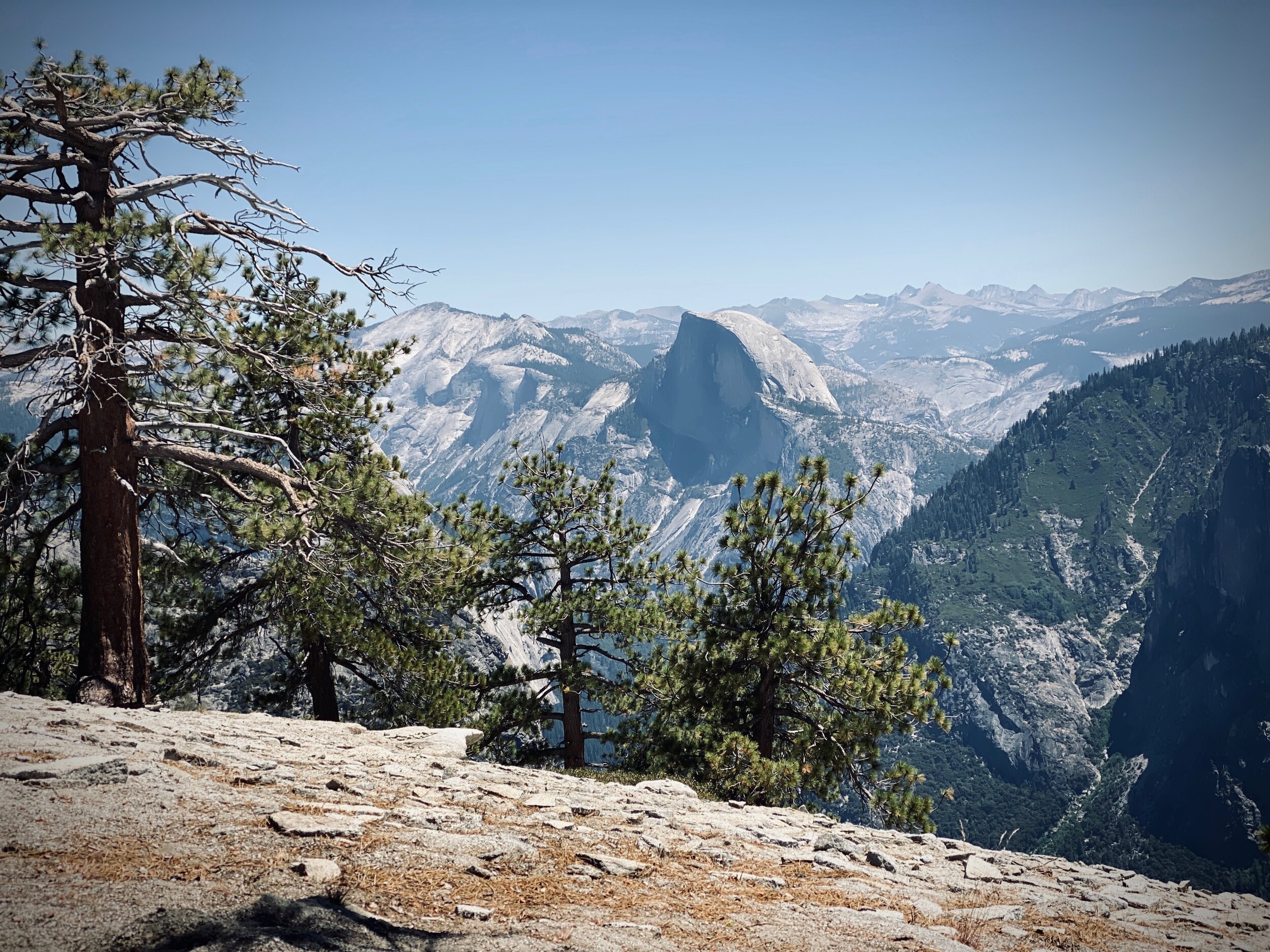
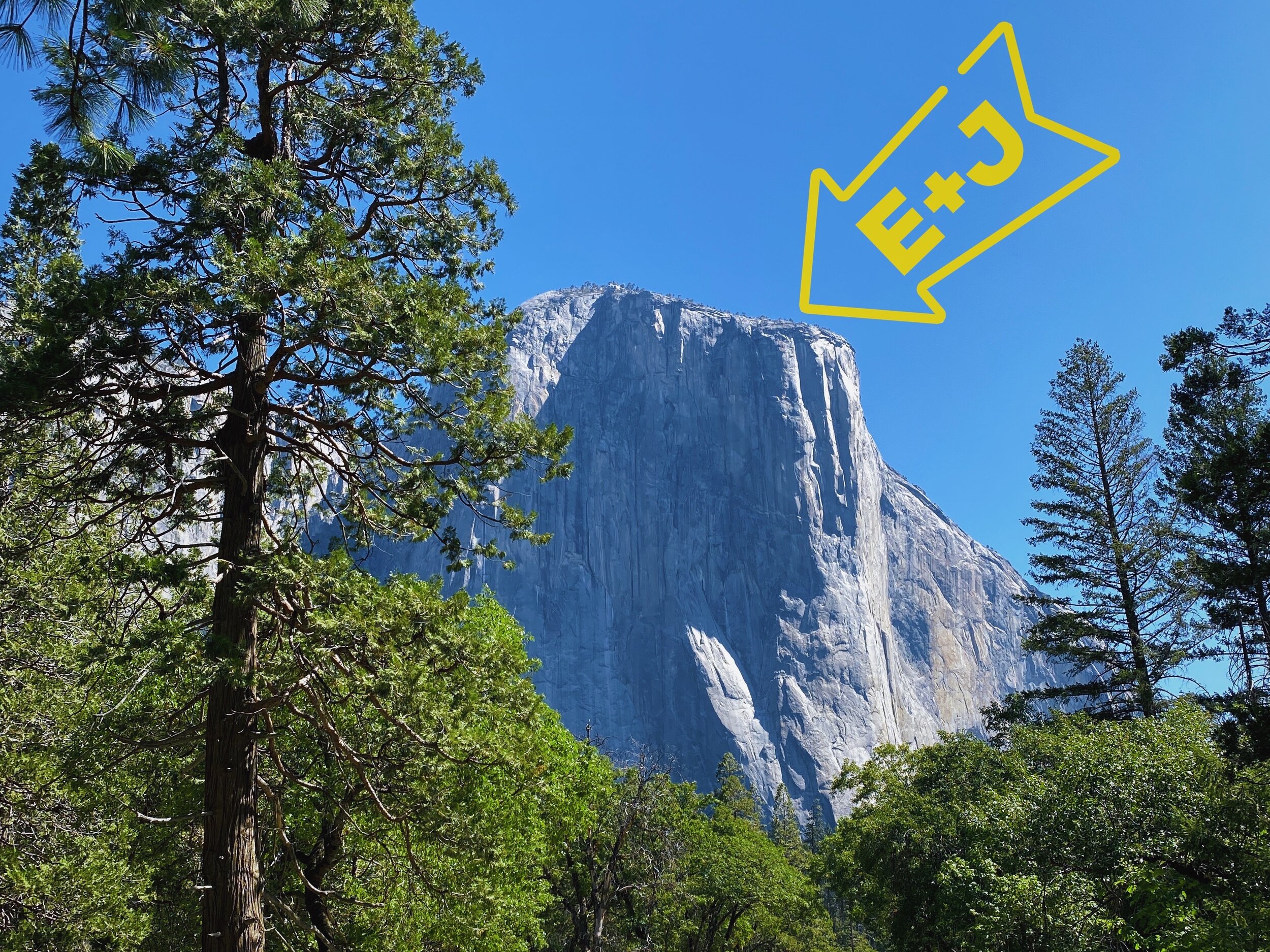
In summer, we generally avoid going near Yosemite Valley because it tends to be quite overcrowded. But with visitation down this year, we decided to take on a fairly easy trail and soak in some of the Valley’s sights by hiking along the rim above it.

Day 1: Old Big Oak Flat Road to Cascade Creek (4 mi)

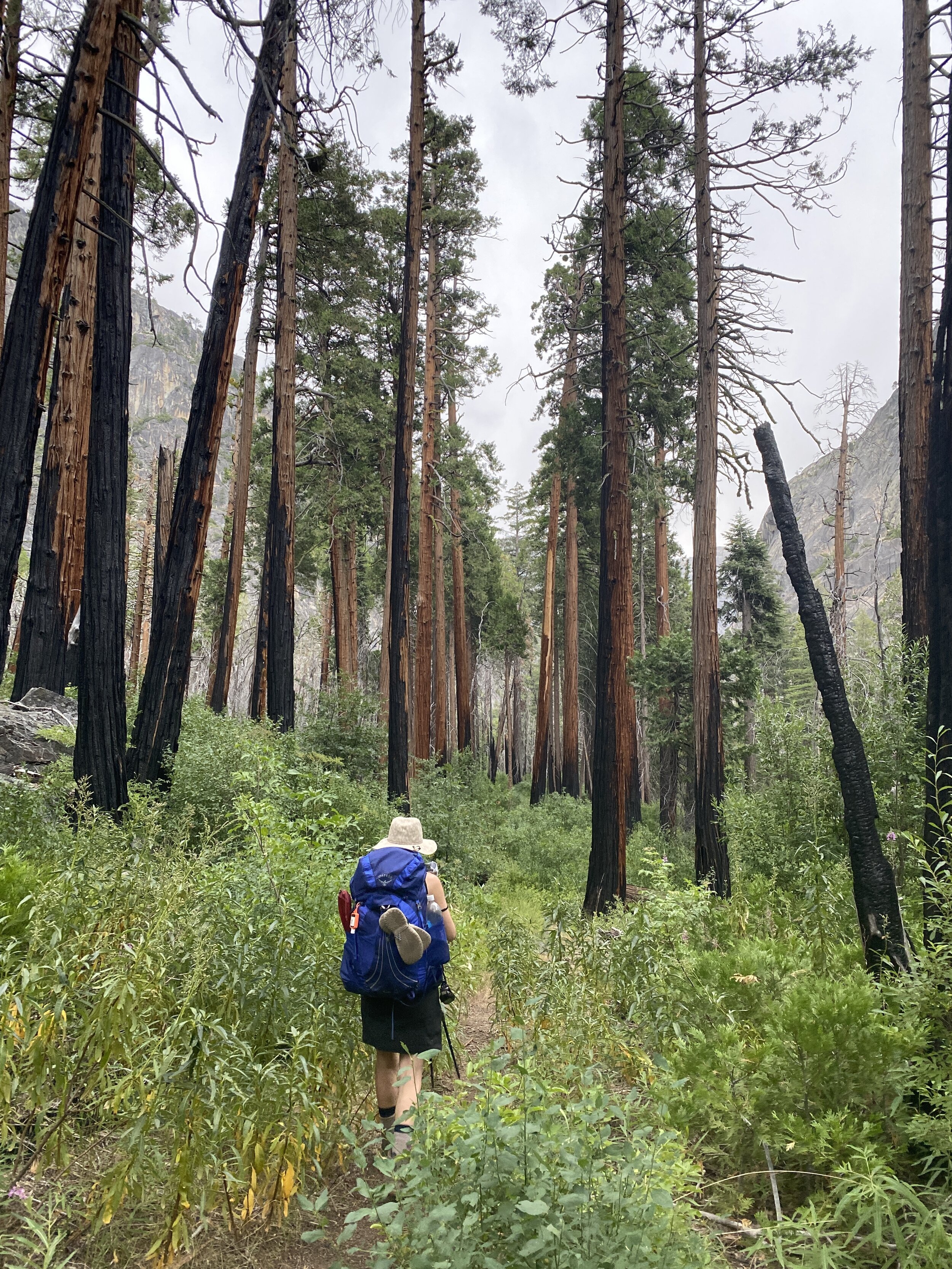
We started our hike around 5:30pm to avoid the heat. The heat was still rather oppressive, owing largely to the lack of shade along the first mile or two — the legacy of a wildfire that burned some 30 years ago and which left scars that are still very present today. Once under forest cover, the trail weaves its way around many downed trees while meandering in and out of drainages that were mostly dry during this low-snow year. The trail gains about 1,000 feet in the first two to three miles and then drops down to Tamarack Creek, a pretty area with oversized vegetation and inviting pools of water. Continuing on about another mile we reached an old road and turned right toward Cascade Creek — a stunning spot with a sturdy footbridge, towering trees, and a gully of cascades and pools that opens up just enough to reveal views just above the Valley. This was the only area that we saw that was really suitable for camping, and was to be our home for the next two nights.

Day 2: Cascade Creek to El Capitan and back (13 mi)

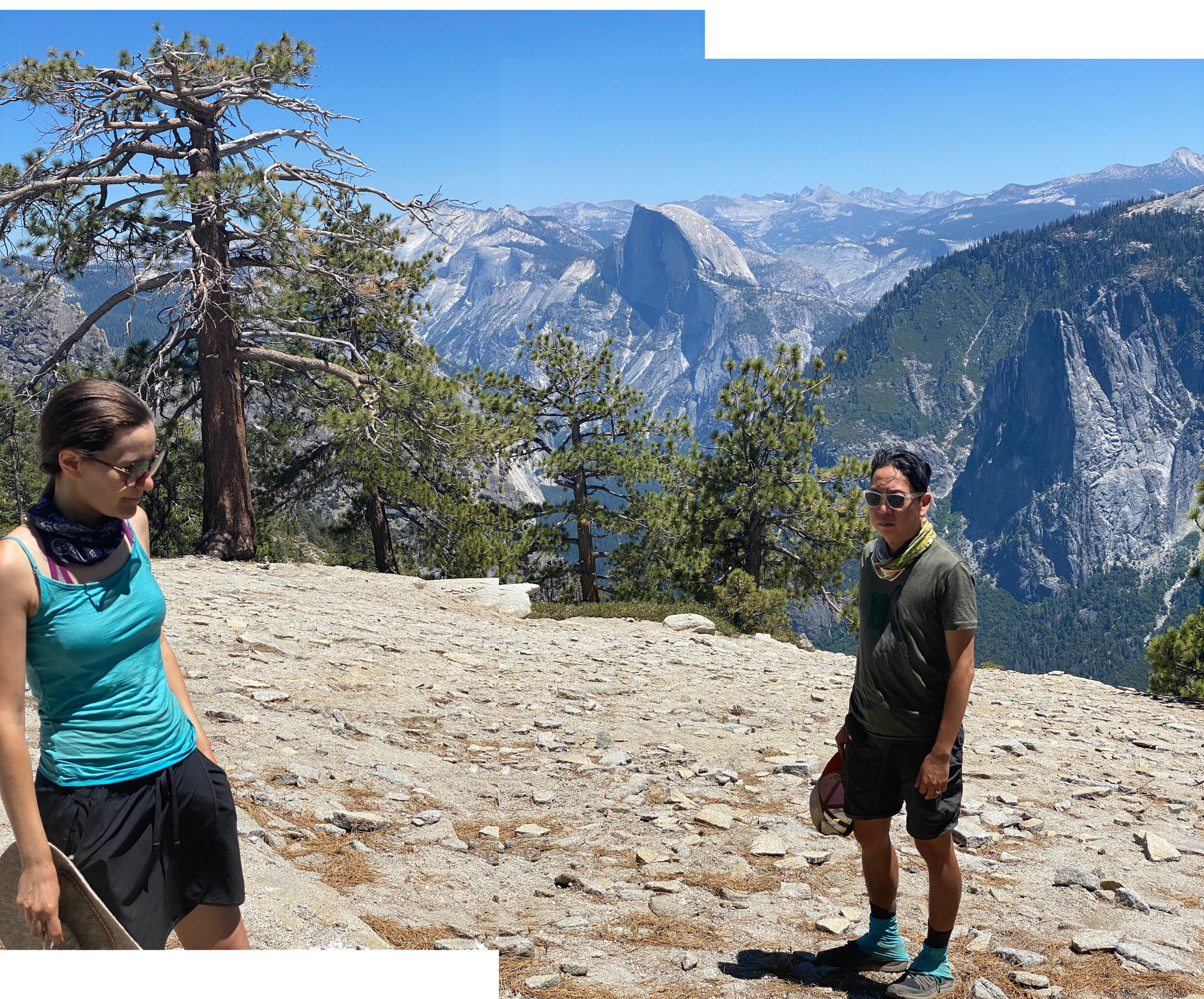
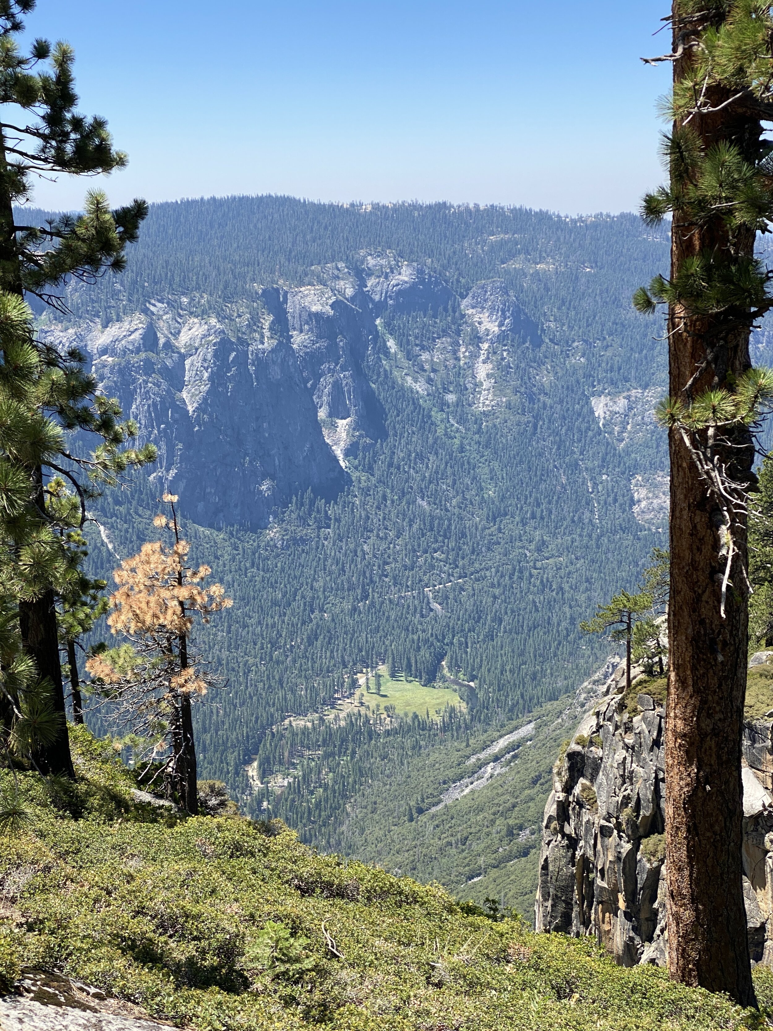
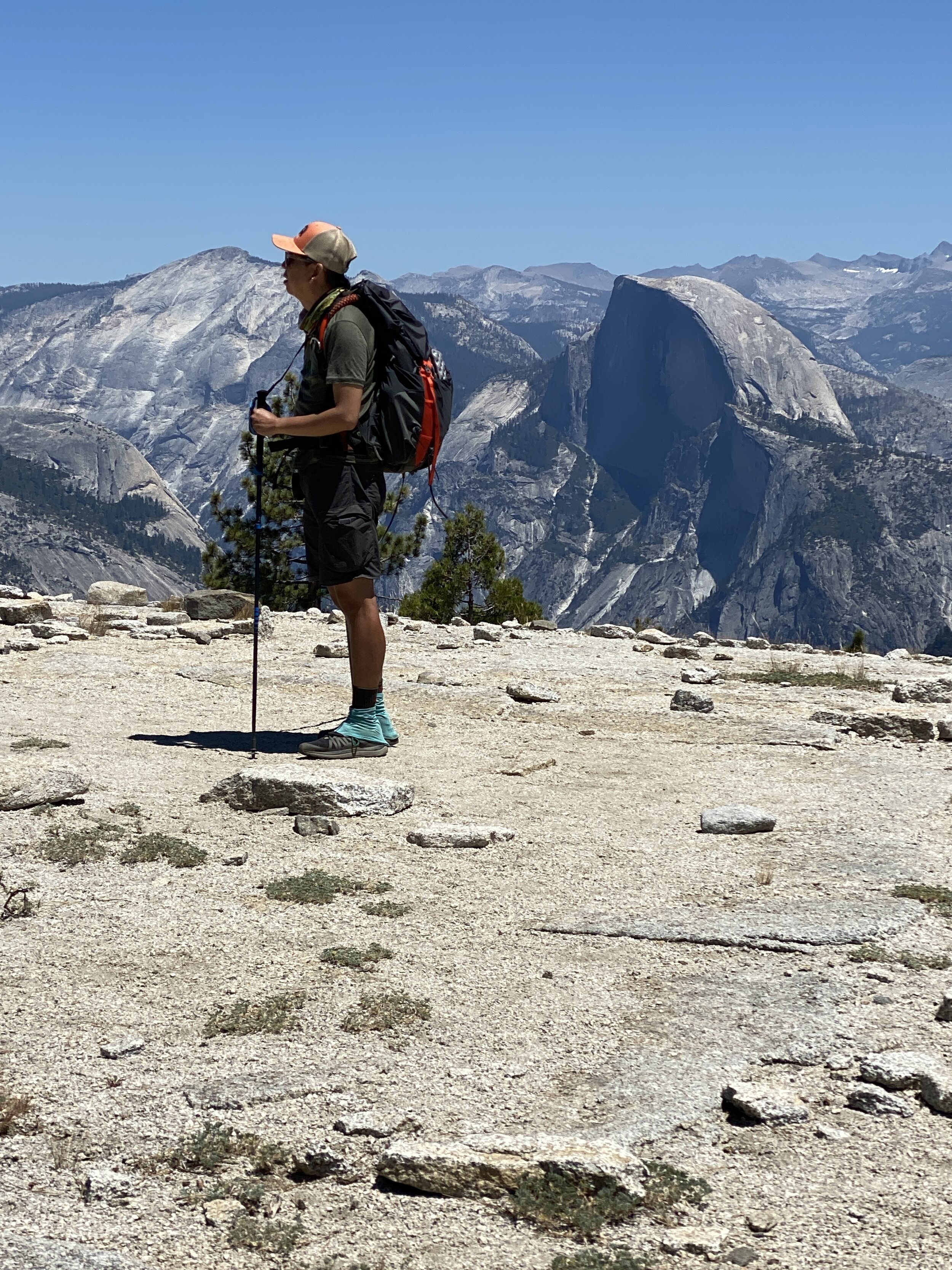
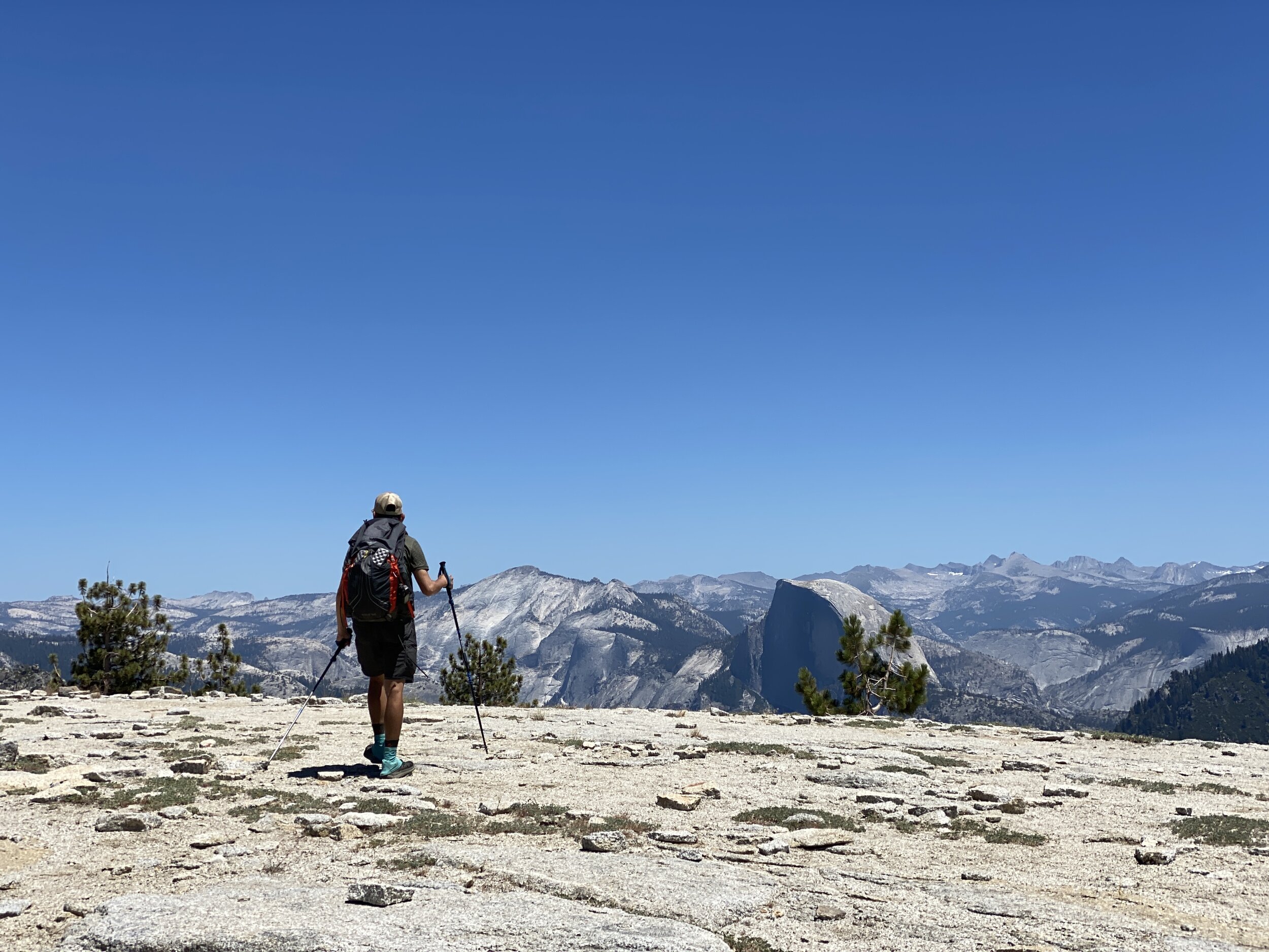
We packed a light pack and set out for a day hike that would cover some 4,500 feet of elevation gain and loss. The trail remains largely forested and gnat-filled, with many downed trees and sometimes strenuously steep sections. Little water was available during this dry year, except at Ribbon Creek. After several miles of ascent and limited views out of the thick tree cover, the trail turns south to reveal El Capitan Gully and the back of El Capitan itself. After miles of heavy forest cover, you reach the crown of one of the world’s largest monoliths as each step opens up more views to the west, south, and east. Half Dome and Yosemite’s other famous features seem within reach — but from a new perspective. We spent a good hour lunching and salivating at the views before returning to Cascade Creek for the night. 

Day 3: Cascade Creek to Old Big Oak Flat Road (4 mi)

We left camp around 8:30am and when arrived back to the trailhead around 10am the heat was already beating down. We contemplated the good work of a California Conservation Corps crew that we had seen a couple of days prior, and appreciated all of the trail clearing and cutting back of vegetation these young women and men did so we could enjoy the trail that much more (the CCC’s motto doesn’t beat around the bush: “Hard work, low pay, miserable conditions”). We drove down to the Valley and soaked our feet in the Merced River before leaving Yosemite with a pile of new memories. 
68F4E02E-6EED-4828-BAF6-49961219B654.JPG
IMG_1060.jpg
IMG_1069.jpg
IMG_1006.jpg
IMG_1016.jpg
IMG_1074.jpeg
IMG_1084.jpeg
IMG_1011.jpg
IMG_1015.jpg
IMG_1009.jpeg
IMG_1033.jpg
IMG_1096.jpg
68F4E02E-6EED-4828-BAF6-49961219B654.JPG IMG_1060.jpg IMG_1069.jpg IMG_1006.jpg IMG_1016.jpg IMG_1074.jpeg IMG_1084.jpeg IMG_1011.jpg IMG_1015.jpg IMG_1009.jpeg IMG_1033.jpg IMG_1096.jpg
Click for Old Big Oak Flat to El Capitan Map (Caltopo)

Miscellaneous Details and Recommendations

Permits: Normally, 60% of Yosemite’s backcountry permits are reservable in advance and 40% of permits are available as walk-ins starting 11am the day before the hike. This year all were reservable in advance due to the pandemic.

Weather: Be ready for all weather, anytime of year. Though there was little snow to speak of this year (see our South Lake to North Lake post to compare what the end of July looks like in a heavy snow year), dramatic afternoon thunderstorms are common in the Sierra during summer. Though usually short, they can continue on-and-off for hours and can dump plenty of rain and hail. In lower elevations, be ready for high summer daytime temps (90s are common).

Maps: Tom Harrison and National Geographic maps are available for Yosemite. Free PDF downloads of USGS Quads are available through National Geographic. And of course there are tons of apps you can use, but those don’t replace the type of map that doesn’t require battery.

Bears: Hiking in bear country means that use of bear canisters is mandatory. You can rent or buy canisters from many outdoor outfitters, or you can rent one in Yosemite for a nominal fee.

Campfires: Normally, Yosemite NP allows wood fires in existing fire ring below 9,600’ unless there are additional fire restrictions due to drought or other conditions. This year the park was under Stage 2 fire restrictions, meaning no fires are allowed in the backcountry. Layer properly and don't even think about having a campfire.

Leave No Trace: This leads to a good reminder to practice Leave No Trace principles whenever you find yourself exploring wildernesses near and far, especially in this age of increased wilderness usage and easy social media sharing and finding of pristine destinations. Nobody wants to discover a smudged patch of “Sierra white flower” (aka used toilet paper) while communing with nature. Pack it in, pack it out — and heck, bring an extra trash bag with you and pick up bits of garbage along your journey on the way! With a shared stewardship ethic, we'll be fortunate to continue enjoying our public lands and leave them better than we find them for future generations. 

Yield to uphill hikers: Just do it. And root for them while you’re at it!

In Travel Tags Yosemite, Grand Canyon of the Tuolumne, Backpacking, El Capitan, Pika, High Sierra, Sierra Nevada, trip report, itinerary
← Spellbound | Wanderings Through the Witching HourPsyche | Introspections In an Era of Uncertainty →
Dear Antlerby Jedediah Cornelius Antler"The buck stops here."The advice and musings of the swankiest eight-point buck you'll ever meet.

Dear Antler

by Jedediah Cornelius Antler

"The buck stops here."

The advice and musings of the swankiest eight-point buck you'll ever meet.


See all art posts

See all travel posts

Subscribe

 Be a true "Jedhead" and sign up for our mailing list here. 

We respect your privacy. Truly

Jed says thank you!

No results found

blog
Hooves on the Ground: Onion Valley to Sixty Lake Basin and Col
about 2 years ago
Hooves on the Ground: Grand Canyon's Clear Creek Trail and Cheyava Falls
about 2 years ago
Hooves on the Ground: Miter Basin
about 3 years ago
Hooves on the Ground: Tyee/Midnight/Hungry Packer Lakes, John Muir Wilderness
about 3 years ago
Hooves on the Ground: Yosemite's Murphy Creek to Tuolumne Crest in the early season
about 3 years ago
Hooves on the Ground: Grand Canyon's Tanner Trail and Escalante Route
about 3 years ago
Hooves on the Ground: Mineral King Loop via Timber Gap and Lost Canyon
about 3 years ago
Hooves on the Ground: Darwin, Evolution, and Piute Canyons via Lamarck Col and Piute Pass
about 4 years ago
Hooves on the Ground: Thousand Island Lake via Rush Creek
about 5 years ago
Hooves on the Ground: Grand Canyon's Hermit-Boucher Loop
about 5 years ago
Elements of Existence
about 5 years ago
Spellbound | Wanderings Through the Witching Hour
about 5 years ago
Hooves on the Ground: Yosemite's Grand Canyon of the Tuolumne and Old Big Oak Flat Road to El Capitan
about 6 years ago
Psyche | Introspections In an Era of Uncertainty
about 6 years ago
Hooves on the Ground: Death Valley Albatross Plane Crash Site
about 6 years ago
Hooves on the Ground: High Sierra Trail
about 6 years ago
Suspension
about 7 years ago
Hooves on the Ground: Nepal
about 7 years ago
Hooves on the Ground: Cottonwood Pass and Lakes Loop (Miter Basin and Mt. Langley)
about 8 years ago
The Troubles We Carry
about 8 years ago

© dearantler 2013-2026. All rights reserved.