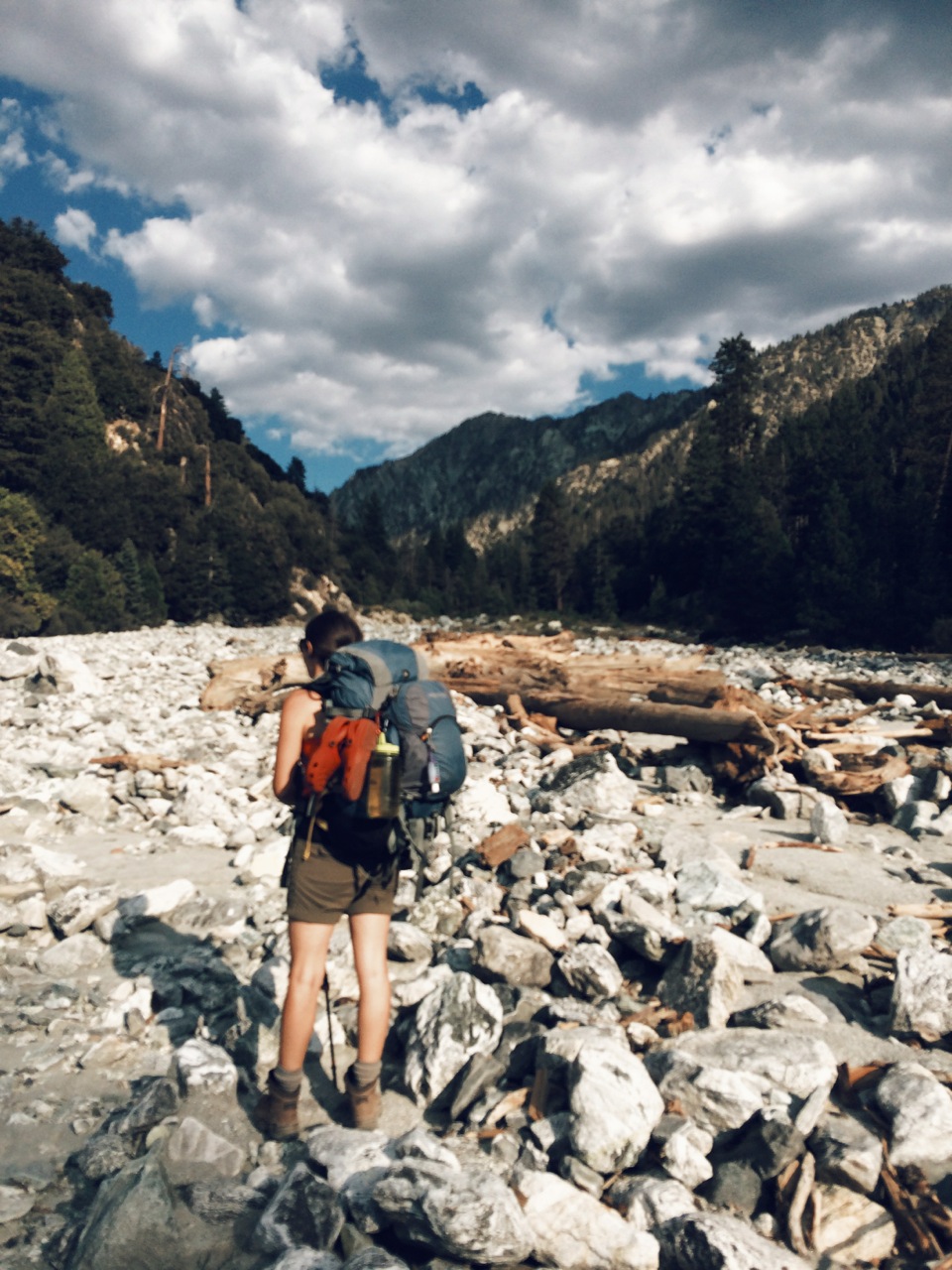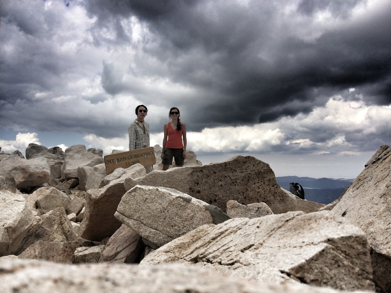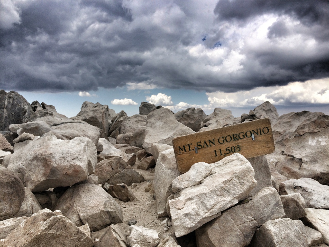


With summer winding down and higher elevations soon becoming inhospitable and inaccessible, we set out for an impromptu trip to Southern California's tallest peak, San Gorgonio Mountain. "Old Grayback," as it's nicknamed, is in the San Bernardino Mountains and is part of an expansive wilderness (home to many of my deer relatives) about 10 miles southeast of Big Bear Lake and 20 miles northwest of Palm Springs.
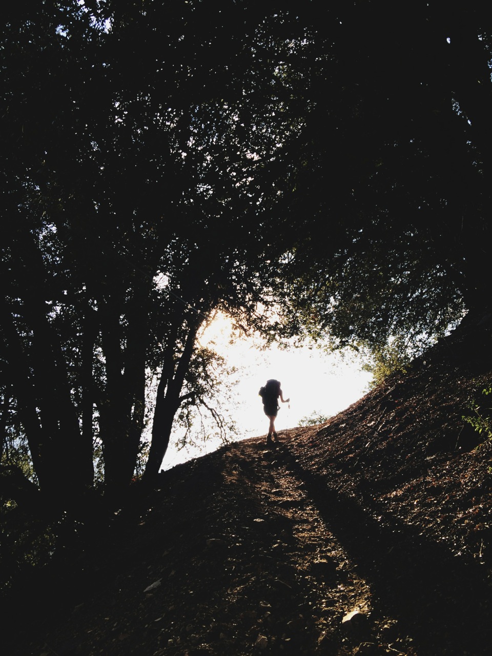
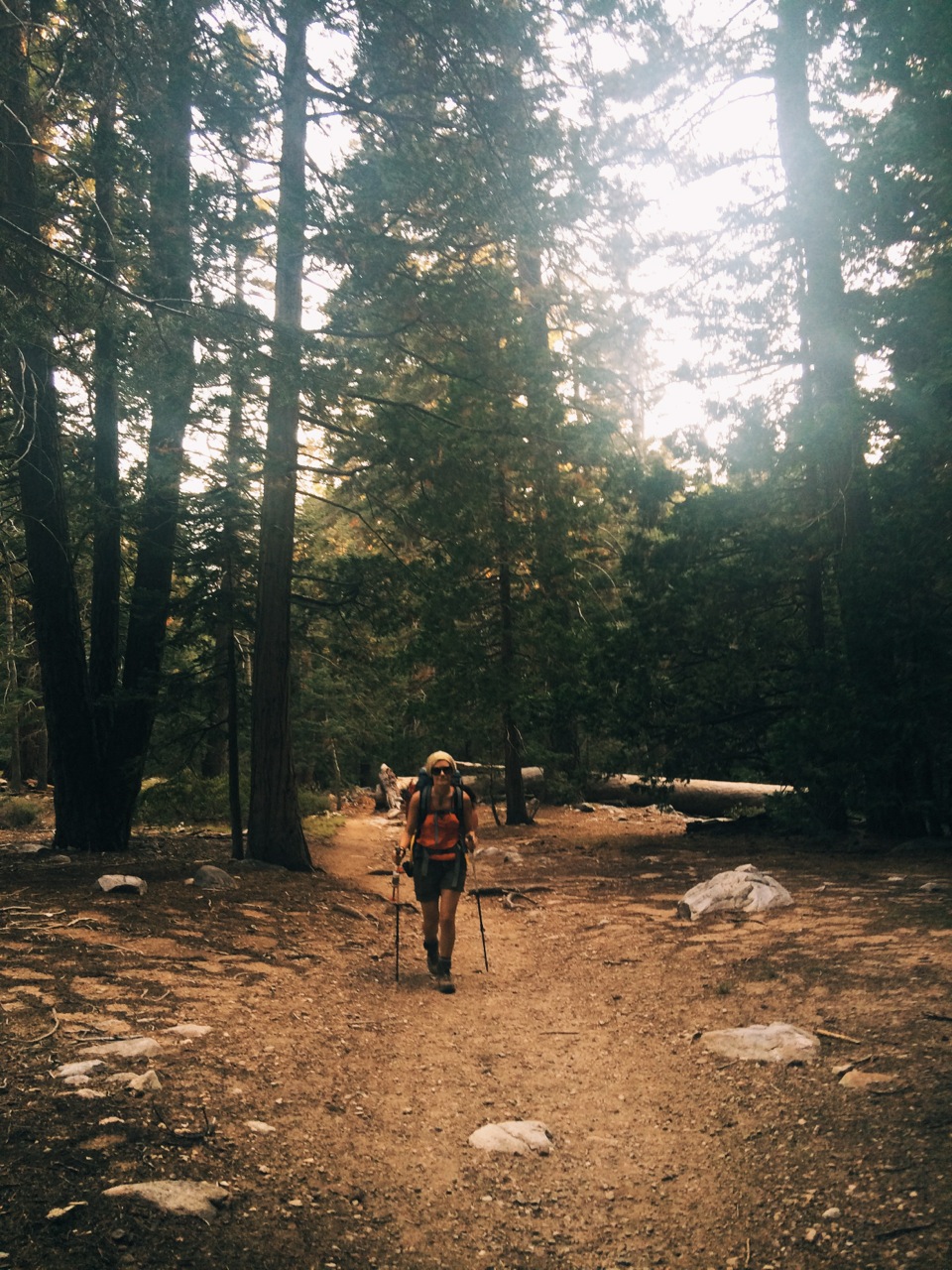
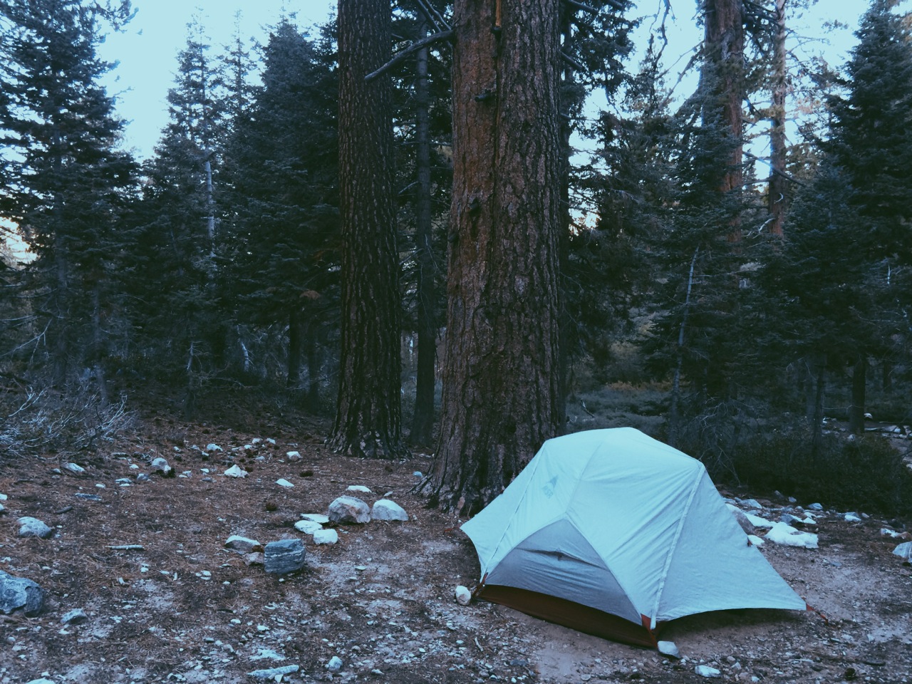
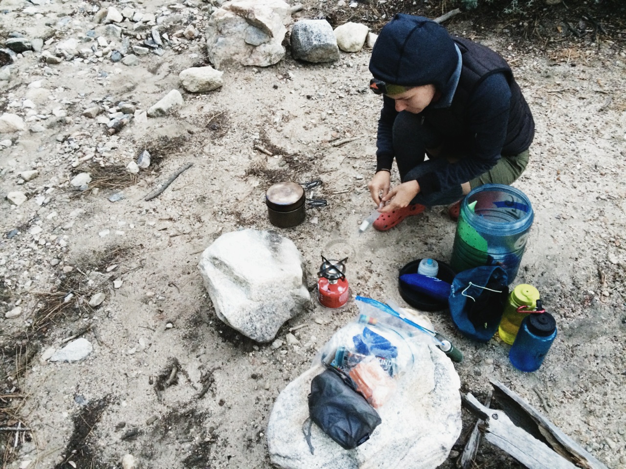
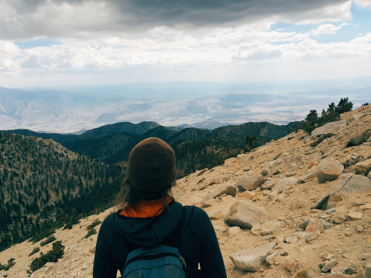
There are many different trails to the summit, which is a popular destination with hikers training their legs and lungs for Mt. Whitney. E+J and I did an overnighter and decided the shortest but steepest route was the way to go. But enough of this buck's prose. Following is how E experienced the mountain (as recorded in her travel journal), and how J saw it (in photographs).
We hope you get inspired to hike this classic. And if you do, make sure to check out the San Gorgonio Wilderness Association's website for information about trails, camping and obtaining a mandatory hiking permit.