• blog
  • gallery
  • shop
  • archive
  • about
Menu

dearantler

  • blog
  • gallery
  • shop
  • archive
  • about
Featured
IMG_3004 2.JPG
Travel
Hooves on the Ground: Onion Valley to Sixty Lake Basin and Col
Travel
Travel
IMG_8926.JPG
Travel
Hooves on the Ground: Grand Canyon's Clear Creek Trail and Cheyava Falls
Travel
Travel
IMG_6880.jpg
Travel
Hooves on the Ground: Miter Basin
Travel
Travel
IMG_6422.jpg
Travel
Hooves on the Ground: Tyee/Midnight/Hungry Packer Lakes, John Muir Wilderness
Travel
Travel
IMG_5896.jpg
Travel
Hooves on the Ground: Yosemite's Murphy Creek to Tuolumne Crest in the early season
Travel
Travel
IMG_5334 2.jpg
Travel
Hooves on the Ground: Grand Canyon's Tanner Trail and Escalante Route
Travel
Travel
IMG_3418.JPG
Travel
Hooves on the Ground: Mineral King Loop via Timber Gap and Lost Canyon
Travel
Travel
Hooves on the Ground: Darwin, Evolution, and Piute Canyons via Lamarck Col and Piute Pass
Travel
Hooves on the Ground: Darwin, Evolution, and Piute Canyons via Lamarck Col and Piute Pass
Travel
Travel
ThousandIsland.jpg
Travel
Hooves on the Ground: Thousand Island Lake via Rush Creek
Travel
Travel
IMG_3348.JPG
Travel
Hooves on the Ground: Grand Canyon's Hermit-Boucher Loop
Travel
Travel
DEARANTLER-SLIDER-2-1.png
Art
Elements of Existence
Art
Art
spellbound banner.png
Art
Spellbound | Wanderings Through the Witching Hour
Art
Art
IMG_0889.jpg
Travel
Hooves on the Ground: Yosemite's Grand Canyon of the Tuolumne and Old Big Oak Flat Road to El Capitan
Travel
Travel
psyche.jpg
Art
Psyche | Introspections In an Era of Uncertainty
Art
Art
LRG_DSC06553.JPG
Travel
Hooves on the Ground: Death Valley Albatross Plane Crash Site
Travel
Travel
HST map illustration.JPG
Travel
Hooves on the Ground: High Sierra Trail
Travel
Travel
Suspension.png
Art
Suspension
Art
Art
Hooves on the Ground: Nepal
Travel
Hooves on the Ground: Nepal
Travel
Travel
Hooves on the Ground: Cottonwood Pass and Lakes Loop (Miter Basin and Mt. Langley)
Travel
Hooves on the Ground: Cottonwood Pass and Lakes Loop (Miter Basin and Mt. Langley)
Travel
Travel
The Troubles We Carry
Art
The Troubles We Carry
Art
Art
Hooves on the Ground: South Lake to North Lake (Evolution Loop)
Travel
Hooves on the Ground: South Lake to North Lake (Evolution Loop)
Travel
Travel
Travel
Hooves on the Ground: Grand Canyon
Travel
Travel
Wanderlust: Hiking on Legendary Trails
Travel
Wanderlust: Hiking on Legendary Trails
Travel
Travel
Peru+Map.jpg
Travel
Hooves on the Ground: Perú
Travel
Travel
Art
Notorious/Glorious
Art
Art
Art
dearantler turns 3!
Art
Art
Art
Music Video for Sara Lov's 'Rain Up'
Art
Art
Travel
Hooves on the Ground: The Palisades
Travel
Travel
Travel
Hooves on the Ground: Tahoe to Yosemite Along the Pacific Crest Trail
Travel
Travel
Art
Strangers On A Trail
Art
Art

View of sunset from camp near Pinto Lake

Hooves on the Ground: Mineral King Loop via Timber Gap and Lost Canyon

November 27, 2022

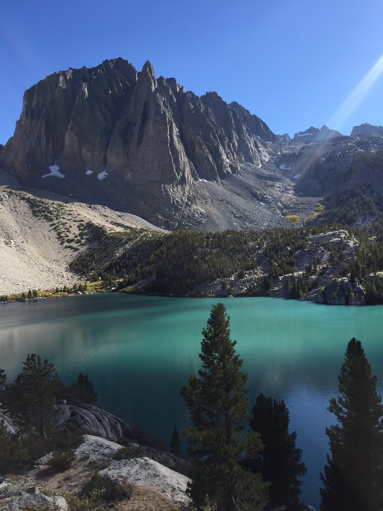
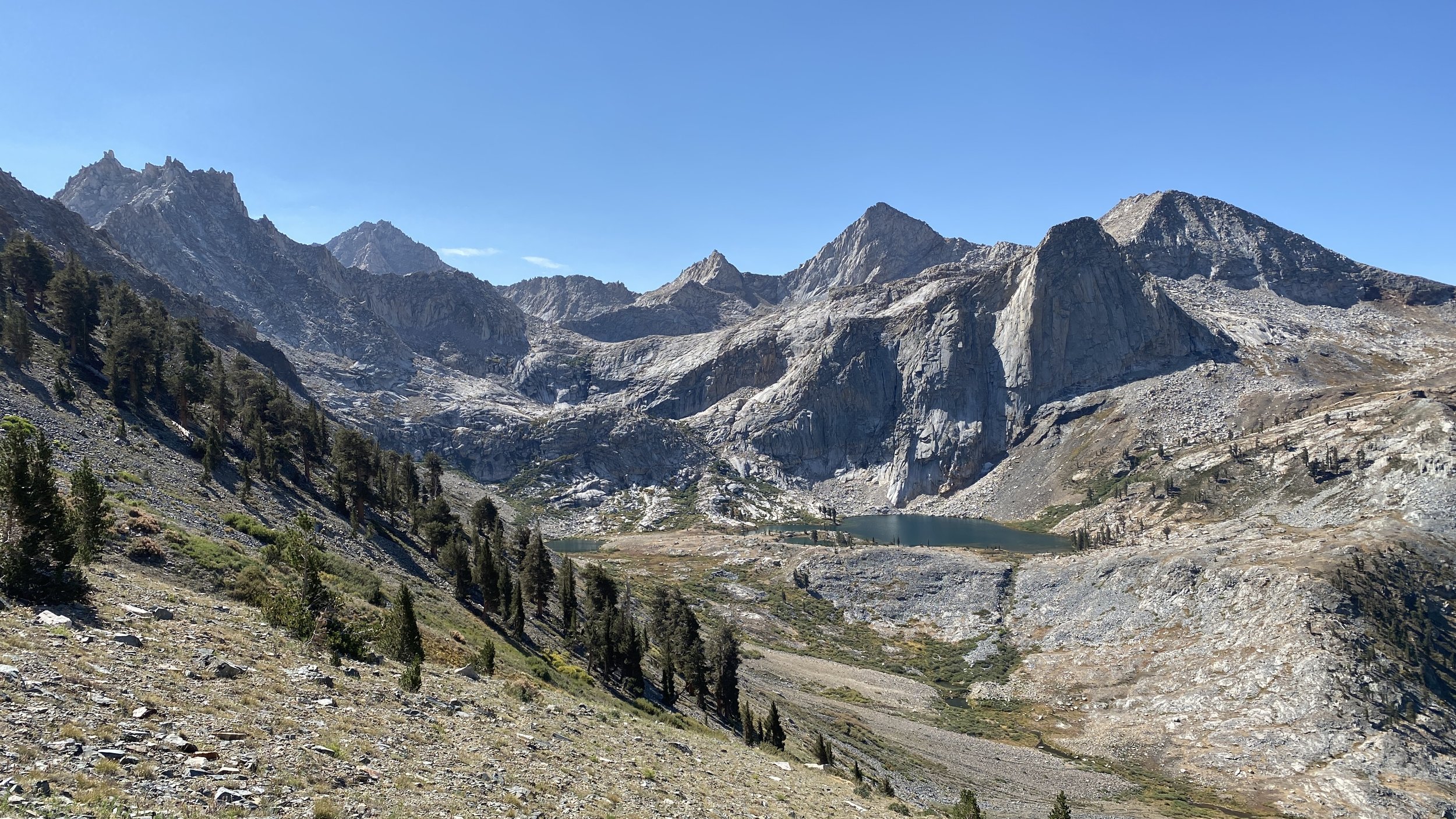
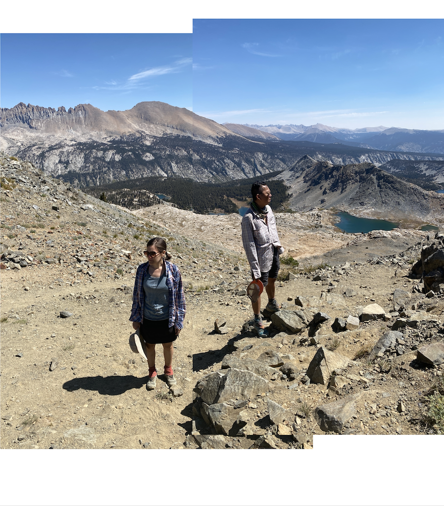
Sequoia National Park’s Mineral King area has a special allure. Reached via a windy, one-lane, 25-mile mining road, this is an area that you don’t just stumble upon. Getting there is a feat, and so too is backpacking in this region. That’s because there is no way to go but up up up from Mineral King’s verdant valley, at 7,500 ft, to the many peaks that dominate above. Luckily the scenic vistas provide ample fuel for any effort expended.

IMG_3452.jpg
IMG_3456.jpg
IMG_3429.jpg
IMG_3415.jpg
IMG_3463.jpg
IMG_3423.jpg
IMG_3435.jpg
IMG_3440.jpg
IMG_3443.jpg
IMG_3461.jpg
IMG_3447.jpg
IMG_3452.jpg IMG_3456.jpg IMG_3429.jpg IMG_3415.jpg IMG_3463.jpg IMG_3423.jpg IMG_3435.jpg IMG_3440.jpg IMG_3443.jpg IMG_3461.jpg IMG_3447.jpg

Mineral King’s story of annexation into Sequoia NP is a vivid and fairly recent demonstration of why wilderness protection should not be taken for granted. If not for the efforts of preservationists, many of the places we think of as nature’s cathedrals could just as easily have been developed, and this fate is palpable at Mineral King. Here we are reminded that the American West could have gone the way of open spaces in the eastern part of the country or even Europe — interstitial natural spaces punctuated by frequent “improvements” and developed areas.

View fullsize IMG_4208.JPG
View fullsize IMG_4233.JPG
View fullsize IMG_4234.JPG
View fullsize IMG_4238.JPG
View fullsize IMG_4257.JPG
View fullsize IMG_4267.JPG
View fullsize IMG_4272.JPG
View fullsize IMG_4278.JPG
View fullsize IMG_3476.jpg

An idyllic and desirable destination, in the middle of the twentieth century Mineral King seemed to be on the path to be developed into a Disney resort. Plans were drawn. Investors were secured. Permits were in the process of being procured. But the Sierra Club didn’t think it was a good idea to pave paradise and put up a parking lot, and they proceeded to find many ways of being an irritating thorn on Disney’s side. After a lengthy struggle, Disney eventually abandoned the project, (un)paving the way for Mineral King’s annexation into the park in the 1970s and guaranteeing its protection in perpetuity.

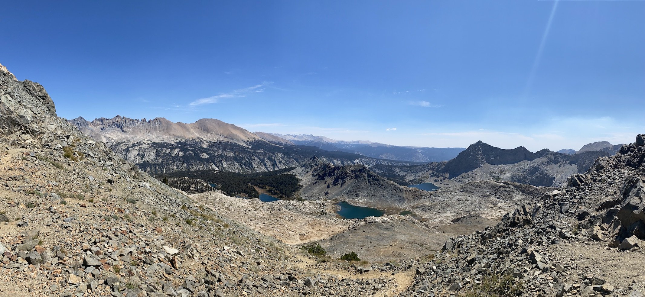
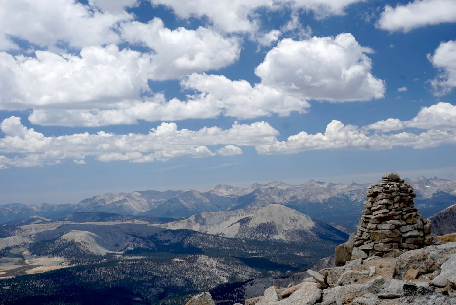
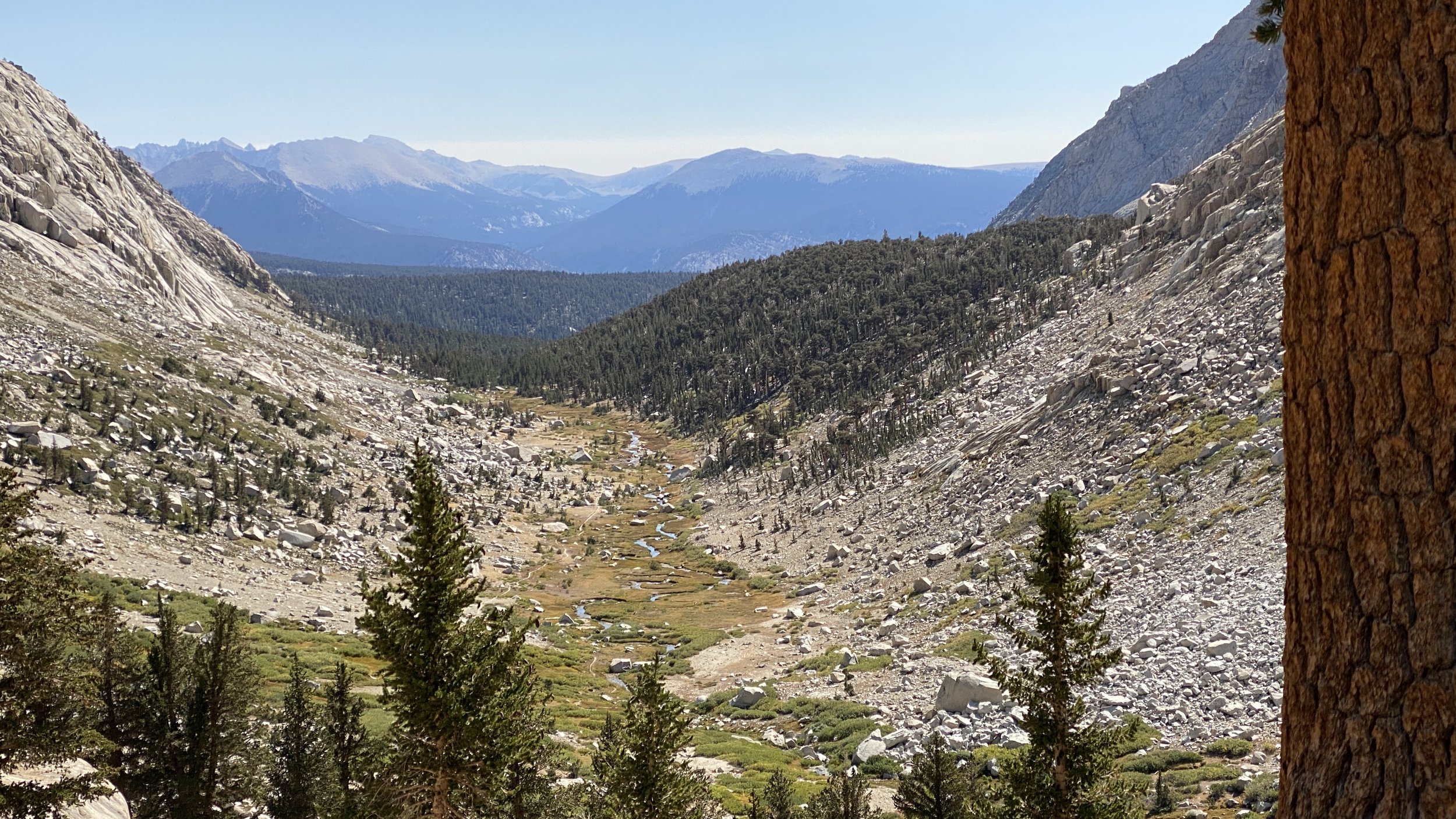
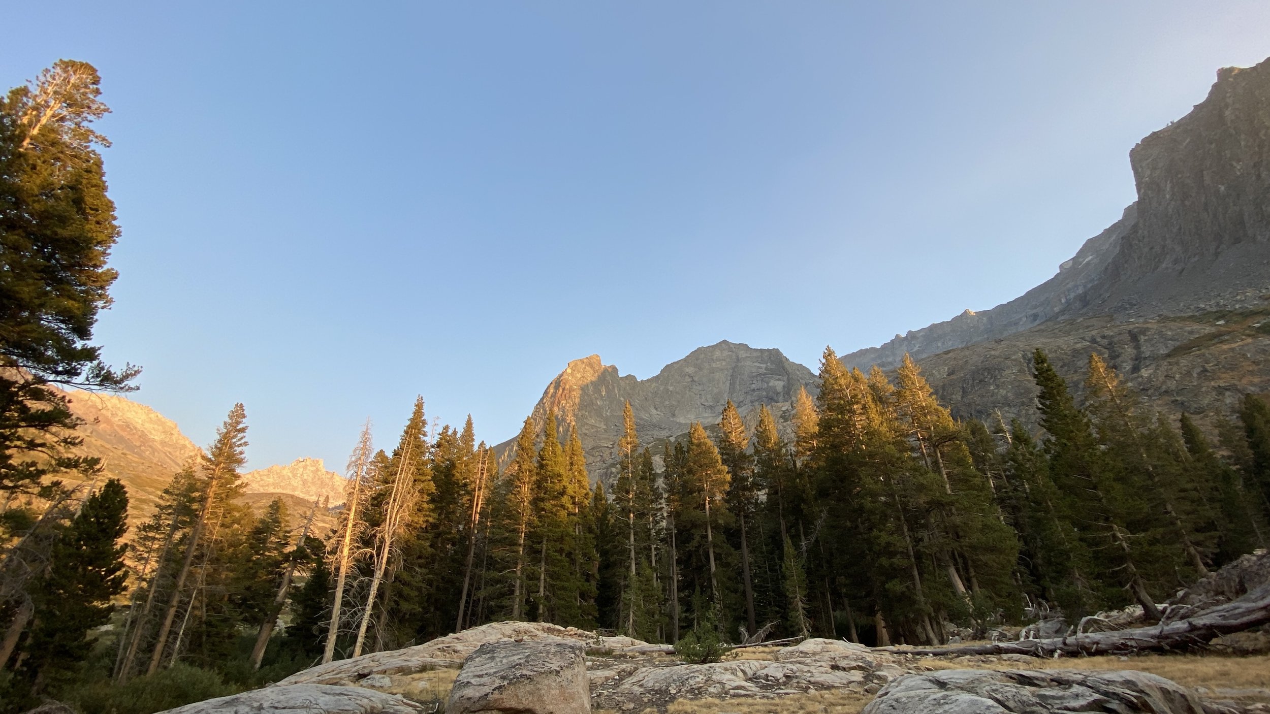
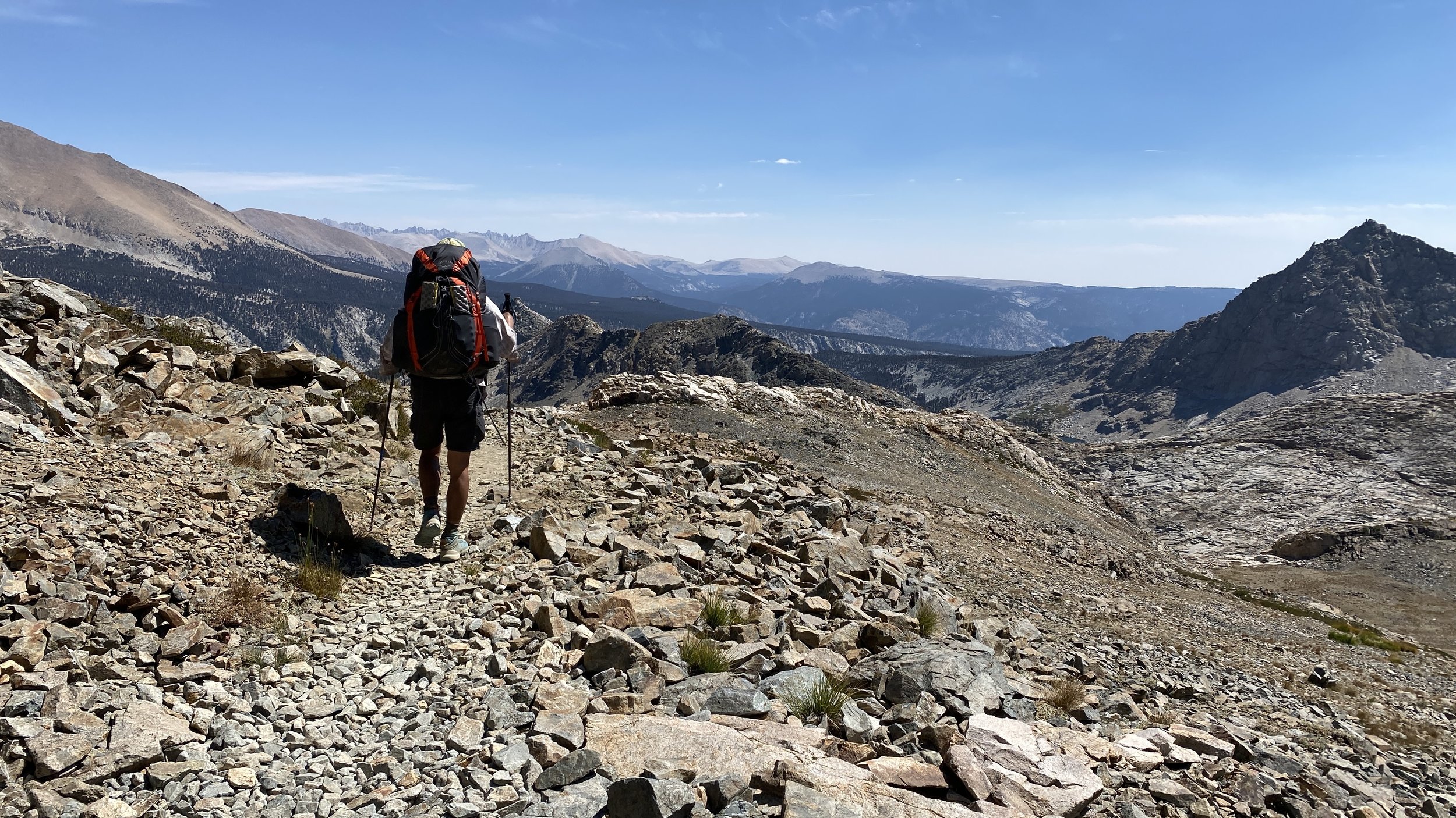
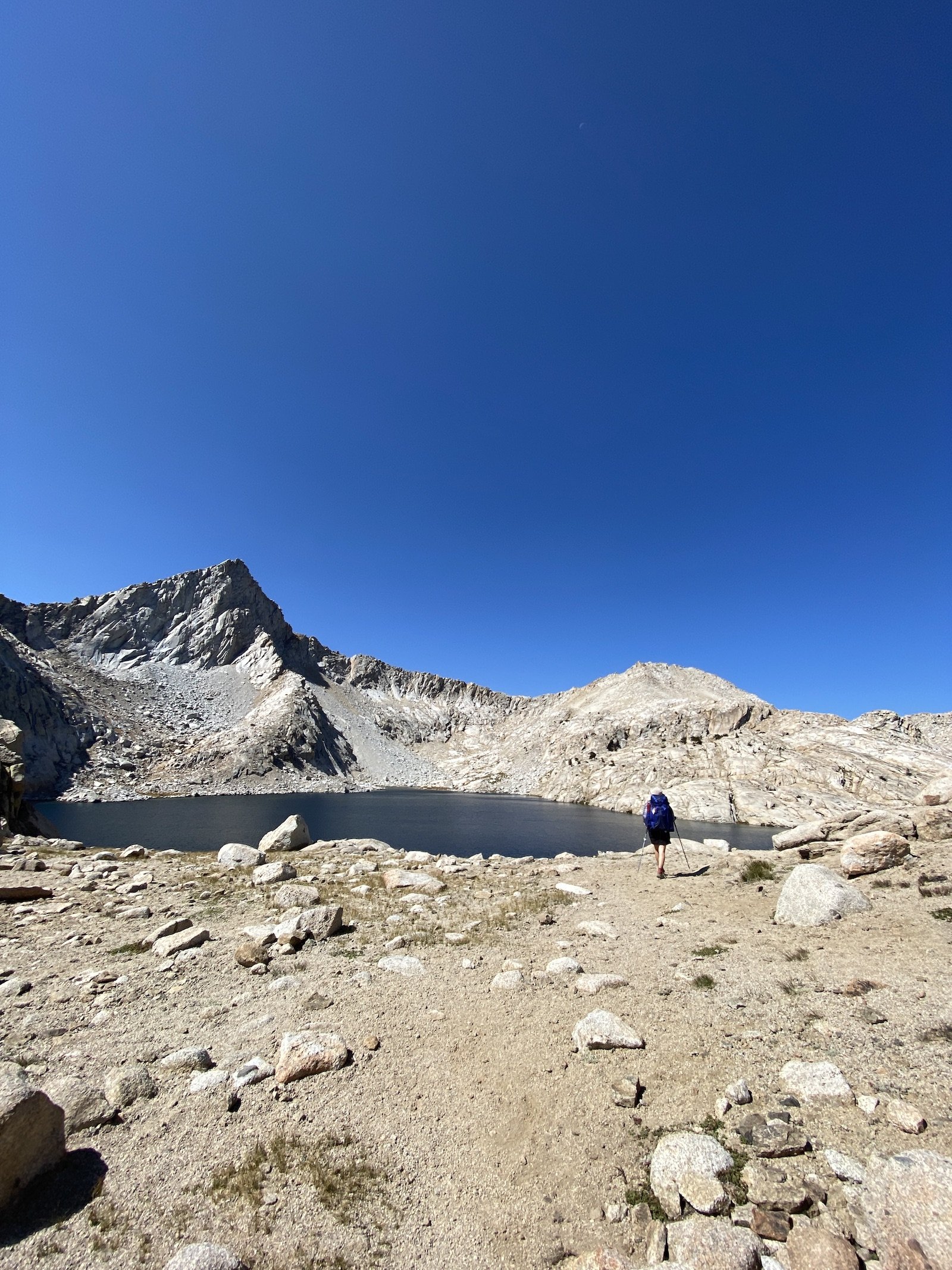
View from the switchbacks near Timber Gap/Sawtooth Pass trailhead. The wispy cloud on the left is smoke from the KNP Complex fire.

Today the threats to Mineral King come in a form different than corporations seeking to develop. We nearly cancelled trip our trip here for a second year in a row due to fire, as peak season to explore the Sierra keeps getting pushed earlier and earlier due to a drying, warming climate. The KNP Complex fire was already burning when we started our hike, prompting us to change our itinerary the morning we started the hike. Ultimately, this fire would burn nearly 90,000 acres in the area.

View fullsize Screen Shot 2022-11-27 at 10.42.24 AM.png
View fullsize Screen Shot 2022-11-27 at 10.27.44 AM.png
View fullsize Screen Shot 2022-11-27 at 10.38.52 AM.png

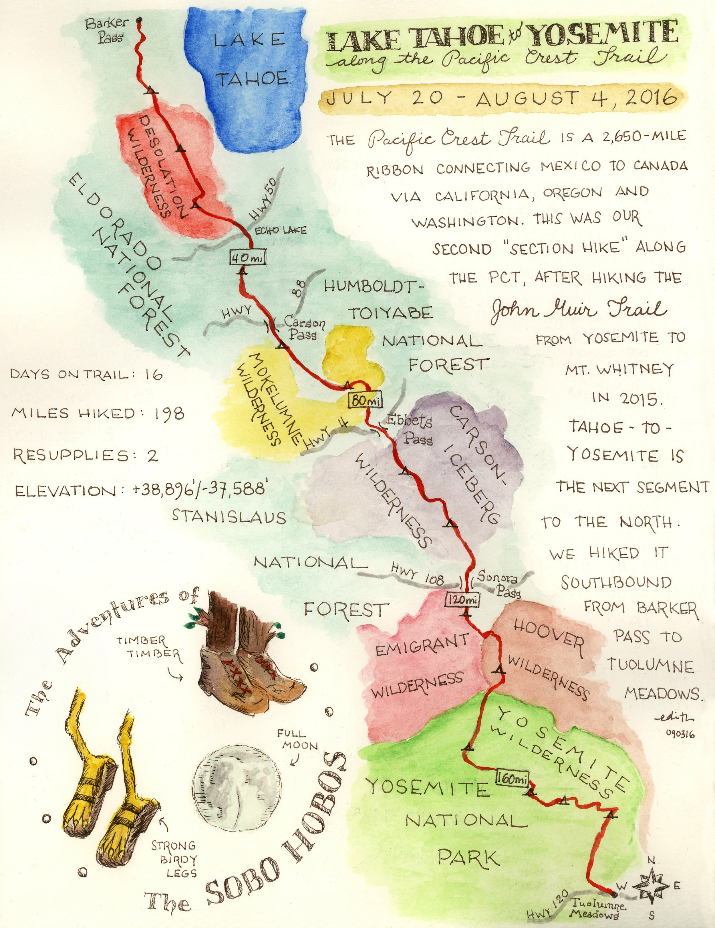
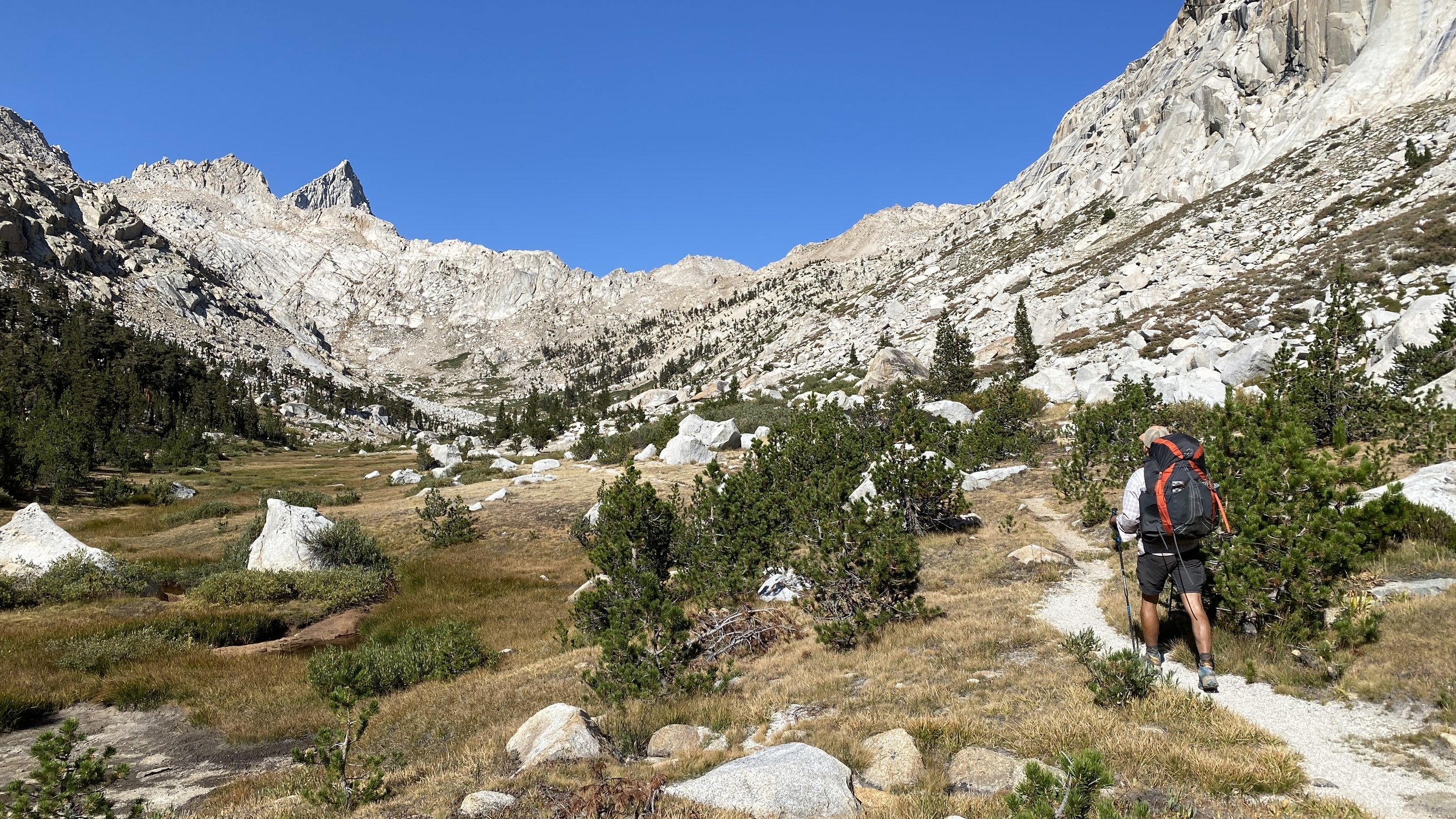
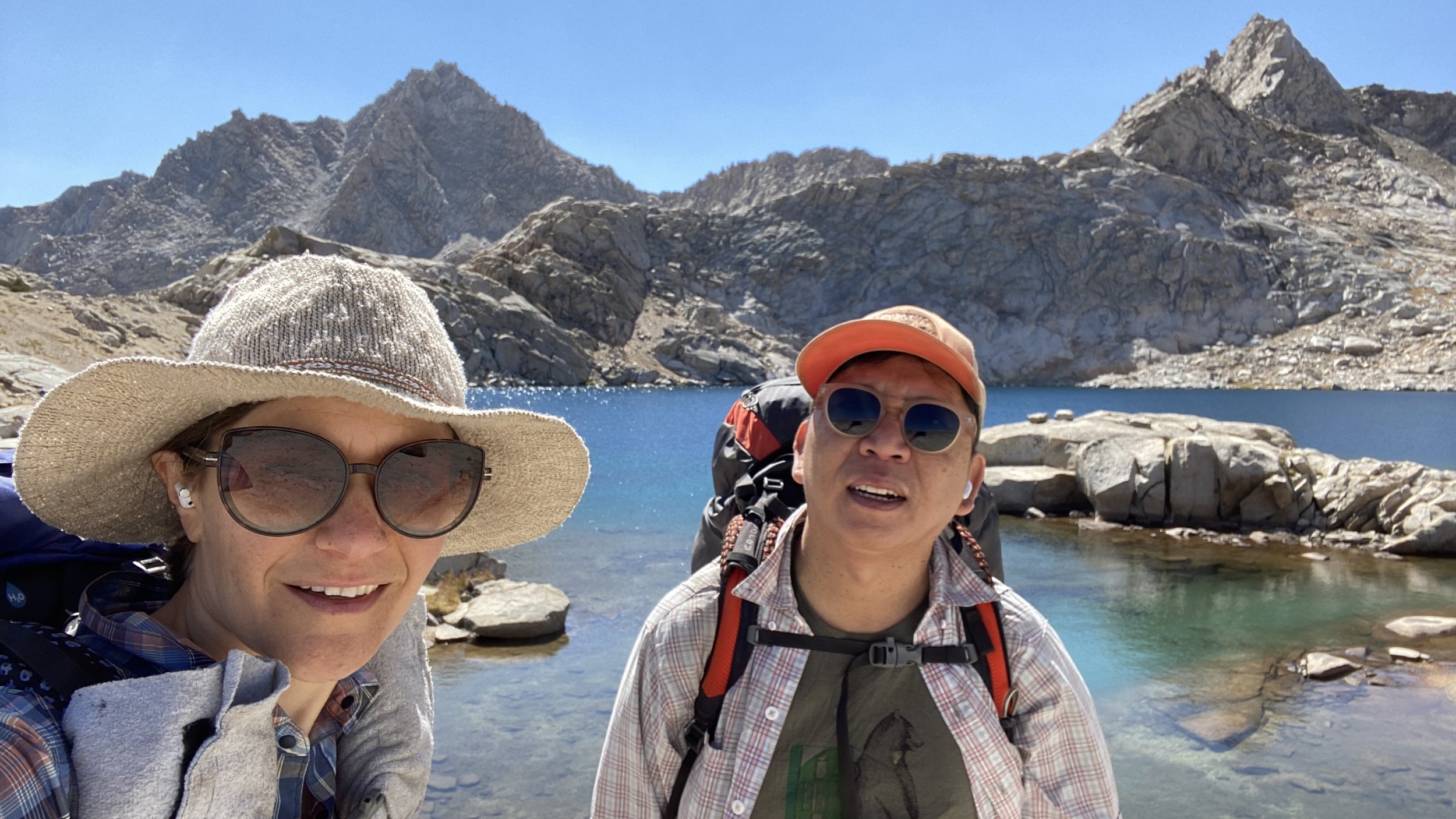
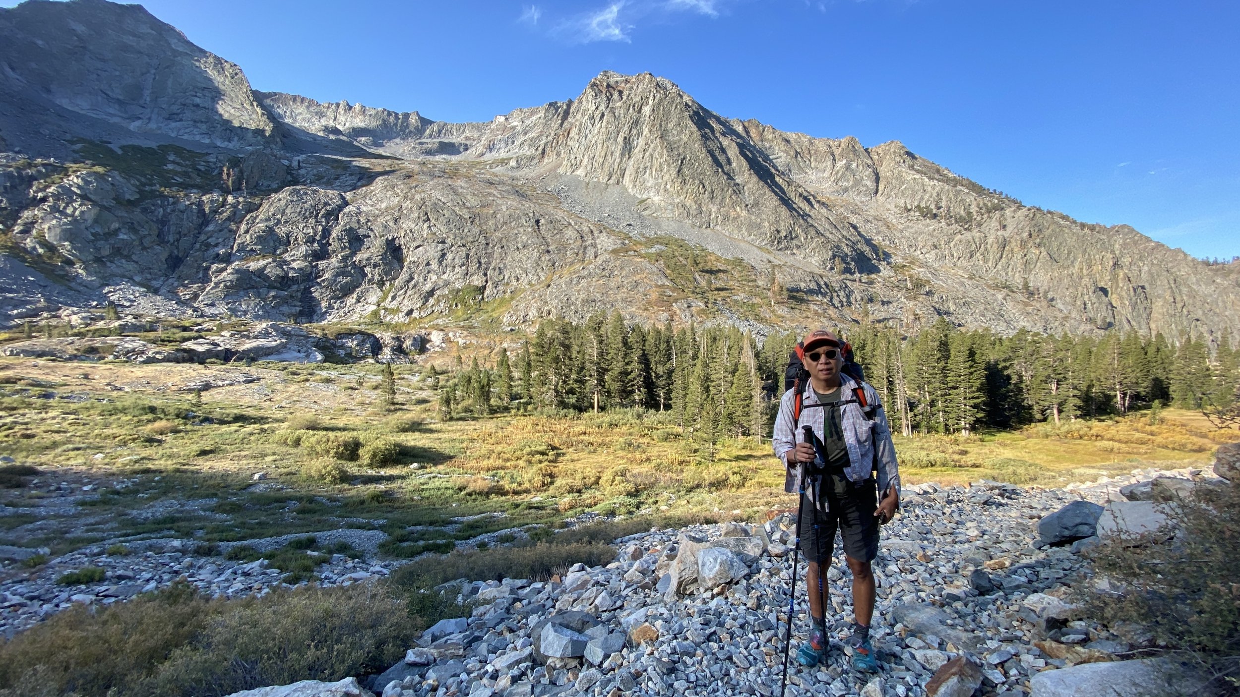
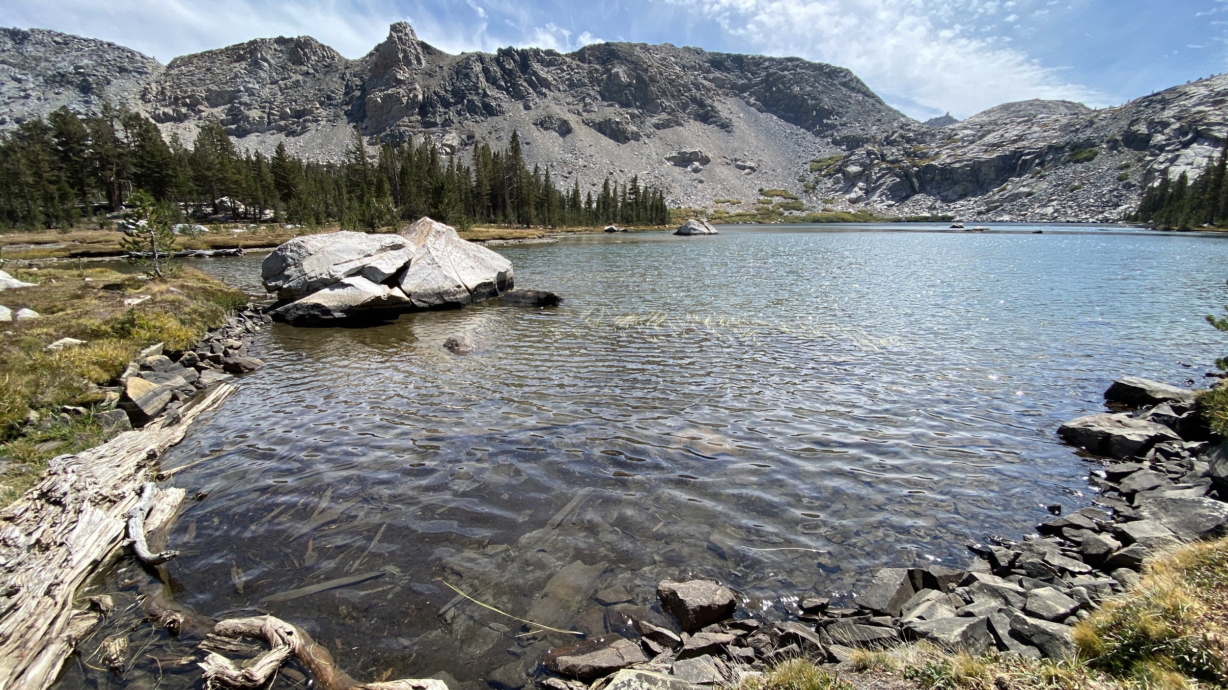
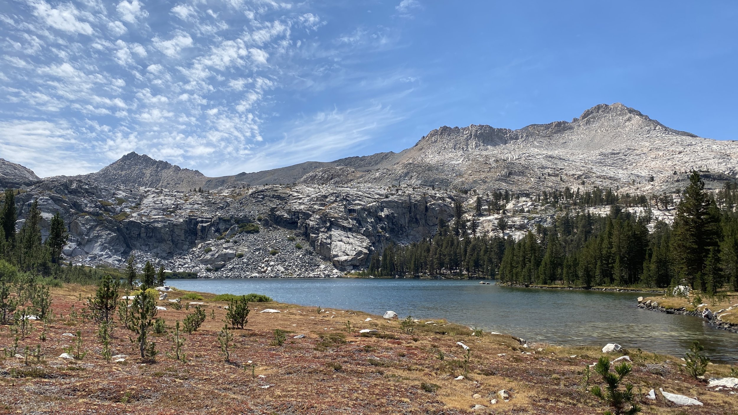
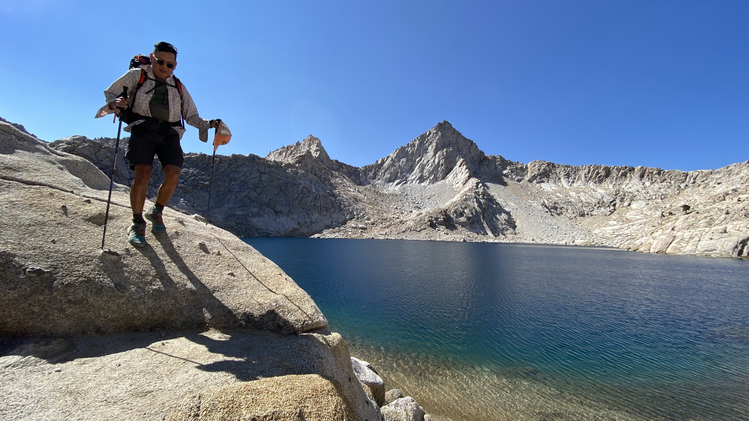
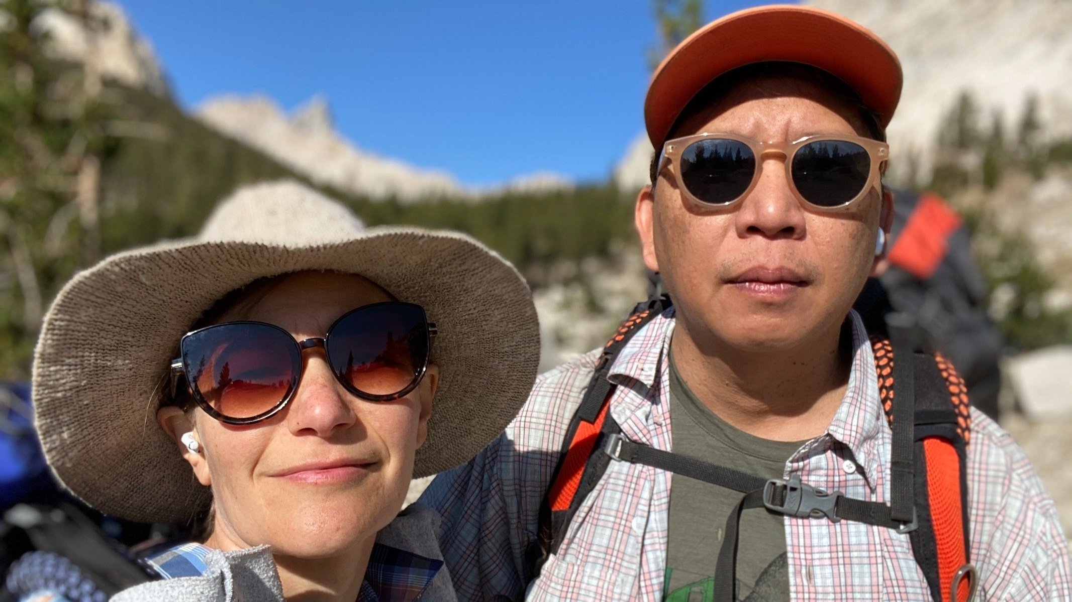
Our loop started at the Timber Gap trailhead. We hiked clockwise, camping near Pinto Lake the first night, and near Lost Canyon on the second . Along the way, we encountered many deer that gave us the opportunity to grow our Attenborough-inspired series about Sierra critters with the latest installment, The Deer Diaries…

Days: 3 (Aug. 29 - Sept. 1, 2021)

Mileage: 32 mi

Elevation Low/High: Sawtooth/Timber trailhead 7,800'; Sawtooth Pass 11,558’

Total Elevation Loss/Gain: 9,708’

Camp locations: Pinto Lake, Lost Canyon

In Travel Tags Sequoia National Park, Mineral King, Backpacking, wilderness, California, trip report, itinerary
The final resting place of a Graumann DC-16 Albatross that crash landed during a CIA operation in 1952

The final resting place of a Graumann DC-16 Albatross that crash landed during a CIA operation in 1952

Hooves on the Ground: Death Valley Albatross Plane Crash Site

May 11, 2020

Death Valley National Park is a vast land full of surprises waiting to be discovered and explored. From the lowest point in North America at Badwater Basin (282 ft. below sea level) to Telescope Peak (11,049 ft.), Death Valley encompasses multiple mountain ranges, valleys, and countless canyons that offer a giant playground for exploring fascinating geology, jaw-dropping terrain, and interesting human and natural history. As the largest national park outside of Alaska, it offers limitless opportunities for exploration and is one of our favorite places to visit.

Read More
In Travel Tags Death Valley, plane crash, Cottonwood Mountains, hiking, camping, backpacking, California, desert, Sierra Nevada

Watercolor by E

Hooves on the Ground: High Sierra Trail

September 29, 2019

When the Sierra speaks, it’s hard to argue. The HST is a historic traverse of the Range of Light from the verdant and gentle lands at Crescent Meadow in Sequoia National Park’s Giant Forest, to the rugged, weather-beaten escarpments of majestic Mt. Whitney, the highest point in the contiguous U.S. So without further ado, we decided to hike the High Sierra Trail with our pal Torin and see this wonderful stretch of land with our own eyes.

Read More
In Travel Tags Sierra Nevada, Sierra, Eastern Sierra, Mountains, Backpacking, Mount Whitney, Sequoia, Thru-hiking, Elevation, California, Hiking, Highway 395, Watercolor, trip report, itinerary

Wanderlust: Hiking on Legendary Trails

June 29, 2017

We at dearantler are honored to have contributed to the newly-published book Wanderlust: Hiking on Legendary Trails. This beautiful coffee-table book is filled with inspiration and practical tips on hiking some of the world's most enchanting trails. The John Muir Trail chapter includes many of the photos and descriptions of our 2015 JMT trek. The book is published by Berlin-based Gestalten, which has published hundreds of books on art, architecture, design, photography and typography -- and we have been busy reading it to decide which treks to plan next!

Read More
In Travel Tags John Muir Trail, Backpacking, Gestalten, Eastern Sierra, Sierra Nevada, Wanderlust, Sierra, California, John Muir Wilderness, Yosemite, Sequoia, Kings Canyon, Inyo, National Forest, national parks

Watercolor map by E

Hooves on the Ground: Tahoe to Yosemite Along the Pacific Crest Trail

September 10, 2016

Having successfully completed the John Muir Trail in 2015, we were looking to get back out to the Sierra Nevada for another thru-hike this summer. After some consideration of the many options the Sierra affords, we decided to tackle the next section of the Pacific Crest Trail north of the JMT (the JMT itself overlaps with the PCT for most of its length). Starting at Barker Pass, in the northwest Lake Tahoe area, this section travels nearly 200 miles to Yosemite’s Tuolumne Meadows. Along the way, it passes innumerable lakes, creeks and streams, crosses several roads and highways, climbs up and down numerous mountain passes.

Read More
In Travel Tags Backpacking, Thru-hiking, Sierra Nevada, Eastern Sierra, California, Summer, Tahoe, Lake Tahoe, Pacific Crest Trail, John Muir Trail, Desolation Wilderness, wilderness, Mokelumne, Carson-Iceberg, Yosemite, trip report, itinerary
Comment

Hooves on the Ground: Mount Whitney

October 23, 2014

I'm a buck who believes in the ability of members of different species to transcend their differences. But there are some impulses that are present in other species that I just cannot wrap my furry head around. One of these is the human desire to undertake perfectly irrational pursuits for some intangible psychological reward, and along the way risk one's tail. I thought Homo sapiens were supposed to be a knowing species. But after witnessing E+J's latest harebrained outing (and here I apologize to all hares and members of the genus Lepus), I'm beginning to think that all the knowledge collectively held in this bossy, 7-billion-strong bunch doesn't amount to much. 

The idea seemed simple: dayhike up the highest mountain in the contiguous US. But let's break that sentence down.

Read More
In Travel Tags Mount Whitney, Eastern Sierra, Hiking, California, Peakbagging, 14ers, hooves on the ground, Lone Pine, Fossil Falls, Highway 395, Owens Valley, hiking, trip report, itinerary
dial d.png

Dial D for Drought

February 23, 2014

Dear Jedheads,

We’ve all heard the news. California is in a severe drought, the worst in recorded history and possibly in 500 years. As of the week of February 18th, 91 percent of the state was experiencing severe to exceptional drought, according to the U.S. Drought Monitor. California’s “Golden State” moniker is gaining new meaning as hundreds of thousands of acres of cropland go fallow and our state’s role as the nation’s breadbasket is threatened.

Couldn’t we just pick up the phone and “dial D for drought” to alert government agencies to do something about it? In the face of a problem of such epic proportions, can individual action really amount to anything meaningful?

Read More
In Art Tags Art, artshow, Dial D for Drought, Drought, Water, California
Dear Antlerby Jedediah Cornelius Antler"The buck stops here."The advice and musings of the swankiest eight-point buck you'll ever meet.

Dear Antler

by Jedediah Cornelius Antler

"The buck stops here."

The advice and musings of the swankiest eight-point buck you'll ever meet.


See all art posts

See all travel posts

Subscribe

 Be a true "Jedhead" and sign up for our mailing list here. 

We respect your privacy. Truly

Jed says thank you!


blog
Hooves on the Ground: Onion Valley to Sixty Lake Basin and Col
about 9 months ago
Hooves on the Ground: Grand Canyon's Clear Creek Trail and Cheyava Falls
about a year ago
Hooves on the Ground: Miter Basin
about a year ago
Hooves on the Ground: Tyee/Midnight/Hungry Packer Lakes, John Muir Wilderness
about a year ago
Hooves on the Ground: Yosemite's Murphy Creek to Tuolumne Crest in the early season
about a year ago
Hooves on the Ground: Grand Canyon's Tanner Trail and Escalante Route
about 2 years ago
Hooves on the Ground: Mineral King Loop via Timber Gap and Lost Canyon
about 2 years ago
Hooves on the Ground: Darwin, Evolution, and Piute Canyons via Lamarck Col and Piute Pass
about 3 years ago
Hooves on the Ground: Thousand Island Lake via Rush Creek
about 3 years ago
Hooves on the Ground: Grand Canyon's Hermit-Boucher Loop
about 4 years ago
Elements of Existence
about 4 years ago
Spellbound | Wanderings Through the Witching Hour
about 4 years ago
Hooves on the Ground: Yosemite's Grand Canyon of the Tuolumne and Old Big Oak Flat Road to El Capitan
about 4 years ago
Psyche | Introspections In an Era of Uncertainty
about 4 years ago
Hooves on the Ground: Death Valley Albatross Plane Crash Site
about 5 years ago
Hooves on the Ground: High Sierra Trail
about 5 years ago
Suspension
about 6 years ago
Hooves on the Ground: Nepal
about 6 years ago
Hooves on the Ground: Cottonwood Pass and Lakes Loop (Miter Basin and Mt. Langley)
about 6 years ago
The Troubles We Carry
about 7 years ago

© dearantler 2013-2024. All rights reserved.