
Curatorial work

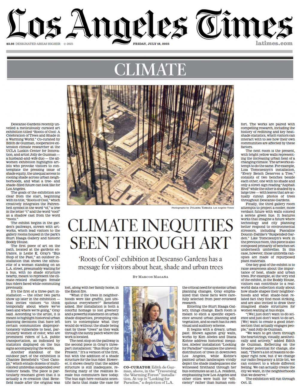
An LA Times feature by Marcos Magaña about Roots of Cool ran online and in print (click image)
Roots of Cool: A Celebration of Trees and Shade in a Warming World
Descanso Gardens, La Cañada Flintridge, CA | July 12 — October 12, 2025
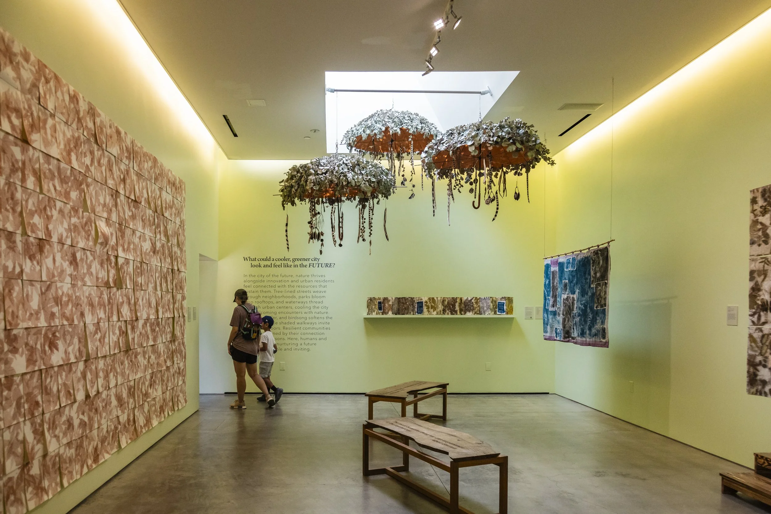
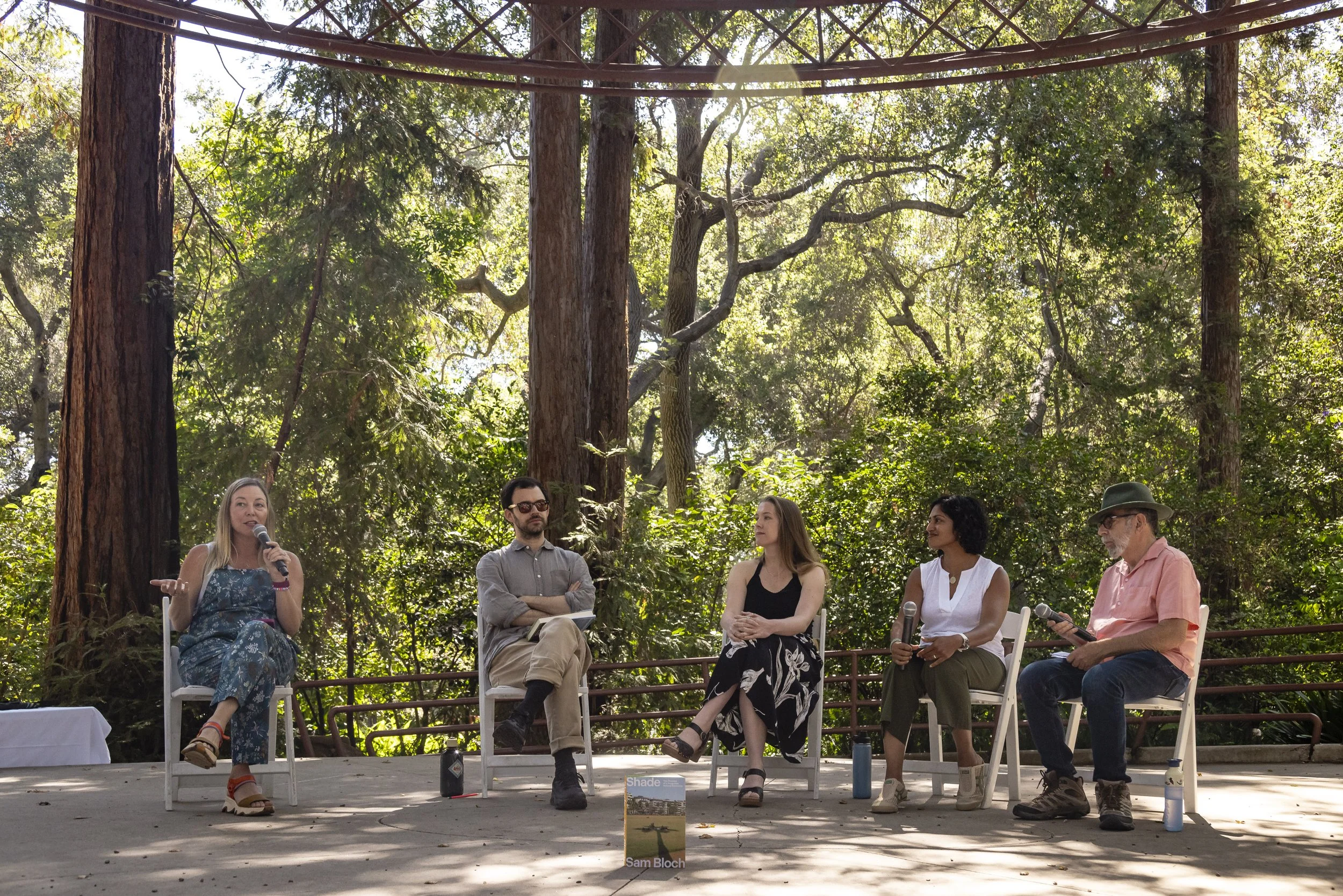
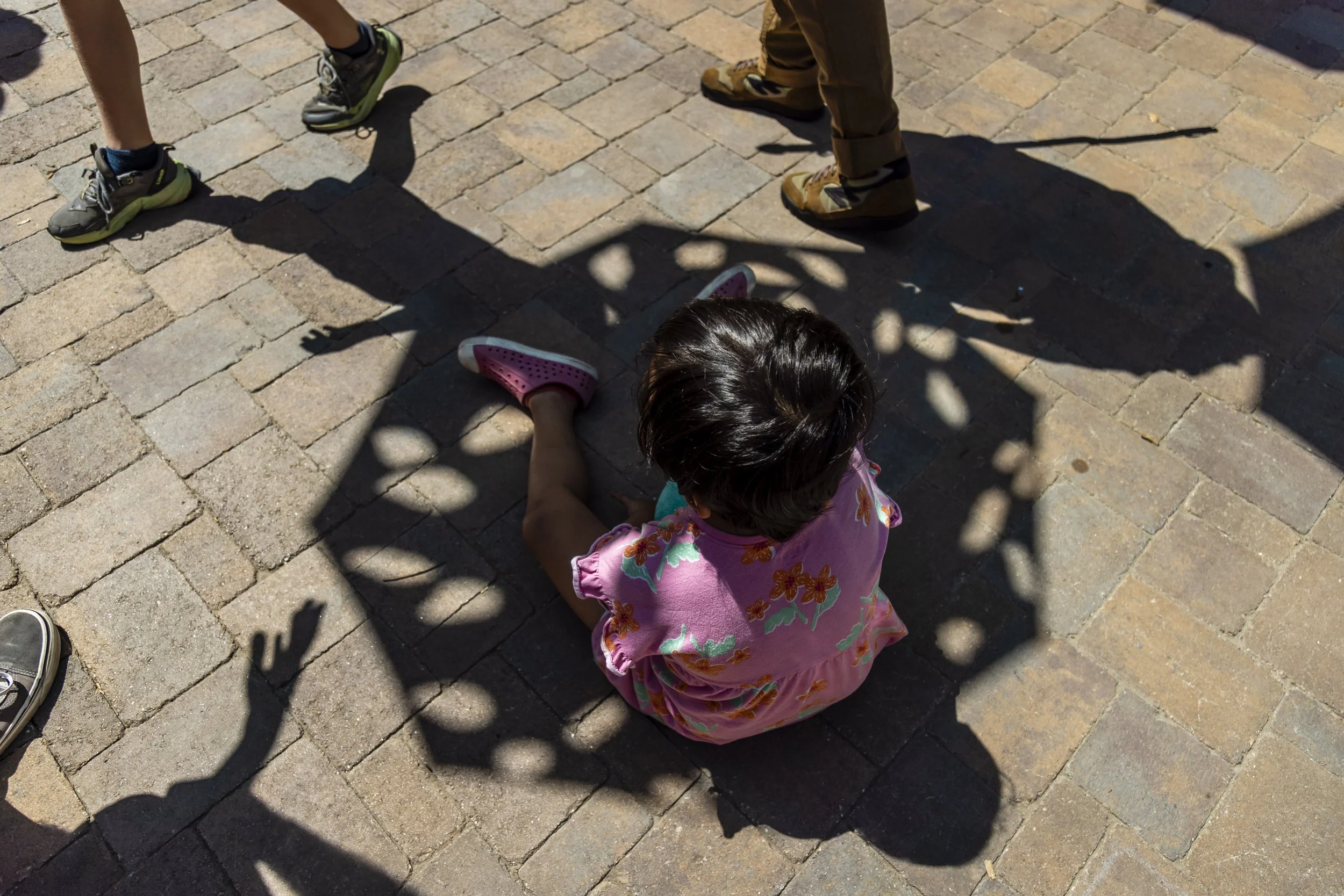
In a warming world, shade and the cooling benefits of trees are essential, but not every community has the same access. To tackle this topic, we curated a science-based exhibition on shade equity and the life-giving role trees and shade play in a hotter climate, which was on view in the summer and early fall of 2025 at Descanso Gardens — a botanic garden, living museum, and premier LA County Department of Parks & Recreation destination with over 1 million annual visitors.
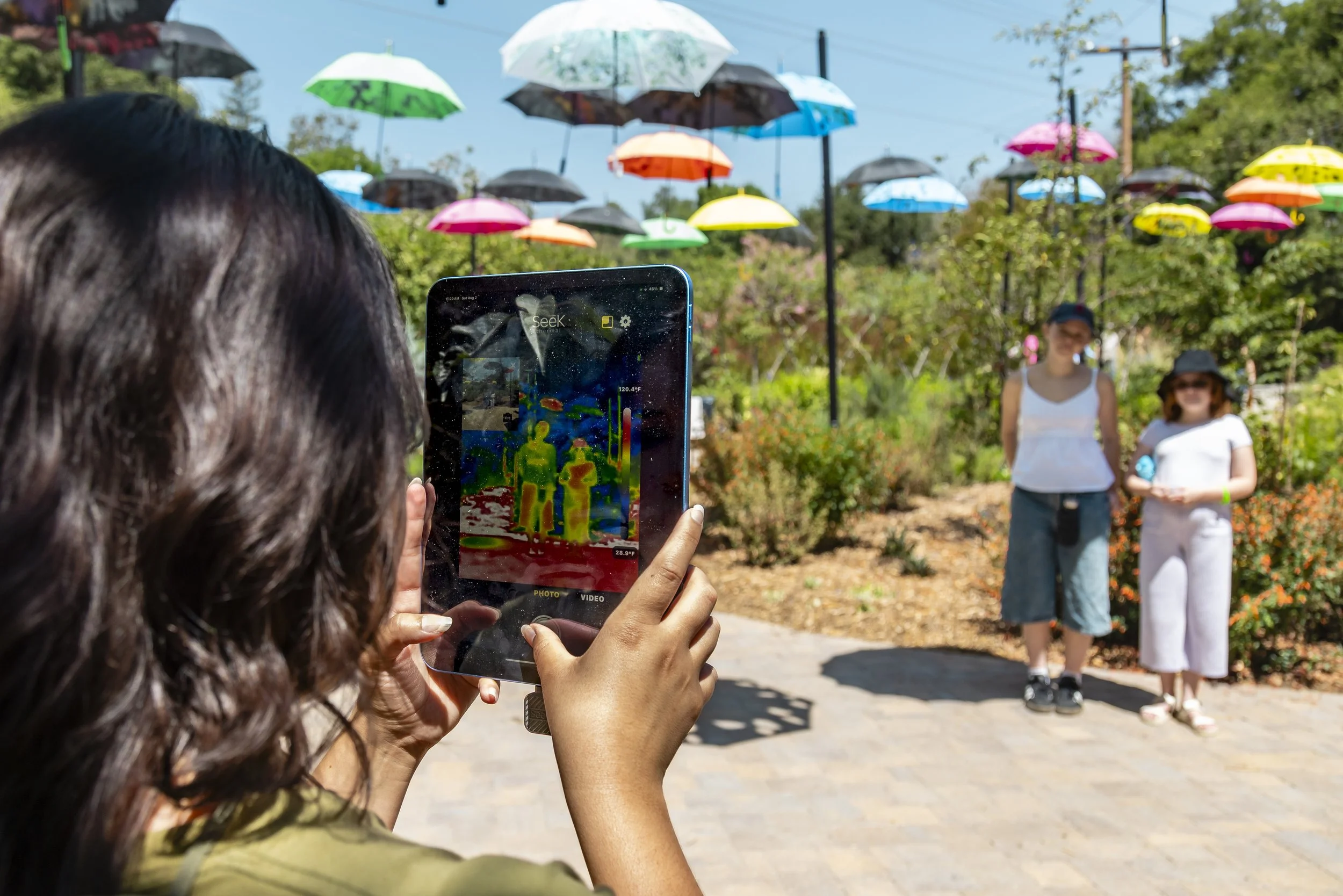
Outdoor installations throughout the gardens invited visitors to experience and contemplate the possibilities — from a series of imaginative bus stops exploring access to urban shade, to suspended repurposed tree umbrellas that serve as a metaphor for the vital cooling functions of trees, to a forest of wayfinding love letters in a time of climate change.
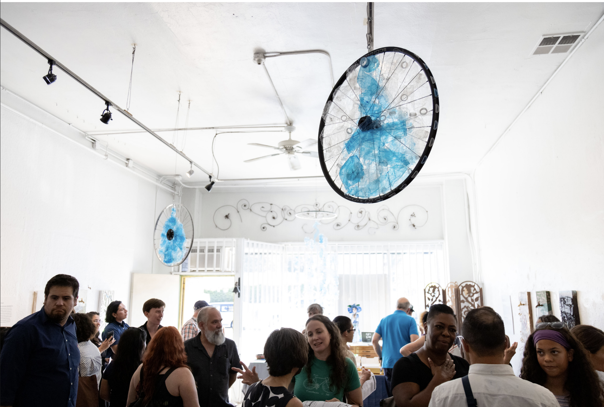
An accompanying group art exhibition at the Sturt Haaga Gallery and Boddy House explored the past, present, and future role of trees and shade in the city, with visual and musical works to inspire us to consider what kind of future we collectively envision.
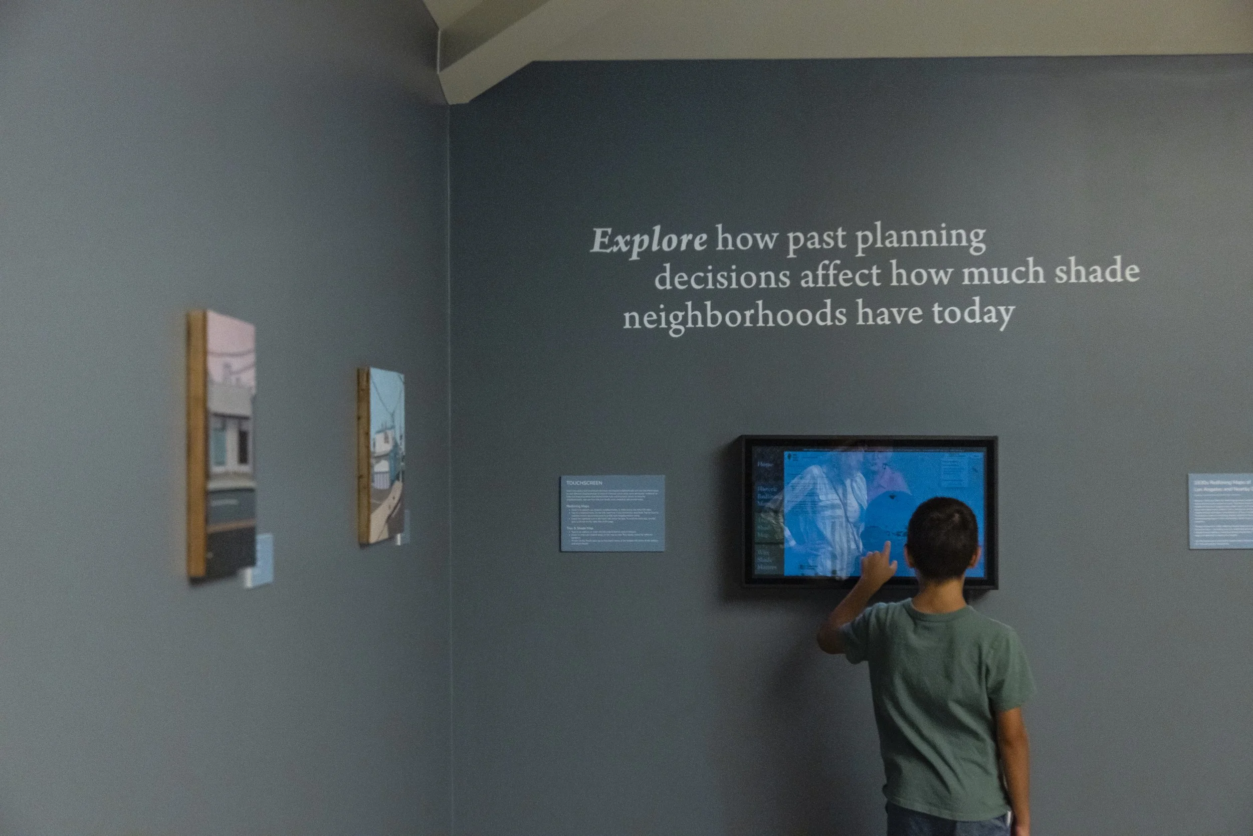
Visitors learned how policy and investment decisions impact neighborhoods through interactive exhibit elements, including exploring areas that were historically “redlined” (a historical federal practice that denied home loan and insurance access to minority neighborhoods), and how tree and shade cover inequities still persist today.
Tens of thousands of visitors interacted with the exhibit during its three-month run, including more than 6,000 who conveyed their visions, sentiments and concerns related to a hotter climate by responding to prompts in drawing and writing, and by participating in a poster-sized shade facts survey.
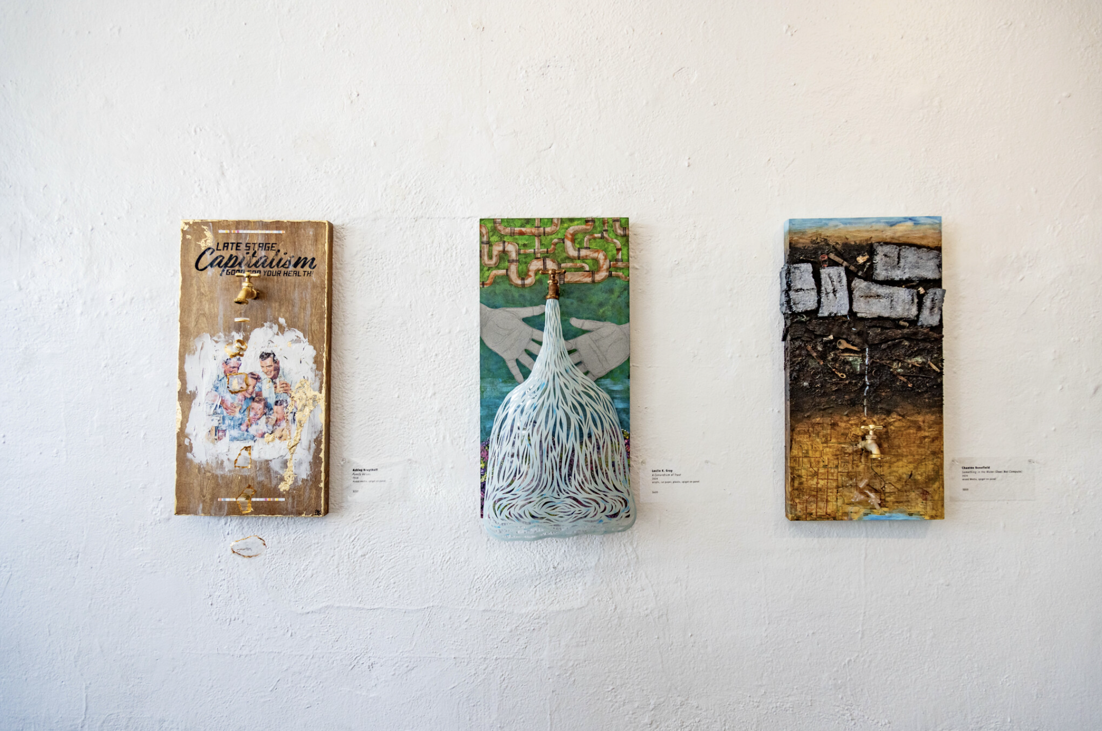
Roots of Cool was curated by Edith and Jolly de Guzman. Exhibiting artists included Robin Lasser, Leslie K. Gray, Chantée Benefield, Kim Abeles, Victoria Arriola, Pascaline Doucin-Dahlke, Cidne Hart, Diana Kohne, Lisa Tomczeszyn, Lois Keller, Sarita Zaleha, Shoshana Ben-Horin, Valerie Daval, and Yarnbombing LA.
This exhibition and its programs were curated in partnership with UCLA Luskin Center for Innovation, University of California Agriculture and Natural Resources, Los Angeles Center for Urban Natural Resources Sustainability, TreePeople, USDA Forest Service, Arroyo Arts Collective, The Nature of Cities, Avenue 50 Studio, USC Public Exchange, Dashboard.Earth, and Accelerate Resilience Los Angeles.
This exhibition and its programs were generously funded, in part, by Perenchio Foundation; Accelerate Resilience LA, a sponsored project of Rockefeller Philanthropy Advisors; TreePeople; the Los Angeles County Board of Supervisors through the Department of Arts and Culture; and an endowment from Heather Sturt Haaga and Paul G. Haaga, Jr.
Click to view the exhibition catalogue, listen to original music composed for the show by Shoshana Ben-Horin, or view this delightfully quirky mini-doc of the opening reception. Photo credit: Shanley Kellis.
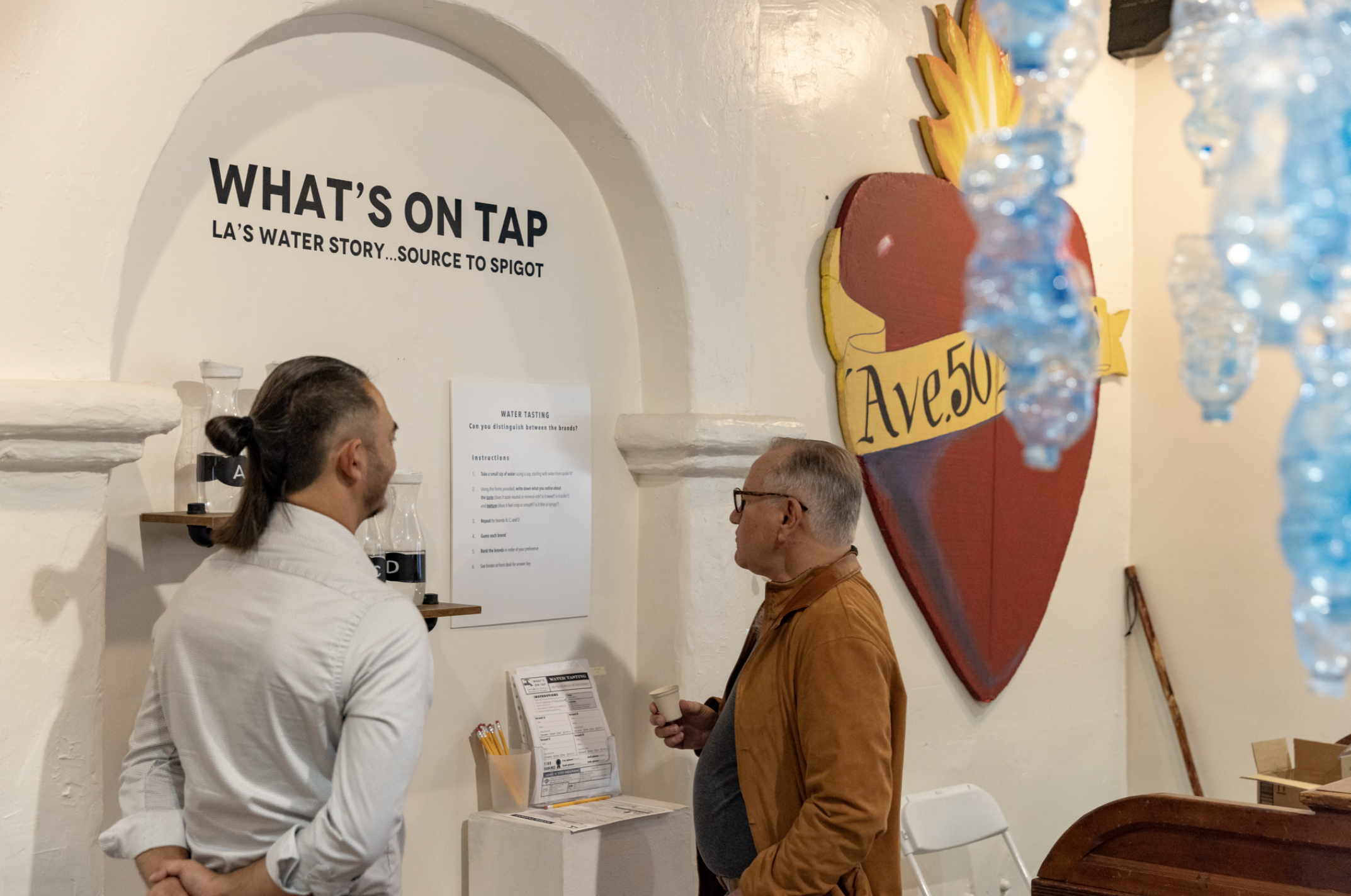
What’s On Tap: L.A.’s Water Story…Source to Spigot
Avenue 50 Studio, Los Angeles, CA | July 13 — August 10, 2024
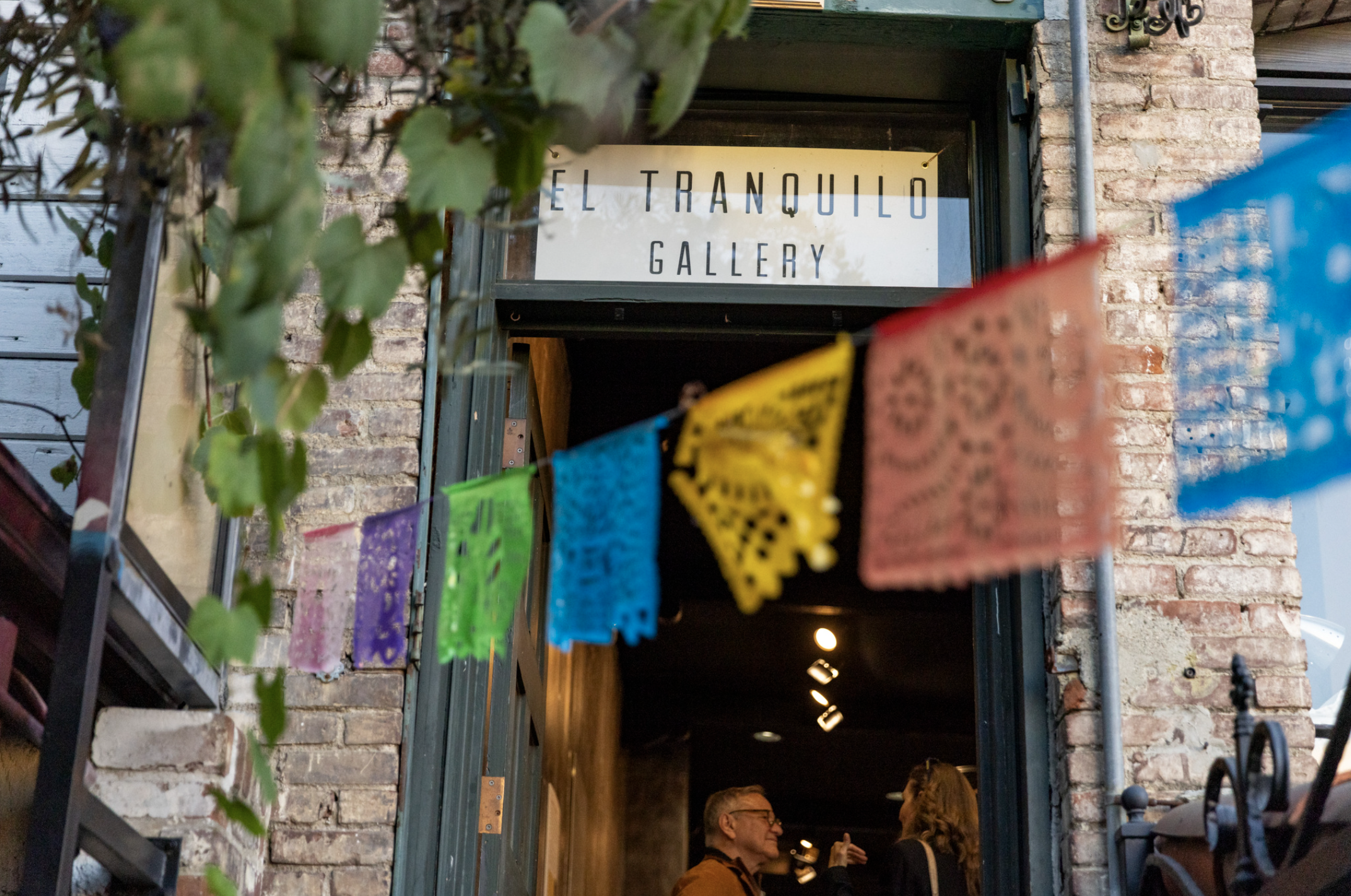
El Tranquilo Gallery, Los Angeles, CA | August 24 — September 29, 2024
Water (R)evolution Symposium, Carson, CA | October 15, 2024
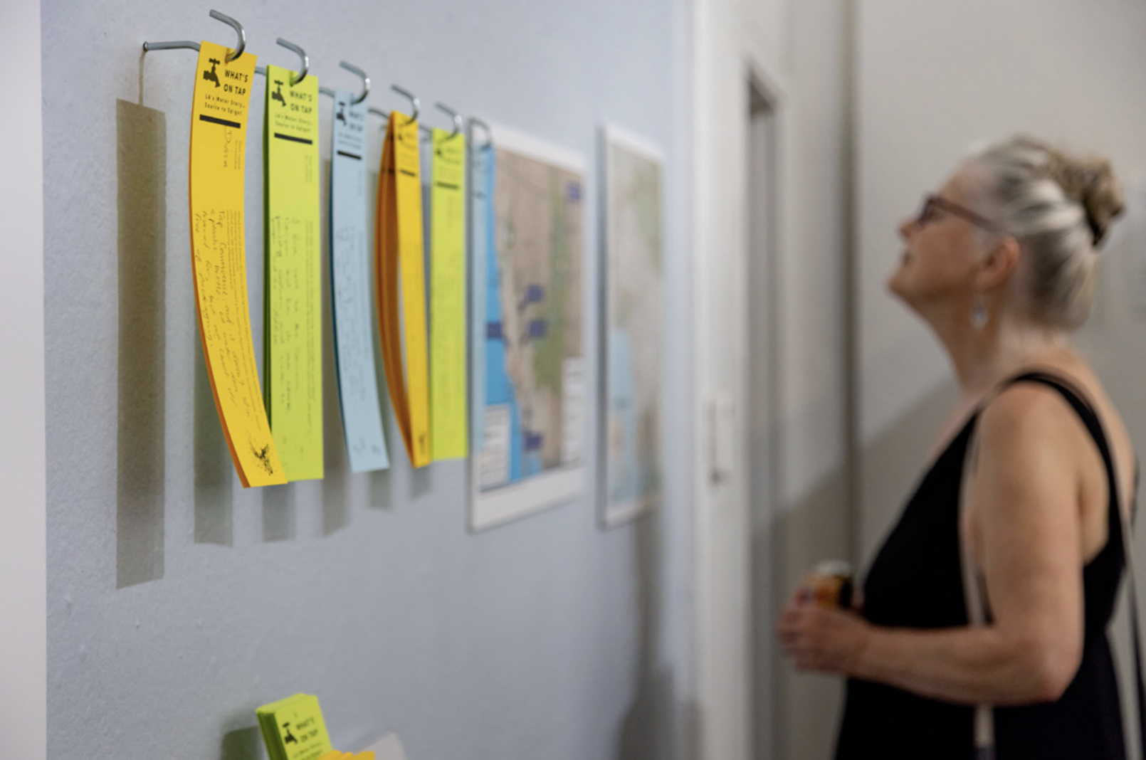
Communities throughout the Los Angeles region face a variety of water challenges, ranging from access to clean water to affordability. To engage a public audience in exploring the predominant water issues affecting the L.A. region, we curated a science-based, interactive exhibit which used art to engage audiences. The exhibit explored five distinct themes: local water and groundwater; imported water; human right to water; tap water (dis)trust; and affordability. Fourteen artists each used a wood panel with a spigot installed on it as their “canvas” and responded to one of five prompts corresponding to these water issues.
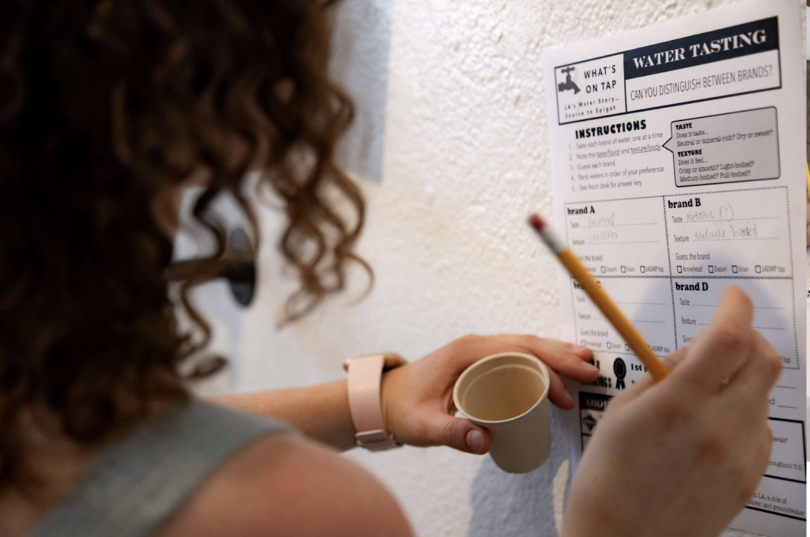
Audiences participated in activities including a blind water tasting, where participants ranked and attempted to identify various bottled water brands against local tap water, based on taste and texture. Visitors also responded open-ended prompts exploring thei water concerns, consumption habits, and emotional connections to natural water bodies.
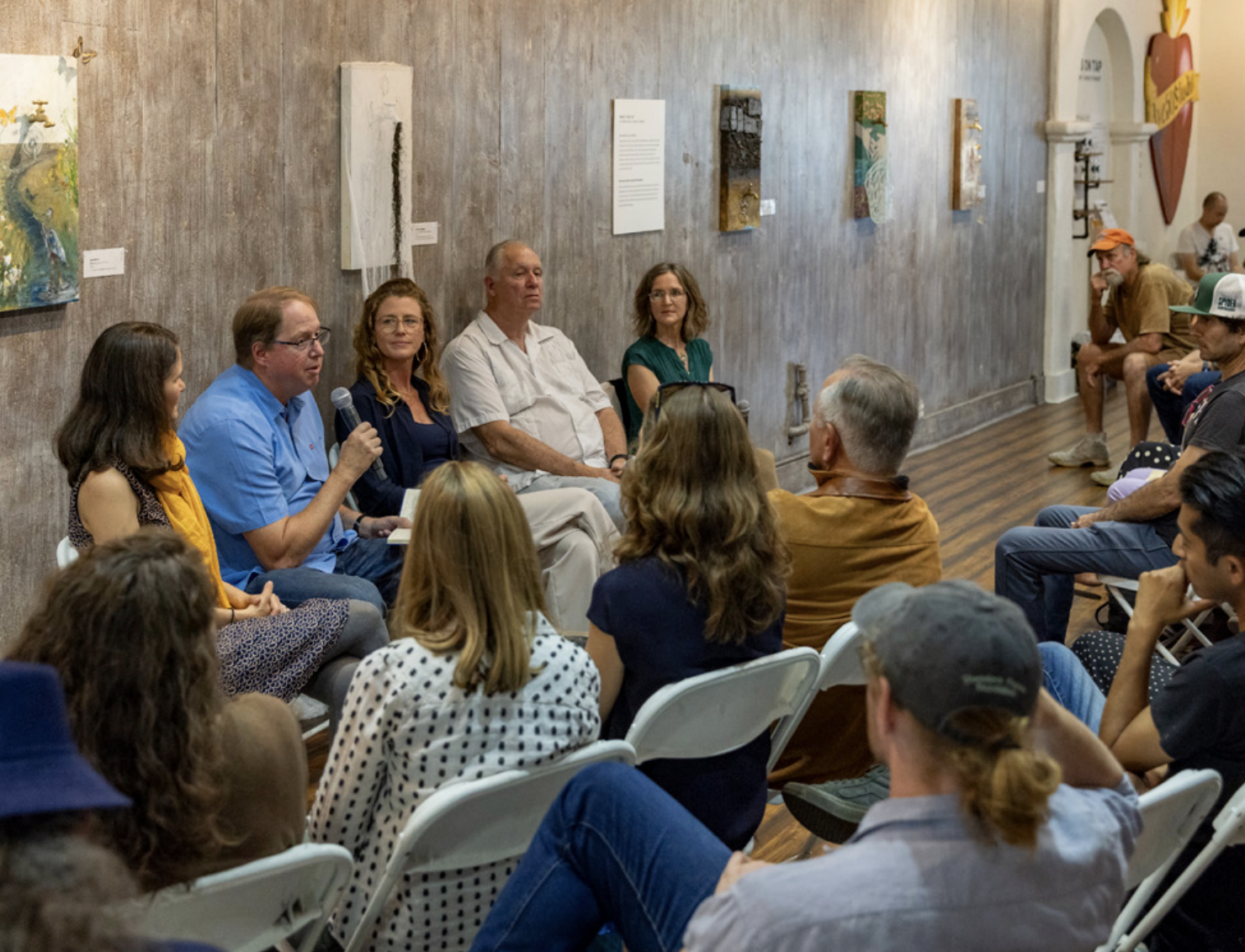
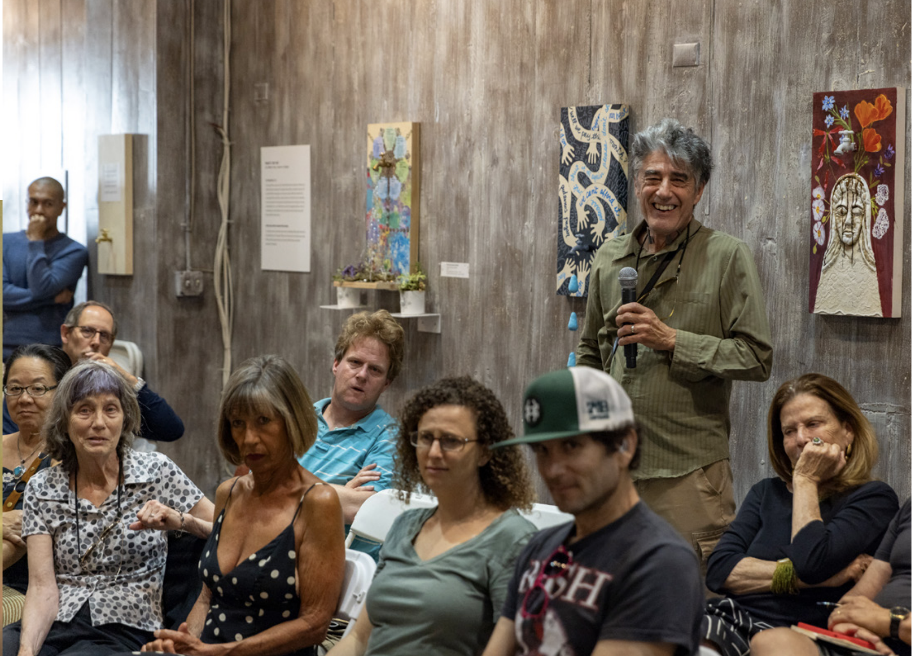
Opening and closing receptions included moderated panel discussions that bookended the exhibit, bringing together experts and community voices to delve deeper into themes of water equity, local water, infrastructure, and public trust.
The exhibit was presented in partnership with the UCLA Luskin Center for Innovation and UC Agriculture and Natural Resources, and was supported by Accelerate Resilience Los Angeles, the California Institute for Water Resources, Avenue 50 Studio and the City of Los Angeles El Pueblo Historical Monument.
Click to view the exhibition catalogue or read the UC report on the exhibition and its approach to visitor engagement. Photo credit: Shanley Kellis.


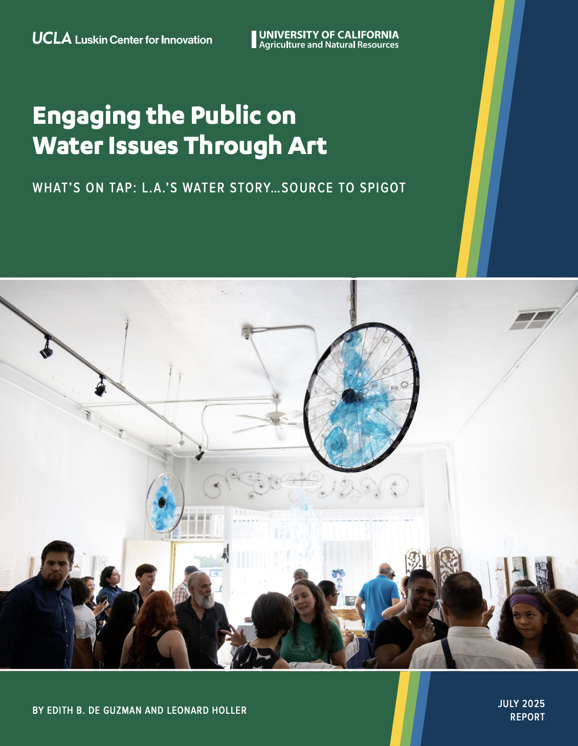
University of California report on the exhibit (click image to access)
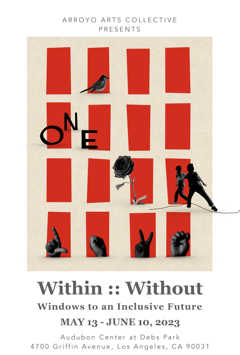
Within/Without :: Windows to an Inclusive Future
Audubon Center at Debs Park, Los Angeles, CA | May 13 — June 10, 2023
At the invitation of the Arroyo Arts Collective, we curated a juried visual exhibition of site-specific, temporary installations located throughout the 17 acres of the Audubon Center at Debs Park, in Los Angeles’s Highland Park neighborhood.
For this exhibition, artists were invited to utilize a repurposed window or frame to explore the topic of inclusivity. Artists responded to the prompt: How do you envision a future that is inclusive, where the “other” is no longer marginalized, and where differing opinions are not silenced or censored?
Representing a wide array of perspectives and materials, the artworks invite audiences to explore a variety themes, including: cross-cultural understanding; connecting to nature and non-human creatures; spiritual growth; environmental sustainability; how wealth is generated and shared; and communication that is inclusive irrespective of hearing or vision ability or loss.
Within/Without::Windows to an Inclusive Future is made possible through the generous support of the Los Angeles Department of Cultural Affairs and the Los Angeles County Board of Supervisors through the Los Angeles County Arts Commission. Programming was presented in partnership with the Audubon Center at Debs Park.
Click to view the exhibition catalogue and listen to original music composed for the show by Shoshana Ben-Horin.